Yet again we had a fairly hassle-free drive up the A5 and the M6, this time to Junction 36. After a quick stop-off in Ambleside for Chris to pick up some odds and ends, we set off for Coniston.
We parked up at the old quarry car-park near Timley Knott on the Walna Scar Road and got ready for action. Packs were hoisted and we were off along the Road, heading for The Cove. This is familiar ground for me - I spent two weeks mapping this area as a Brum Uni geology undergrad way back in '82, and I took Chris there in '98 for a day-walk. Even so, there is still much of interest, geological and otherwise, despite the distraction of the trail of loose-dumped rock that is supposed to be a repaired path:
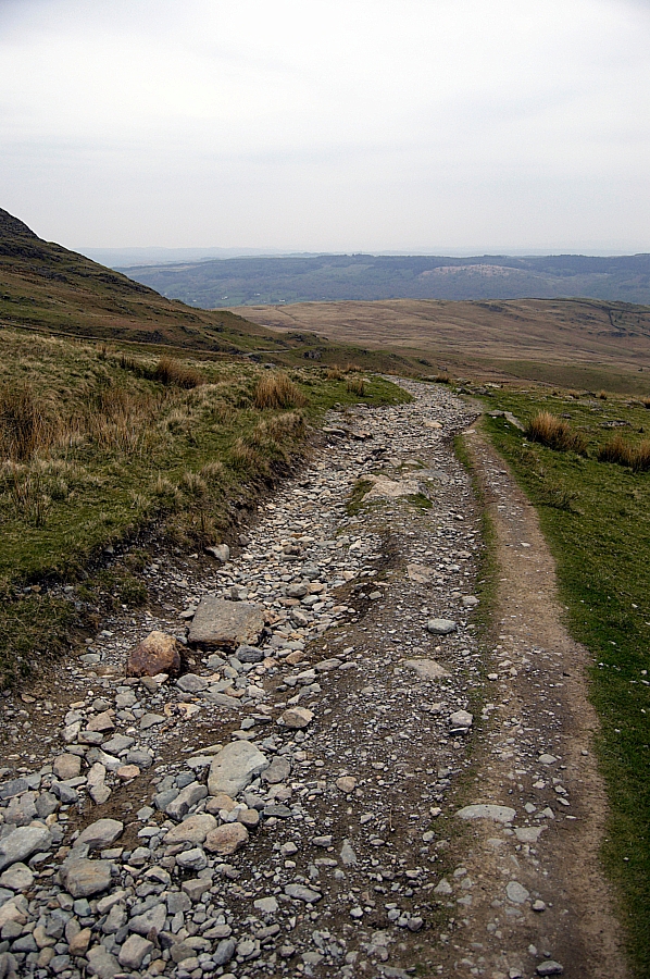
Looking back down the "path" towards Coniston
As you can see, the hazy cloud meant that the light was flat, so the pics aren't up to much.
Our first objective was to pitch where we would be able to walk the Dow Crag ridge the next day, and the decision-point for choosing which way to tackle the job was the junction where the path splits below Little Arrow Moor - straight on for Blind Tarn, right for Goat's Water. We weighed up the options... Goat's Water was the easy option, lower and more accessible, but we'd been there before and it was only on our options-list in case we were running out of time and/or light. As we were doing fine for both, we stayed on the Road and soon we reached Cove Bridge, where we stopped for a few pics:
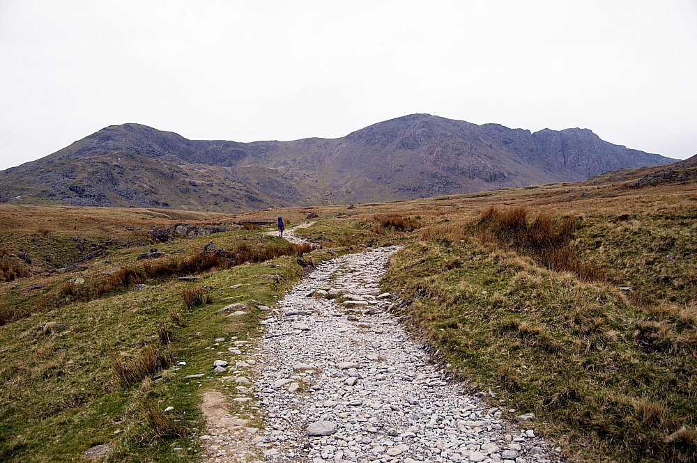
Looking up the "path" towards the ridge
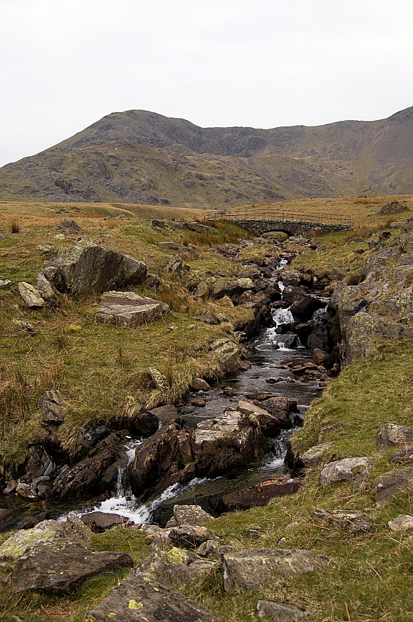
Cove Bridge and Torver Beck
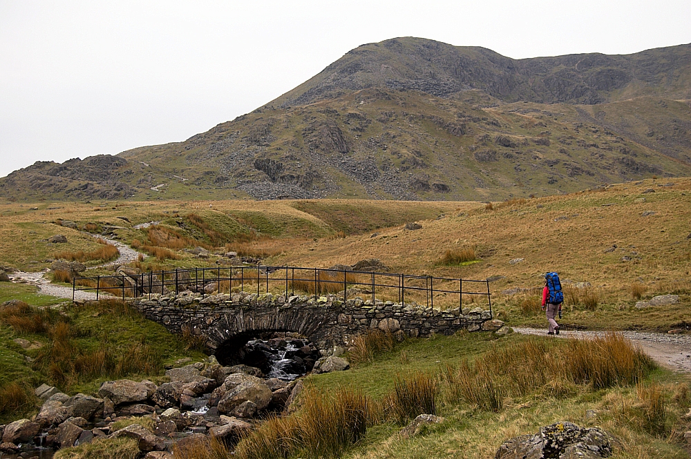
Chris approaching Cove Bridge
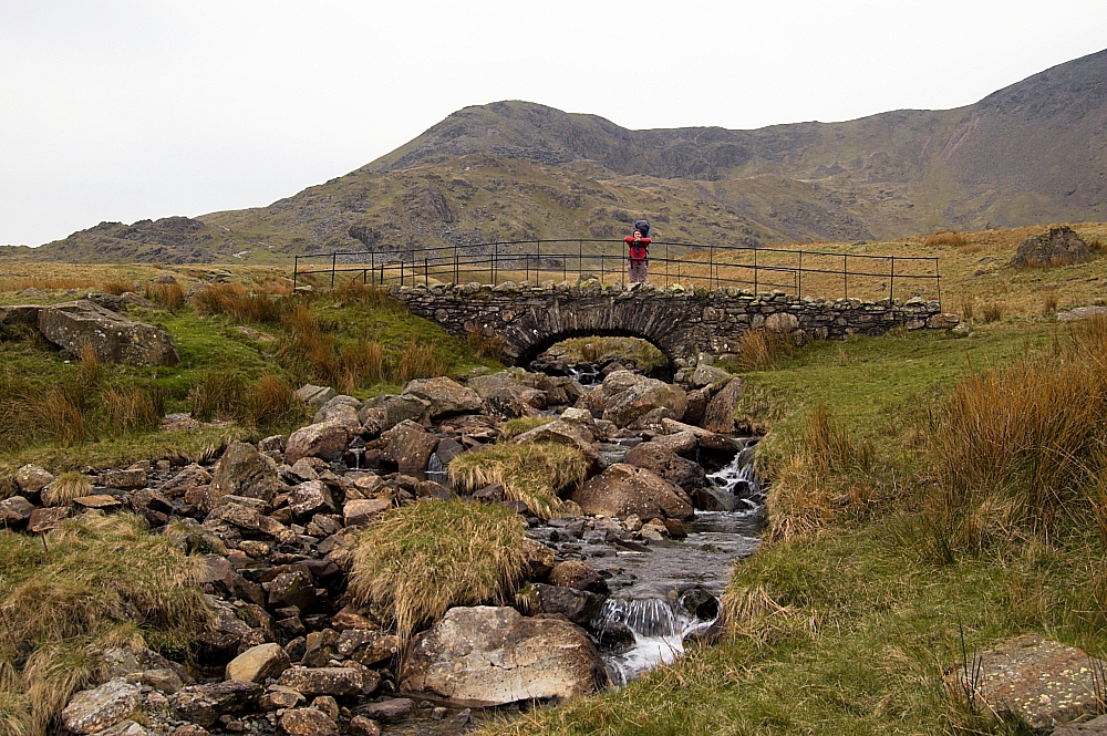
Chris on Cove Bridge
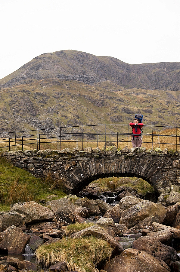
Brown Pike beyond the poser on the bridge
After that we continued along the Road, heading for Blind Tarn, a place recommended by a certain Mr. Hee.
The loose-dumped surface started to get steeper as we reached Goatfoot Crags on the lower slopes of Brown Pike, and after much boot-scuffing we found the man-made grassy rake that leads to the high quarries above the natural bowl that holds Blind Tarn. After a few minutes we were at the waterside, and we had the place to ourselves, which is just as well, as there are only a couple of places there which would take our tent with any degree of comfort.
Due to our well-practised routine (we pitch the inner together, then I deal with the outside stuff while Chris sorts the gear inside), we were soon pitched and ready to enjoy the rest of the evening, which was warm and hazy with a light breeze. As the darkness set in the haze cleared and we could see the lights of the coastal towns all the way down to the coast of North Wales - impressive stuff!
To be continued.



See you found the easy way up to the tarn on the way up. I didn't spot the thing until I was exploring after getting up there. A much more dignified approach.
A nice spot.
We used the lower path, which follows a buried drainage/waste pipe, the end of which is easily found at the side of the WSR. The junction is also marked with a cairn. It's a doddle to find on a Google Map.
The upper path is hard to find, and leads only to the upper reaches of the mine, which would have meant a dodgy descent down the steep slate spoil-fans, no doubt followed by a nasty accident and/or an early bath!
I clicked again. Getting a habit this. Very good walk you are sharing there with us.
Steady on, Martin. You'll end up with RSI or CTS, and before you know it you'll not be able to hold your flagon of ale securely.
"Dear Sir
We tried to deliver a shed to your premises recently but were unable to gain access. Internet research has revealed that you were away pissing about in a tent in the middle of nowhere when you should have been at home letting our driver in.
Our next delivery window is the morning of December 22nd.
Yours, etc..."
Behave, or I'll have the Gurkhas come sort you out... if I can find any.
[...] even though it was cut short by an accident, BG’s trip to the Coniston fells gave me a few ideas for a future [...]