The night was mild with just the odd flap of the tent, nothing to worry about. We woke at 05:15 to find the skies almost clear, so I went for a stroll to take a few pics as the sun worked its way from behind the shoulder of The Old Man:
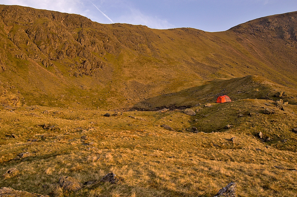
A well-concealed wildcamping tent 🙂
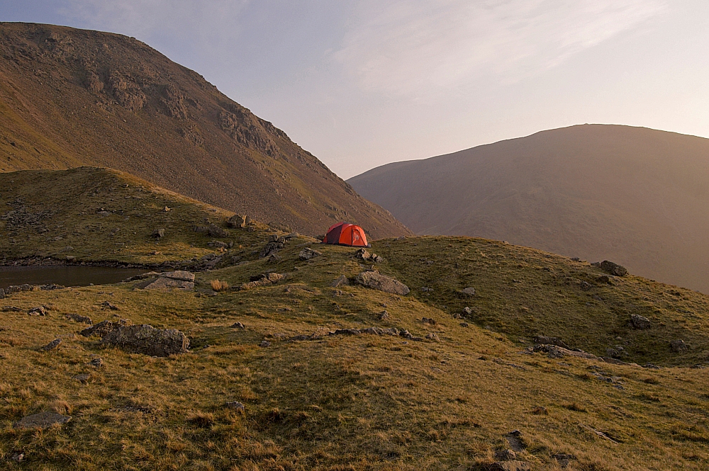
You can't see it from here either, can you?
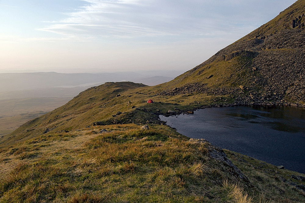
OK, let's make it a tad easier for you
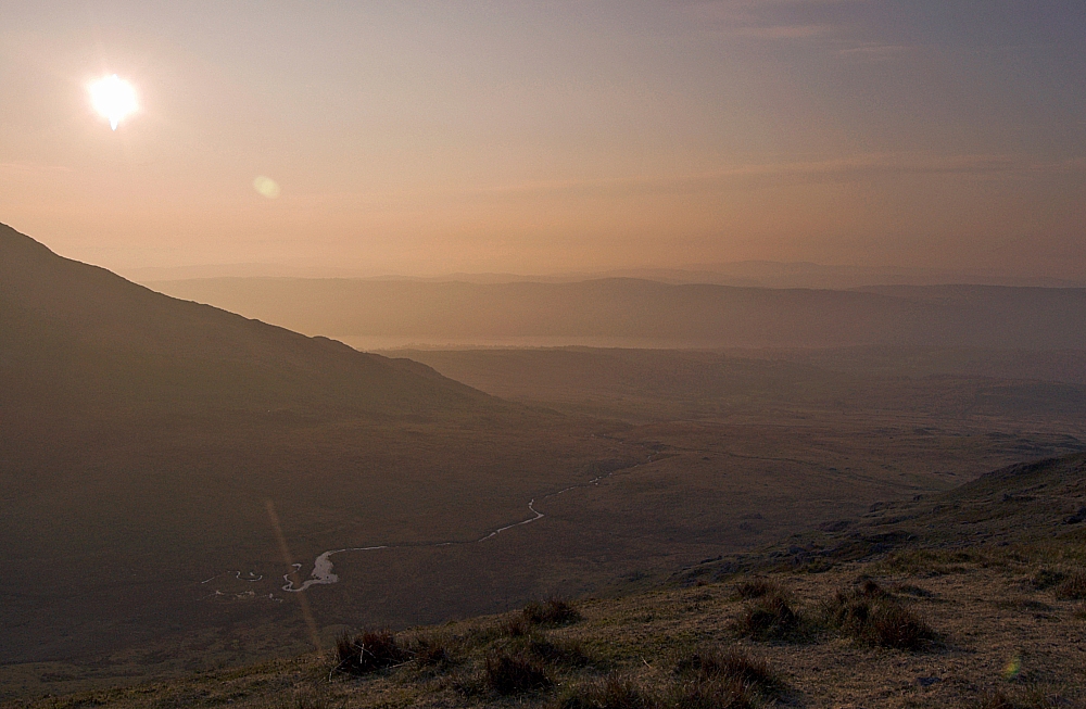
The view sunwards
Breakfast was a quick and simple affair, and then it was time to strike camp and to filter sufficient tarn-water for the rest of the day, there being precious little available on our chosen route.
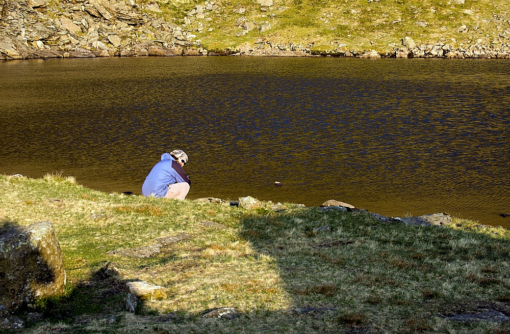
Water: gathering, not depositing
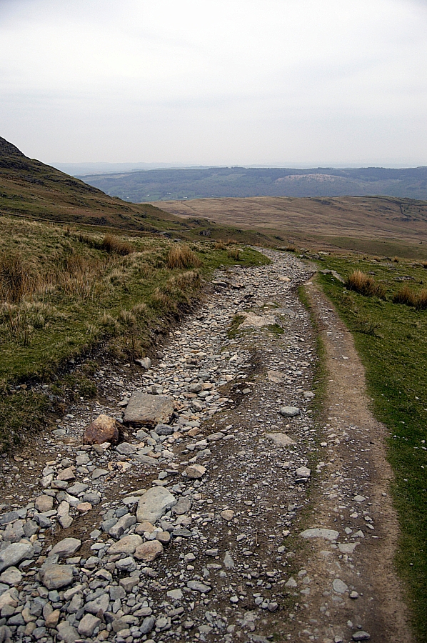
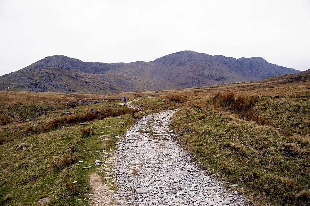
We retraced the short drop back to the Road and then continued up the river of stones to the col between Walna Scar and Brown Pike, passing by one of the old stone shelters:
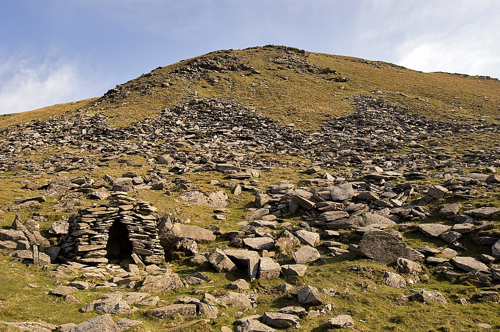
Stone hut below Brown Pike
Turning right at this crossroads, we walked up the zigzags into a stiffening breeze, which was cooling us well in the bright sunshine. A few fellrunners were about, but no other walkers had been seen yet. A few minutes later we were at the top and exposed to the full force of the wind as it ripped up the sunward slopes and over the ridge, so we had a breather in the shelter right next to the summit-cairn:
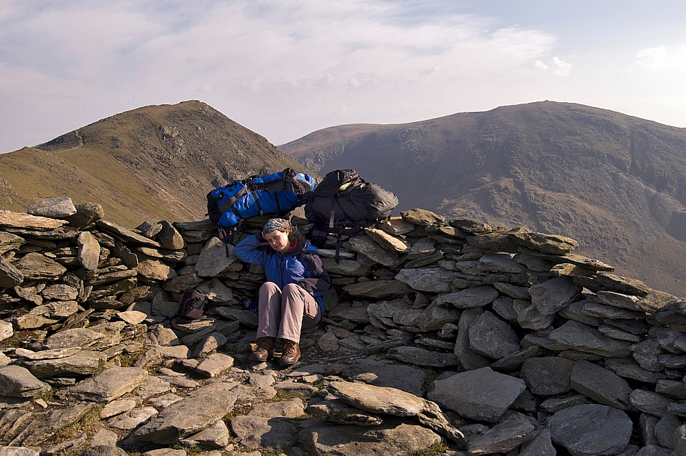
The shelter atop Brown Pike
From there, we could see the simple short ridge-walk to Buck Pike, the next top on the ridge:
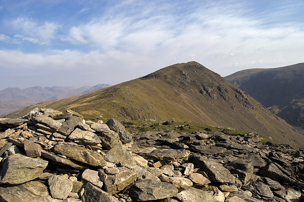
The ridge to Buck Pike
and there was a good view of The Old Man across The Cove:
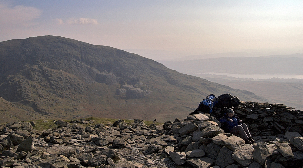
The Old Man
After a snack we set off along the ridge, passing this striking view down towards Blind Tarn and our vacated pitch:
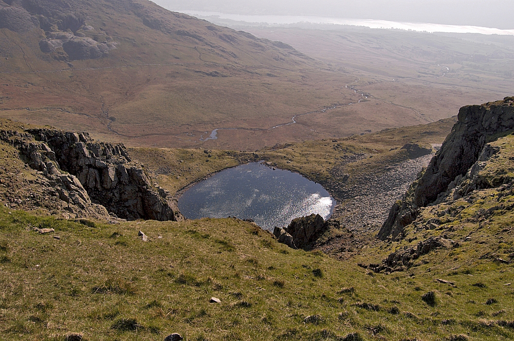
Looking down on Blind Tarn from the ridge
The further we walked, the stronger the wind became. Each time we passed the top of an open gully we were blown sideways, the funnelled air roaring through the gaps at incredible speeds and playing curious deep tones as it whistled between the crags. At times the wind set up resonances in the rocks, making them hum in an eerie harmony. Rock music indeed!
We made our way over the top of Buck Pike...
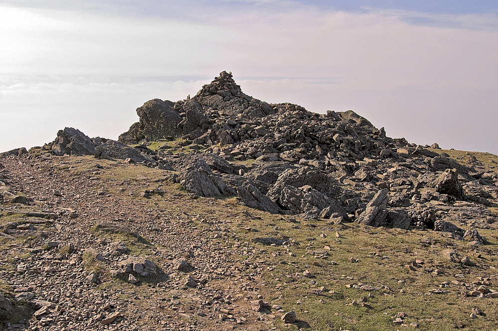
Looking back to the top of Buck Pike
and headed for the first Wainwright of the day, Dow Crag:
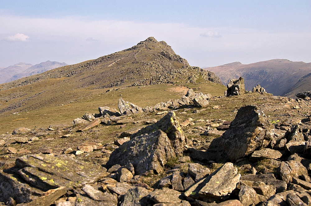
Dow Crag from Buck Pike
The ridge-path passes the tops of several gullies and the view down each was impressive. It was hard to take pics, though, as the wind was too strong to stand steadily at the edges. I managed just the one pic after crawling to the edge on all fours:
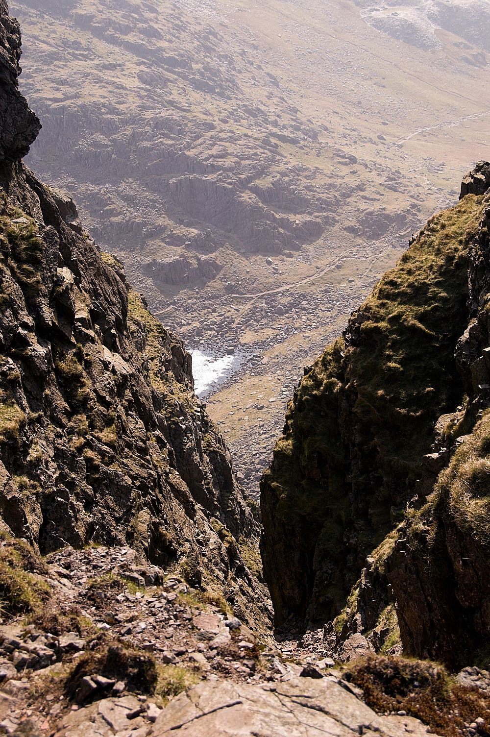
A view of part of Goat's Water, looking down Easy Gully
The summit rocks of Dow Crag were incredibly windy due to their exposed position - this was three-point-contact walking, and it was a dicey affair actually reaching the top-most rocks, which are right on the edge of the cliff, leaving no room for a cairn:
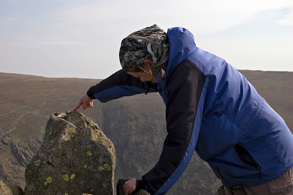
The very top of Dow Crag
The view down to the glistening surface of Goat's Water was breathtaking, or it would have been had the wind not already stolen our breath away and scattered it behind us as we peered over the edge. Taking a pic of the view was impossible - I couldn't hold the camera still enough with just one hand, and I wasn't about to allow my other to let go of terra firma. Instead, we retired to the lee of the summit rocks for some shelter and to confirm our intended route, and had to be content with the view of the ridge back to the Walna Scar Pass and beyond:
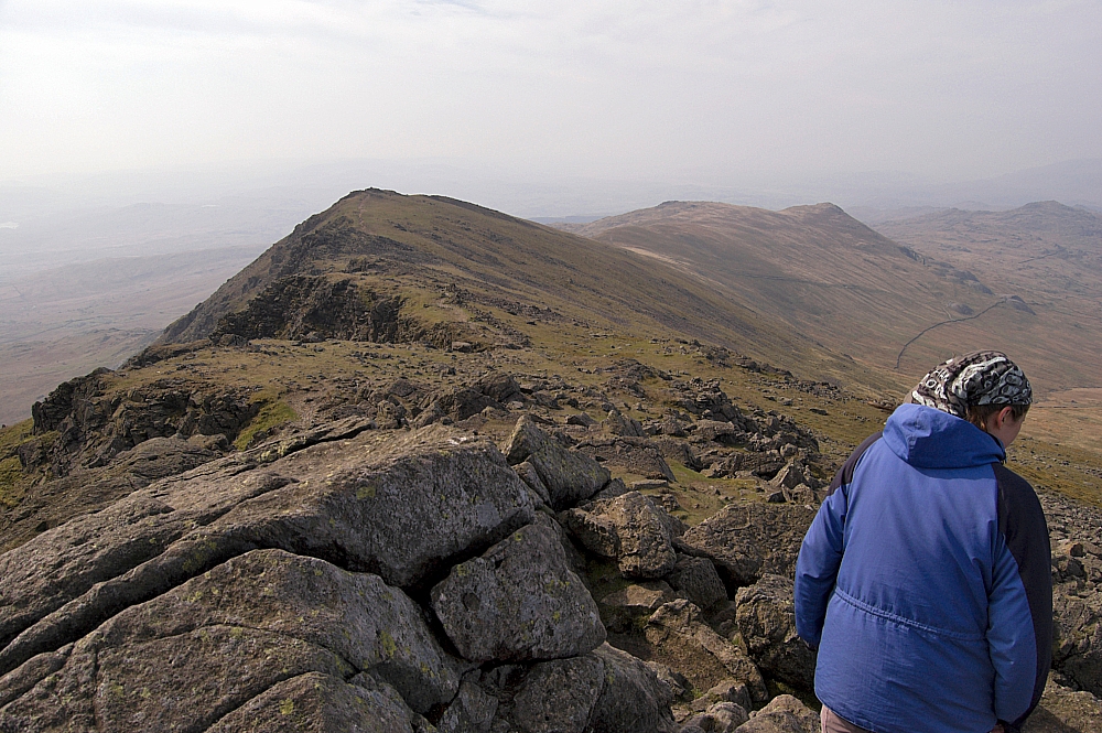
Looking back from Dow Crag - a fine ridge
The next part of the plan was to drop down to Goat's Hause and then make for Swirl How and its satellite fells via Brim Fell. We were undecided as to whether to include the summit of the Old Man, but seeing as we'd been there before, we chose to give it a miss.
We donned the packs again and headed for the Hause, with our next three objectives (Grey Friar, Great Carrs and Swirl How) in view before us. I was keeping well away from the edge, out of the worst of the wind, but at a narrow place I was uprooted by a vicious prolonged blast which twisted me around in a most peculiar way. I heard the sound of my lumbar region giving way above the noise of the rushing air, and it hurt like hell. I'm not given to shouting in pain, but this was bad.
I knew I was screwed.
The trip was over, I wasn't going to be able to do any more upping and now it was a matter of getting home without causing further damage. We took our time finding somewhere sheltered to sit and while I tried to recover we rehydrated ourselves and planned our retreat. Common-sense dictated that we should regain the car via the path alongside Goat's Water, through The Cove and back to the WSR at the previous day's decision-point. As we sat there, we were approached by a member of the one of the MRTs who was searching for a man who had been reported as having had a heart-attack near Blind Tarn. We gave as much info as possible about the folk that we had met since leaving there, then he carried on up to the top at a cracking pace. A few minutes later the SAR helicopter was hovering above the ridge somewhere near Brown Pike:
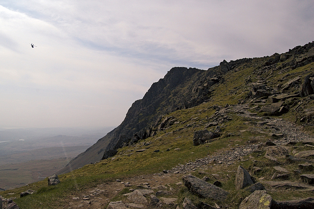
The SAR helicopter heading past Dow Crag towards Brown Pike
We got some great views from the Hause before dropping down the path to the Water:
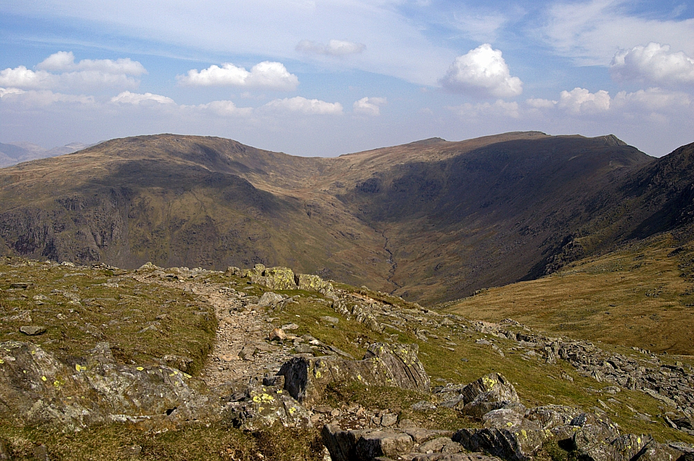
Grey Friar, Great Carrs and Swirl How from Goat's Hause
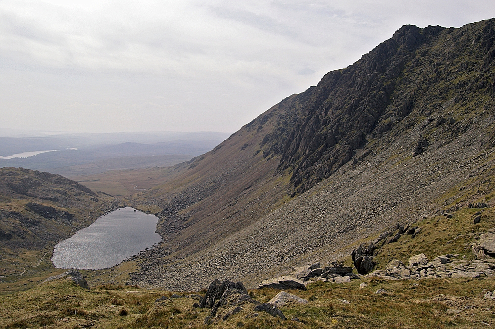
Dow Crag towering above Goat's Water
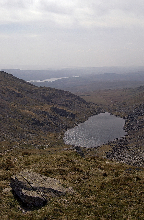
Goat's Water and the path to The Cove
Each step down the path was designed to make me wince, and each one did. Eventually we dropped out of the worst of the wind and had lunch behind some large rocks just before the waterside section of the path began. As we ate, the sunlight disappeared and was replaced by dark cloud - rain was heading our way. We made our way out of The Cove as the heavens opened and the thunder started to boom around the fells. Most of the activity was over Dow Crag and The Old Man, and I'm sure that those summits had a few lightning-strikes during that hour - I was glad that we weren't still up there. The rain stopped as we passed Boo Tarn, and by the time we reached the car-park the clouds had cleared to allow the sun to start roasting us again.
We sat in the car, dejected, trying to salvage something from the wreckage of the weekend. In circumstances like these, there's only one thing to do...
To be continued.

