Posts tagged 'Borrowdale'

A midweek mosey

Posted by on November 2nd 2021 in Great Escapes, Lakes Escapes

We'd discussed the Wednesday walk on Tuesday. The conflab centred on which of the two Wainwrights still on my to-do list would be our objective. The plan that I'd had for many years was to leave Castle Crag until the end, on the basis that it would be easy to take my folks up there to celebrate with us, but I've taken so long, having been withheld from the hills due to personal afflictions and global pestilences, that my folks are no longer in fit states to go up there. Besides, The Nab in autumn wasn't very appealing. Common-sense prevailed - we'd go up Castle Crag.

After a delightful drive down the east side of Derwentwater we made for Rosthwaite, hoping to find a vacant parking place, but we'd just missed the last one. Backtracking, we found a space in the small parking area below Red Brow. We donned packs and walked back to Rosthwaite.

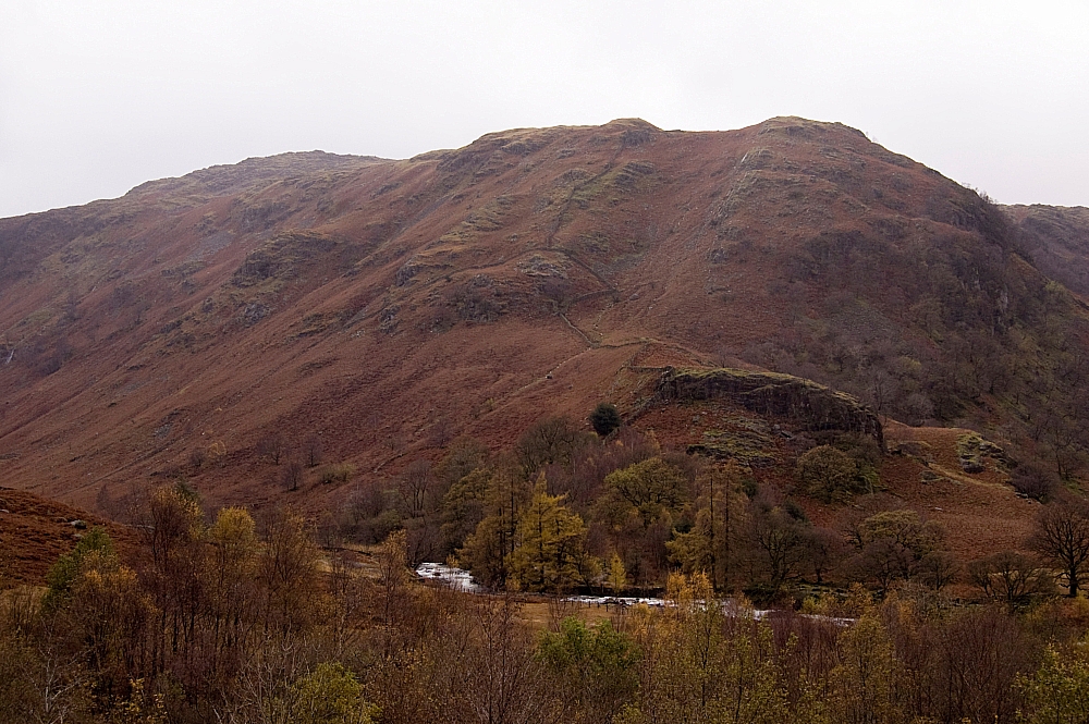
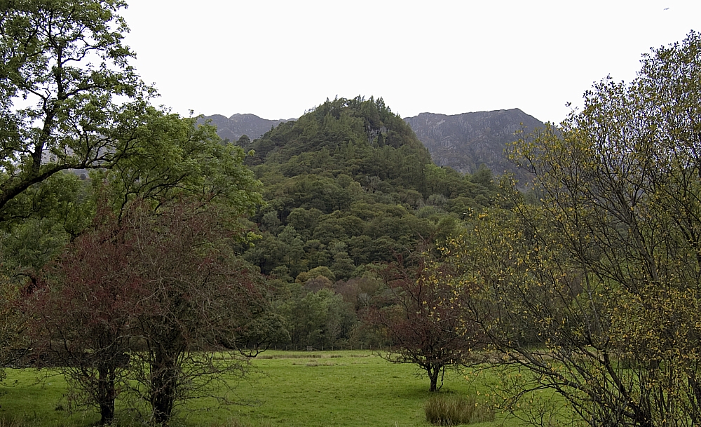
Not far along the road we got some fine views of our tree-shrouded objective:


Castle Crag


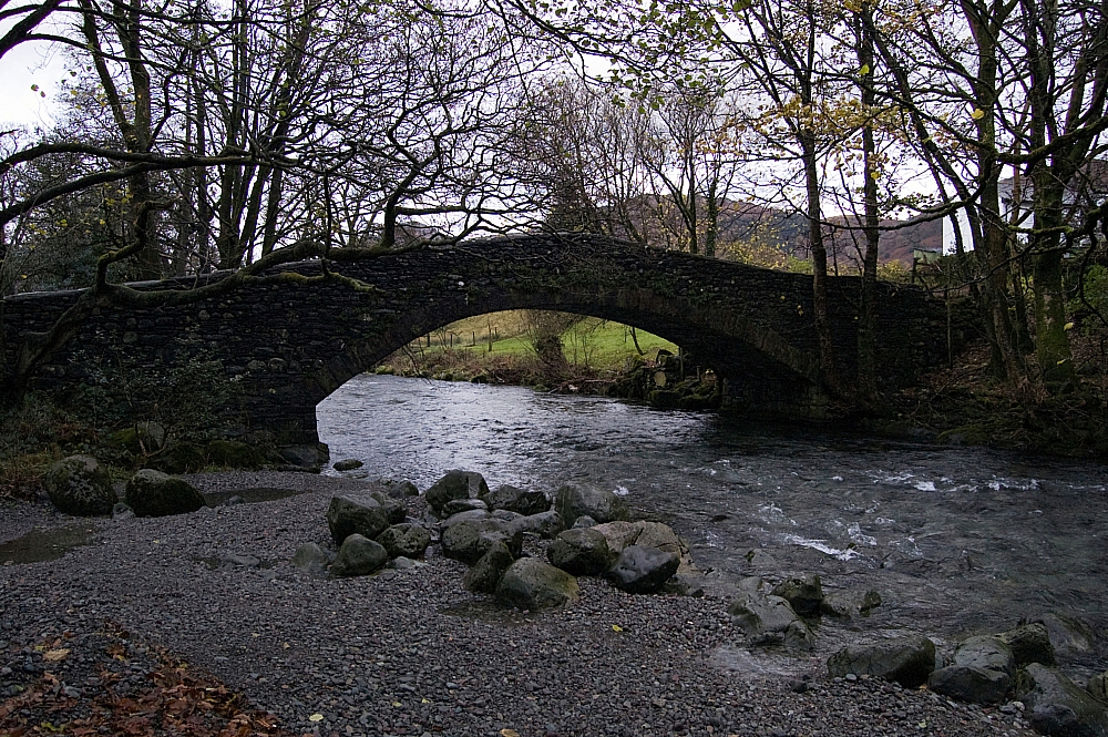
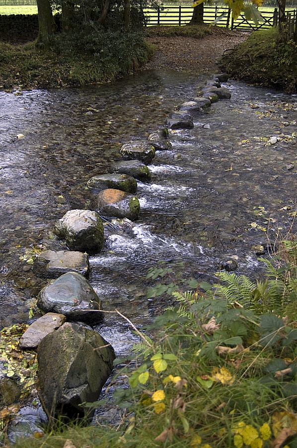
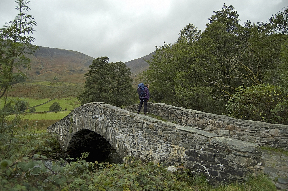
After passing through Rosthwaite we arrived at the Derwent. I was of a mind to cross at the ford via the stones, but Chris wasn't keen as she has "form" when it comes to crossing rivers and streams, so she opted for the bridge. To avoid her wrath, I did the same.


Stepping stones


Trouble over Bridged Water


From there, the route was simple enough, there were plenty of others going our way up Lingy Bank so it would have taken an epic nav error to go astray. That said, the maze of tracks caused a few "stop & choose" moments, followed by a combined snack-break and map check when we were near the Allerdale Ramble col:


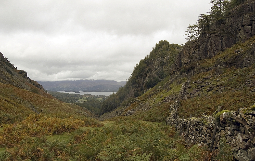
Derwentwater and Castle Crag from near the col


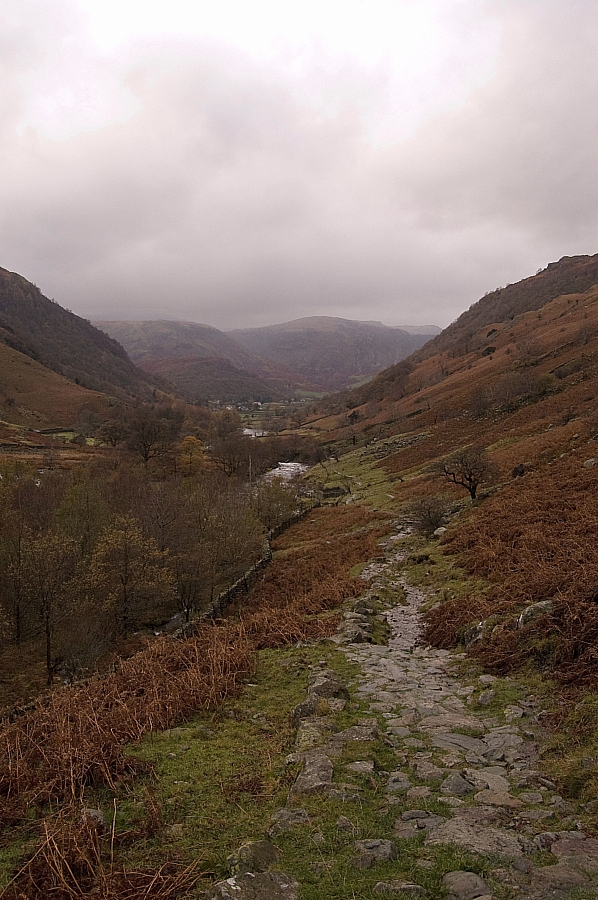
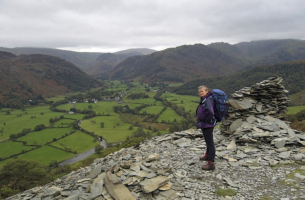
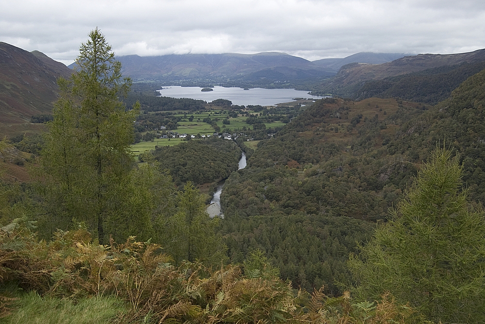
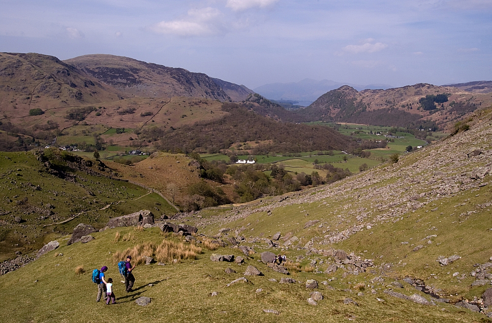
We took one of the many tracks up the fell-side, negotiating drifts of fallen leaves, some wooded crags, a set of quarry-spoil zigzags, and a party of school-kids. On the way, we paused at this superb vantage-point overlooking Borrowdale:


Profile pic


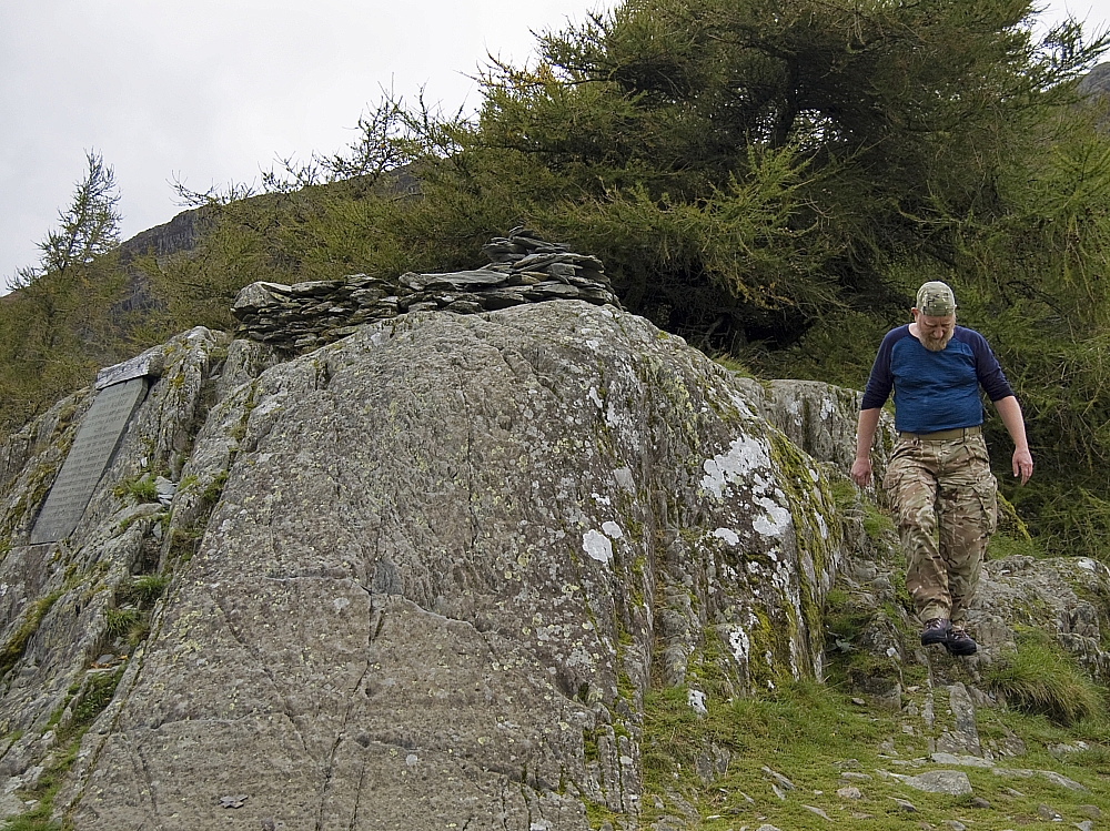
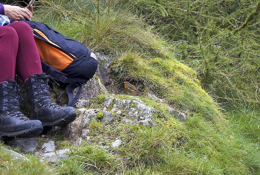
Soon we were at the top. It was a busy place - there was a couple who had passed us near the quarry, the aforementioned party of school-kids, and a fearless scavenging robin:


It's one small step for (a short) man...


Robin


As you'd expect, the view to Derwentwater and beyond was excellent


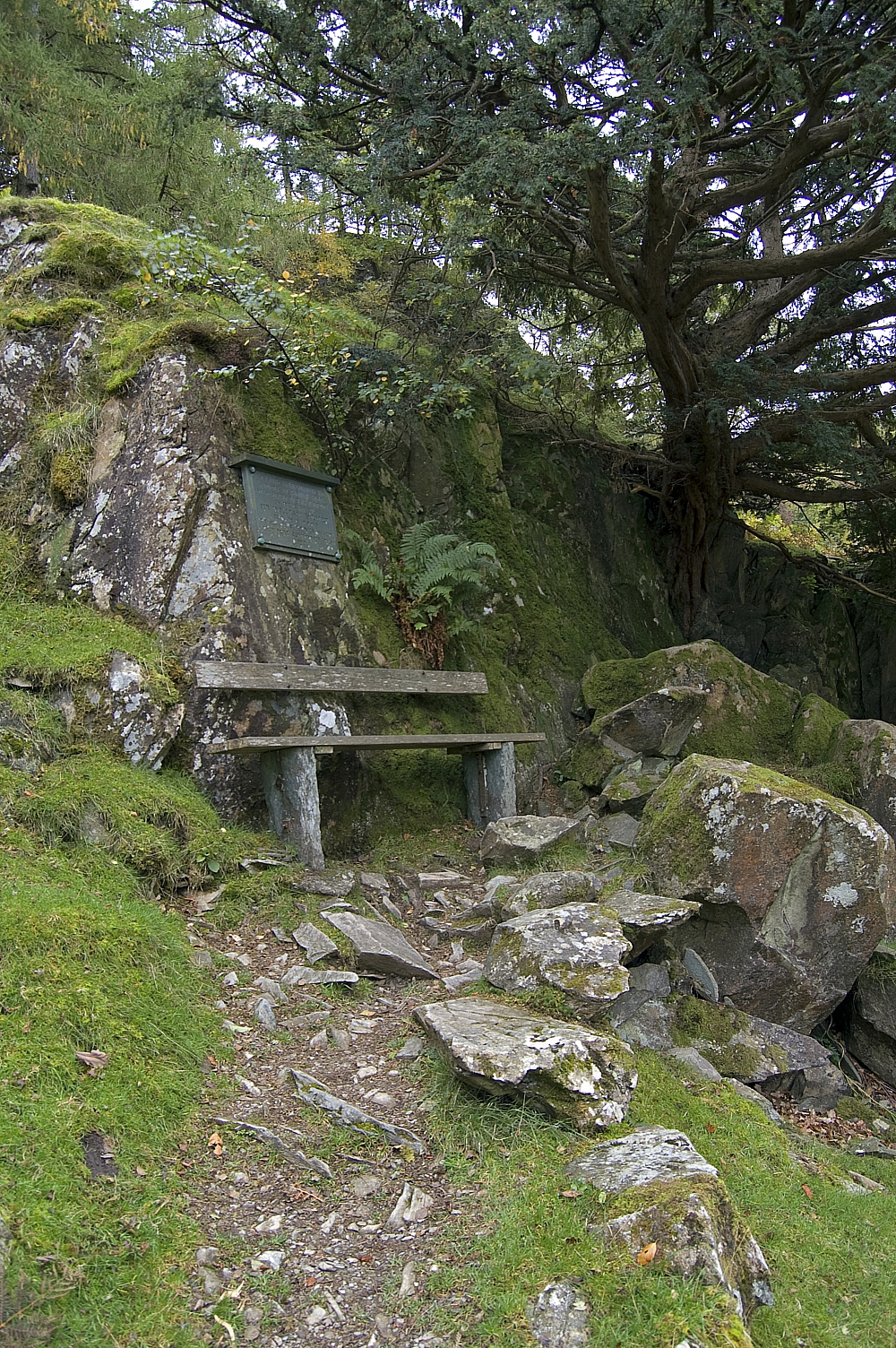
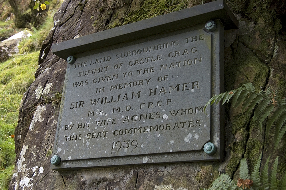
We descended via a track that took us past the Hamer Memorial Seat. I can vouch for its comfort and for the fine view that it commands:


Seat


Plaque


From there we followed the track to Gowder Dub where the Derwent was wide and shallow, with many dry shoals. Again I was keen to cross, and made it dry-footed almost all the way to the far bank, but again Chris wouldn't give it a shot. Maybe the audience of school-kids was a factor in that decision. I retreated and we descended to Grange, eschewing the ice-cream outlet, regaining the road, and trudging the mile or so back to the car.

An amusing thing happened back at the cottage during Chris' "remote" yoga session... during the relaxation phase, the teacher's words were "Imagine that you're walking through a wood...", which provoked stifled sniggering from both of us. When the teacher said "you find a bench... you sit down... and relax..." that was too much, Chris started giggling and I couldn't resist chiming in with "did that earlier, got the tee-shirt!" Thankfully the audio was one-way at that stage of the lesson.

Castle Crag. Real woods, not imaginary. Comfy bench provided.

A few days at Borrowdale – Part 2 – Short and steep

Posted by on April 25th 2011 in Great Escapes, Lakes Escapes, YHA

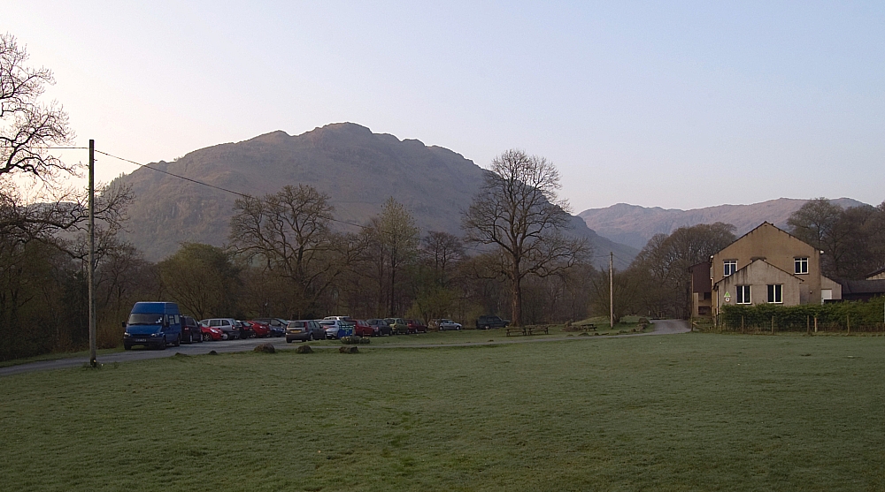
Some of us were up bright and early next morning, outside taking pics well before breakfast...


Looking over the hostel grounds


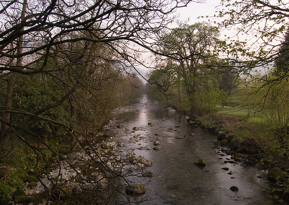
The River Derwent from Longthwaite Bridge


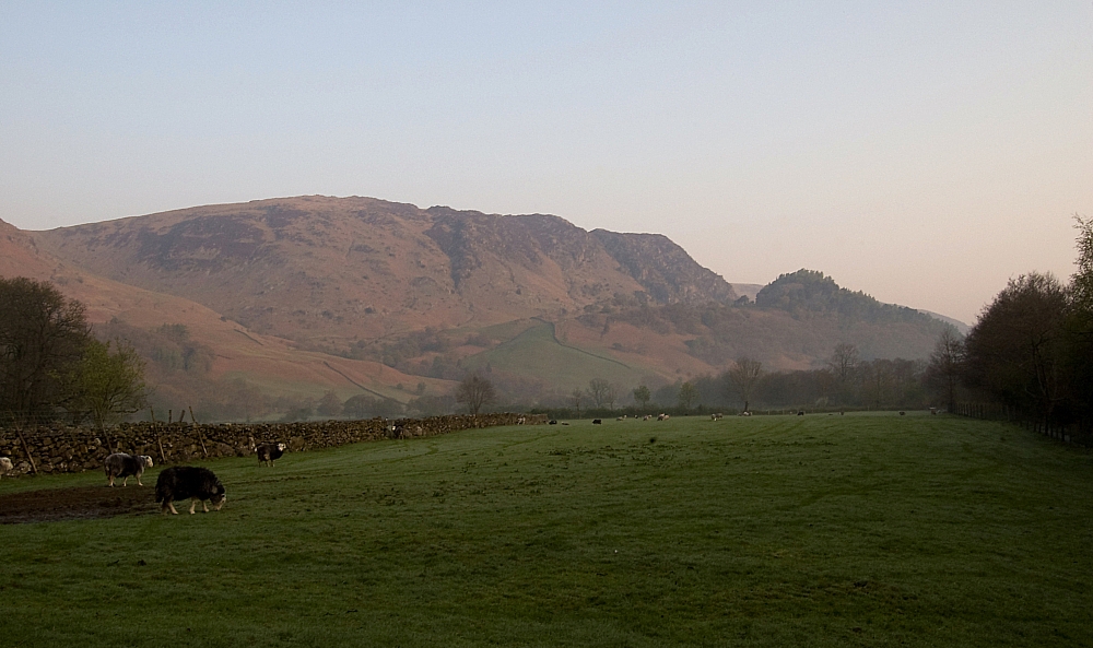
High Spy and Castle Crag


Woodwork


Eventually the others surfaced and after we had breakfasted we headed off towards our objective - Bessyboot on Rosthwaite Fell. Even though it was still early a heat-haze was beginning to develop:


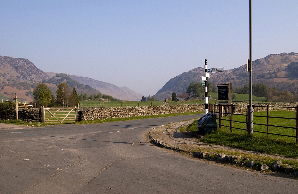
Heading for the crossroads


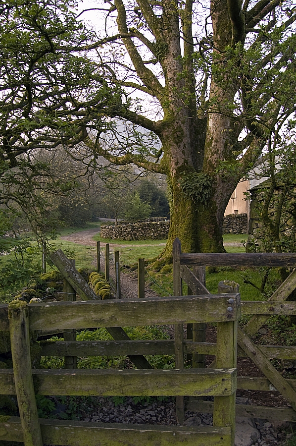
The first time I've ever seen this sign dry!


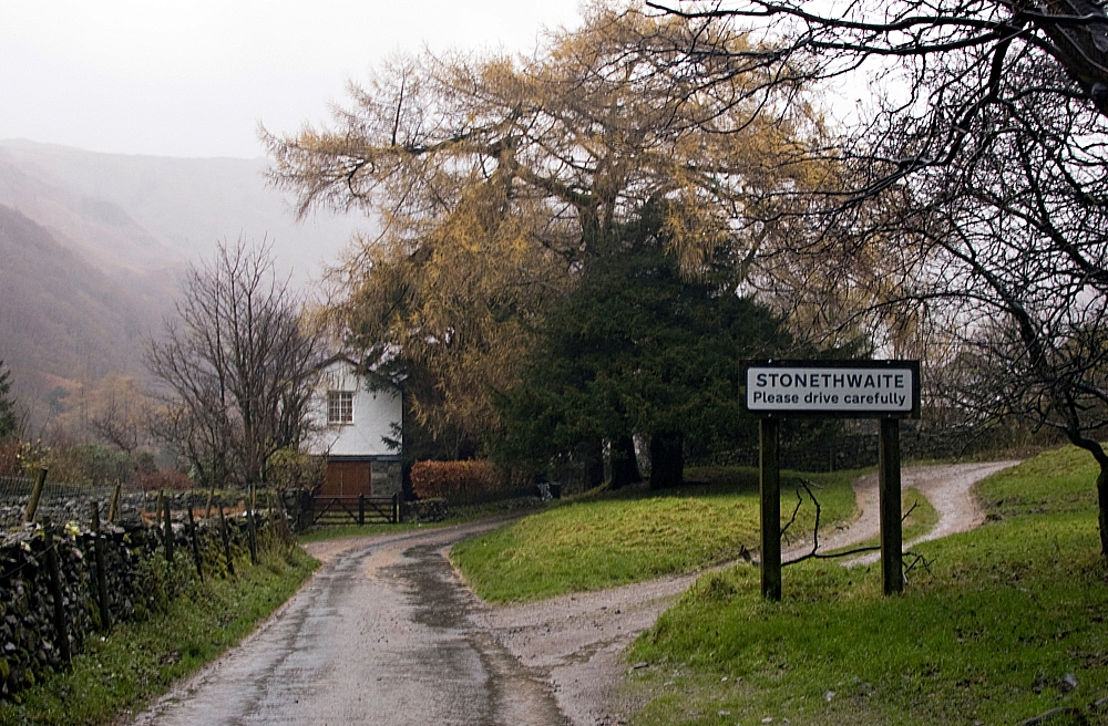
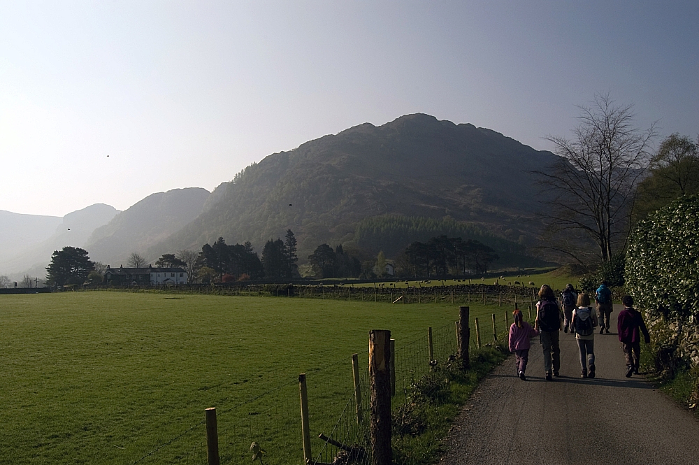
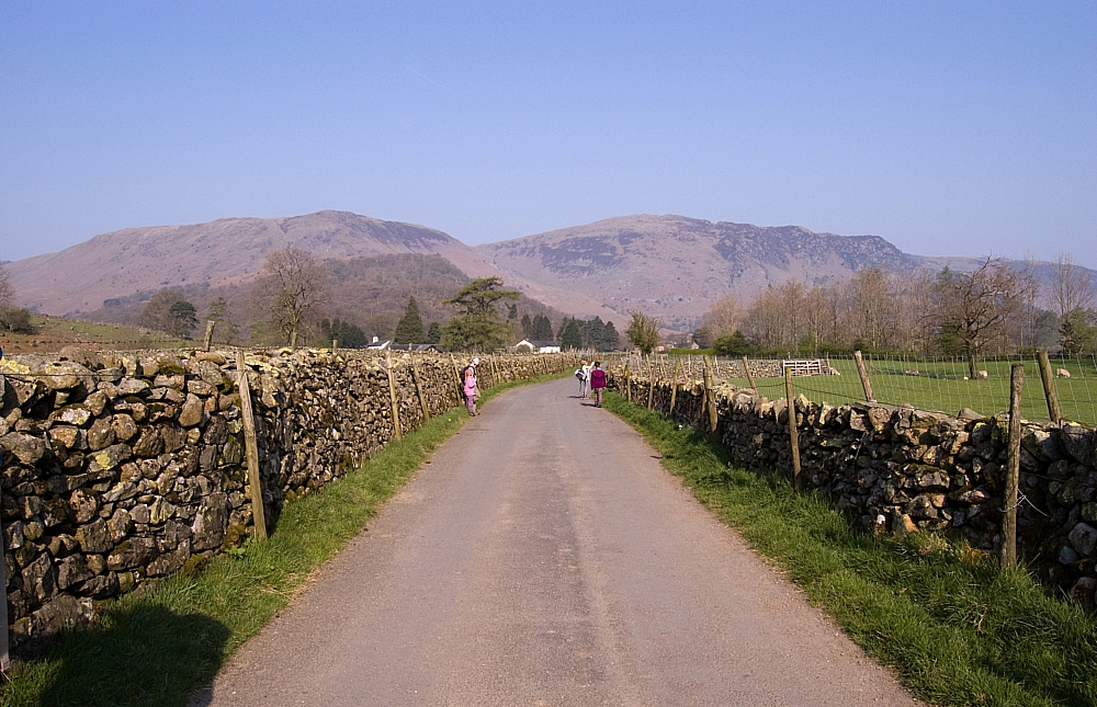
From the crossroads we headed for Stonethwaite, there were plenty of opportunities for the kids to lag behind looking at the newborn lambs:


Lamb-watchers


Beyond Stonethwaite we took the lane above the fields to the crossing of Big Stanger Gill, from where a steep but well-tended and delightful path winds up through Bull Crag Woods towards the notch between Hanging Haystack and Alisongrass Crag. The steepness and increasing heat meant plenty of stops for the kids and hence some photo-opportunities:


First pit-stop


Alisongrass Crag and the fells above Watendlath


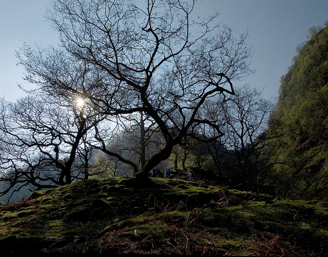
The path twists and turns between the trees


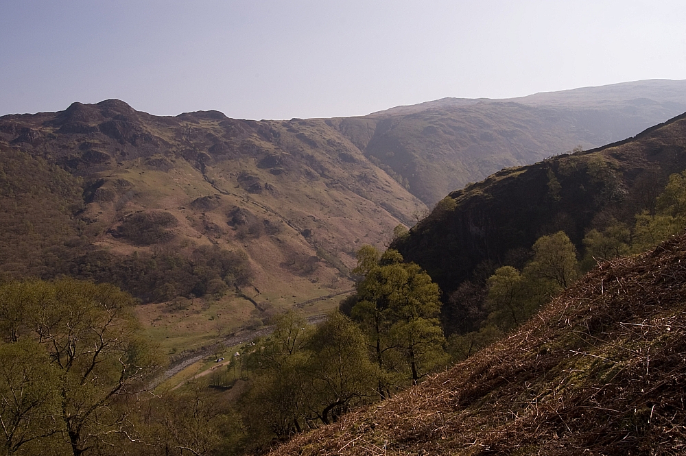
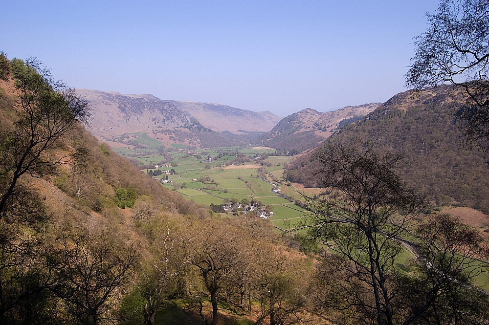
Looking down on Stonethwaite and the Borrowdale valley


After another pit-stop at the "very awkward stile" and another after the wall-crossing, we reached the open fell and made our way along the track to find a suitable place for lunch. By then the sun was beating down with some ferocity and the SPF50 had to be wielded:


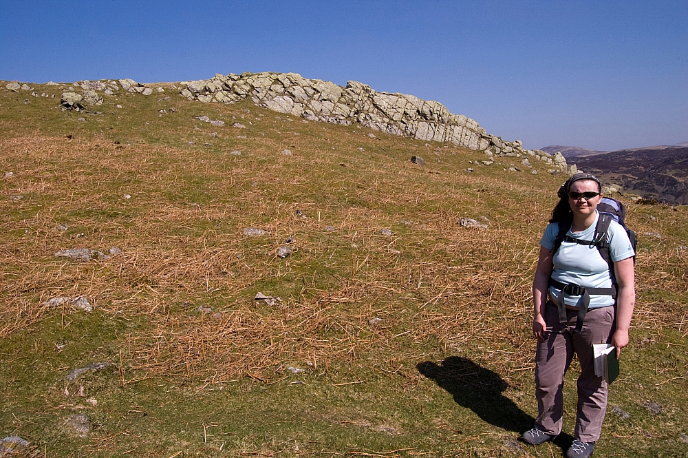
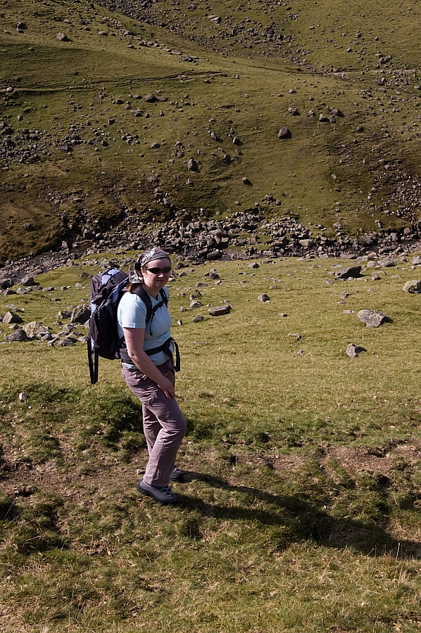
Chris poses for scale


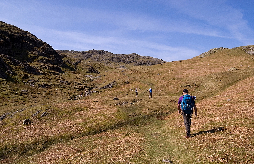
In search of a place for lunch


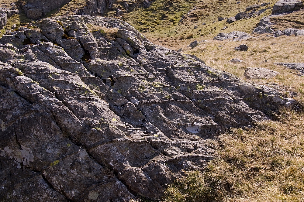
Curiously-weathered mineral veins


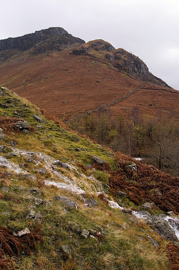
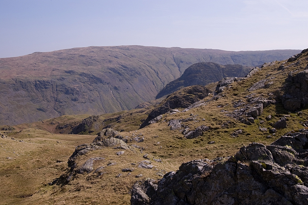
A peek at Eagle Crag


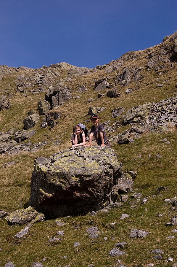
After lunch we crossed the marsh that is the standing source of Big Stanger Gill and made our way around to the perched boulder which marks the start of the easy short pull up to Bessyboot, the summit of Rosthwaite Fell. As you can see, Millie was quite chuffed to have reached her first ever Wainwright summit, so chuffed that I had to take two pics:


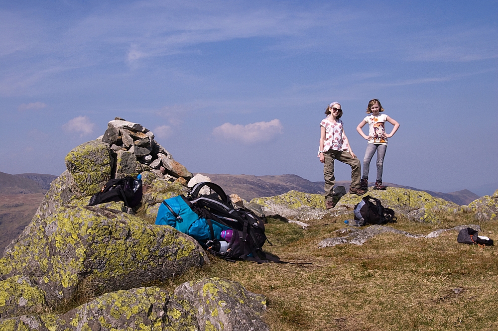
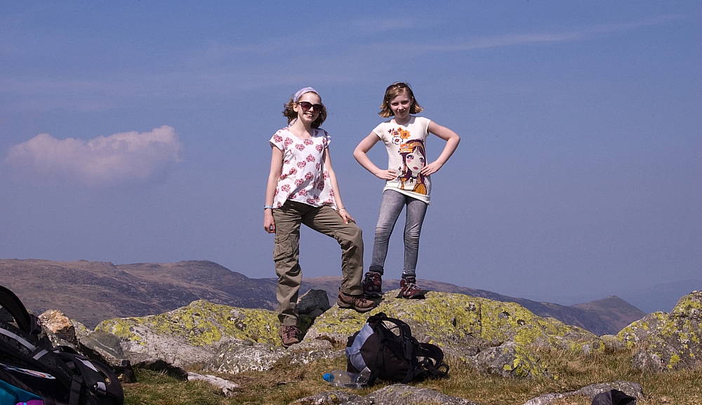
Millie and Anna atop Bessyboot


Ditto


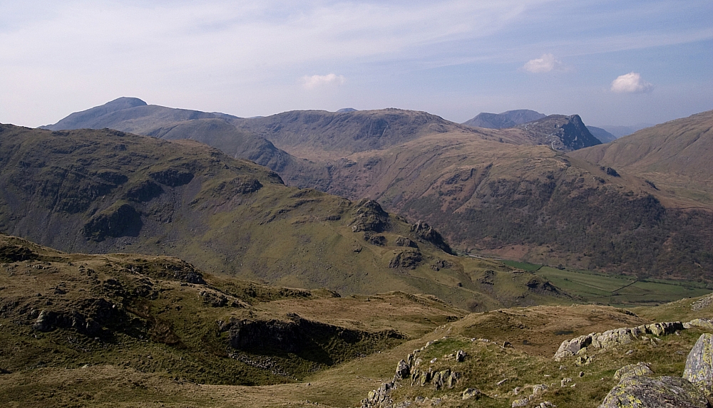
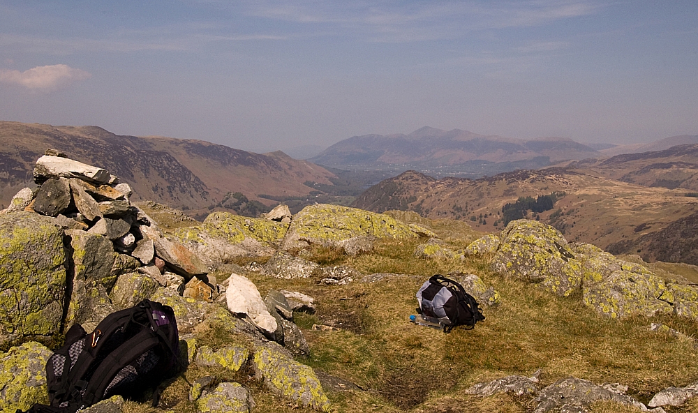
Although Bessyboot is a low summit, it has great views of  the surrounding fells:


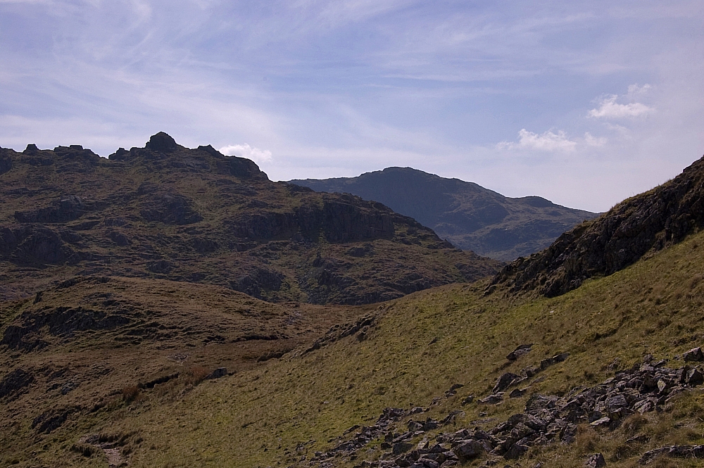
The two Gables, Base Brown, Brandreth, Grey Knotts and Fleetwith Pike


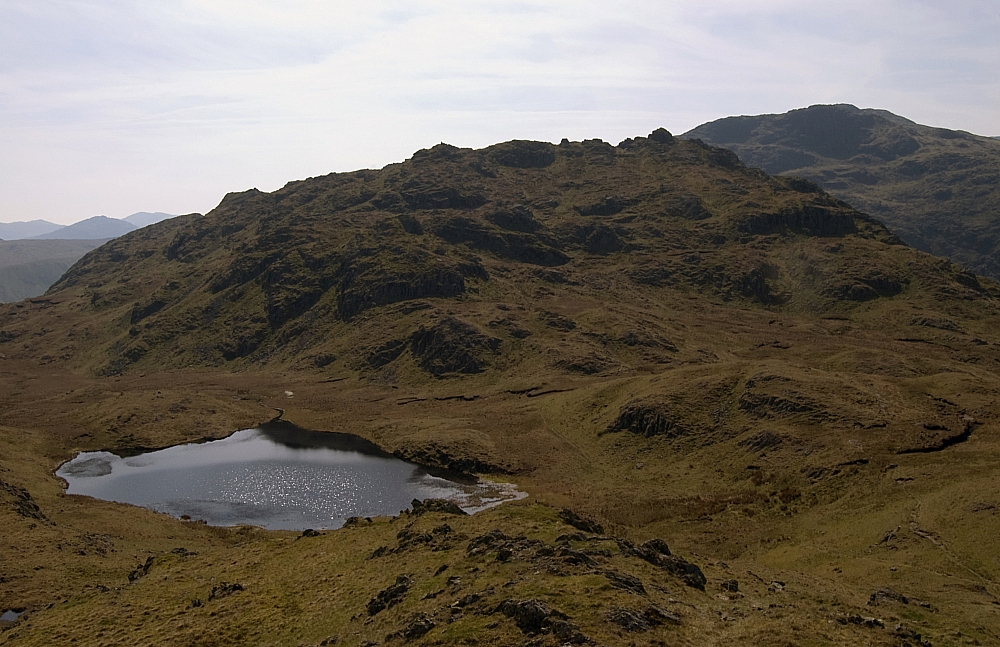
Tarn at Leaves, Rosthwaite Cam and Glaramara


The Skiddaw Group in the distant haze


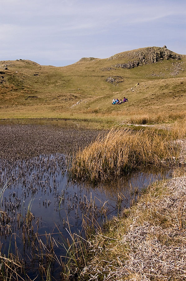
We left the top and went down to the waterside to catch some rays or to dip toes in the cool clear water. Wainwright says "Tarn at Leaves has a lovely name but no other appeal". I beg to differ - it's a fine place, a wildcamper's delight:


Tarnside


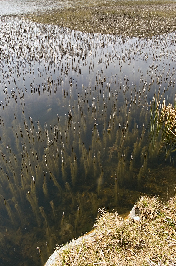
Reeds and weeds


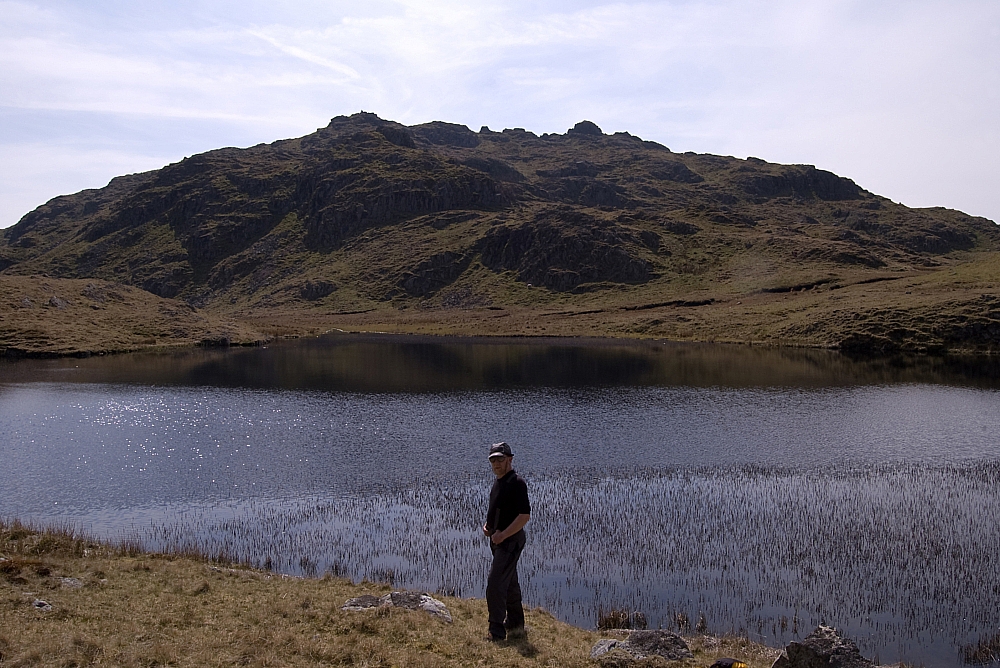
Muggins spoiling the view of the crags around Rosthwaite Cam
Anna took this pic


Anna and Millie after the toe-dipping


Offers to nip up to the Cam for a look-see were declined, so we shouldered the packs again and made off for the track down to Combe Gill.


Rosthwaite Cam and Glaramara again


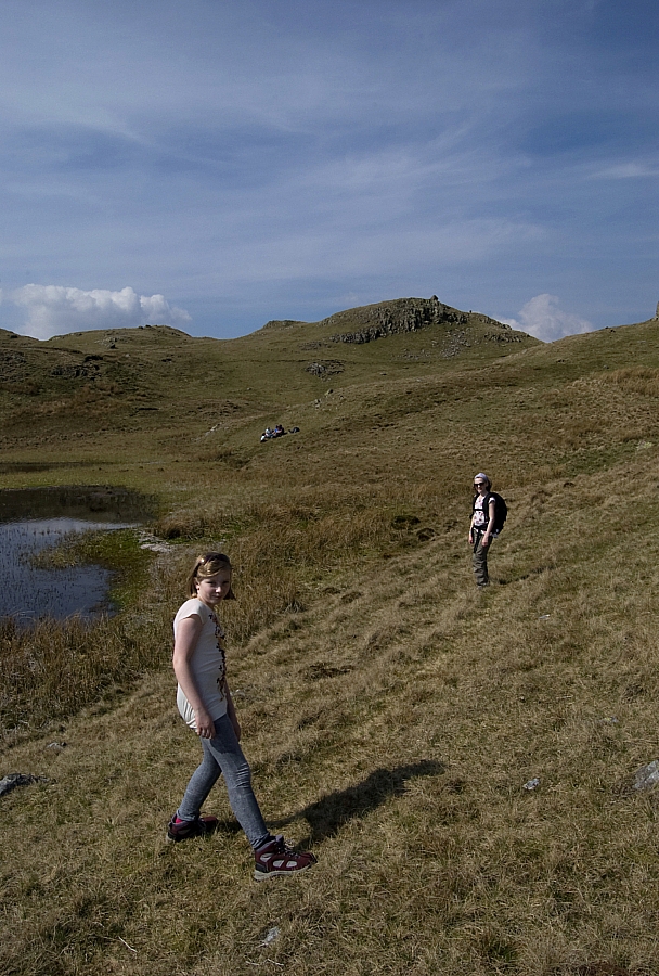
We had intended to intercept the OS's green-dashed path but it turned out to be a map-maker's flight of fancy. Before long we were going down a worryingly steep grassy and craggy slope on the north side of Dry Gill. Some of the party found this section unpleasant, but our pathfinders were enjoying themselves:


Pathfinders


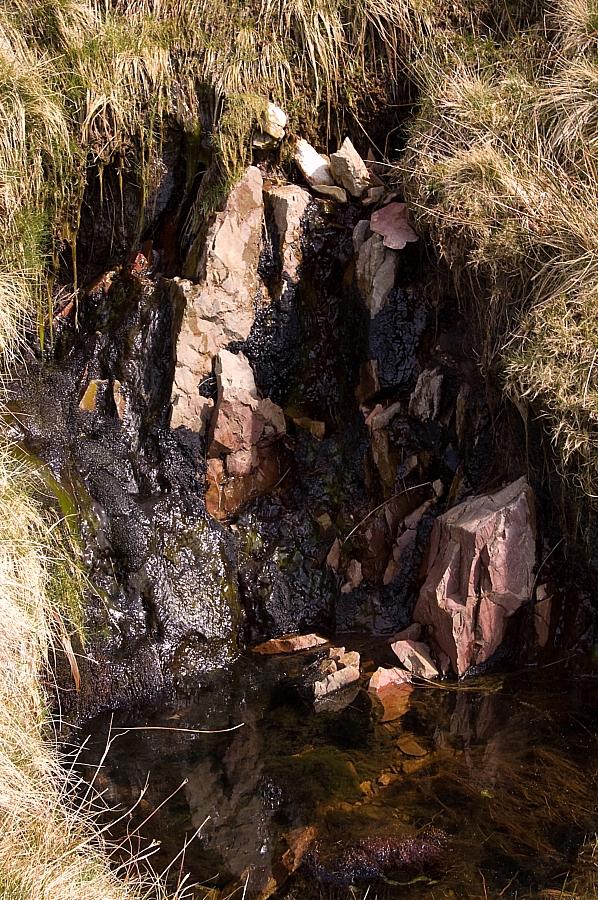
Anna found and photographed some interesting pink rocks in Dry Gill. Not sure what they are but they're different to the other rocks outcropping thereabouts. I suppose I'll have to dig out the BGS map of the area to find out what they are:


Pink rocks in Dry Gill


One more view of Rosthwaite Cam and Glaramara


Eventually we crossed Dry Gill to easier ground and found a fair track that's not marked on the map:


Descending on the south side of Dry Gill, with a great view before us


Chris nearing Combe Gill


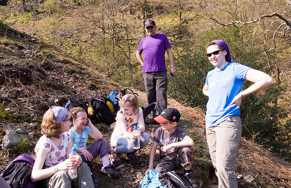
After crossing Combe Gill we had a breather. The kids amused themselves by throwing stones from our pathside perch to the gill below, with no other folk about we thought it was a bit of harmless fun until Anna accidentally let one go vertically instead of across and down. With no idea where it would land, we just hunkered down and hoped for the best. After what seemed ages, there was a loud thud and a shower of gravel in the small area around which we were sitting. Lucky, eh? The ensuing rollocking echoed around the fellside but we all saw the funny side of it and a course of proper stone-throwing was instigated.

From there it was a simple but delightful walk back to the hostel via Mountain View, over Folly Bridge and along the short via ferrata riverside chain-walk section just as we entered the hostel grounds.

After we'd got ourselves showered and changed we booked in for a superb meal at the hostel and chilled for the rest of the evening before turning in early again to get some rest in preparation for the expected rigours of the next day.

To be continued...

A few days at Borrowdale – Part 1 – Tuesday drive-in

Posted by on April 23rd 2011 in Great Escapes, Lakes Escapes, YHA

This was our third trip away with our hostelling friends. Another bargain break, courtesy of Tesco Clubcard tokens and YHA Borrowdale.

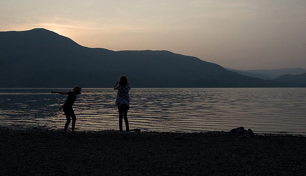
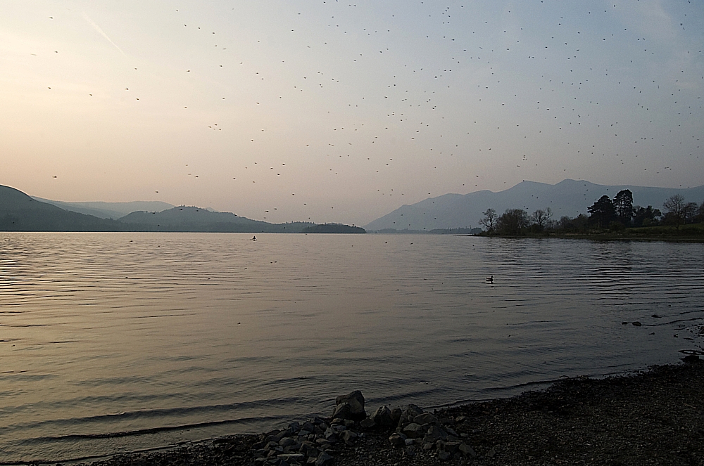
The Tuesday journey up the standard A5/M6 route was again trouble-free, apart from a minor diversion near the start-point. Breaking with tradition, we bypassed the Little Chef at Ings and pulled in at Windermere for an excellent late-afternoon meal at The Elleray. After a couple of hours there we pushed on to Borrowdale, stopping for a while at Derwentwater's Cat Gill car-park to give the kids a chance to play at the waterside. Apologies for the speckly pics - this time it's not down to sensor-dust or grubby lenses, it's a midge thing...


Cat Bells and Kids


Towards Skiddaw


A few minutes of driving later and we were at the hostel. After decanting from car to room we spent part of the evening chilling out in the hostel grounds bird- and bat-spotting beside the river, then we retired to the lounge for chats, brews and route-planning before turning in for an early night.

To be continued...

Gorrout

Posted by on April 23rd 2011 in Celebrations, Great Escapes, YHA

We're back from a few magnificent days based in Borrowdale. Three almost totally cloudless days, two great walks and one fellwalking newbie thrown in at the deep tall end. Top stuff!

Needless to say, there'll be words and pics to follow in good time.

Hope you're enjoying St. George's Day - we are, and so are my blog-stats, which are showing the annual huge visitor-spike due to that flag post.

Doing a one-eighty-one?

Posted by on November 20th 2009 in Great Escapes, Health, or lack thereof, Lakes Escapes, YHA

I'd had an early night so I was awake well before breakfast. I got up and looked out of the window - good, it wasn't raining. Grabbing the map, I mulled over the options for a three-hour walk... Rosthwaite Fell was just over the road, I've never been up there so it seemed ideal. The hostel warden had said it was OK to leave the motor in their car-park after checking out as long as it wasn't an overnight thing, so there was no need to drive-and-hike.

After washing and dressing I got the pack ready and headed for the stairs down to the kitchen, being in need of a cuppa before breakfast, but there was a problem. I'd been walking about just fine on the flat, but the knee that I twisted the day before while descending the Lining Crag cascade just didn't want to go down any steps - it was most peculiar and most painful, although there was no visible damage. After I'd hobbled down, it was fine on the flat again, and after another good three-course hostel breakfast I went back upstairs to the dorm and all seemed OK, so I collected my gear to take it out to the car. Yes, you guessed it - the stairs beat it again.

So that was the day scuppered. Going up and along would be OK, but descending would be a nightmare and I didn't want to risk making things worse.  Ibuprofen would kill the pain but it wouldn't make the knee work, so I packed the car, said my goodbyes and started headed home, just as the heavens opened again. I was annoyed to the point of distraction, and didn't even yield to the temptations of the Ambleside gear-shops.

Suffice to say that it's all fixed now - just a couple of days of rest and the knee seems to be fighting-fit again. Even so, I'll give it a couple of weeks before I take it to the fells, just to be sure that all's well.

One-eighty-one can wait for a bit longer. How much longer depends on my injury/Wainwright ratio, which has been pretty dire this year.

Hopefully the season will end with some decent winter-walking - I can't remember ever falling or slipping in frozen conditions.

Doing a one-eighty

Posted by on November 18th 2009 in Great Escapes, Lakes Escapes, YHA

The usual battle on the M6 didn't happen - the drive up was a sedate and rainless affair, mainly due to those excellent "average speed" cameras set up along the many miles of carriageway-widening scheme works which aims to provide us with four lanes each way by first cutting us down to two. Borrowdale YHA was reached at a reasonable time, and I got the pick of the bunks in the dorm - needless to say, I nabbed the one by the radiator. While I was sorting the gear the rain started and became so strong that I decided to stay in the hostel for the evening meal instead of paddling to the nearest bar. This turned out to be a shrewd move, as the three-course hostel fare was excellent, the lamb hot-pot being the best I've had for a long time.

After an evening of chilling and route-planning, I'd decided that the objective for Saturday would be Ullscarf via Greenup Edge, with the option of doing a one-eighty and extending the route to include High Raise if time and conditions were favourable. I packed the kit accordingly and hit the sack early.

Next morning I was up bright and early. The rain had stopped and things were looking good. After a hearty three-course YHA breakfast I donned the pack and ventured outside, just as the rain started again.
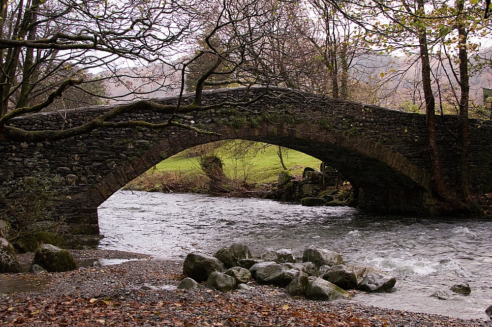
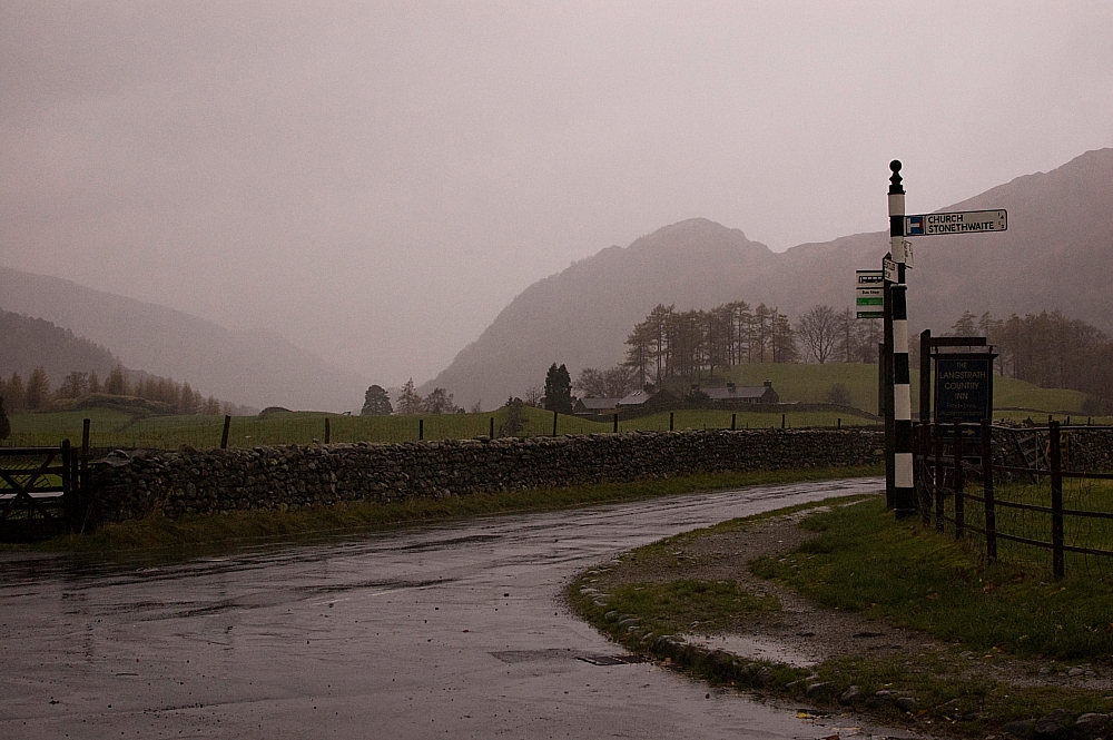


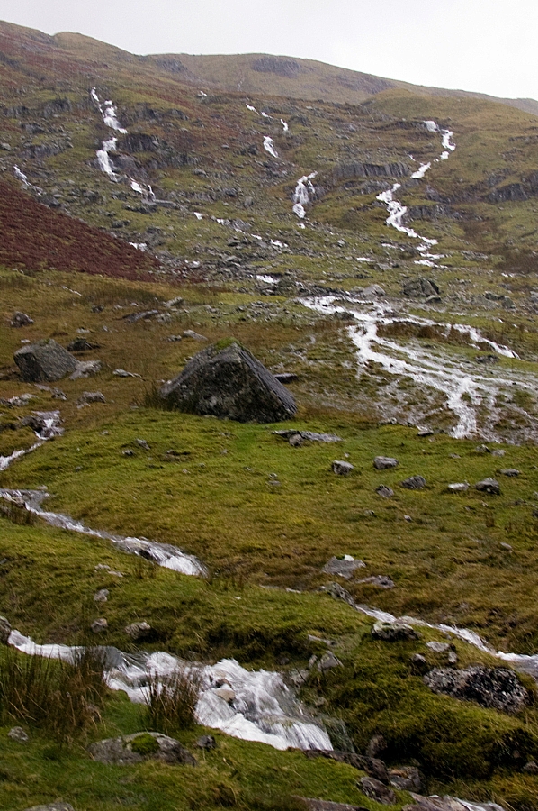
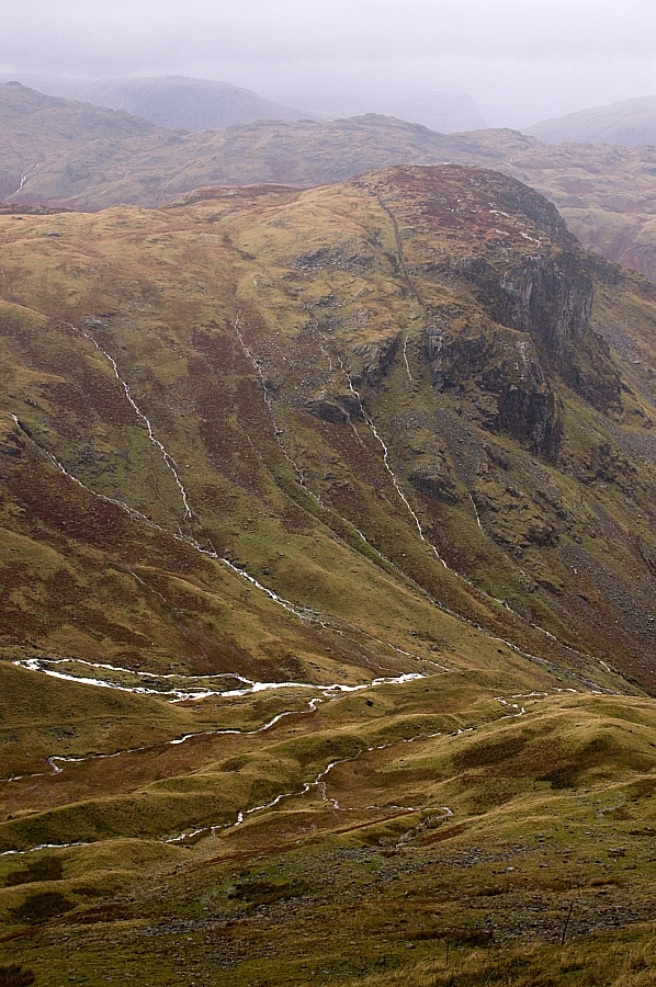
The walk through Stonethwaite, across the bridge and up Stonethwaite Beck, was sodden underfoot but for that first half-hour I was comfy using the Rab VR Climb as defence against upper-body wetness. It all changed as I passed Galleny Force, however, as the gods put the weather-machine into overdrive. The rain suddenly got much heavier and an evil wind started chucking it down the valley. As predicted, the Rab Corrie jacket had to be wielded in anger for the first time. I've never seen so much water running down the fellsides...
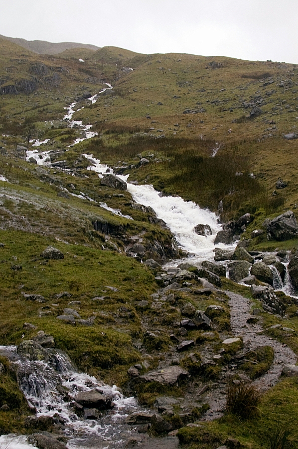
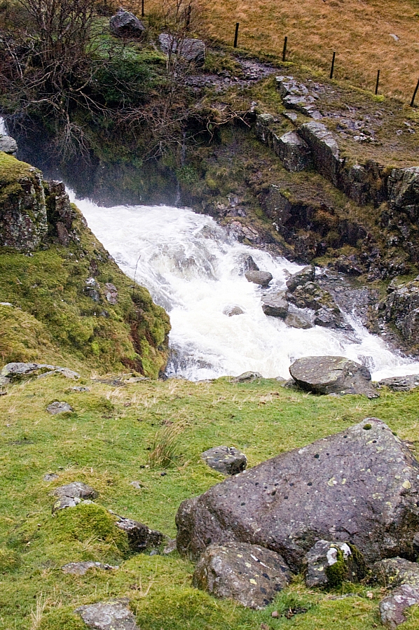


The run-off had submerged the path in many places, which meant that crossings were dodgy affairs, not so much because of the depths but more because of the force of the water. I waded the worst of the crossings as I slogged up the Greenup Gill path as far as the confluence of Greenhow and Mere Gills but there I found the water impassable without both danger and loss of dignity. After heading upslope alongside one of the two Mere Gill tributaries and finding no better options for crossing, I decided that my best option would be to change the plan and attack the fell directly, rather than via the Edge. It didn't look too steep on the map - just a few bits of 45 degree stuff, easy to zig-zag. So up I went.

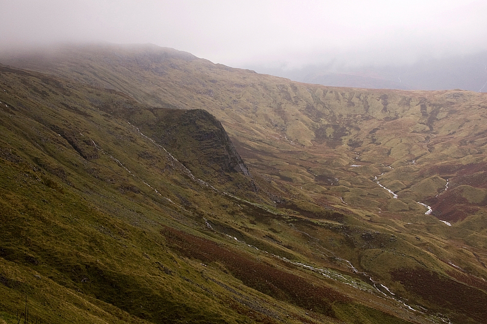
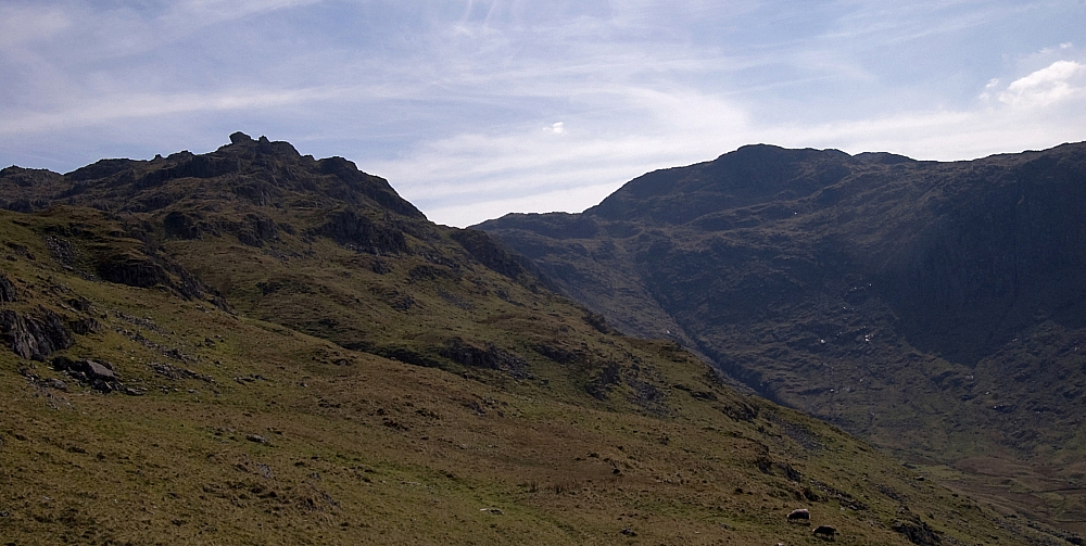
Well, it was a knackering experience, all the better for the ground being slippery enough to ensure that the adrenaline never stopped flowing. I found just one small level place, near the top of the steep stuff, where I dared to stop and take some pics. I'm glad that I went up that way though, as it's a great place from where to view the glacial features of the hanging valley and the proper proportions of Lining Crag without it all being distorted by perspective:


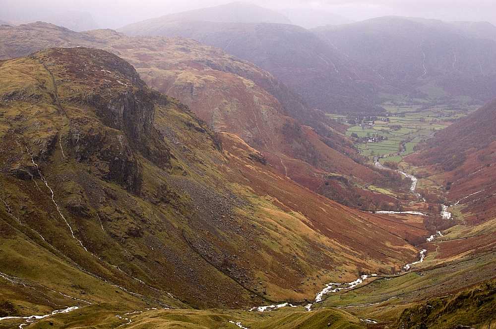
The view down to Eagle Crag and Borrowdale wasn't too bad either:


From there on it was a marshy trudge to find the ridge's line of wireless fenceposts, which crosses the summit and hence was a good guide in what was now the base of the clouds. After 20 minutes of alternating clarity and wind-whipped clag I found the summit-cairn and stopped to take pics:


Then I did a one-eighty and headed back towards Greenup Edge, into the wind-driven stinging rain and weighing-up in my mind the option of extending to High Raise. Occasionally I could make out the path up there from the Edge, but it was mostly clagged up and didn't look appealing. As I neared the decision-point deep in the flooded marshes atop the Edge it started hailing big-time, which made the decision obvious - a dignified retreat to Lining Crag and a descent from there seemed much the more sensible thing to do. After slopping and wading to the big cairn overlooking the way down to Greenup Gill I found the path and set off to Lining Crag.
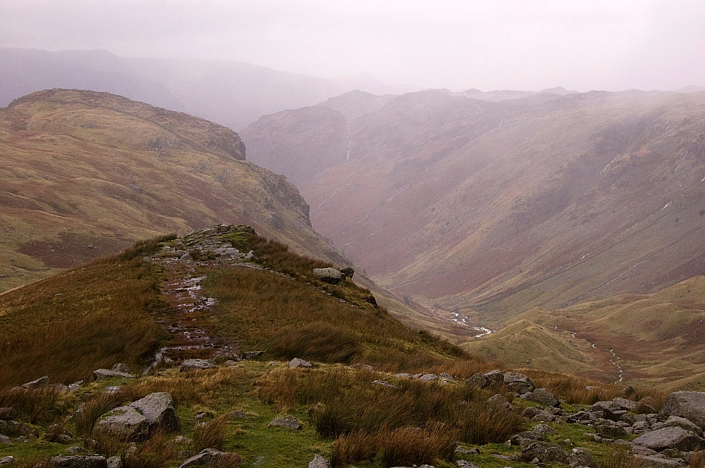


The views from the Crag were impressive during occasional breaks in the cloudbase, and I took some pics, but soon it was time to continue the descent. And that's where it all started to go bad...

There's a made-path down the side, where the crag meets the fellside. It's near-enough a straight-line down at a severe angle and due to the incessant rain it had become a cascade (it's the stream that you can see in the first pic of Lining Crag above). The rocks used for the path have been set at a slight angle downslope so that they don't retain water, but that just makes a slip more likely in descent. And that's what happened, several times, straight into the cascade. One particular slip ended in a twisted knee which I thought was going to be a day-wrecker, but it held together quite well and didn't cause any major hassle. By the time I got to the base of the crag, I was utterly soaked and the pack was full of water. Luckily all of the important kit was in roll-top liner-bags.

At the base is a small grassy flat where two couples were having a breather before their attempt to go up the path. They didn't have much of an option as they were practising their "Coast-to-Coast" route, bound for Grasmere via Greenup and Far Easedale, but I'm sure that they thought twice about this section having watched my antics. We chatted for a few minutes, during which I told them about the conditions on the path and up on the Edge. After a few more minutes I left them to it and started off towards the valley just as the rain started to ease.

The descent was uneventful until I got to the stream that had blocked me on the way up. The level had dropped by a couple of feet and I judged it safe to cross,  but I underestimated the force of the water and was swept off the submerged stepping-stones and ended up standing in three feet of white water. It was a very effective way to clean the mud off me boots. Walking further, I grabbed a few more pics in the improving conditions:
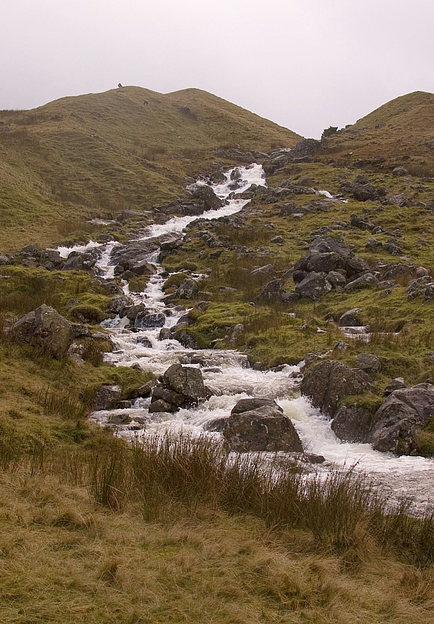
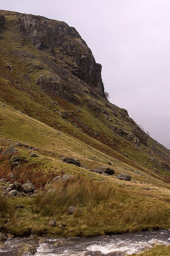


I was beginning to think that I would make it back to the hostel with no further hassle, as the wind had dropped and the rain had stopped, so I paused for a breather at the bridge just above the confluence with Langstrath Beck, where there is a magnificent view of Eagle Crag. My poor camera skills don't do it any justice whatsoever:
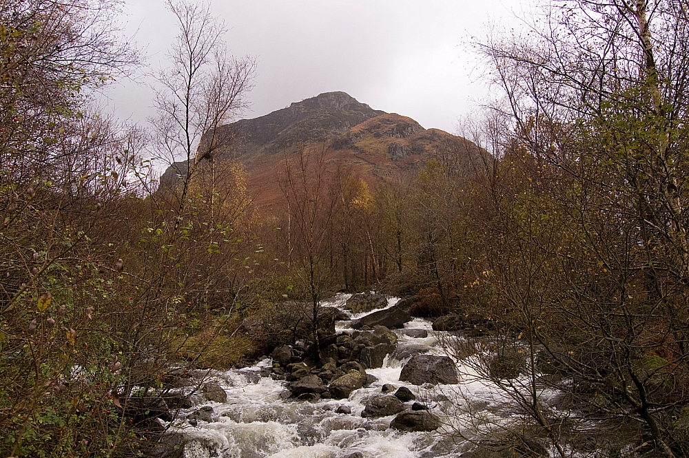
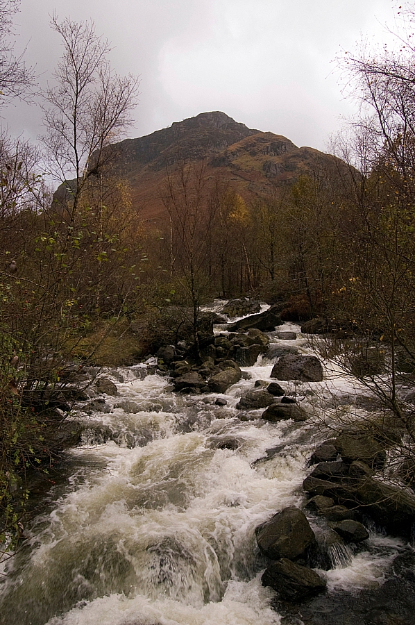


I started back down the easy last few miles just as the weather kicked in for the last time. The wind had done a one-eighty and was now full in the face, and the rain started stinging again.

And did I care?

Not one bit.

I was wet, yes, but I was warm and happy. There was no point in avoiding the streams and flooded paths, so I just waded and splashed through them, just like a big kid. Great fun! Even the livestock seemed to be enjoying the weather:
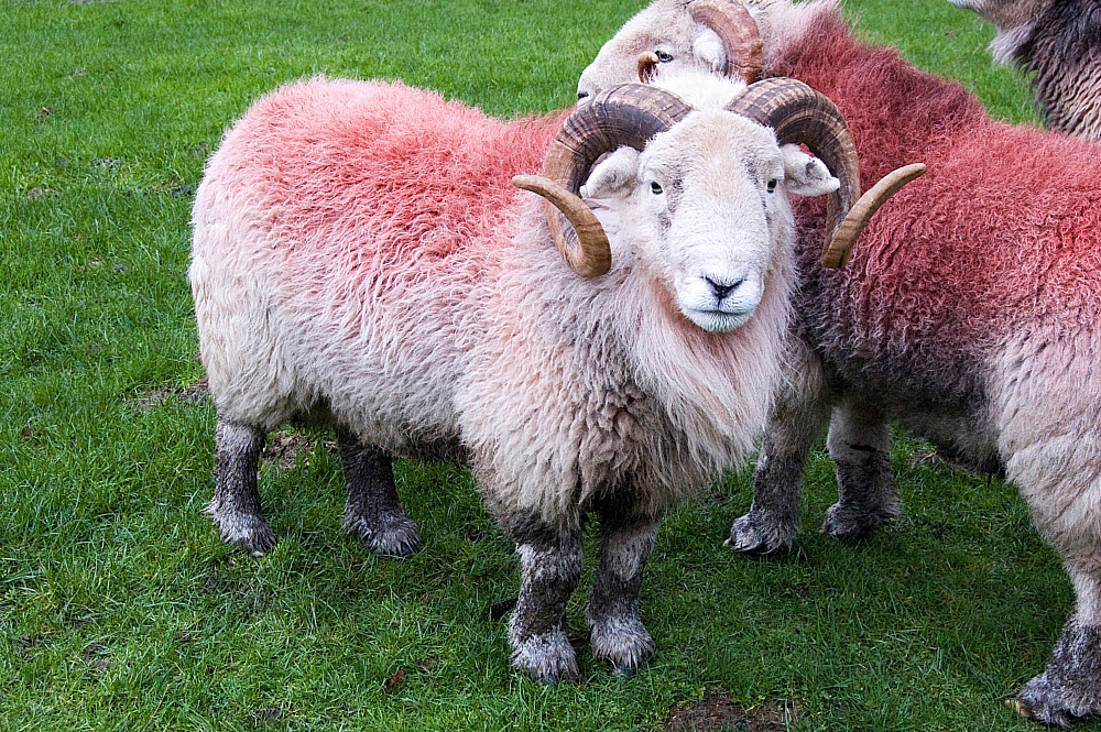
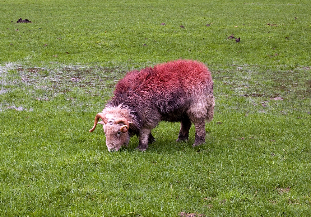


Right at the end of the walk I dragged the camera out again for a few more pics before the light failed. The views from the hostel grounds are quite good - much better than shown in these shots :
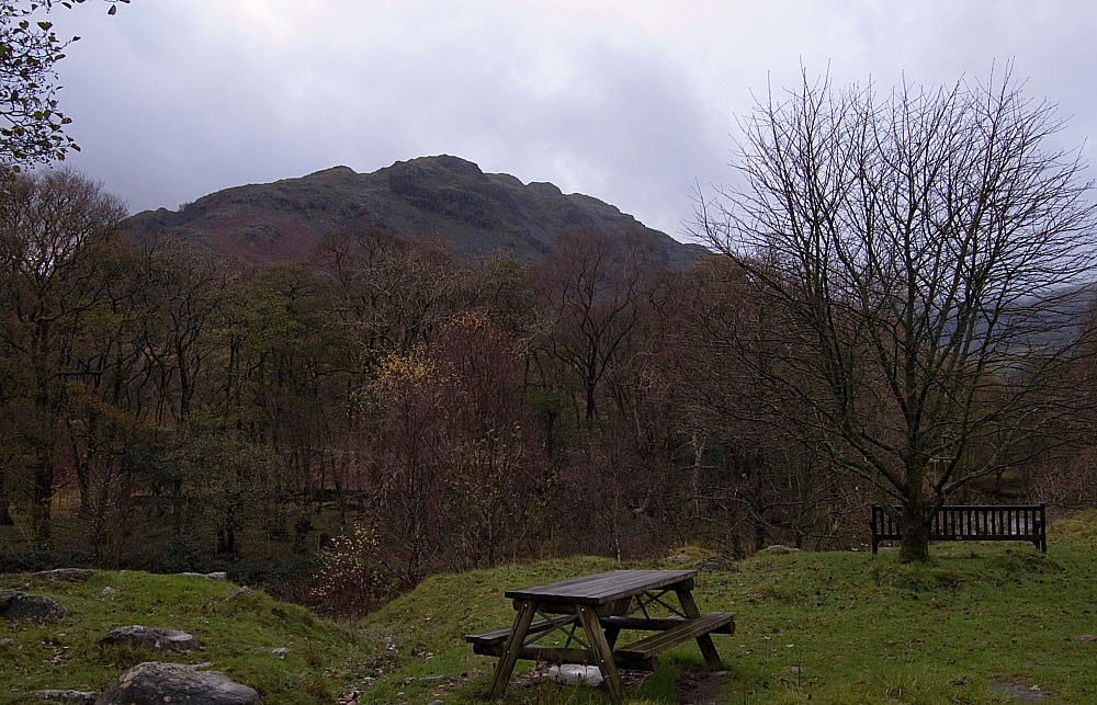
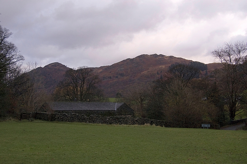


Back at the hostel my gear took up a good chunk of the drying-room. I even had to get the warden to put my camera and lenses in a safe place to dry, as they were wet through. Later, while sat in front of the open fire, I put a tick against Ullscarf on my Wainwrights list and then double-checked the total number visited so far.
The number?

One-eighty, of course.

To be continued...

.