I'd started out a couple of hours earlier than usual which meant that I had time to call in at Windermere to do a bit of Christmas shopping. While walking the town I got quite a shock when I saw that the shop-front of The Outdoor Warehouse was plastered with "Closing Down" and "Sale" banners. Despite my solemn oath to stay out of such places, I had to go in and find out what the story was. Turns out that they're closing down the shop early in the New Year but they're going to continue as an online retailer. I suppose it's a good move financially, but it does mean that there'll be one less place to actually get hands on quality kit before deciding about buying it. If you're in the market for some seriously-reduced gear, I'd recommend a look in there before it's too late. They had a good selection of half-price down-filled jackets on display, including much stuff that's not on their website.
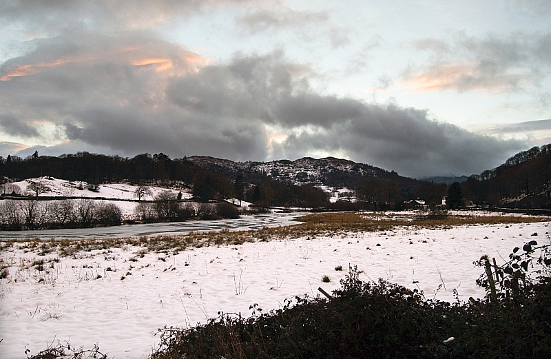
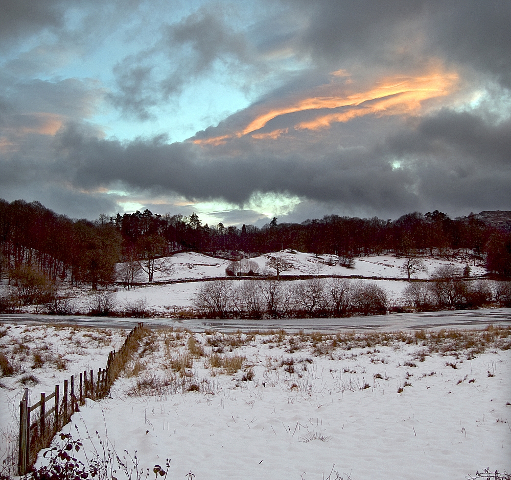
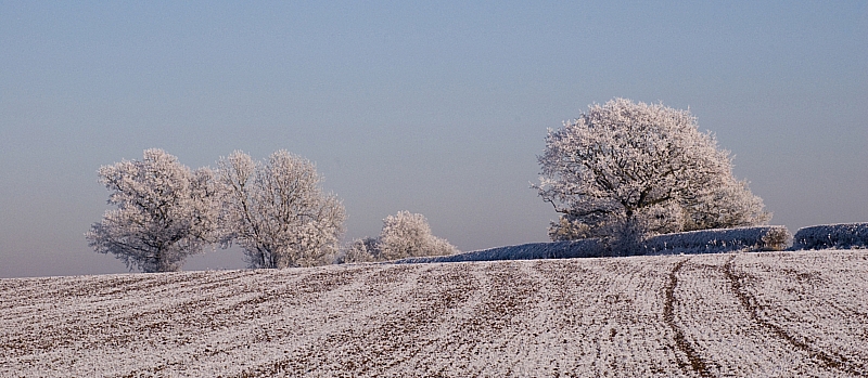
After that I made my way to Coniston, stopping occasionally to take pics from the roadside:
Looking towards Skelwith Fold and Black Crag
I arrived at YHA Coniston Holly How mid-afternoon, took my gear in, made a brew and sat reading in the lounge. After a while Frank arrived with the news that Mike was ill and wouldn't be arriving on Saturday morning as per his original intention. As we already knew that the other two invited folk couldn't attend, we went to The Crown ASAP and planned accordingly. It wasn't going to be a weekend of serious snow-play - temperatures were on the rise and a thaw had set in. Frank's prime objective was to climb an in-condition gully, I wanted to bag a few "undone" Wainwrights and christen my snooshows, neither of us would get what we wanted. Over a fine pub-meal we played with the options before heading back and bunking down for the night.
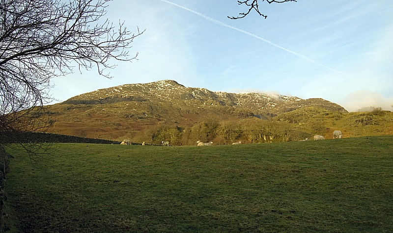
Bright and early next morning we were up, breakfasted and parked up in the quarry car-park on the Walna Scar Road below Timley Knott. The sun was out and there was hardly any snow visible on The Old Man of Coniston:
The Old Man
After seeing the conditions, it was obvious that crampons and axes wouldn't be required and that there was no chance of a gully-climb. We lightened our packs and headed North with the intention of taking the popular quarry-path to The Old Man's summit. There were plenty of photo-opportunities on the way up:
Panorama - The Old Man to The Yewdale Fells
Looking back to the quarry car-park
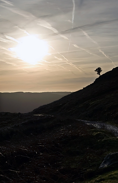
A lonely tree overlooks the path
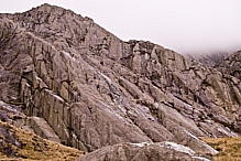
The Old Man - gnarled, craggy and weathered
The mountain also looks like that
🙂
YHA Coniston Coppermines from The Bell
Another look back to the quarry car-park
Quarries below Sweeten Crag
At the crossroads we turned left and headed up the track towards Low Water. There was evidence that others had been this way before us:
We never found the matching Therm-a-Rest 🙂
We paused for a cuppa at a convenient place and went off to investigate the relics of a long-gone industry:
Quarry buildings
More quarry buildings
How are the mighty fallen
Inside one of the quarries
A short while later we were on the track above a thawing Low Water. One look at the gullies justified our decision to leave the pointy metalwork in the car:
Low Water
Low Water again
From there it was a short pull up snow-filled tracks and crag towards the busy summit. There were more photo-opportunities:
The final stretch
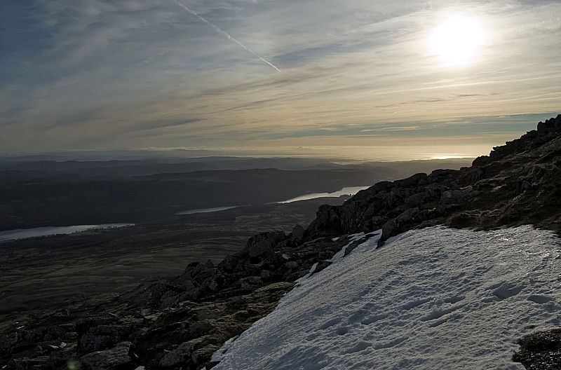
Coniston Water and distant clouds over North Wales
The summit was a busy place so I wandered off to take some pics while Frank took shelter for a snack-break. There was much to see:
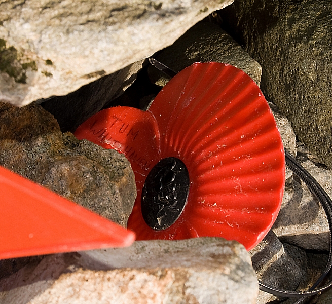
There were poppies tucked into the cairn - poignant reminders of folk that no longer walk these fells
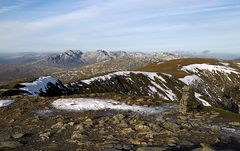
Looking towards the Scafell range
An old survey mark carved into a rock in the plinth of the cairn.
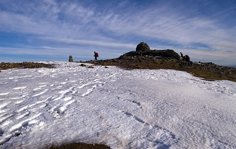
The trig-column and the summit cairn
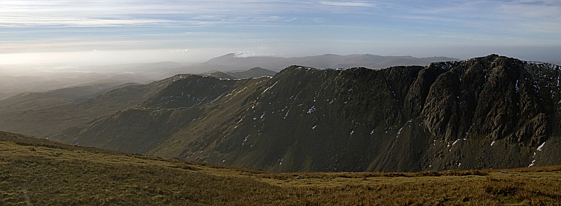
The Dow Crag ridge
From there, we headed off towards Brim Fell. Here's me, pausing during the easy stroll:
Still refusing to wear a hat despite the lack of natural insulation up-top
Looking back at The Old Man from Brim Fell summit
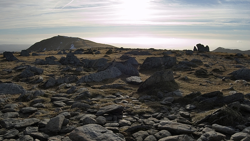
Brim Fell cairn and another view of the Scafell range
From there we headed down to a snowy and busy Goat's Hawse:
Goat's Water
We paused alongside Goat's Water for a while, there was much to see, do and discuss:
Dow Crag's magnificent rocky architecture
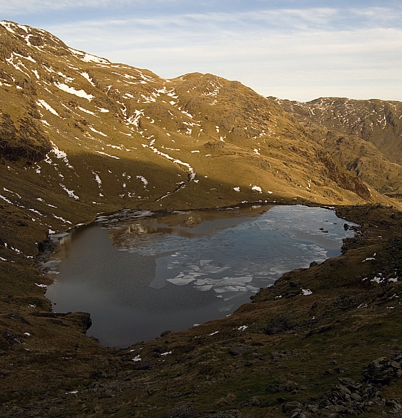
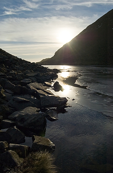
Ice on Goat's Water
Impact on ice on Goat's Water
Light on ice, water and rock
From there it was a simple walk back to the car. We discussed much on the way down, not least the fact that the absent Mike was supposed to be providing a hearty chilli for the evening meal. Frank's selection of cheeses and my Chicken Tikka bites with Tempura Prawns weren't going to be enough...
After we'd got ourselves sorted at the hostel we headed off to the village shop in search of ingredients. Fish, rice and onions were liberated from the Co-op. The fish needed time to defrost so we took it into a warm pub for an hour or so, as you do. After suitable rehydration we went back to the hostel to concoct our evening meal - the prawns made a decent starter, Frank's rice, fish and chicken dish was good and the bread-pudding with custard and caramel was indeed as stodgy and filling as ever. The bottle of red went down well too while we set the world to rights before turning in for the night.
To be continued...

