Archive for the 'Annual Wildie' Category
Far Eastern Fells Wildcamping – the pics are up
Far Eastern Fells Wildcamping – Day 3 – A fine finish
We were awake at 07:00 and packed up by 08:00, ready for the last leg of the walk. The weather was still in our favour - overcast but warm with a slight breeze.
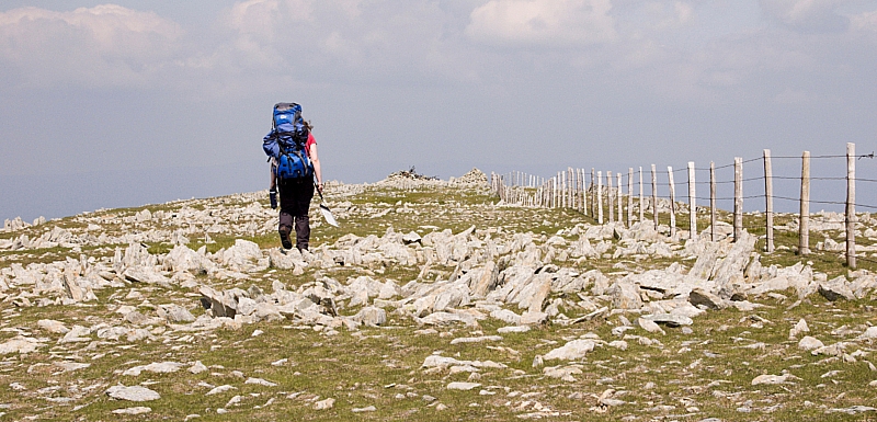
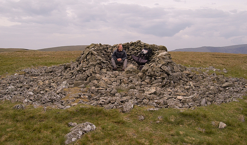
We strolled up onto the nearest high ground (a low mound just to the side of the dry tarn) and made a beeline from there to Selside Pike. The walk was uneventful and quiet except for the racket made by a flock of seagulls that we had to walk past as we crossed Captain Whelter Bog. We made it to the summit shelter by 08:50, took a few pics and chose a route down to lower ground.
Selside Pike shelter
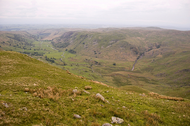
Our chosen route took us down over High Blake Dodd and Selside End, allowing us to get a great view of Swindale.
Swindale
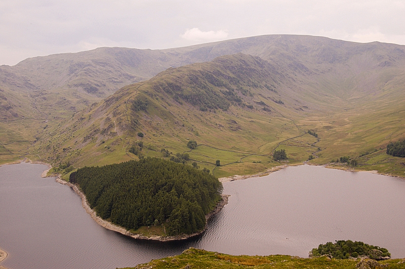
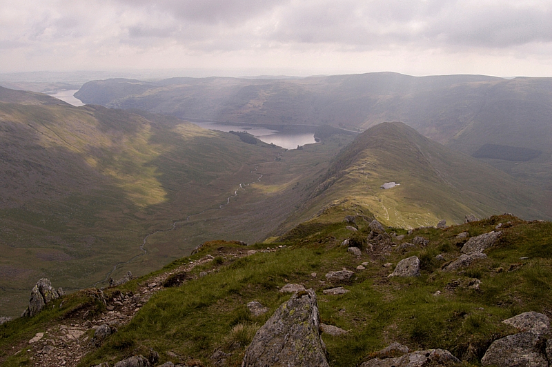
We joined the Old Corpse Road at the highest point and headed off towards Haweswater. Unlike a lot of walk-offs where the best of the scenery is usually behind you, this path leads back into the heart of Mardale Head, with an end-on view of the Long Stile ridge, so the view in front gets better with every step. There's great satisfaction in looking at the circuit of high peaks surrounding the head of the valley and thinking "we've just been up all of those". The view really opens up at High Loup, where we took some pics and a short rest. The abandoned buildings here, high on the fellside, would make a good bivvy spot.
Mardale Head panorama from High Loup
Long Stile, Rough Crag and The Rigg from High Loup
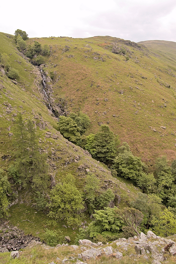
We then descended the path which goes down in steep zig-zags, passing some fine waterfalls in wooded ravines, before reaching the road right opposite The Rigg, which is the wooded terminus of the Long Stile/Rough Crag ridge.
Waterfalls in Hopgill Beck
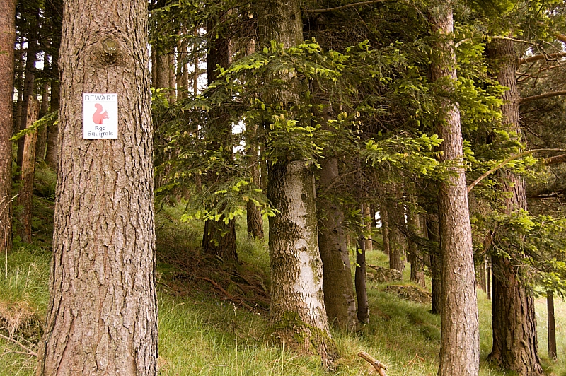
On reaching the road there was a choice of routes back to the car-park: along the road, or along the lakeside path. We chose to take the road, having done enough steep descending for one morning. Little did we know that we would have to pass perilously close to the lair of the local hoodlums...
BEWARE!
After that, the route was without danger and we made it back to the car unscathed. We had a quick change of clothes, a snack and a chat with some anglers and walkers in the car-park, then we were off to find somewhere for lunch just as the first rain of the weekend started. Excellent timing, eh?
The journey back down the M6 was as bad as the journey up had been good. There were hold-ups at almost every major junction, and two lanes were blocked by an accident near J13, snarling up the traffic right back to J15 and beyond, so we bailed at J16 instead of the usual J12 and took a cross-country route. In the end it took a shade over 7 hours to do the 195 miles back home.
Expect a post-trip analysis soon...
Far Eastern Fells Wildcamping – Day 2 – Ups and downs
We woke at 04:30 but it wasn't fully light so we decided to have a lie-in. Well, why not? It was the weekend!
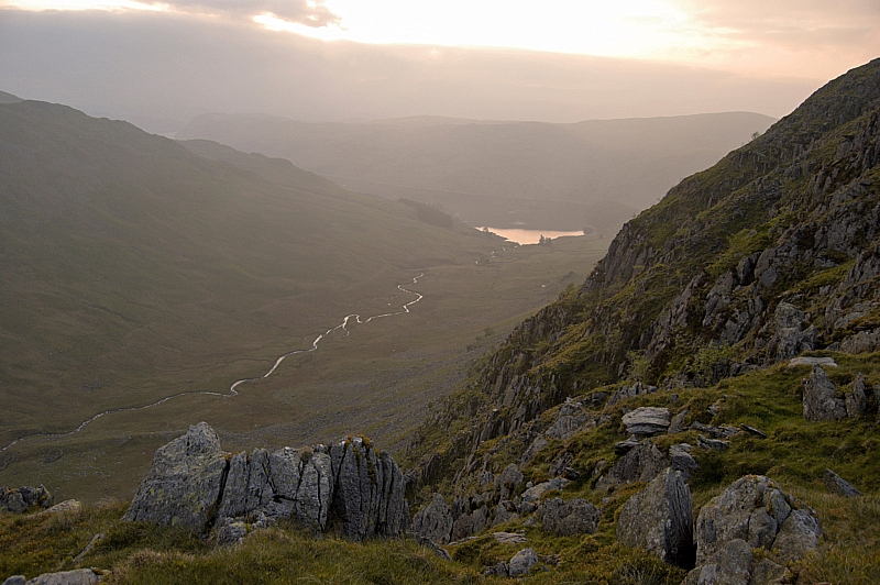
At 05:30 the sun was about to rise above the bank of low cloud far away in the North-East, so we went walkabout among the crags, peering down gullies and taking more pics. The views into and across Riggindale were immense, with the bonus of this being one of the best points of vantage for seeing the shy hanging valley of Sale Pot just beyond Short Stile. Riggindale Beck's twists and meanders glistened in the early light, being visible all the way from the source to the mouth at Haweswater. I could have spent another hour or so at this place, but we needed to be away.
Riggindale from Caspel Gate
Breakfast was a lengthy and leisurely affair - the day promised to be hot and sunny, so we wanted to take in a lot of fluids to cut down on the amount we would need to carry up, knowing that the flat top of High Street would be dry. We managed to cut the carry-up water to 1l each.
We struck camp and finished packing by 09:00 then started up Long Stile towards High Street, pausing now and again to take more pics. We made the summit at 09:40 just as the sun started to make itself felt.
Looking back down Long Stile
Muggins on the High Street plateau
After a few minutes at the top, we headed off towards Mardale Ill Bell, a gentle stroll that took all of 35 minutes, during which time we met a few folk walking up to the High Street plateau. We found a tadpole-infested small pond about 20 yards from the summit of the Bell, it was full of peat-stained water but we trusted our filter-bottles and processed enough for a quick brew. The Jetboil was eyed jealously by the few folk that passed the summit outcrop, comments like "I see you've got the kettle on" were met with offers of a free cuppa but there were no takers. Oh, well, it was their loss, it tasted good!
The Ill Bell Ridge from Mardale Ill Bell summit
Next on the list of objectives was Harter Fell. We were unsure of water availability at the Nan Bield Pass, so we made our stock back up to 2l and made our way down to the shelter in the pass. After a short breather, we carried on up the slope to Harter Fell, partly in shade but mostly in sunshine. Predictably, the small ponds at the top were dry, thus justifying the carrying up of those 2 litres.
The top of Harter Fell
At this point we had to make a decision. We had planned for the option of nipping down to Kentmere Pike and Shipman Knotts before carrying on around the head of Mardale. The sun was now really strong, so we elected to play safe and just go down to the Pike for lunch, and make another decision about the Knotts later, depending on water availability. The walk down to Kentmere Pike was soon done, and the Jetboil was soon steaming away boiling up for food and another brew. I wandered off packless to get a view of the Knotts but decided to leave them for another day.
Kentmere Pike trigpoint
We spent some time sitting in the sun but it was soon time to move on. We trudged back up to Harter Fell, pausing there only for a photo-opportunity, and strode around the Mardale edge of the wide curving ridge to Little Harter Fell before descending to the top of the Gatescarth Pass.
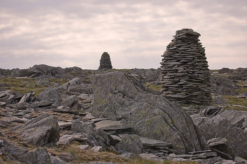
At the pass we were down to 0.5l each, so we had to scout around to find more before going on. With water we would carry on to Branstree, without it we would retire back to the valley. Eventually I found the spring that is the source of Gatescarth Beck, it was a cold and crystal-clear pond, no more than 3ft x 2ft and home to at least one splendid newt. We refilled and started up the dull, steep, straight grassy track next to the boundary fence, knowing that it led directly to the top of the fell. This was the third significant ascent of the day and our legs were really feeling the strain, but we made the top in good time - indeed, we stayed only for some pics, then carried on to the magnificent cairns on Artle Crag, situated in a strange area of naturally-standing rocks.
Cairns on Artle Crag
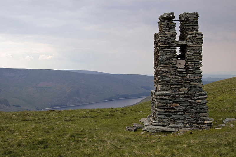
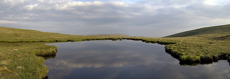
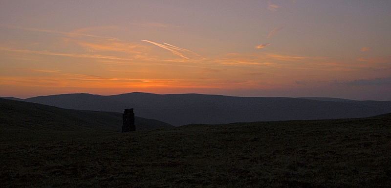
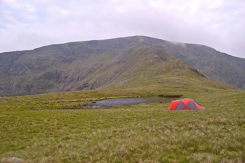
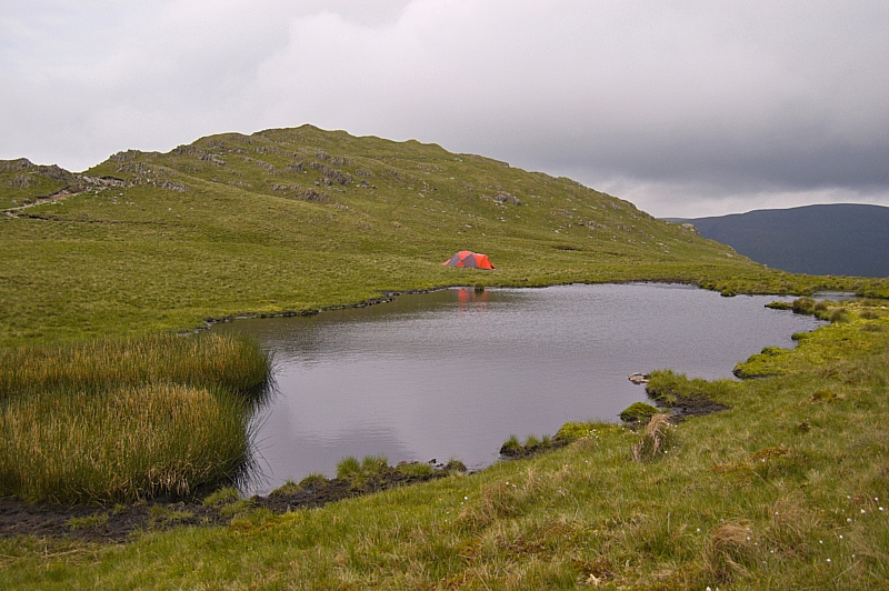
From there we could see our next pitch - the two tarns (one full, the other dry) just beyond the Manchester Corporation Water Works survey post, which we reached at about 17:00. I toyed with the idea of nipping off packless to nab Tarn Crag and Grey Crag but decided that the more-or-less pathless 6km there and back would be too much, so we pitched early so that Chris could get some rest. We spent a leisurely evening waiting for the sun to set the skies alight, but it turned out to be a bit of a let-down - nice, but nothing spectacular.
M.C.W.W. Survey Post
Tarn
Sunset
After a hearty meal and a well-deserved wash, it was time for some shuteye. It had been a tiring day, but well worth the effort.
To be continued...
Far Eastern Fells Wildcamping – Day 1 – Hold-ups and detours
We had a hassle-free drive up the A5 and the M6 to Junction 39, there were none of the usual roadworks to hold us up, so we made good time to Shap. Then it was time to crank up the satnav and head off for the pre-programmed lat/long for Mardale Head. After a few miles we ended up at the end of the road into Swindale, with CoPilot telling us to "take the local road" directly to the head of Haweswater. Well, the only "local road" that goes the right way is the "Old Corpse Road", and that's hardly fit for MTBs, let alone cars, so we ditched the satnav and rerouted using the OS map. The nav error wasn't a complete waste of time, though, as Swindale is a nice place (we'll come back for a proper visit another time) and we saw some wildlife on the way out, including one of the biggest hares I've ever seen. Sadly, it was off before I could get the camera out, so I've no pics of the beast.
Anyway, we were soon belting down the road to Mardale Head but after a mile or so we were halted by a resurfacing crew who told us that we couldn't go further as they had the road blocked between the Haweswater Hotel and the road-end car-park. "Typical", I thought, "we've picked the only week for years when the head of the valley is off-limits", but a friendly chat with their gaffer revealed that they had just run out of tar and so would be going home soon. About 20 minutes later all their plant came back, followed by a string of cars full of disgruntled families.
We soon hauled up in the car-park and, after changing into our walking gear, donned our packs and made for Blea Water, which was our second-choice of pitch for the first night.
Blea Water panorama, Mardale Ill Bell (l) and High Street (r)
It was an easy walk up and we made it to the dam much sooner than we had anticipated, so after a snack-break we decided to head off up the easy grass slope on the right to our first-choice site, Caspel Gate Tarn on the ridge of Long Stile. This turned out to be an excellent place to overnight, there being plenty of level pitches and exhilarating views down each side of the ridge into the adjoining valleys. We would have had plenty of time to get up onto High Street to the third-choice site before dark, but that would have involved carrying up 5 litres of water for a night on the dry top, and neither of us was enthralled at that idea. Besides, I wanted to be at Caspel Gate at dawn to get some photos of the crags in the morning light. High Street could wait until the next day, we were in no rush.
High Street and Long Stile from the Caspel Gate pitch
As we pitched, the broken clouds, which had been just grazing the tops, lifted and thickened a little, which ensured that we would have a mild night. We had the place to ourselves, having seen nobody else at all since leaving the car-park. There was no running water, so we filtered from the tarn, brewed up, had some food then settled in for the night after taking a few photos.
Rough Crag from the Caspel Gate pitch
To be continued...
How wrong can the weather forecasters be?
The forecast for our wildcamping weekend was a point for concern. All of the sources were telling us to expect shed-loads of rain, low temperatures and lightning. I'm happy to report that the forecasts were well wide of the mark. Friday afternoon was warm and sunny, the night was a bit rainy, Saturday started misty but soon cleared to a sunny day with a light breeze. A little overnight rain was soon dried out by glorious sunshine on Sunday morning. Because the forecasts had deterred a lot of walkers, for the main part we had the hills to ourselves. Excellent!
Details of our route are as follows:
-
- Friday: Parked up outside the Police Station at the Glenridding Tourist Information Centre and bought a 48-hour ticket
- Took the steamer "Raven" to Howtown
- Bonscale Pike 1718ft
- Overnight camp next to the Swarth Beck sheepfold
- Saturday: Arthur's Pike 1747 ft
- Loadpot Hill 2201ft
- Wether Hill 2210ft
- High Raise 2634ft
- Rampsgill Head 2581ft
- Kidsty Pike 2560ft
- The Knott 2423ft
- Satura Crag
- Overnight camp on the shore of Angle Tarn
- Sunday: Patterdale via Boardale Hause
- Glenridding via lakeshore and roadside paths
We had intended to go up High Street, Rest Dodd and The Nab, but Chris was struggling with her breathing and we didn't want to risk her having problems with her asthma, so we dropped down and took things easy.
Suffice to say that we had a great time, apart from the tick menace (they were mostly small black beasties about 2mm across, but we saw a few evil-looking brown and red ones that were over 5mm across). We tested out some of our new kit, got sunburn, took far too many photos (over 240), saw lots of wildlife and had fantastic views in all directions.
My tally of "Wainwrights" is now 159 (not counting repeats), which leaves 55 still to do. This keeps me on course for breaking the record for the slowest ever "casual compleation" of the famous 214
I've whittled down the photo-stash to a paltry 82(!) which I'll embed in a handful of posts later. Here are a few to whet the appetite:
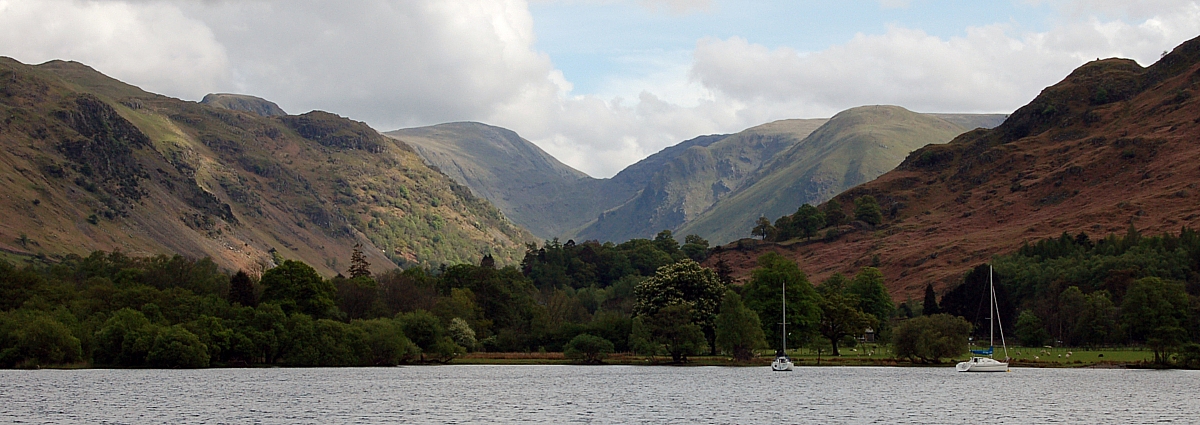
The head of Ullswater
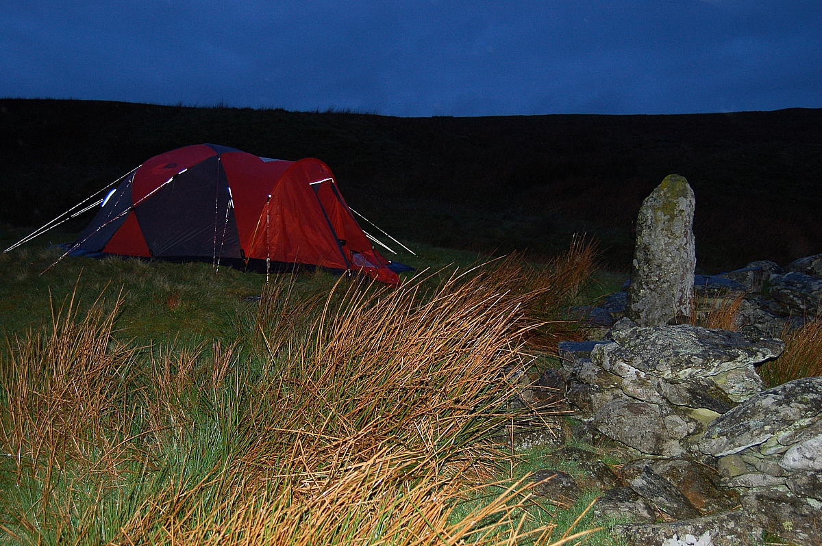
Swarthbeck sheepfold - the pitch for the first night
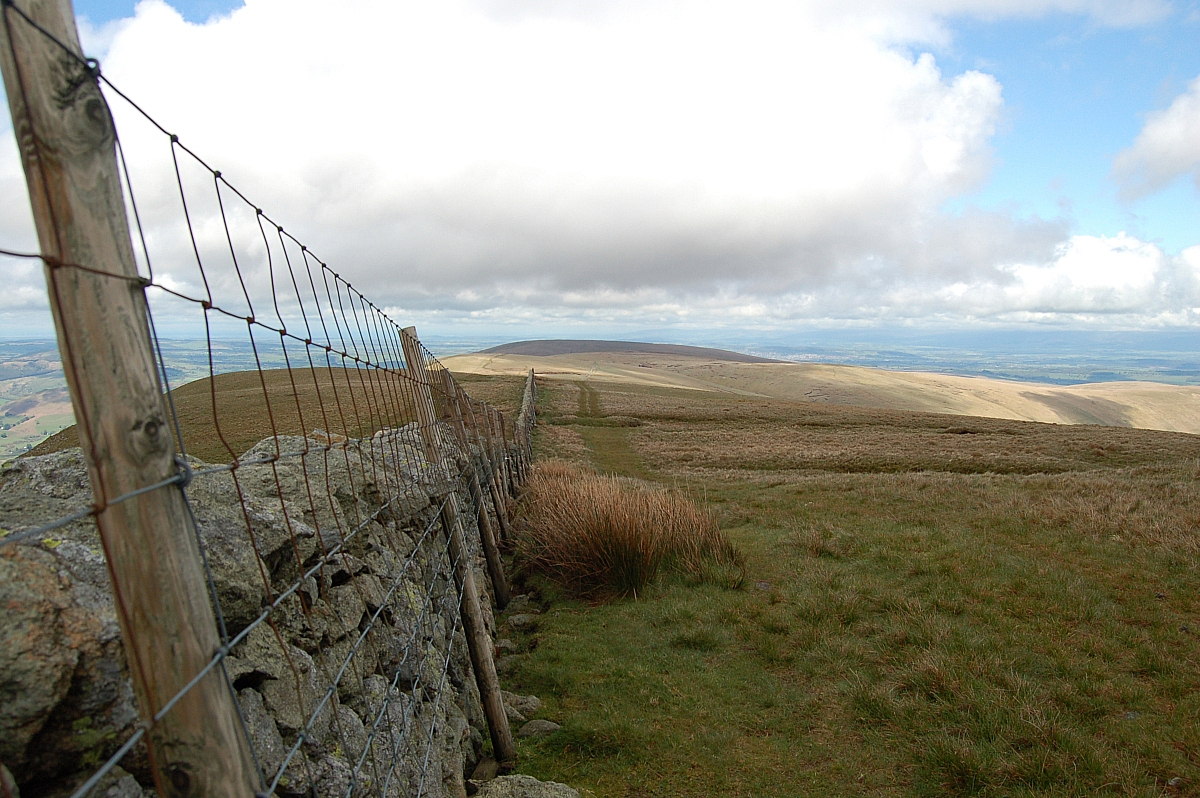
Looking back down the High Street path
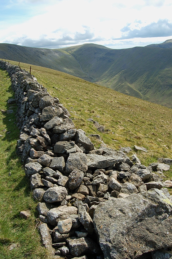
Thornthwaite Crag
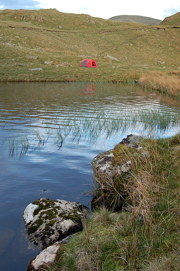
Reeds and rocks at Angle Tarn
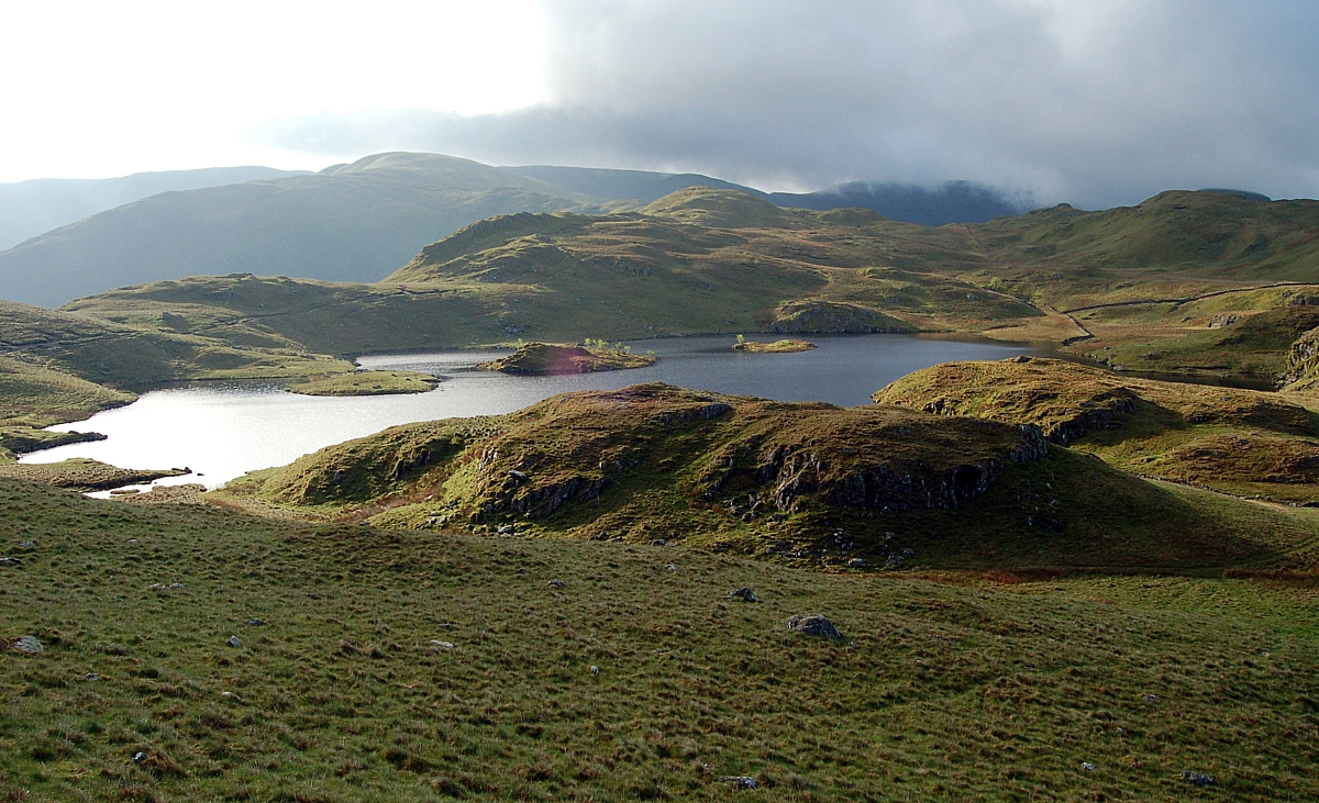
Angle Tarn in the morning light

