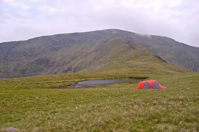
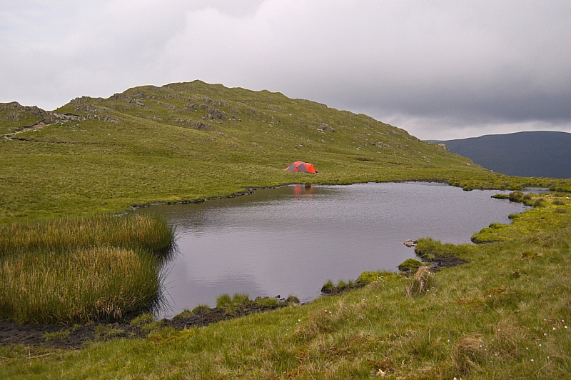
We woke at 04:30 but it wasn't fully light so we decided to have a lie-in. Well, why not? It was the weekend!
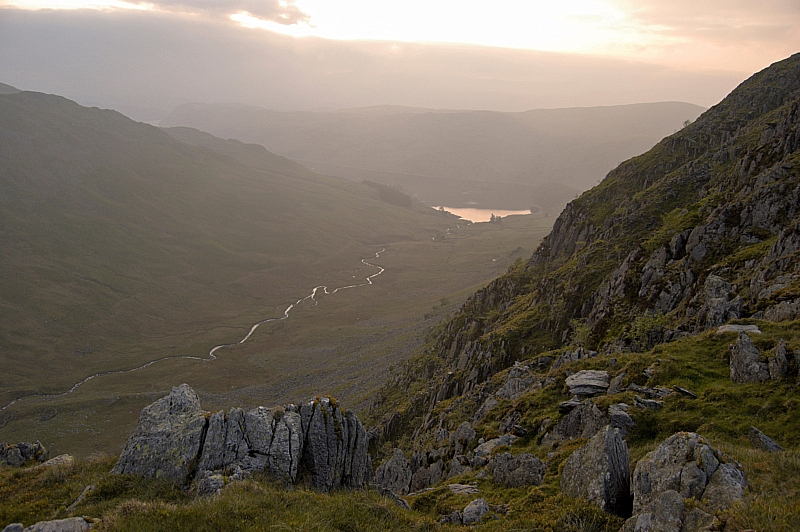
At 05:30 the sun was about to rise above the bank of low cloud far away in the North-East, so we went walkabout among the crags, peering down gullies and taking more pics. The views into and across Riggindale were immense, with the bonus of this being one of the best points of vantage for seeing the shy hanging valley of Sale Pot just beyond Short Stile. Riggindale Beck's twists and meanders glistened in the early light, being visible all the way from the source to the mouth at Haweswater. I could have spent another hour or so at this place, but we needed to be away.
Riggindale from Caspel Gate
Breakfast was a lengthy and leisurely affair - the day promised to be hot and sunny, so we wanted to take in a lot of fluids to cut down on the amount we would need to carry up, knowing that the flat top of High Street would be dry. We managed to cut the carry-up water to 1l each.
We struck camp and finished packing by 09:00 then started up Long Stile towards High Street, pausing now and again to take more pics. We made the summit at 09:40 just as the sun started to make itself felt.
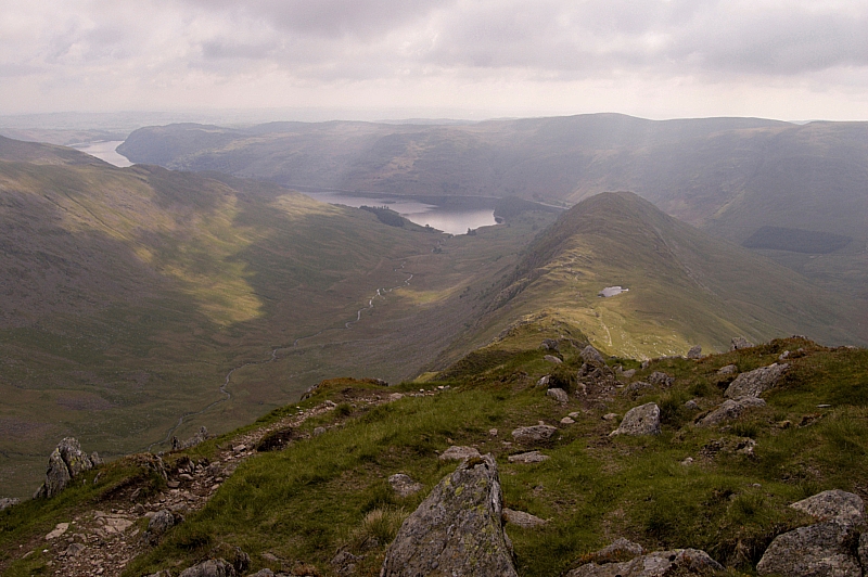
Looking back down Long Stile
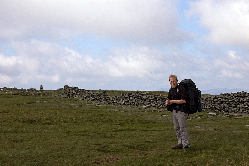
Muggins on the High Street plateau
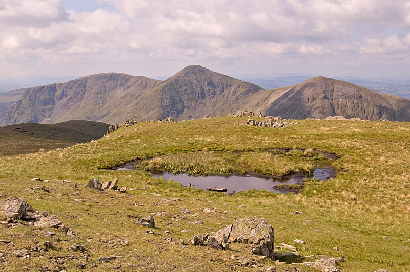
After a few minutes at the top, we headed off towards Mardale Ill Bell, a gentle stroll that took all of 35 minutes, during which time we met a few folk walking up to the High Street plateau. We found a tadpole-infested small pond about 20 yards from the summit of the Bell, it was full of peat-stained water but we trusted our filter-bottles and processed enough for a quick brew. The Jetboil was eyed jealously by the few folk that passed the summit outcrop, comments like "I see you've got the kettle on" were met with offers of a free cuppa but there were no takers. Oh, well, it was their loss, it tasted good!
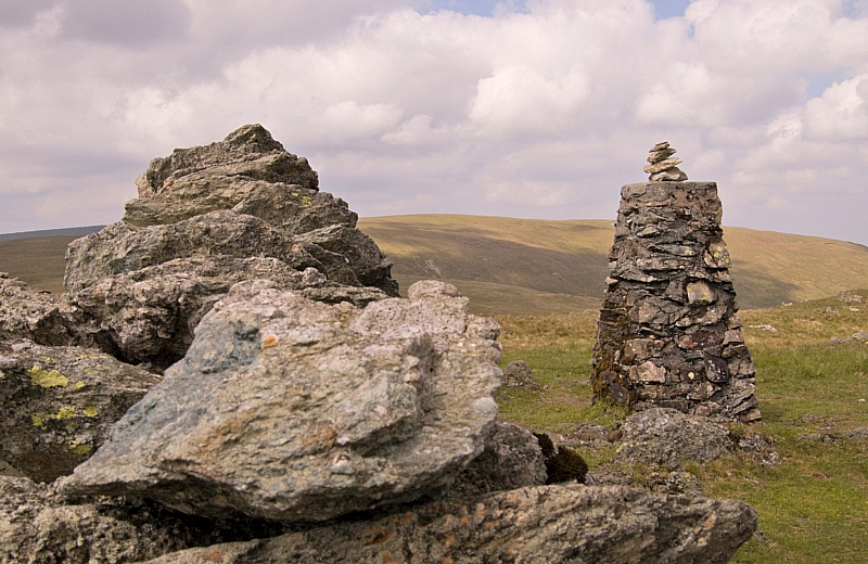
The Ill Bell Ridge from Mardale Ill Bell summit
Next on the list of objectives was Harter Fell. We were unsure of water availability at the Nan Bield Pass, so we made our stock back up to 2l and made our way down to the shelter in the pass. After a short breather, we carried on up the slope to Harter Fell, partly in shade but mostly in sunshine. Predictably, the small ponds at the top were dry, thus justifying the carrying up of those 2 litres.
The top of Harter Fell
At this point we had to make a decision. We had planned for the option of nipping down to Kentmere Pike and Shipman Knotts before carrying on around the head of Mardale. The sun was now really strong, so we elected to play safe and just go down to the Pike for lunch, and make another decision about the Knotts later, depending on water availability. The walk down to Kentmere Pike was soon done, and the Jetboil was soon steaming away boiling up for food and another brew. I wandered off packless to get a view of the Knotts but decided to leave them for another day.
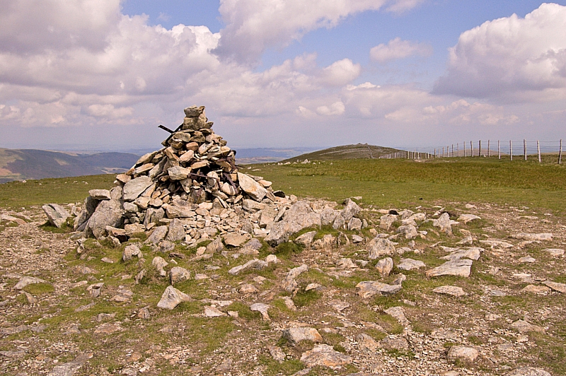
Kentmere Pike trigpoint
We spent some time sitting in the sun but it was soon time to move on. We trudged back up to Harter Fell, pausing there only for a photo-opportunity, and strode around the Mardale edge of the wide curving ridge to Little Harter Fell before descending to the top of the Gatescarth Pass.
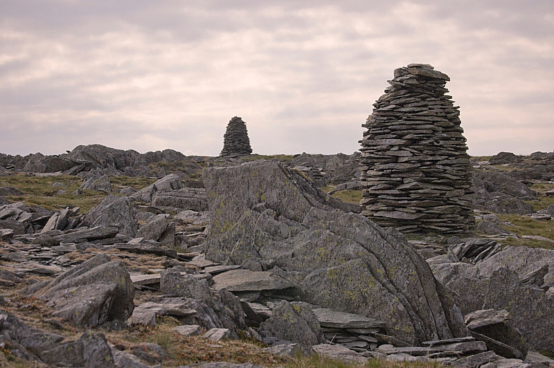
At the pass we were down to 0.5l each, so we had to scout around to find more before going on. With water we would carry on to Branstree, without it we would retire back to the valley. Eventually I found the spring that is the source of Gatescarth Beck, it was a cold and crystal-clear pond, no more than 3ft x 2ft and home to at least one splendid newt. We refilled and started up the dull, steep, straight grassy track next to the boundary fence, knowing that it led directly to the top of the fell. This was the third significant ascent of the day and our legs were really feeling the strain, but we made the top in good time - indeed, we stayed only for some pics, then carried on to the magnificent cairns on Artle Crag, situated in a strange area of naturally-standing rocks.
Cairns on Artle Crag
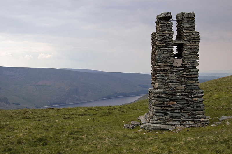
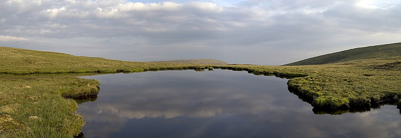
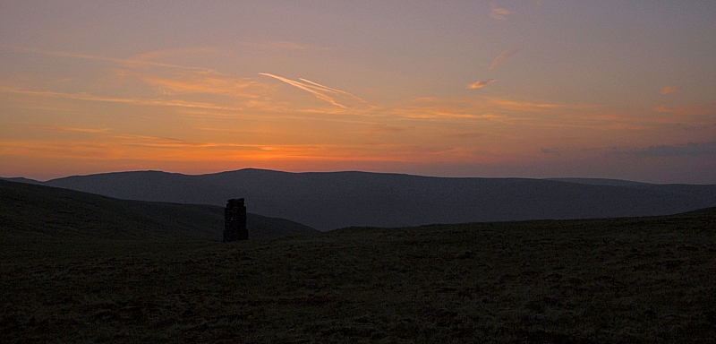
From there we could see our next pitch - the two tarns (one full, the other dry) just beyond the Manchester Corporation Water Works survey post, which we reached at about 17:00. I toyed with the idea of nipping off packless to nab Tarn Crag and Grey Crag but decided that the more-or-less pathless 6km there and back would be too much, so we pitched early so that Chris could get some rest. We spent a leisurely evening waiting for the sun to set the skies alight, but it turned out to be a bit of a let-down - nice, but nothing spectacular.
M.C.W.W. Survey Post
Tarn
Sunset
After a hearty meal and a well-deserved wash, it was time for some shuteye. It had been a tiring day, but well worth the effort.
To be continued...

