Archive for the 'Maps' Category

Not going the extra mile

Posted by on April 30th 2011 in Great Escapes, Lakes Escapes, Maps, Rambling on...
Tags:

One of the minor hassles of walking the Wainwrights is that there are times when I'm up on the fells and I get to thinking "I'm happy, I've done enough, I don't really fancy going up that next bit just for the sake of another tick on a list". At the time it seems the right thing to do, there's no point in over-stretching, it takes the fun out of it. After all, we've probably all heard, and possibly even used, phrases like "the hills will still be there tomorrow". Fell-walking is supposed to be about pleasure, not pressure.

Trouble is, it plays with my mind, especially straight after the choice becomes irrevocable, usually on the walk-out. Those nagging thoughts that it would have been easy, that I've let myself down, that I'll have to walk large bits again for less gain. It needles me, it makes me regretful, and eventually it starts to rob me of the pleasure that I thought I'd had.

The problems become even more apparent later when an OCD list-ticker such as myself, 200 miles away from the fells, looks at the map and at the "to do" list and thinks...

  • twice I've been up Skiddaw and twice I've not continued northwards that extra mile to visit Bakestall...
  • if I'd detoured the extra mile to Lonscale Fell the first time I went up Skiddaw, I wouldn't have had to go up there again last week...
  • if I'd just walked that extra mile further during the 2008 wildcamp with Chris, I would have got to Shipman Knotts...
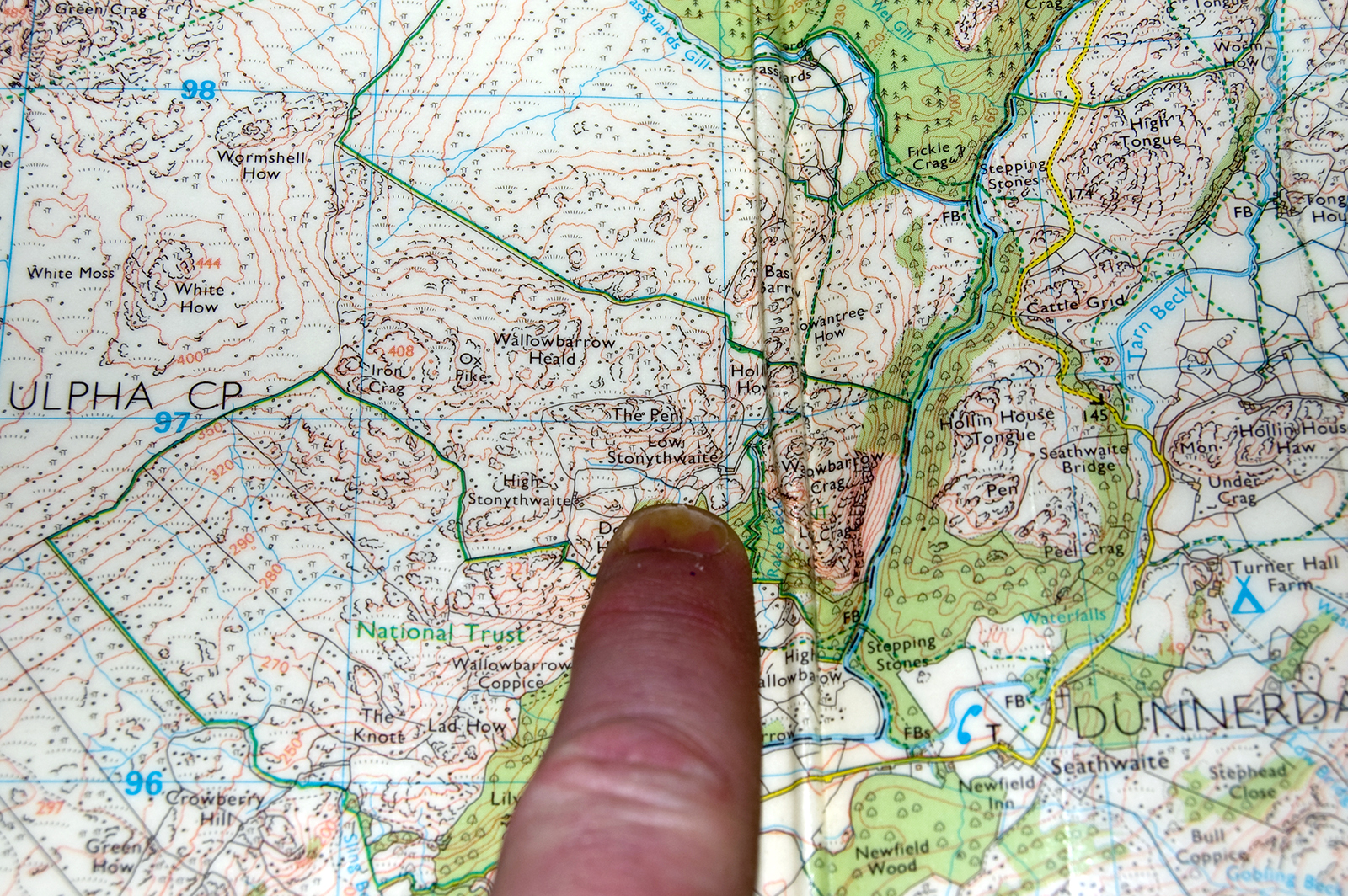
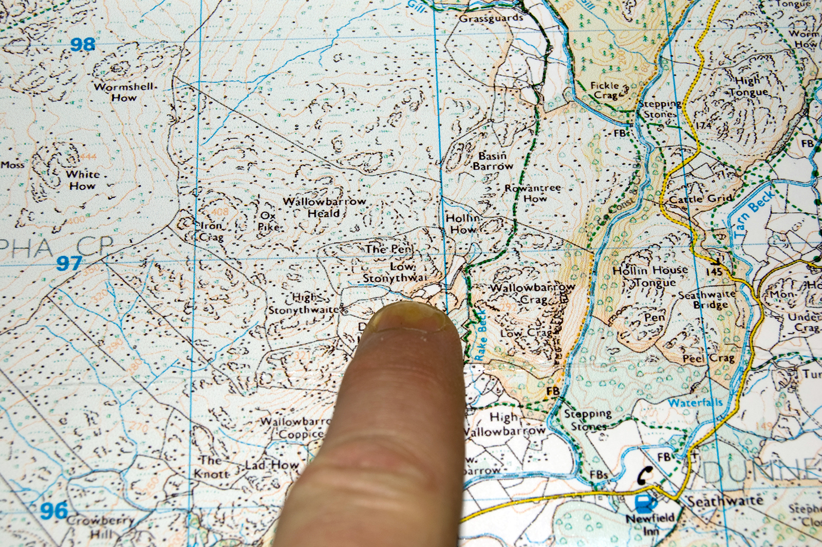
  • if my mind hadn't been preoccupied with other things, I wouldn't have turned back half a mile short of Green Crag way back in 2006...
  • if I'd been a bit more strict with myself, I wouldn't have declined the half-mile detour to Rest Dodd during the 2007 wildcamp with Chris...
  • the further mile or so from there to The Nab would have been doable too...
  • and as for the first two circuits of Seat Sandal, before the third attempt when I actually did reach the top, the less said, the better.

So now, apart from a couple of decent-length walks during each of which I can pull in a handful of currently-unascended tops, I'm left with several singletons or pairs of unvisited short-walk fells, linked only to places that I've trodden before. "Fragmented" is the word that springs to mind.

I suppose that a weekend dedicated solely to nabbing these scattered things would be effective, but there'd be as much time spent driving as would be spent walking - where's the fun in that?
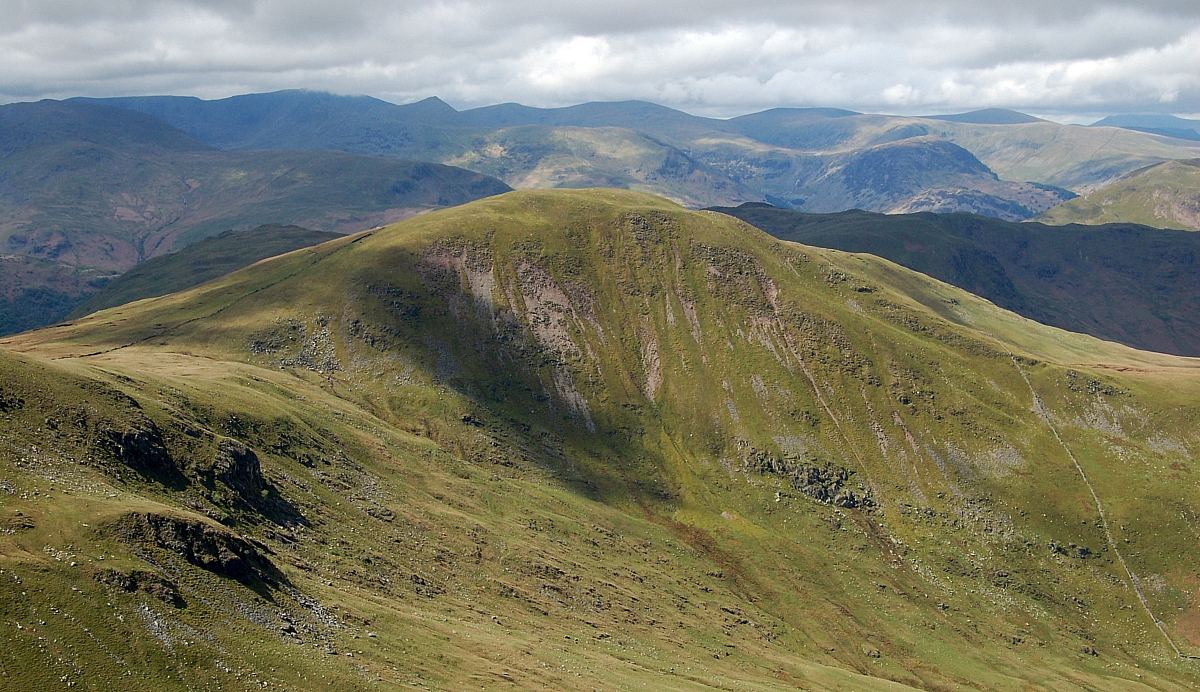
 

Rest Dodd


Maybe I should simply chill out, bin the list and just walk for the hell of it.

Mind you, I'm only 20 shy of the finish - that's the stats-equivalent of the last mile...

Maybe a beer would help?

Digits

Posted by on December 13th 2010 in Maps

Unlike my finger, Low Stonythwaite was cut off in its prime...


On my 1987 paper map.


On my printout of my 2004 digital map.


My finger's still more-or-less intact and attached. Whatever now remains of Low Stonythwai(te) is at Grid Ref SD2182596915 (ish) if you're interested.

It's been claimed many times that our national mapping agency deliberately puts errors in digital maps in order to "trap" copyright violators, these claims are generally denied. I can't vouch for either side of this debate, but I'd say that if our national mapping agency really is deliberately and knowingly publishing such errors in documents that are supposed to be as accurate as possible, it smacks of misuse of funding which no doubt originally came from the public's purse or wallet. That can't be legal, can it?

Merry-go-round

Posted by on April 20th 2010 in In the News, Maps, Weather

It's interesting watching the plane icons looping-the-loop over at http://www.radarvirtuel.com/# - there are only two in the air in our airspace right now, and they've been going around and around for ages. It reminds me of Die Hard 2...

Here's BAW84 at 19:26. After a few more loops above the IOM, it went to Dublin but got turned away. After a wander across the mainland UK it eventually went off the screen at London:

And here's BAW284 at 19:26, spending nearly two hours circling above the west coast of Ireland...

and again, over 1.5 hours later, eventually reaching London after six loops above Ireland:

All this was happening before the UK airports were allowed to open. It's taking a big chance, crossing the Atlantic when there's no assurance of being allowed to land. Maybe they were confident that Bruce Willis would turn up and save the day 🙄

UMapper updated

Posted by on November 6th 2008 in Great Escapes, Maps, Plugins

UMapper's now got quite a few more features, the best one is the (beta) ability to import data in GPX, KML and geoRSS formats. Preliminary mucking-about has resulted in me importing a whole load of my Lake District walking routes from the Memory-Map installation on my lappy. Be warned - it takes a while to load. Later on, I'll get around to adding some notes/markers/lines etc., but for now, WYSIWYG.


Just testing UMapper

Posted by on July 3rd 2008 in Maps, Rambling on...

I've been playing around with UMapper, another nice map-making service. It says that it's "the first universal web-based map-layering engine", and they claim that it's good for Blogger and WordPress, amongst other blog services. You get the choice of Google Maps, Microsoft Virtual Earth or OpenStreet. I've had a go with the Wordpress plug-in version and made this without having to leave the WP admin area:


[umap id="1747" size="l" alignment="center"]


STOP PRESS! July 23rd 2008: Version 1.2.0 of the UMapper plugin was released, but it broke the blog when I updated to it, preventing me accessing any of the blog admin. I had to delete the plugin files and reinstall version 1.1.8.

STOP PRESS! July 25th 2008: Version 1.3.2 of the UMapper plugin was released, but it broke the blog when I updated to it, preventing me accessing any of the blog admin, and giving the following error-messgae: Fatal error: Cannot redeclare media_admin_css() (previously declared in /home/beardedg/public_html/wp-content/plugins/umapper/Umapper.php:140) in /home/beardedg/public_html/wp-admin/includes/media.php on line 198. I had to delete the plugin files and reinstall version 1.1.8 again.

STOP PRESS! July 27th 2008: Version 1.3.6 of the UMapper plugin was released, but it broke the blog when I updated to it, preventing me accessing any of the blog admin, and giving the following error-messgae: Fatal error: Cannot redeclare media_admin_css() (previously declared in /home/beardedg/public_html/wp-content/plugins/umapper/Umapper.php:140) in /home/beardedg/public_html/wp-admin/includes/media.php on line 198. I had to delete the plugin files and reinstall version 1.1.8 yet again.

STOP PRESS! July 28th 2008: Version 1.3.71 of the UMapper plugin was released, and it installs but doesn't work right yet (nothing happens when I click on the "Add UMapper Map" icon in the write post admin screen). Many thanks to Vic for the info about the update.

STOP PRESS! July 28th 2008: Cleared the cache and rebooted, all's working now. Happiness is restored. :grin:

A composite map

Posted by on November 15th 2007 in Maps, Projects

Right, here's another map, built from the seven KML channels that are used in the individual Wainwright area maps posted in the "Been there, done that" sub-pages. Each channel can be toggled on or off by using the controls in the map's tools sidebar.

Hopefully, Mad Jim will get this to load! 😉

EDIT: I've moved this map to a new page, so that it doesn't delay the loading of the blog.