Archive for the 'Lakes Escapes' Category

Far Eastern Fells Wildcamping – Day 3 – A fine finish

Posted by on June 4th 2008 in Annual Wildie, Great Escapes, Lakes Escapes, Wildcamping

We were awake at 07:00 and packed up by 08:00, ready for the last leg of the walk. The weather was still in our favour - overcast but warm with a slight breeze.

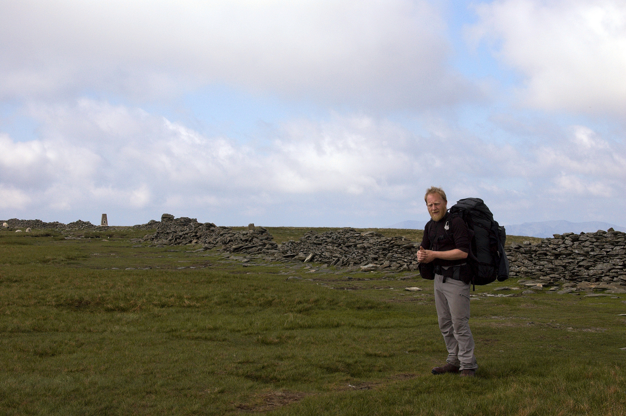
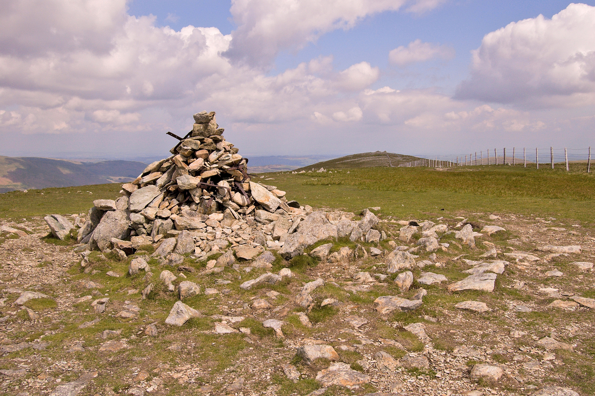
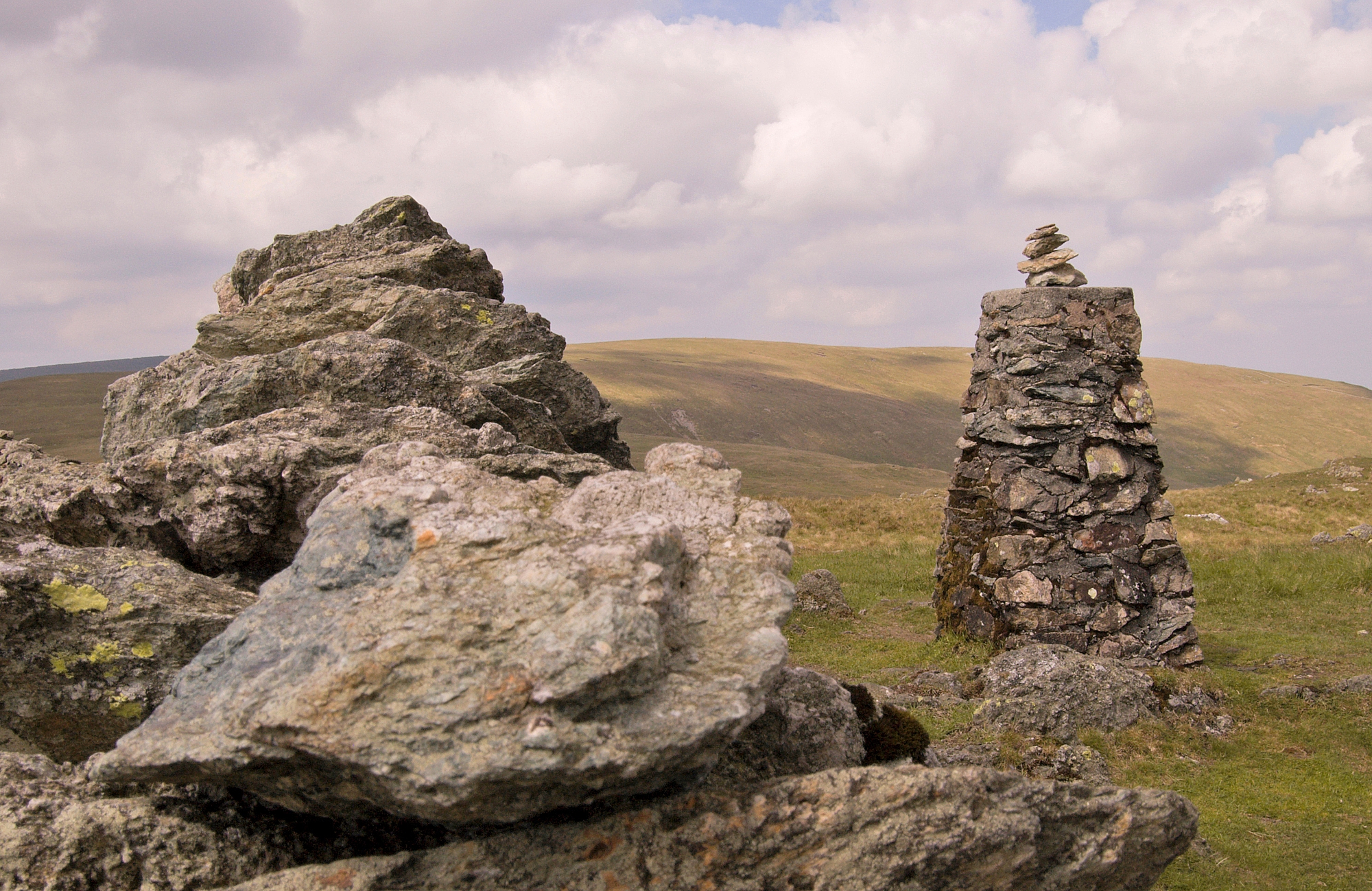
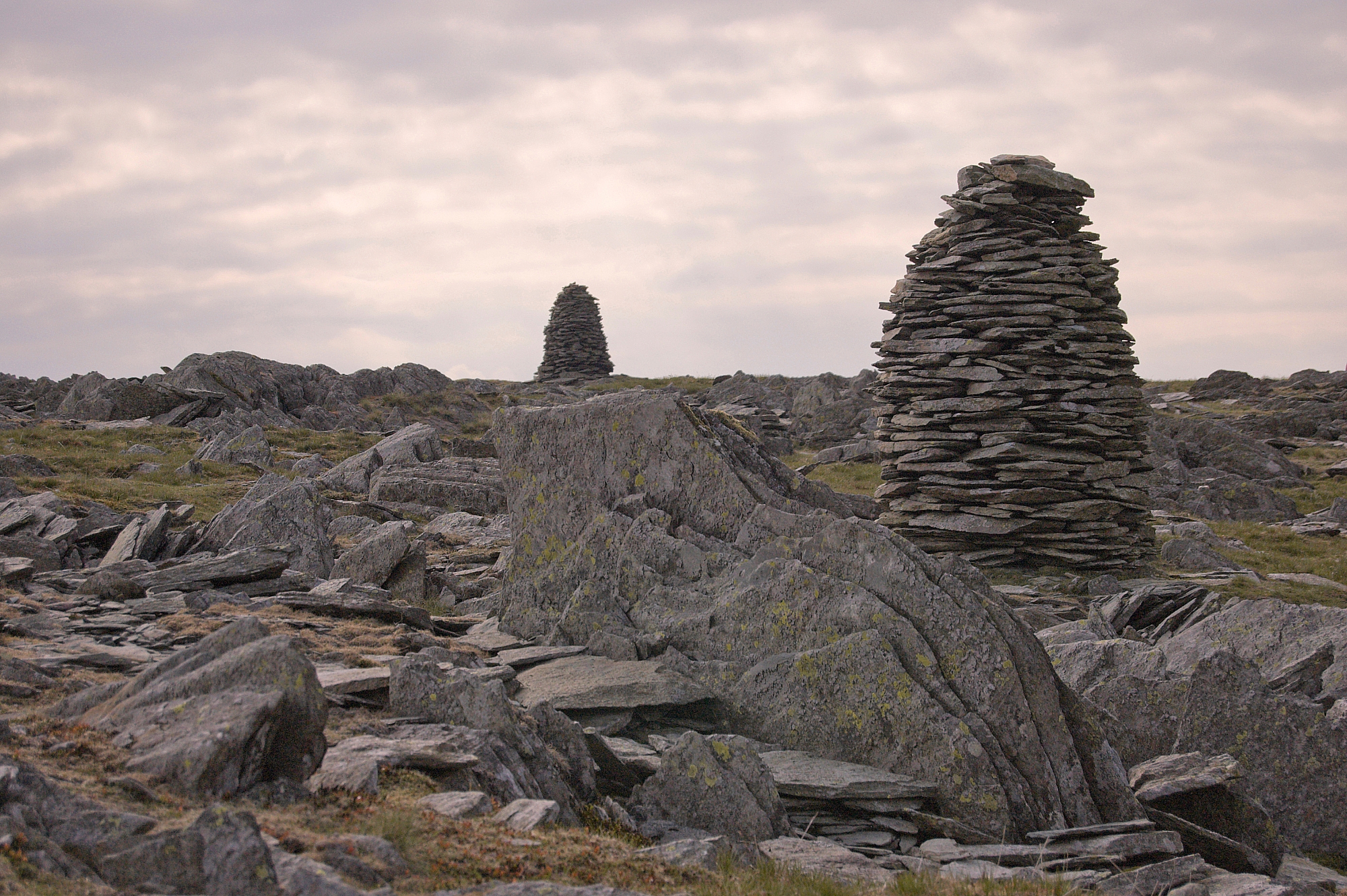
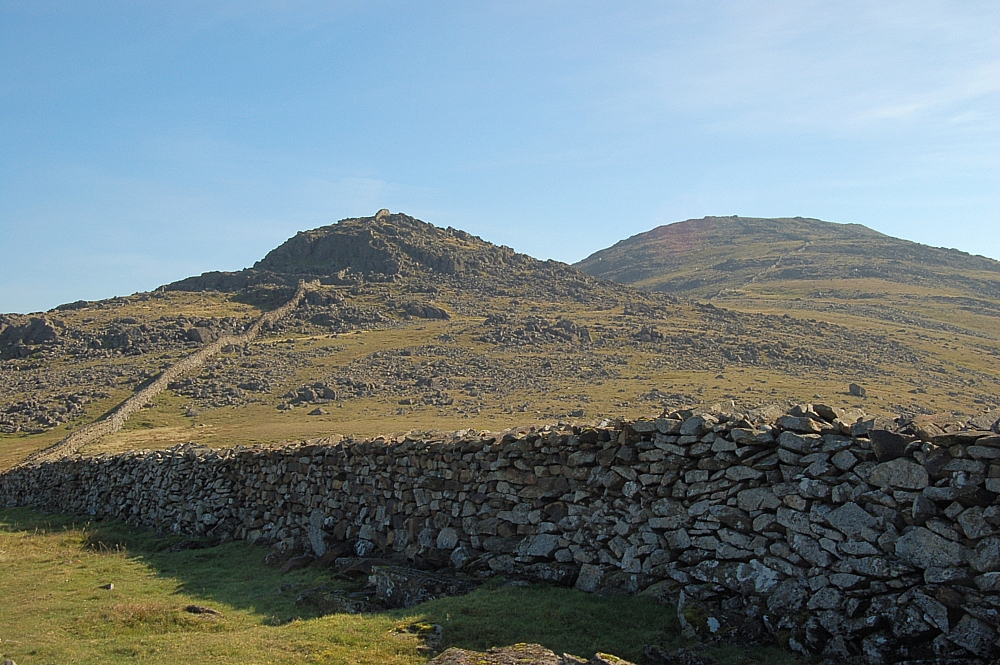
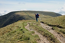
We strolled up onto the nearest high ground (a low mound just to the side of the dry tarn) and made a beeline from there to Selside Pike. The walk was uneventful and quiet except for the racket made by a flock of seagulls that we had to walk past as we crossed Captain Whelter Bog. We made it to the summit shelter by 08:50, took a few pics and chose a route down to lower ground.


Selside Pike shelter


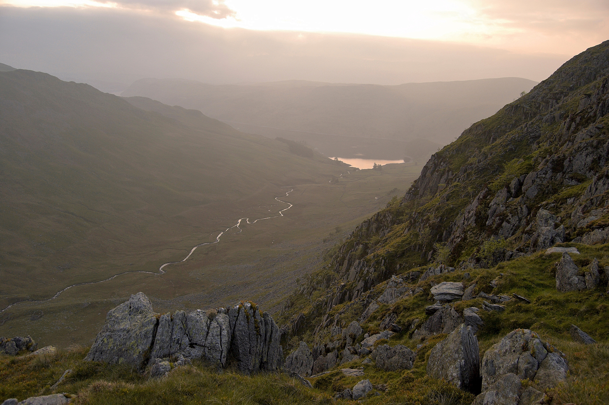
Our chosen route took us down over High Blake Dodd and Selside End, allowing us to get a great view of Swindale.
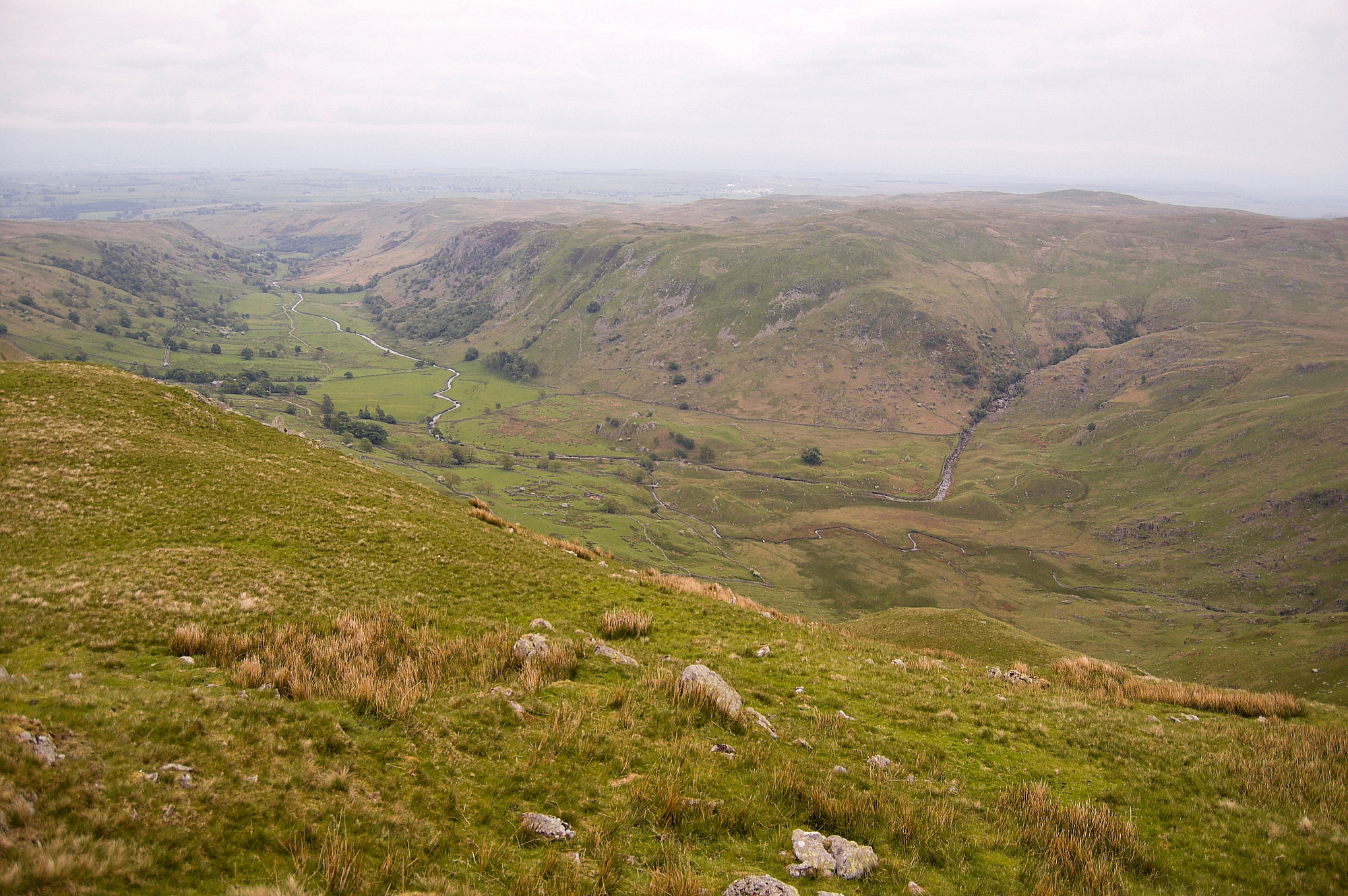
 

Swindale


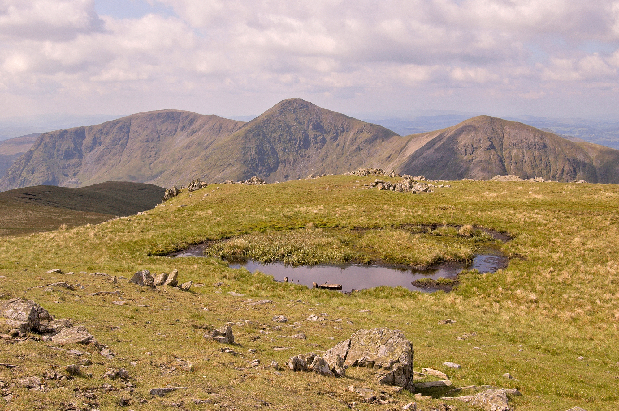
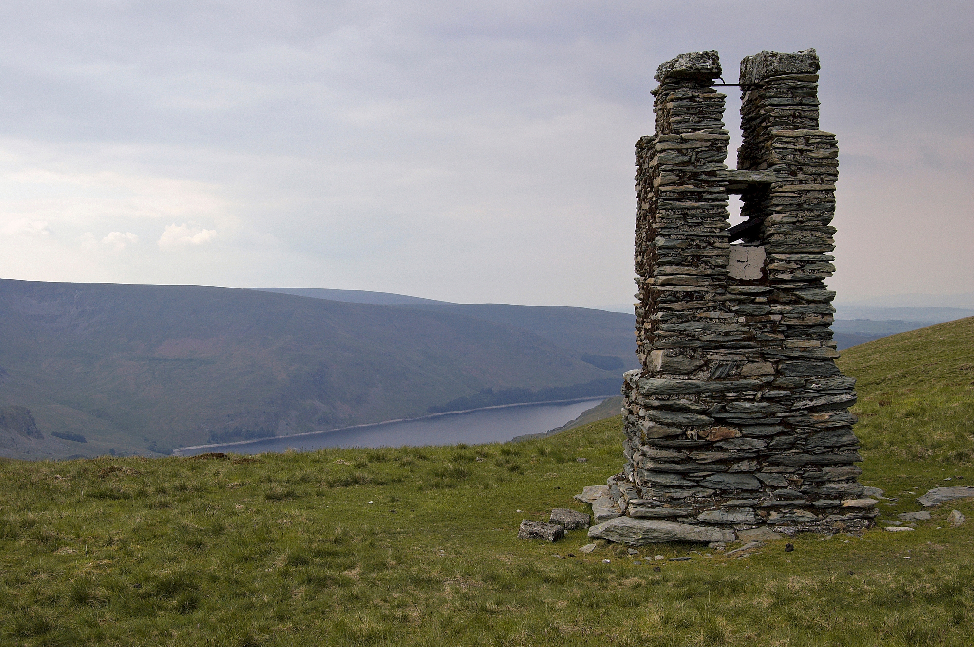
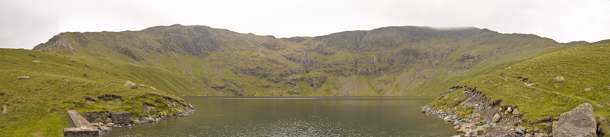
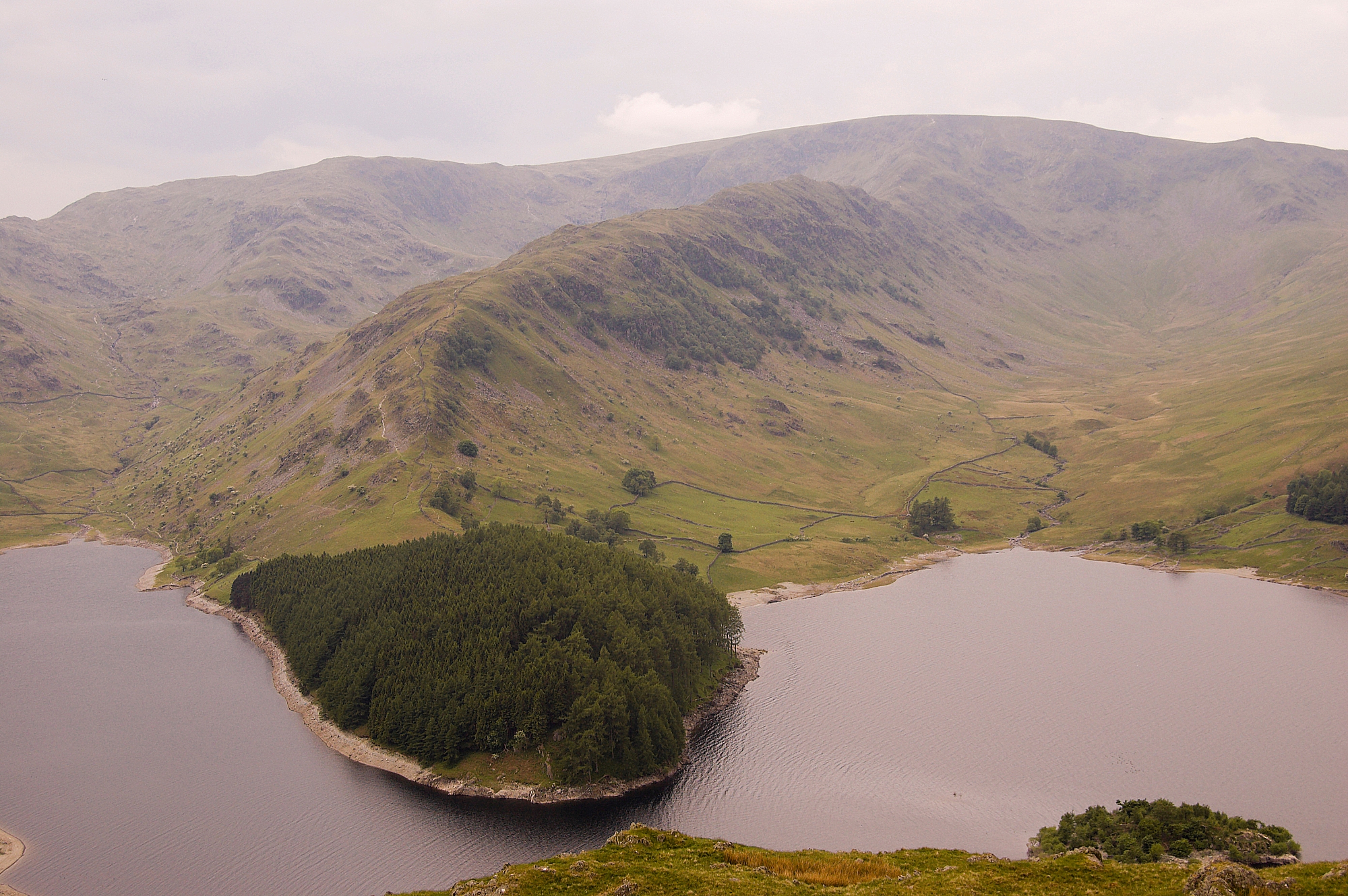
We joined the Old Corpse Road at the highest point and headed off towards Haweswater. Unlike a lot of walk-offs where the best of the scenery is usually behind you, this path leads back into the heart of Mardale Head, with an end-on view of the Long Stile ridge, so the view in front gets better with every step. There's great satisfaction in looking at the circuit of high peaks surrounding the head of the valley and thinking "we've just been up all of those". The view really opens up at High Loup, where we took some pics and a short rest. The abandoned buildings here, high on the fellside, would make a good bivvy spot.


Mardale Head panorama from High Loup


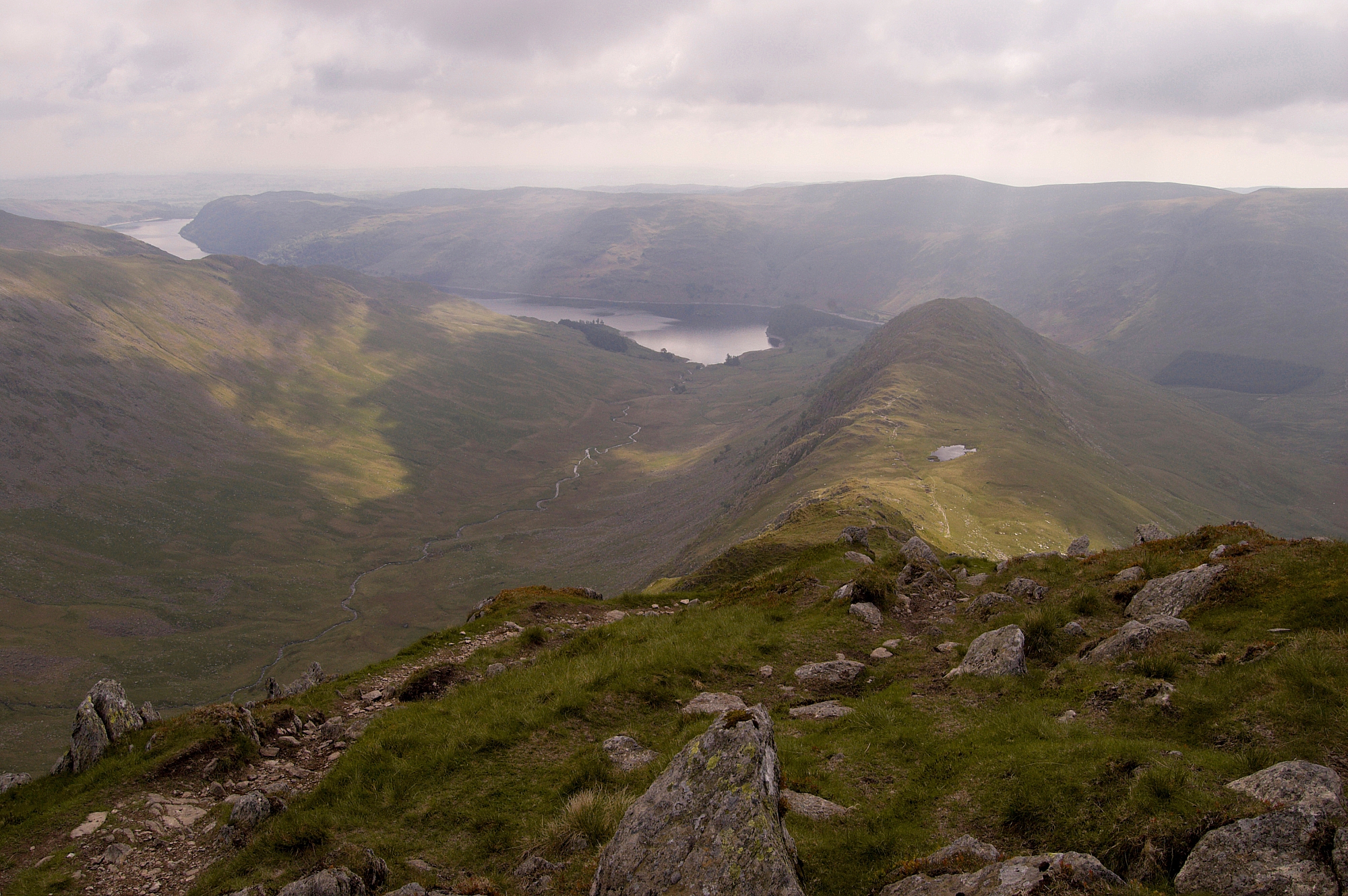
Long Stile, Rough Crag and The Rigg from High Loup


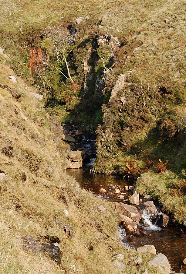
We then descended the path which goes down in steep zig-zags, passing some fine waterfalls in wooded ravines, before reaching the road right opposite The Rigg, which is the wooded terminus of the Long Stile/Rough Crag ridge.


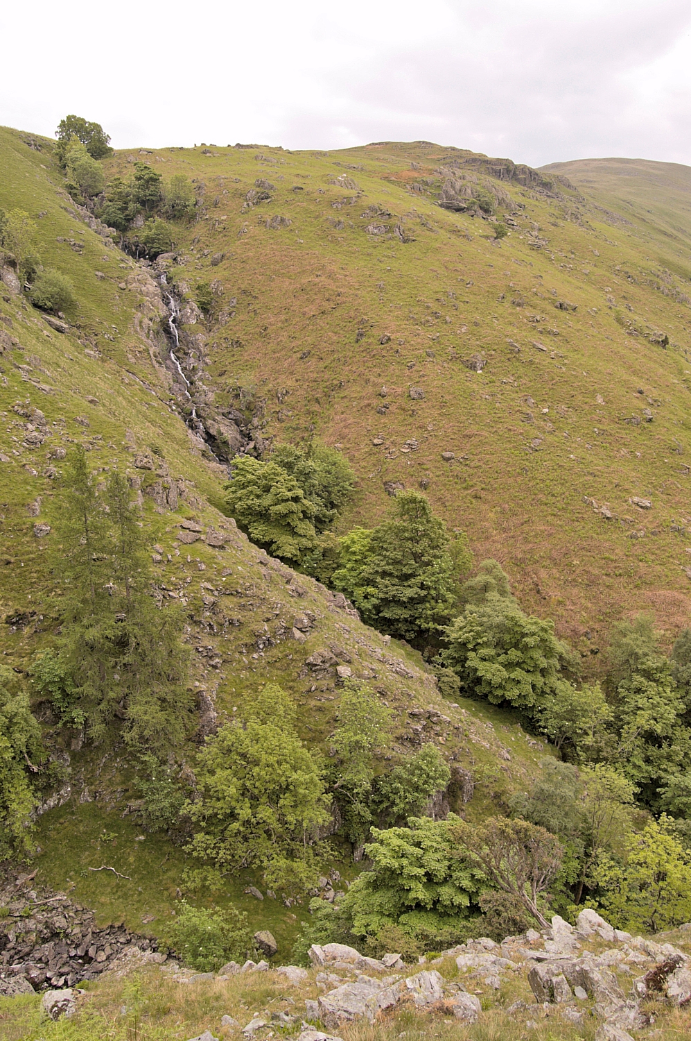
Waterfalls in Hopgill Beck


On reaching the road there was a choice of routes back to the car-park: along the road, or along the lakeside path. We chose to take the road, having done enough steep descending for one morning. Little did we know that we would have to pass perilously close to the lair of the local hoodlums...
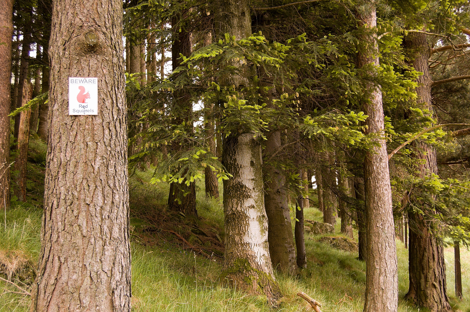
 

BEWARE!


After that, the route was without danger and we made it back to the car unscathed. We had a quick change of clothes, a snack and a chat with some anglers and walkers in the car-park, then we were off to find somewhere for lunch just as the first rain of the weekend started. Excellent timing, eh?

The journey back down the M6 was as bad as the journey up had been good. There were hold-ups at almost every major junction, and two lanes were blocked by an accident near J13, snarling up the traffic right back to J15 and beyond, so we bailed at J16 instead of the usual J12 and took a cross-country route. In the end it took a shade over 7 hours to do the 195 miles back home.

Expect a post-trip analysis soon...

Far Eastern Fells Wildcamping – Day 2 – Ups and downs

Posted by on June 3rd 2008 in Annual Wildie, Great Escapes, Lakes Escapes, Wildcamping

We woke at 04:30 but it wasn't fully light so we decided to have a lie-in. Well, why not? It was the weekend!

At 05:30 the sun was about to rise above the bank of low cloud far away in the North-East, so we went walkabout among the crags, peering down gullies and taking more pics. The views into and across Riggindale were immense, with the bonus of this being one of the best points of vantage for seeing the shy hanging valley of Sale Pot just beyond Short Stile. Riggindale Beck's twists and meanders glistened in the early light, being visible all the way from the source to the mouth at Haweswater. I could have spent another hour or so at this place, but we needed to be away.


Riggindale from Caspel Gate


Breakfast was a lengthy and leisurely affair - the day promised to be hot and sunny, so we wanted to take in a lot of fluids to cut down on the amount we would need to carry up, knowing that the flat top of High Street would be dry. We managed to cut the carry-up water to 1l each.

We struck camp and finished packing by 09:00 then started up Long Stile towards High Street, pausing now and again to take more pics. We made the summit at 09:40 just as the sun started to make itself felt.


Looking back down Long Stile


Muggins on the High Street plateau


After a few minutes at the top, we headed off towards Mardale Ill Bell, a gentle stroll that took all of 35 minutes, during which time we met a few folk walking up to the High Street plateau. We found a tadpole-infested small pond about 20 yards from the summit of the Bell, it was full of peat-stained water but we trusted our filter-bottles and processed enough for a quick brew. The Jetboil was eyed jealously by the few folk that passed the summit outcrop, comments like "I see you've got the kettle on" were met with offers of a free cuppa but there were no takers. Oh, well, it was their loss, it tasted good!


The Ill Bell Ridge from Mardale Ill Bell summit

Next on the list of objectives was Harter Fell. We were unsure of water availability at the Nan Bield Pass, so we made our stock back up to 2l and made our way down to the shelter in the pass. After a short breather, we carried on up the slope to Harter Fell, partly in shade but mostly in sunshine. Predictably, the small ponds at the top were dry, thus justifying the carrying up of those 2 litres.


The top of Harter Fell


At this point we had to make a decision. We had planned for the option of nipping down to Kentmere Pike and Shipman Knotts before carrying on around the head of Mardale. The sun was now really strong, so we elected to play safe and just go down to the Pike for lunch, and make another decision about the Knotts later, depending on water availability. The walk down to Kentmere Pike was soon done, and the Jetboil was soon steaming away boiling up for food and another brew. I wandered off packless to get a view of the Knotts but decided to leave them for another day.


Kentmere Pike trigpoint


We spent some time sitting in the sun but it was soon time to move on. We trudged back up to Harter Fell, pausing there only for a photo-opportunity, and strode around the Mardale edge of the wide curving ridge to Little Harter Fell before descending to the top of the Gatescarth Pass.

At the pass we were down to 0.5l each, so we had to scout around to find more before going on. With water we would carry on to Branstree, without it we would retire back to the valley. Eventually I found the spring that is the source of Gatescarth Beck, it was a cold and crystal-clear pond, no more than 3ft x 2ft and home to at least one splendid newt. We refilled and started up the dull, steep, straight grassy track next to the boundary fence, knowing that it led directly to the top of the fell. This was the third significant ascent of the day and our legs were really feeling the strain, but we made the top in good time - indeed, we stayed only for some pics, then carried on to the magnificent cairns on Artle Crag, situated in a strange area of naturally-standing rocks.


Cairns on Artle Crag


From there we could see our next pitch - the two tarns (one full, the other dry) just beyond the Manchester Corporation Water Works survey post, which we reached at about 17:00. I toyed with the idea of nipping off packless to nab Tarn Crag and Grey Crag but decided that the more-or-less pathless 6km there and back would be too much, so we pitched early so that Chris could get some rest. We spent a leisurely evening waiting for the sun to set the skies alight, but it turned out to be a bit of a let-down - nice, but nothing spectacular.


M.C.W.W. Survey Post


Tarn


Sunset


After a hearty meal and a well-deserved wash, it was time for some shuteye. It had been a tiring day, but well worth the effort.

To be continued...

Far Eastern Fells Wildcamping – Day 1 – Hold-ups and detours

Posted by on June 2nd 2008 in Annual Wildie, Great Escapes, Lakes Escapes, Wildcamping

We had a hassle-free drive up the A5 and the M6 to Junction 39, there were none of the usual roadworks to hold us up, so we made good time to Shap. Then it was time to crank up the satnav and head off for the pre-programmed lat/long for Mardale Head. After a few miles we ended up at the end of the road into Swindale, with CoPilot telling us to "take the local road" directly to the head of Haweswater. Well, the only "local road" that goes the right way is the "Old Corpse Road", and that's hardly fit for MTBs, let alone cars, so we ditched the satnav and rerouted using the OS map. The nav error wasn't a complete waste of time, though, as Swindale is a nice place (we'll come back for a proper visit another time) and we saw some wildlife on the way out, including one of the biggest hares I've ever seen. Sadly, it was off before I could get the camera out, so I've no pics of the beast.

Anyway, we were soon belting down the road to Mardale Head but after a mile or so we were halted by a resurfacing crew who told us that we couldn't go further as they had the road blocked between the Haweswater Hotel and the road-end car-park. "Typical", I thought, "we've picked the only week for years when the head of the valley is off-limits", but a friendly chat with their gaffer revealed that they had just run out of tar and so would be going home soon. About 20 minutes later all their plant came back, followed by a string of cars full of disgruntled families.

We soon hauled up in the car-park and, after changing into our walking gear, donned our packs and made for Blea Water, which was our second-choice of pitch for the first night.


Blea Water panorama, Mardale Ill Bell (l) and High Street (r)


It was an easy walk up and we made it to the dam much sooner than we had anticipated, so after a snack-break we decided to head off up the easy grass slope on the right to our first-choice site, Caspel Gate Tarn on the ridge of Long Stile. This turned out to be an excellent place to overnight, there being plenty of level pitches and exhilarating views down each side of the ridge into the adjoining valleys. We would have had plenty of time to get up onto High Street to the third-choice site before dark, but that would have involved carrying up 5 litres of water for a night on the dry top, and neither of us was enthralled at that idea. Besides, I wanted to be at Caspel Gate at dawn to get some photos of the crags in the morning light. High Street could wait until the next day, we were in no rush.


High Street and Long Stile from the Caspel Gate pitch


As we pitched, the broken clouds, which had been just grazing the tops, lifted and thickened a little, which ensured that we would have a mild night. We had the place to ourselves, having seen nobody else at all since leaving the car-park. There was no running water, so we filtered from the tarn, brewed up, had some food then settled in for the night after taking a few photos.


Rough Crag from the Caspel Gate pitch


To be continued...

Ennerdale wildie question

Posted by on October 10th 2007 in Great Escapes, Lakes Escapes, Maps, Site update

A bird (of the feathered variety) hassled me on the descent to the valley... could someone please give me a definite answer as to what it was? I've trawled through all of the relevant books in my mini-library but I can't find a positive match.

Thanks in advance.

Plan v Reality: A weekend at Ennerdale

Posted by on October 9th 2007 in Great Escapes, Lakes Escapes, Thanks, Wildcamping

OK, so it started with a plan. Drive up to Ennerdale, park at Bowness Knott, leg it up Grike and spend Friday night there, go on to Crag Fell, Lank Rigg, Caw Fell and Haycock and camp up there Saturday night, then either drop back down or carry on to the Pillar range depending on time, fitness, weather etc..

Well, it didn't quite work out like that. The traffic on the M6 was heavy, which added two hours to my travel time, which meant that I couldn't get onto the tops on Friday night. Further to that, in the (free) car-park at Bowness Knott there were signs that told of footpath closures due to forestry work , which meant that I wouldn't be able to follow my preferred route back down the valley if I went on past Pillar.

So, I spent the evening down by the lake and the night in the car, and made a new plan...


Ennerdale sunset

Saturday dawned cloudless after a clear, warm and starry night. Kitted up, I walked up the valley to the first concrete bridge and stopped there for breakfast beside the river. After that I crossed the valley and walked up through the plantations to the confluence of Silvercove Beck and Deep Gill, where there is a beautiful halt with waterfalls, cascades and a narrow bridge that looks like it should have a troll living beneath it. This was the last running water for miles, so I stuck three litres in the platy and started the grind up the ridge to the col between Caw Fell and Little Gowder Crag, walking directly into the strengthening sunlight.


The parting of the ways

 After much sweating I reached the col and, after a breather, I made my way past Little Gowder Crag to the summit of Haycock. At the top was a nice couple that had passed me on the way up. We chatted while I set up the Jetboil for a brew, we took some photos (I must remember to email them their pics after posting this) and then they went off to make their way up to Scoat Fell and beyond.


Little Gowder Crag with Haycock in the distance


After a cuppa, a light snack and a smoke, I made off to Caw Fell, which is a simple place on the map but a source of confusion on the ground. It's a simple walk alongside the ridge-wall to the cairn, but, when walking towards it, you get the impression that it's not the highest point on the fell, probably because there are no high fells to the west to give a proper perspective. I marched on past the cairn and beyond the corner of the wall to the shelter at NY 12497 10763 for a break and to decide whether to follow the wall northwards then westwards to Crag Fell, or make a bee-line for Lank Rigg. I was getting through lots of fluids because the day was so hot, and the platy was nearly empty, so I decided to take the more direct route westwards, as it meant crossing several streams where I could resupply often without having to carry a full load.

I rounded the top of Caw Fell Crags then set off through the heather and boulder-fields on a direct line towards Red Gill, negotiating the ravines of Bleaberry Gill and Long Grain on the way. The watersmeet at the bottom of Red Gill looked like a great place to camp, but I pushed on up the Gill and set up for the night next to the sheepfold in the col between Lank Rigg and Whoap. It was only when I went down to the stream for a wash that I realised that my arms and face were red with sunburn.


A ravine in Long Grain


I didn't sleep much that night - it was too warm even though the sky was clear and starry. I spent some time looking for meteors (it was the start of the Draconids shower) but I didn't see any. I did doze off eventually during the small hours after losing a running battle with a family of shrews that seemed to want to party the night away between the tent footprint and the groundsheet.

I woke just before first light and decided to stroll up to the top of Lank Rigg before breakfast. The view towards the rising sun was impressive and compelling, but I couldn't stay too long as I wanted to get fed and packed up before the lowering clouds wet the tent too much.


Sunrise from the top of Lank Rigg


An hour later I was away over the top of Whoap and into the plantation below Crag Fell. From the far side of the trees it was a ten-minute pull up a heathery slope to the tops for an excellent view of Ennerdale Water and the hazy upper valley. After a few pics I trudged the mile or so along the marshy ridge to Grike and its many cairns, and then it was time to be getting back down.

I made a bee-line down the slope to the sheepfold in Ben Gill, stopping part-way at a bield to watch a little bird whose territory I had accidentally invaded, then it was back to the steep descent past the waterfalls and through the trees to Bleach Green Cottages and a ball-aching route-march along the lake-side path back to the car, where I dumped the gear and went for a much-needed bath in the lake.

The journey back was dire. The traffic on the M6 was crawling from J39 to J24, and beyond that I only managed to get above 60mph after J14. It took over seven hours and an extra gallon of petrol to do the 220 miles to get home.

I reckon it was worth the hassle.


Contrails over the Pillar group


My thanks go to David and Ros Shelton for the chat and pics atop Haycock, and to Gareth Browning (Beat Forester) of Wild Ennerdale for the information regarding access and parking.

Time to start packing – Ennerdale beckons

Posted by on October 3rd 2007 in Great Escapes, Lakes Escapes, Wildcamping
Tags:
You'll all be spared the ordeal of new entries on my blog this coming weekend, as Chris is allowing me to escape up to the Lakes for a wildcamping weekend around Ennerdale. The weather's looking fair, this is the outlook from MWIS:
PLANNING OUTLOOK: all mountain areas of Britain Fine weather over England and Wales this weekend and early next week will spread across Scotland by Sunday – after showers here on Saturday. Winds will fall light, and extensive sunshine is likely, after fog clears from valleys in the mornings. Forecast issued at 1600 Tuesday 2nd October.
But what the hell, the last time I went wildcamping when the forecast was looking grim, the weather turned out to be brilliant, so I reckon I'll bank on being lucky again. What's the worst thing that can happen? I might get a bit wet. It's hardly the end of the world, is it? Hopefully I'll get a few half-decent pics to add to the report that I'll post early next week. Now, back to the packing... Hmmm... Which tent? Which sleeping bag? Which rucksack? Oh, FFS, it's all so much hassle, maybe I should cut down the options by flogging some of my gear when I get back.