Posts tagged 'Wainwrights'

A couple of days at Buttermere – Part 1 – Varied terrain

Posted by on October 29th 2010 in Great Escapes, Lakes Escapes, YHA

This was another trip away with our first-year-apprenticeship hostelling friends. Since our first outing together in the spring they'd been to Ilam Hall and they wanted to go to the LD with us again, they're either keen, mad or both! Either way, it was a bargain weekend - we used more Tesco Clubcard tokens to pay for the accommodation, at the current 4:1 voucher/token exchange rate it kept costs down considerably.

The Thursday morning journey up the standard A5/M6 route was a pleasant surprise - no hold-ups anywhere! We made the customary stop at Ings to raid the Little Chef, pulled into Windermere for a bit of shopping and then pushed on to Buttermere YHA via Keswick and Borrowdale just to introduce the others to the delights of the drive over Honister Hause.

Having had negative experiences with room-sizes at Windermere during the spring, I'd specifically asked for decent-sized rooms at Buttermere and we weren't disappointed - we had plenty of space for the kids to tip their kit onto the floor in a haphazard fashion, as they do.

After getting sorted we headed off to The Fish for a hearty meal and a few beers before turning in for the night.

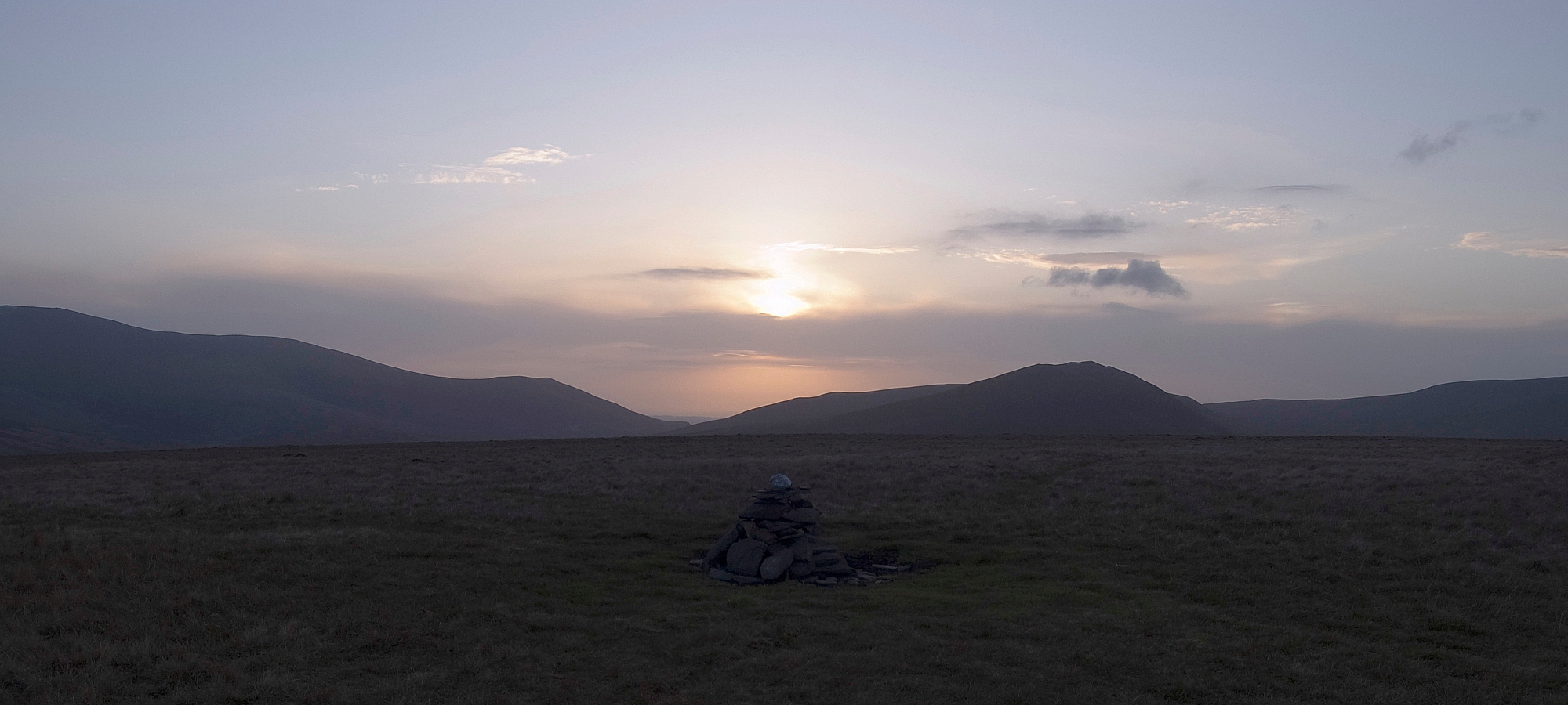
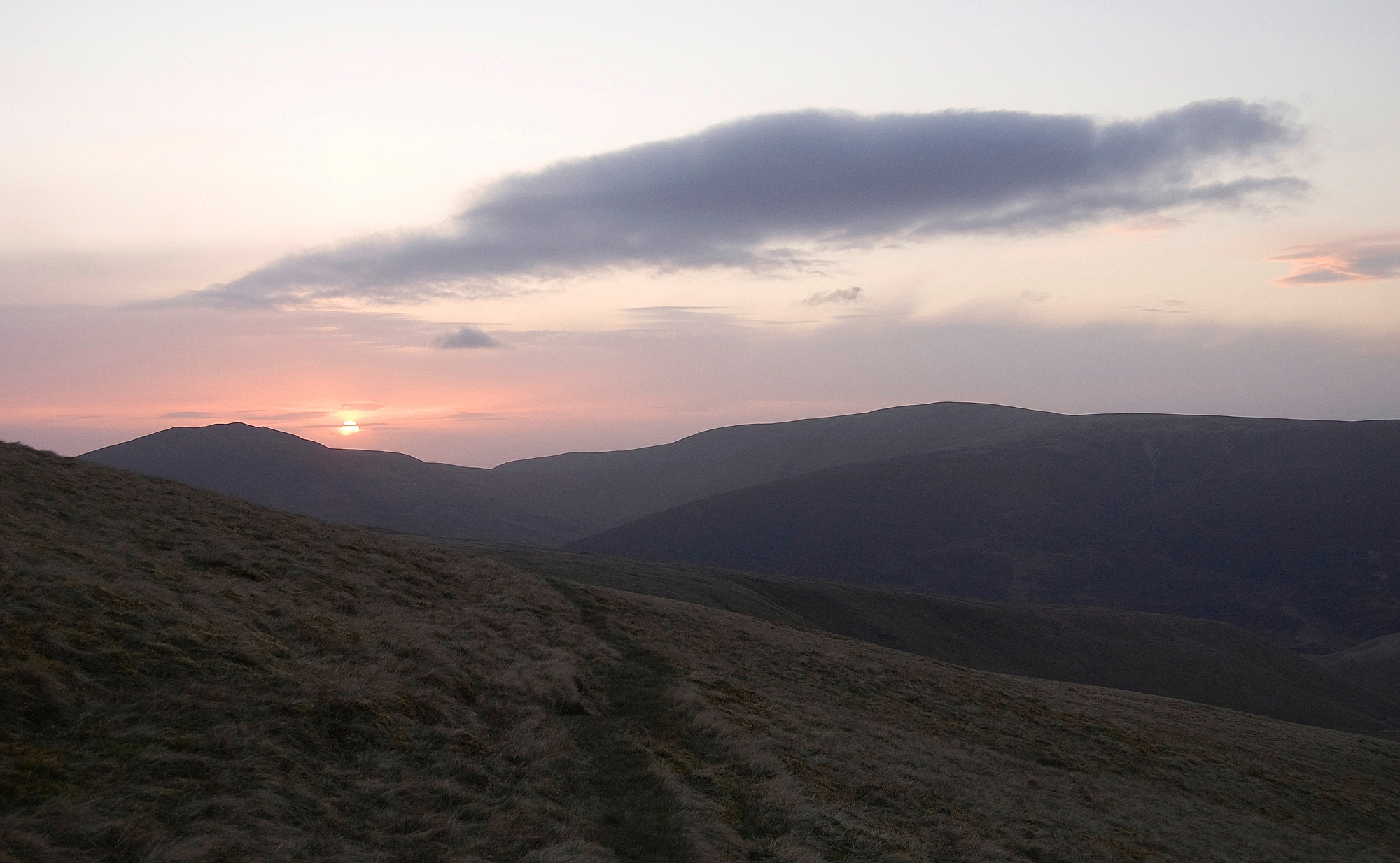
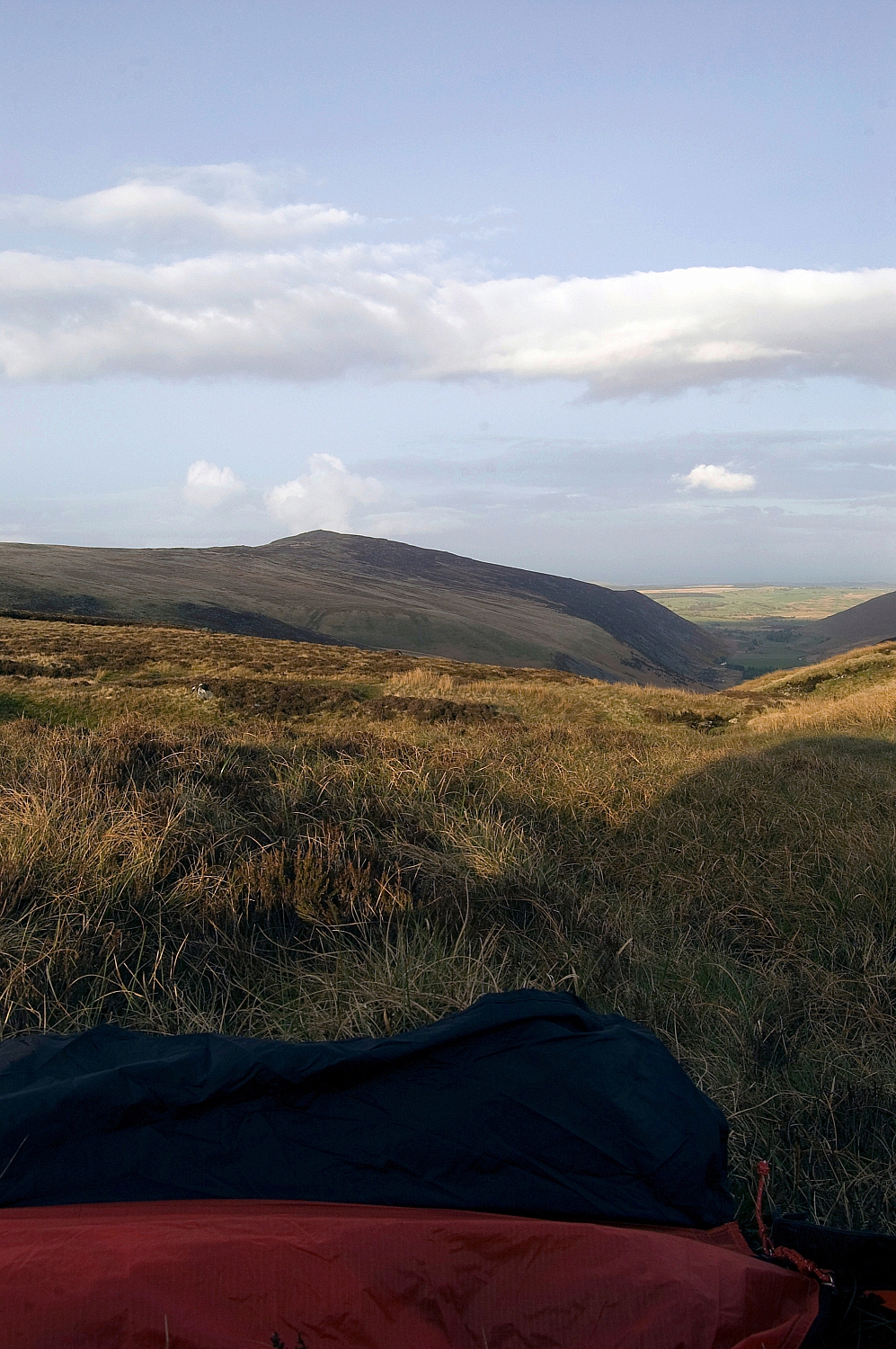
Friday dawned grey and damp but the outlook was fairly good even though the predicted snow wasn't going to become a reality:

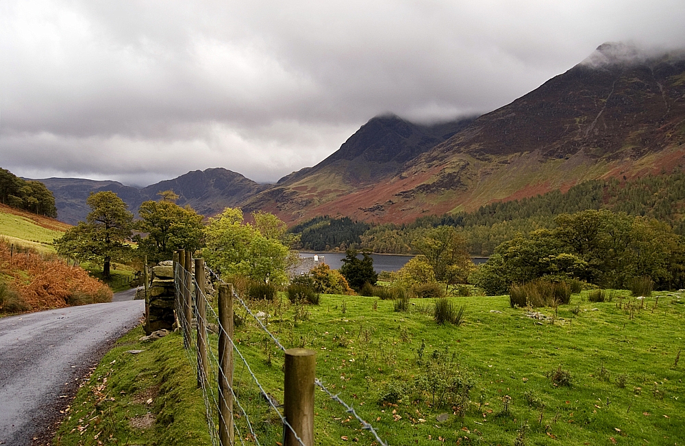
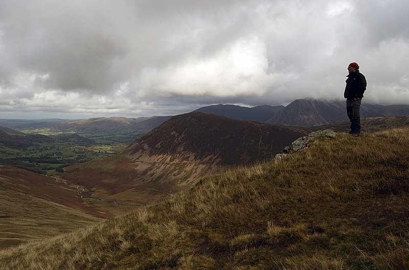
Looking towards Buttermere

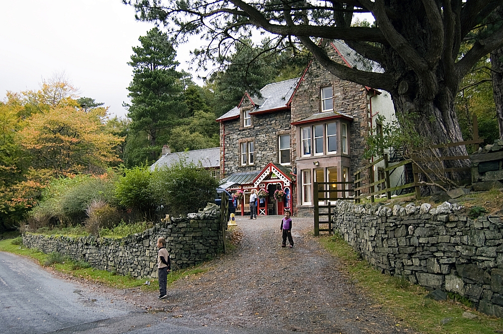
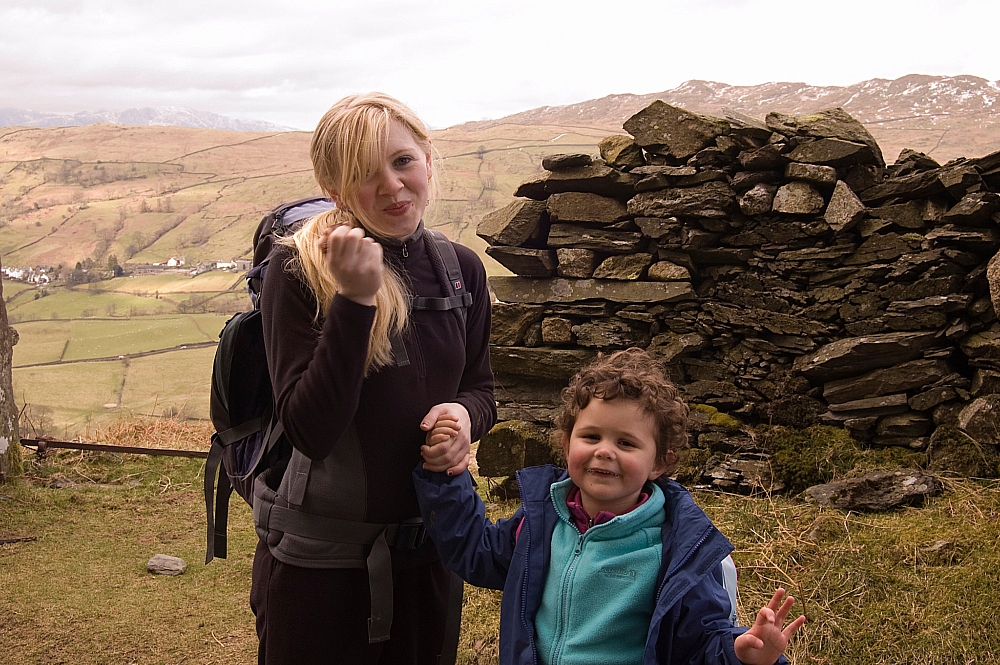
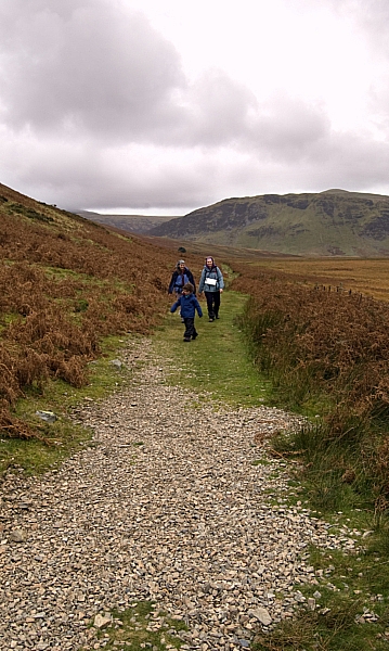
The kids at the hostel

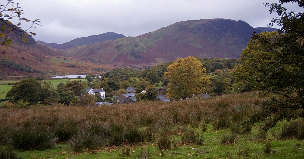
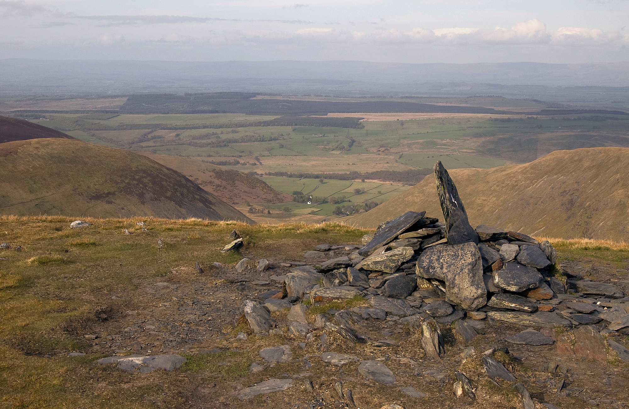
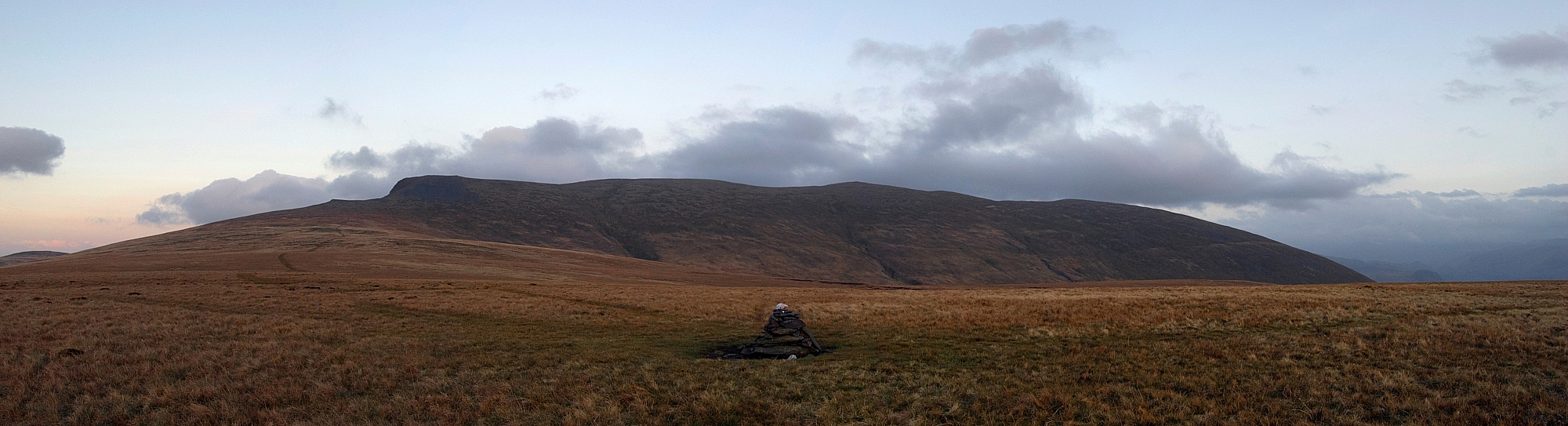
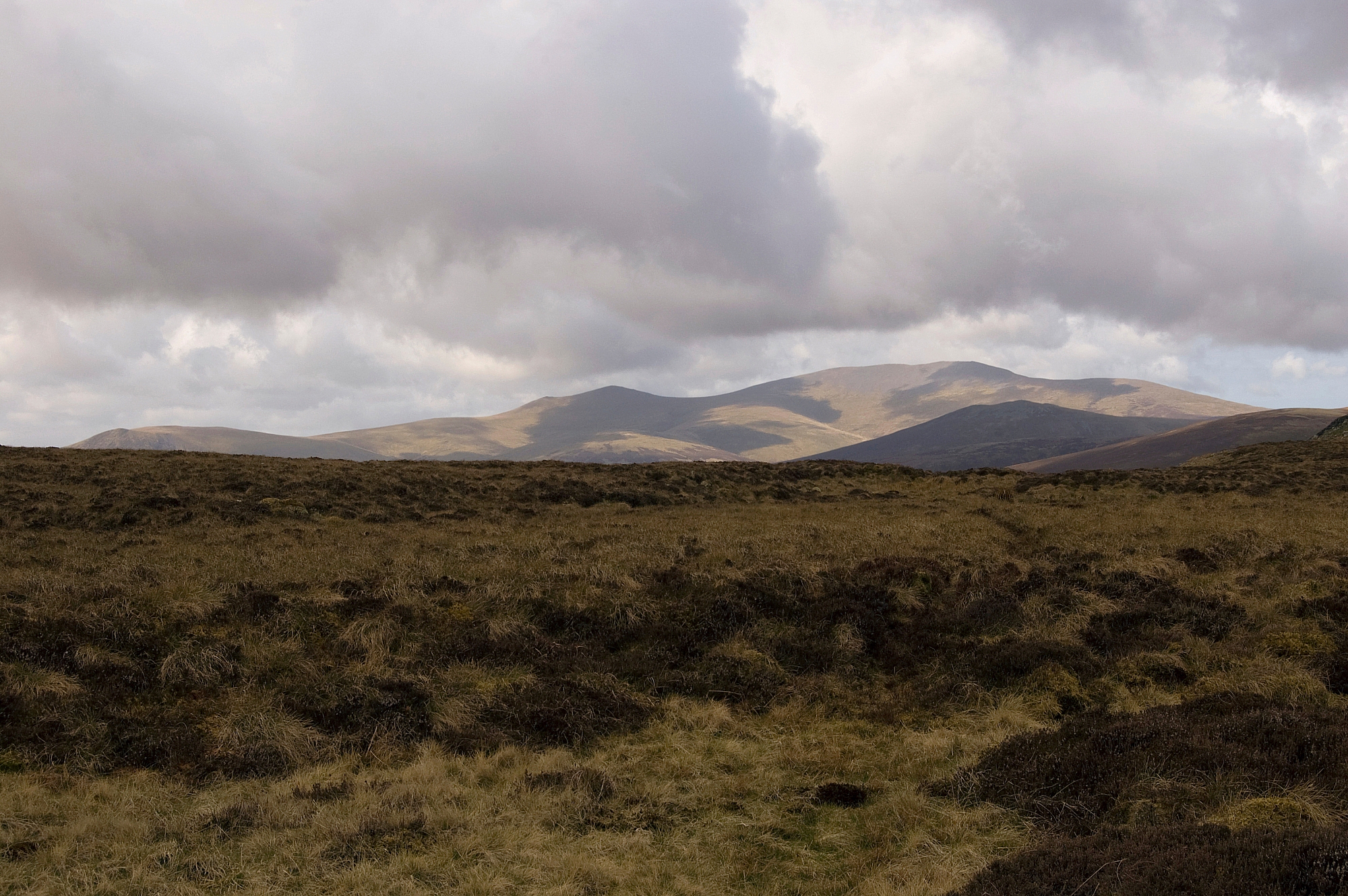
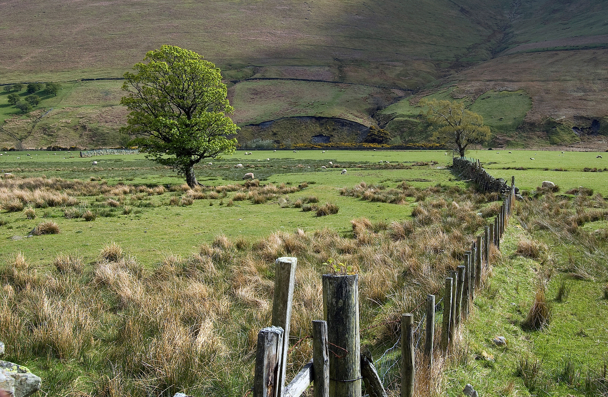
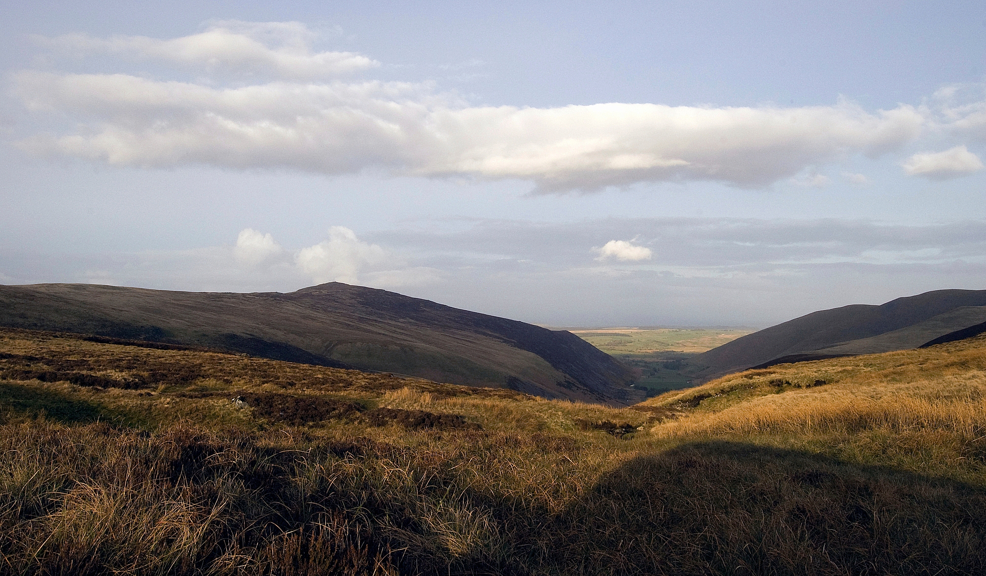
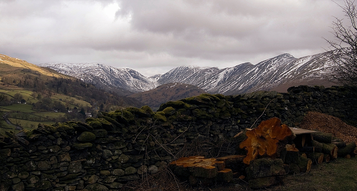
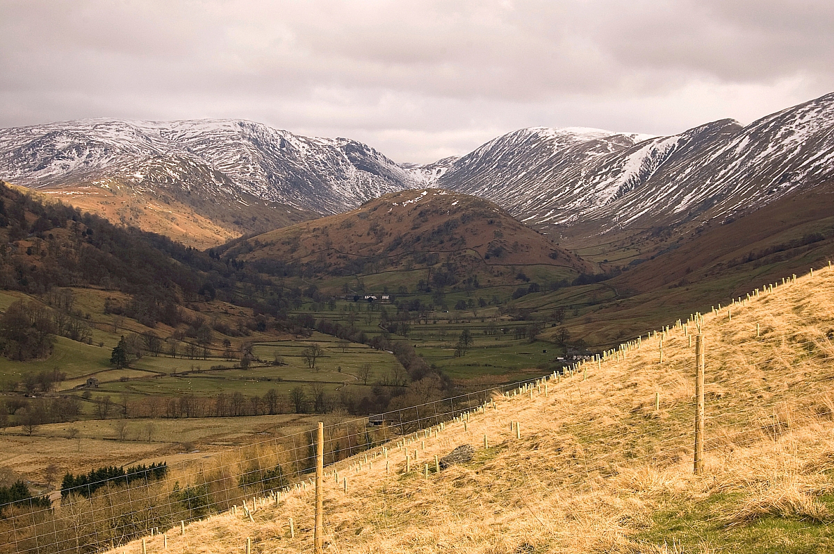
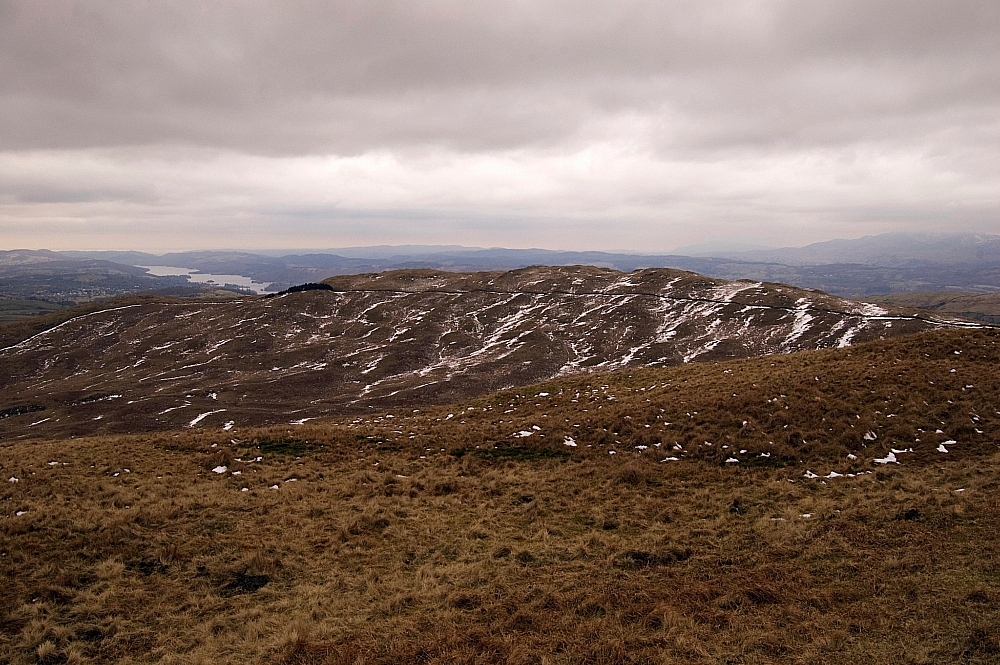
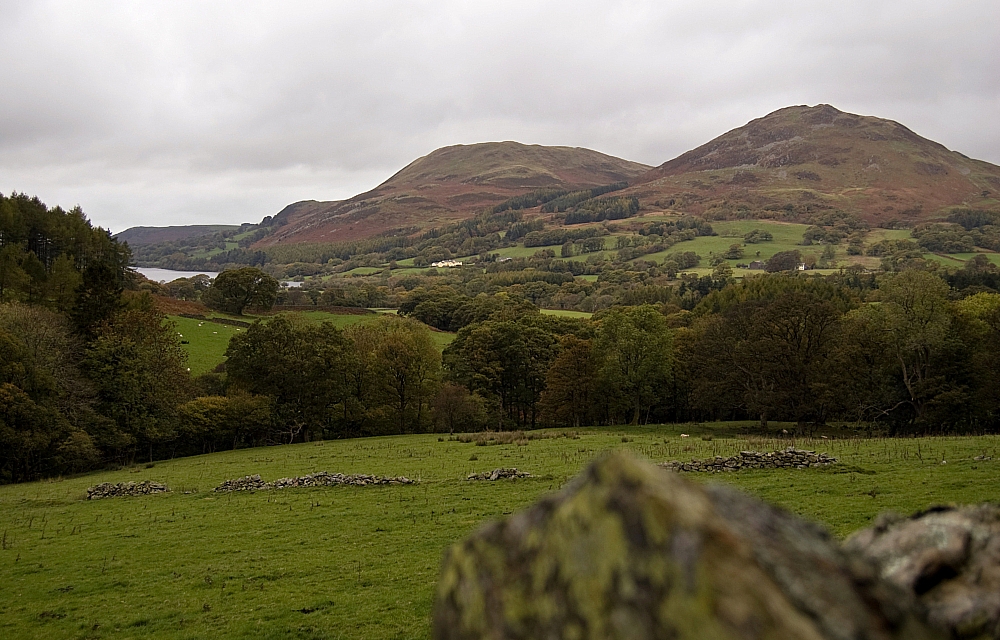
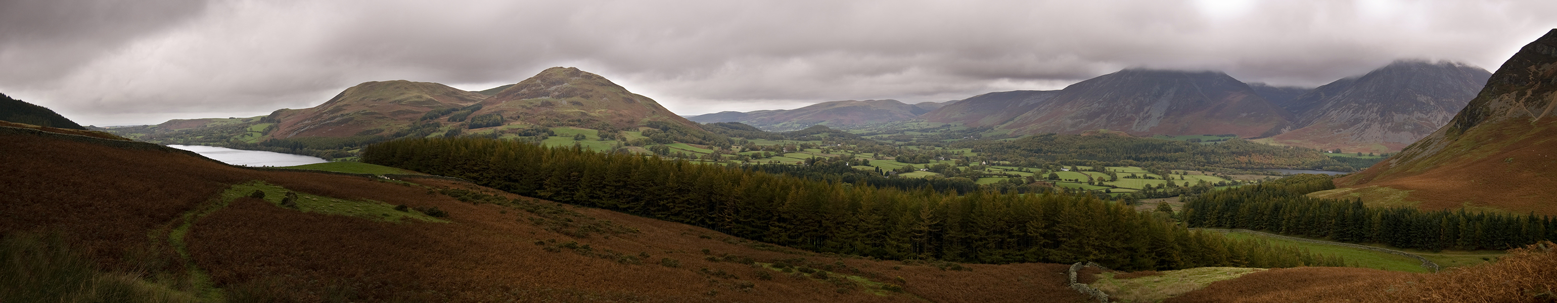
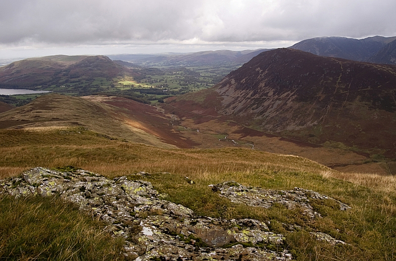
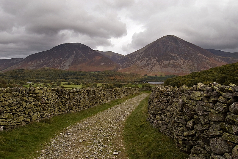
Looking over Buttermere village towards Hen Comb and Mellbreak

We had planned a fairly low and short walk with plenty of bail-out options in case the weather turned and we had to get the kids off the fells in a hurry, so after the usual 3-course hostel breakfast we drove off to Scale Hill, where life must be really boring for 16.666% of the boy-racer squirrel population...

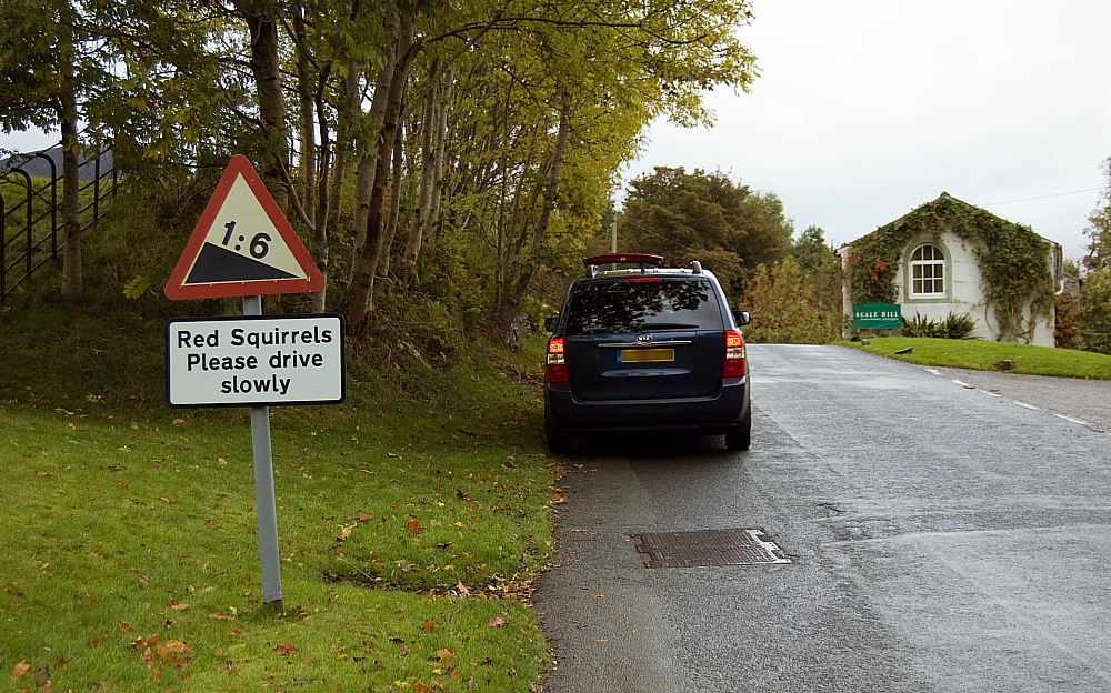
Discrimination against rodents

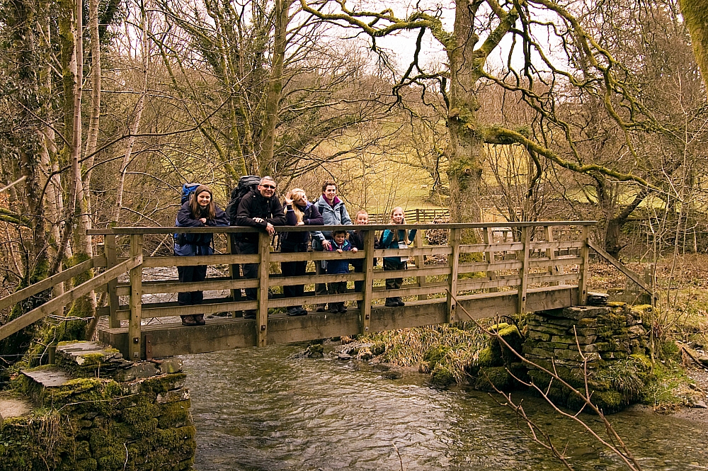
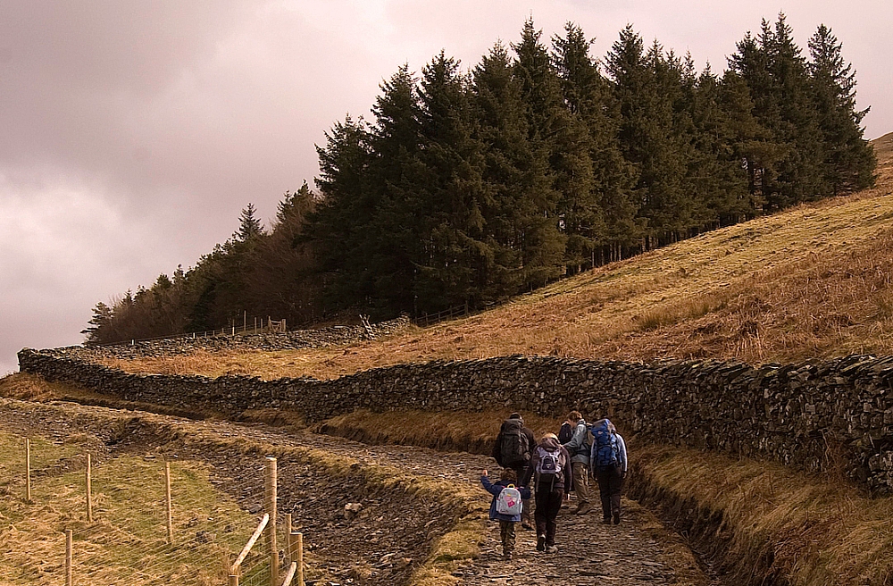
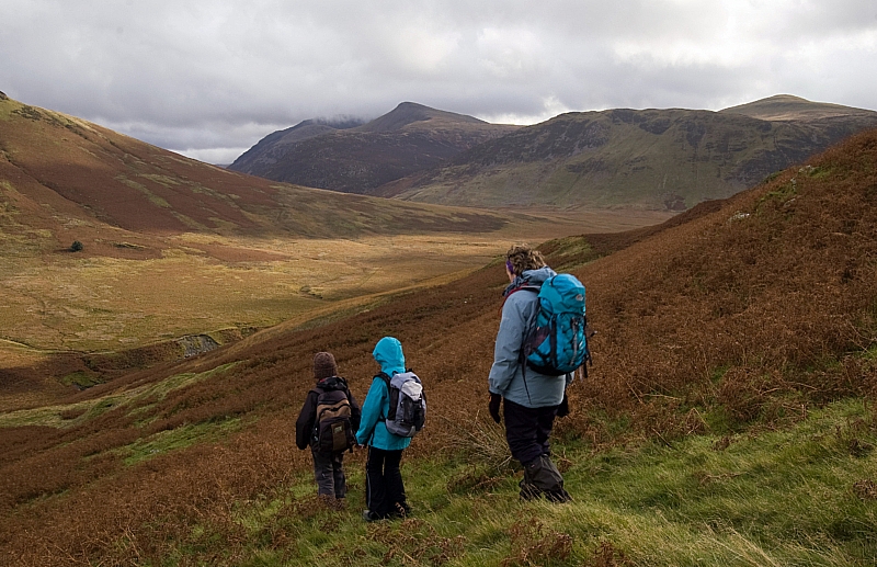
... and from there we headed to Loweswater and the start of the walk. We found a good parking place beside Church Bridge and got kitted-up for an ascent of Hen Comb:

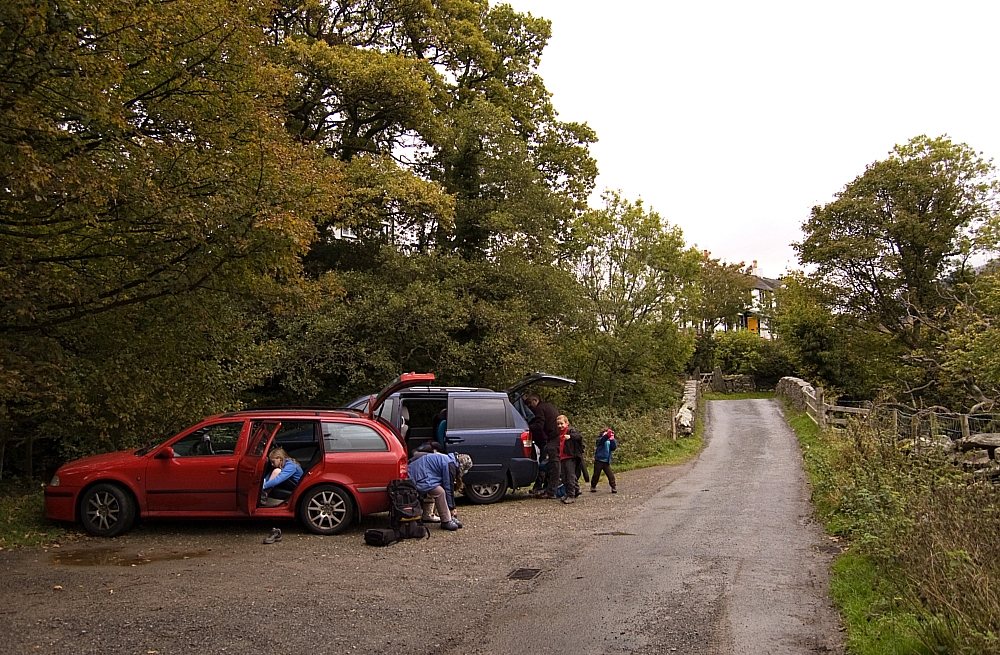
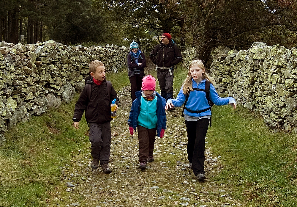
Prepping at Church Bridge

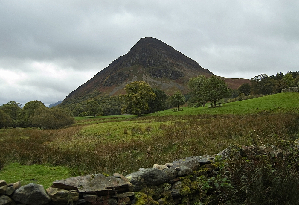
The north end of Mellbreak

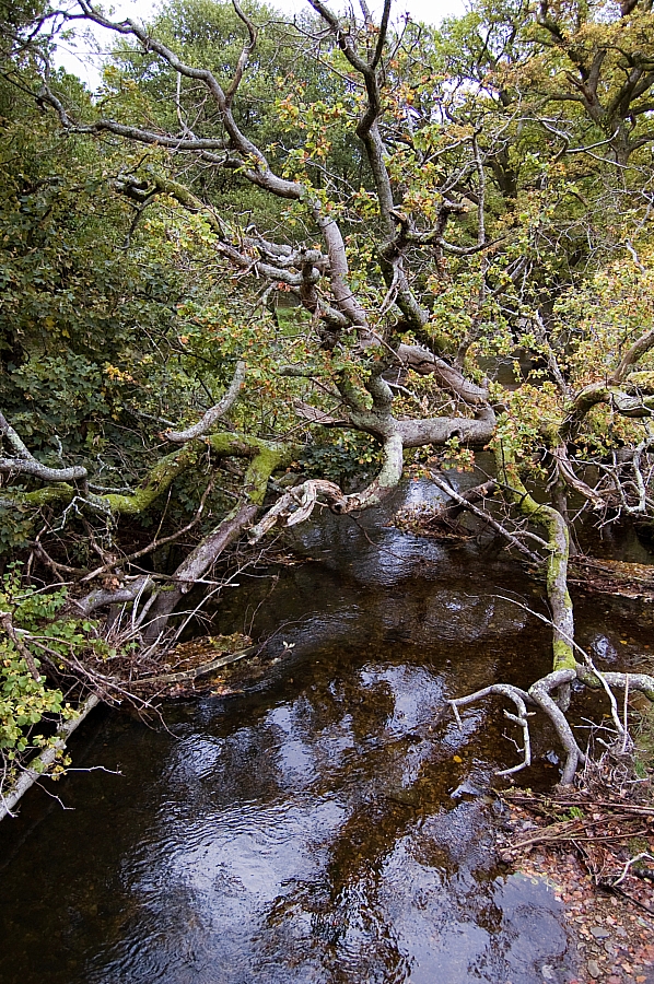
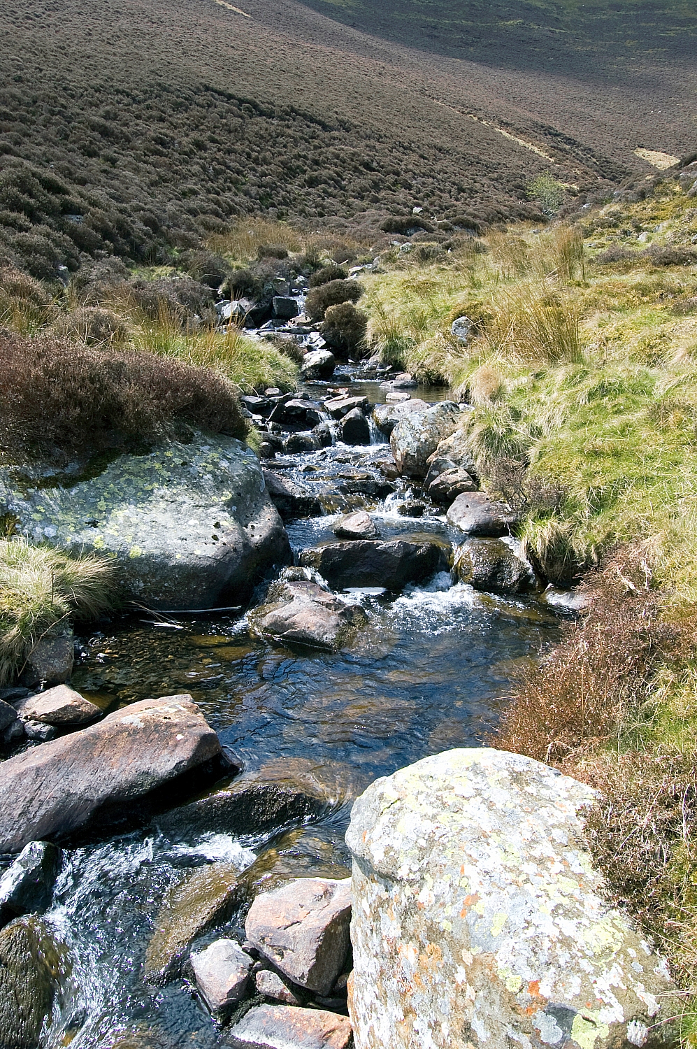
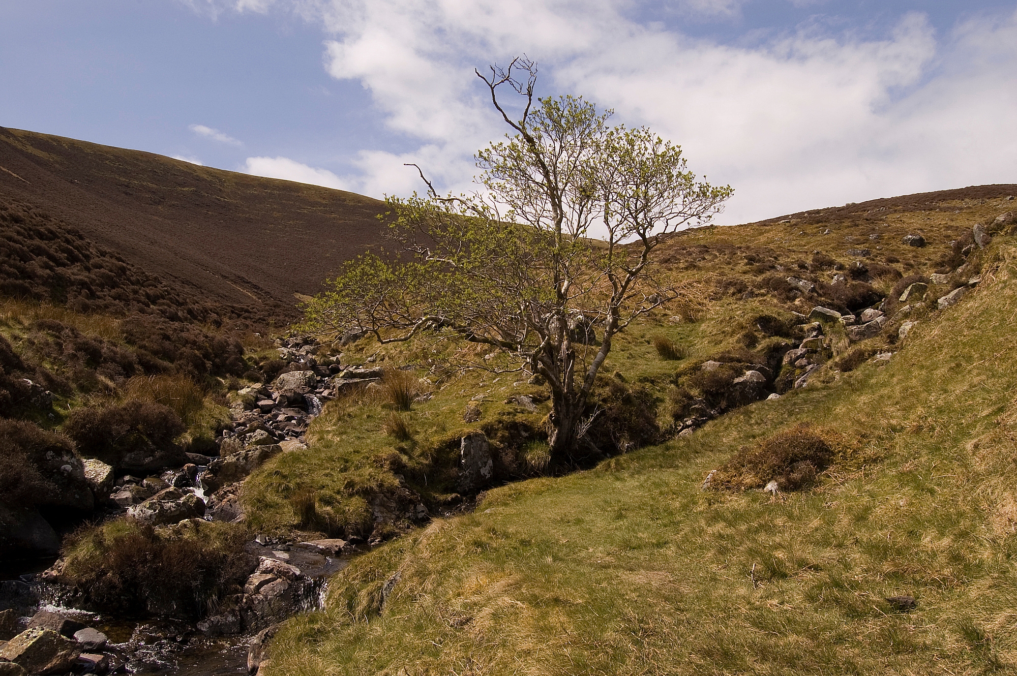
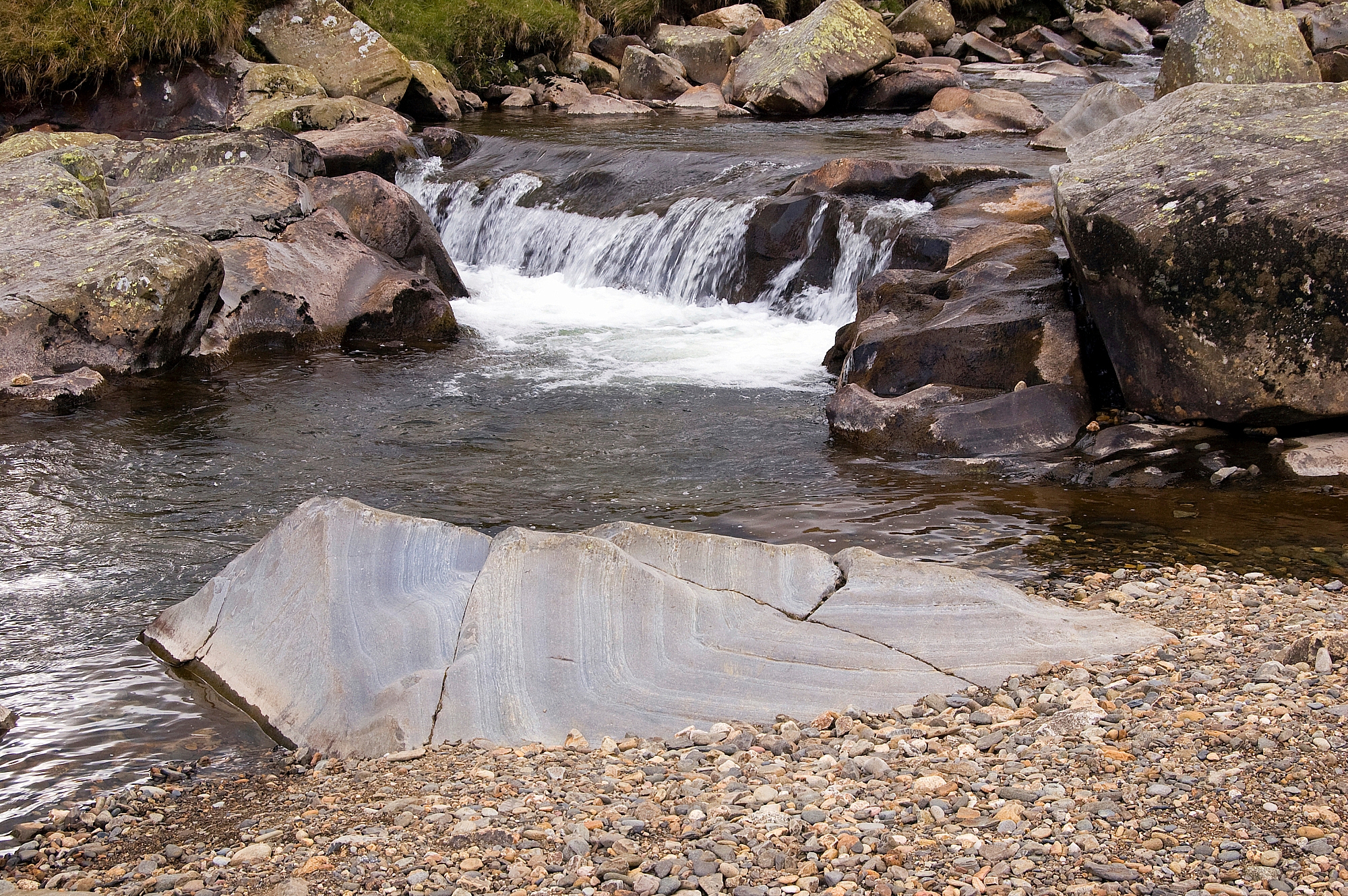
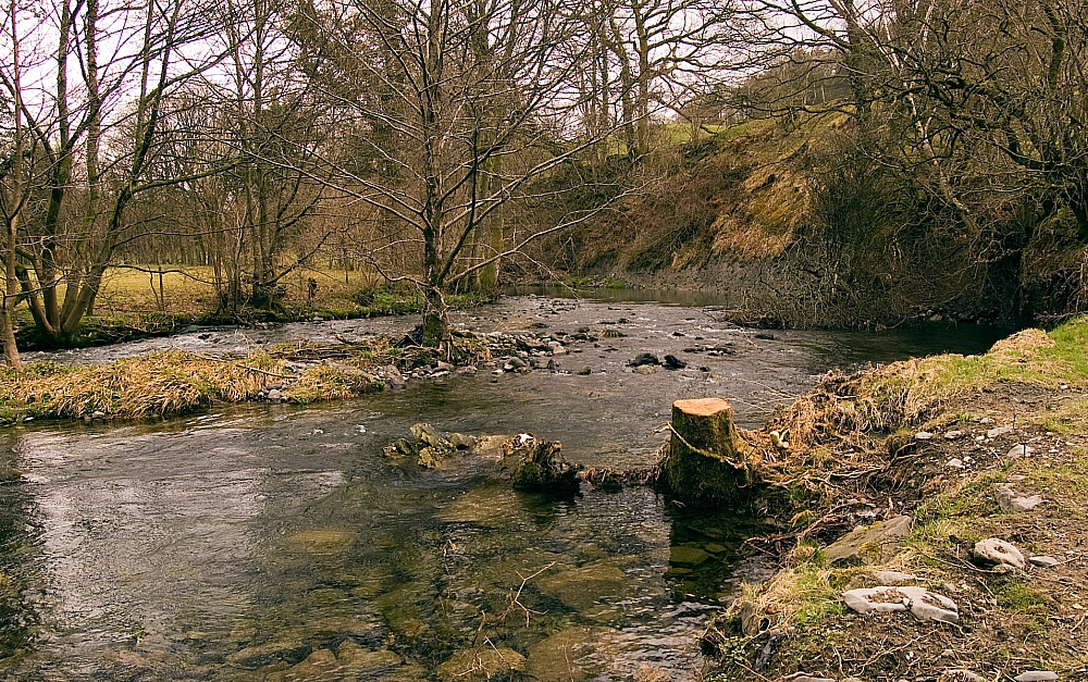
Fallen tree in Park Beck

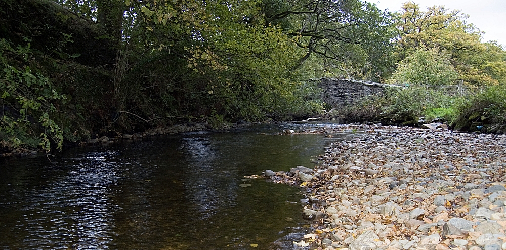
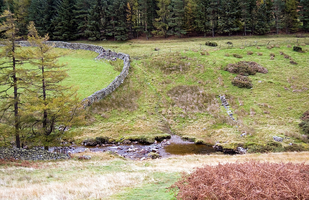
Park Beck and Church Bridge

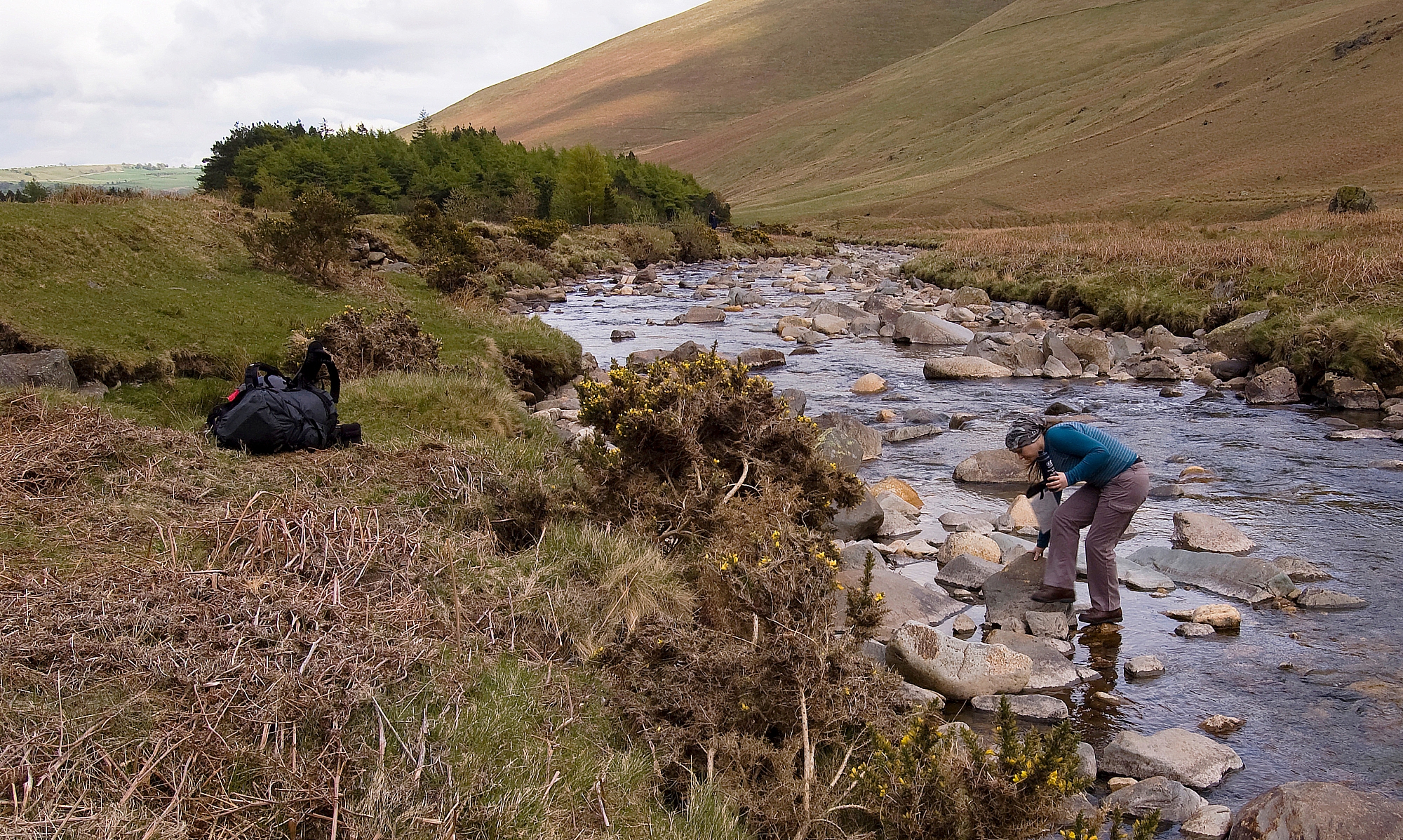
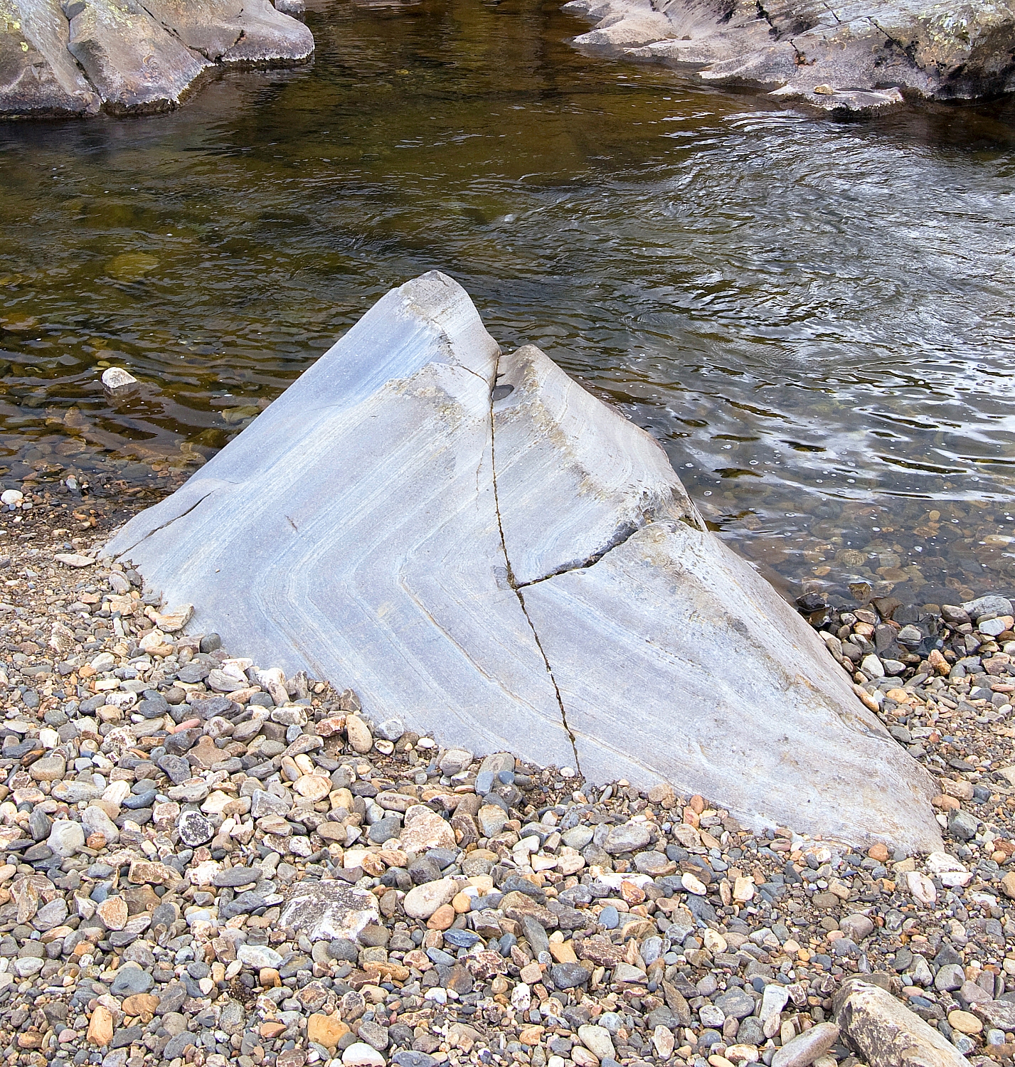
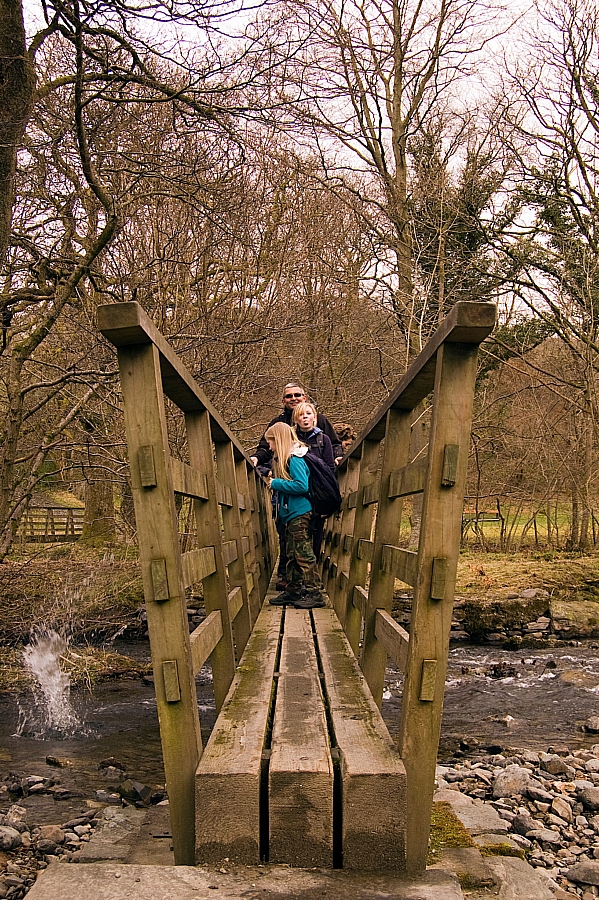
The section from Church Bridge to the ford was more interesting than the crossing of the ford itself - nobody fell in, probably because I had my camera ready:

Walkie-talkie

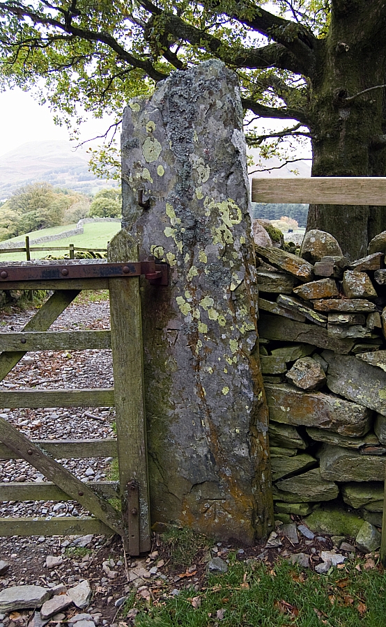
Stone gatepost with O.S. benchmark and other symbols

Loweswater Fell

Looking back after crossing Mosedale Beck

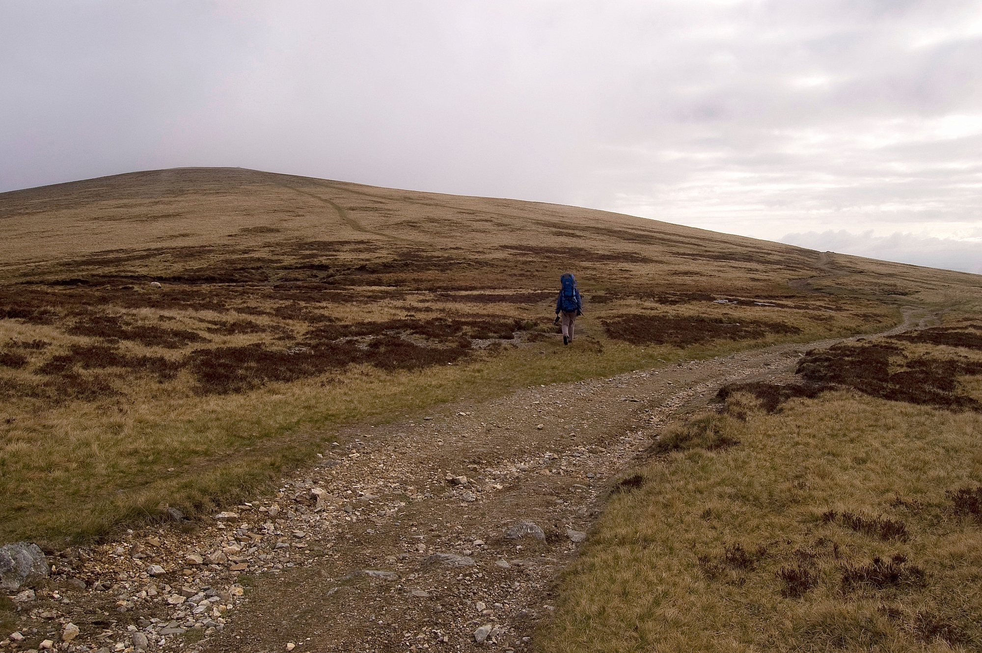
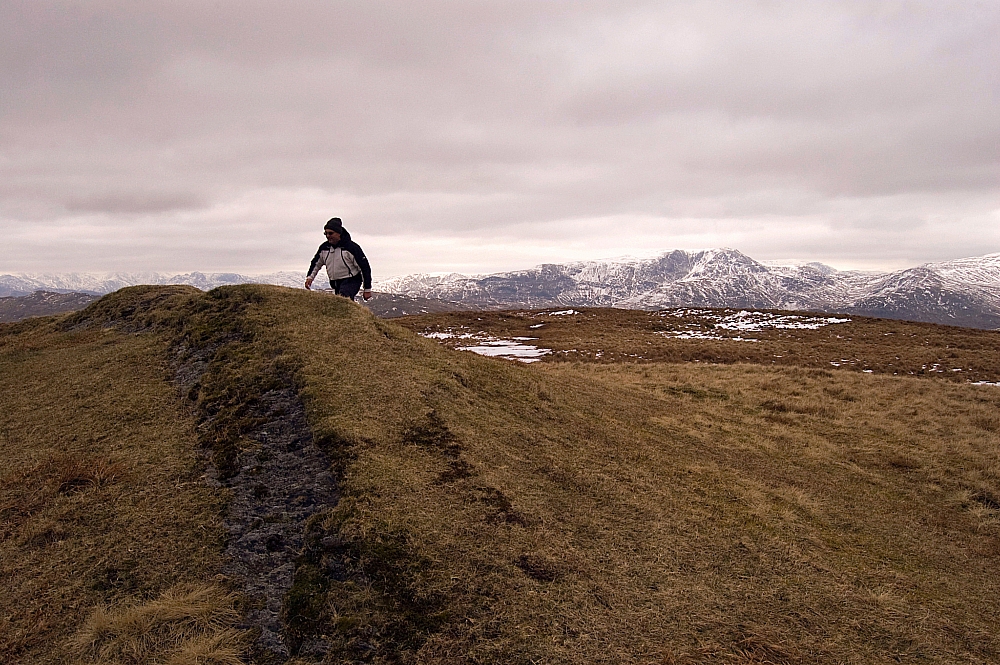
After gaining a bit of height the slope eased and the walking was easy for a while on a grassy track parallel to the ridge. There were things to see both near and far:

The Vale of Lorton

Pointing towards the improbably-famous Mosedale Holly Tree

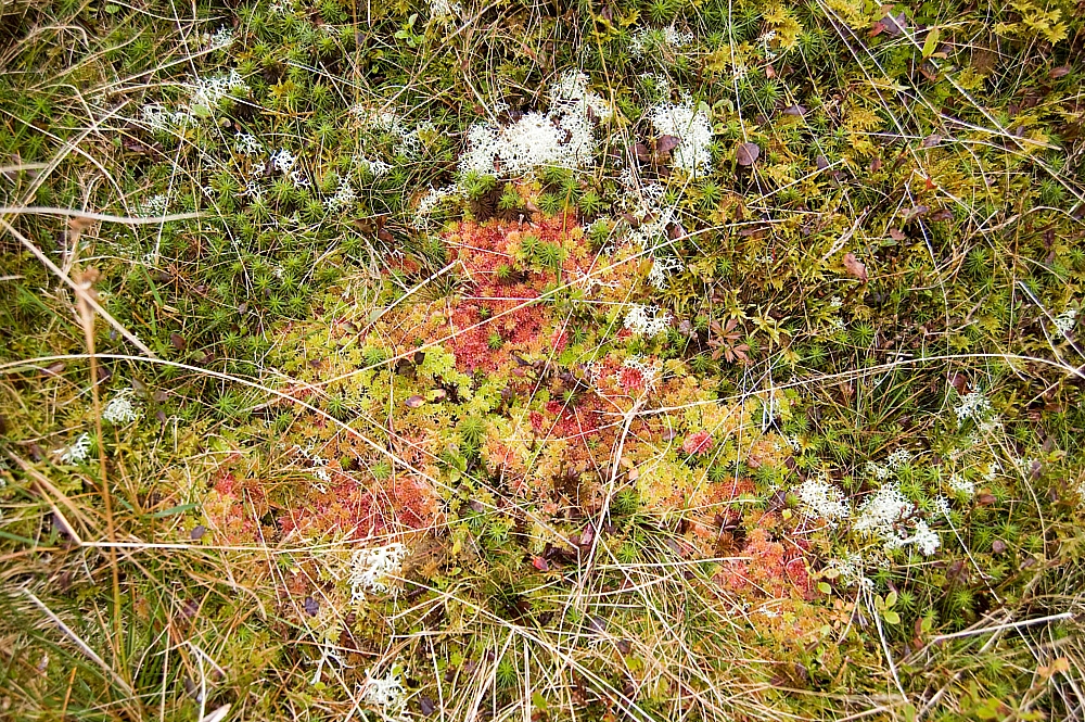
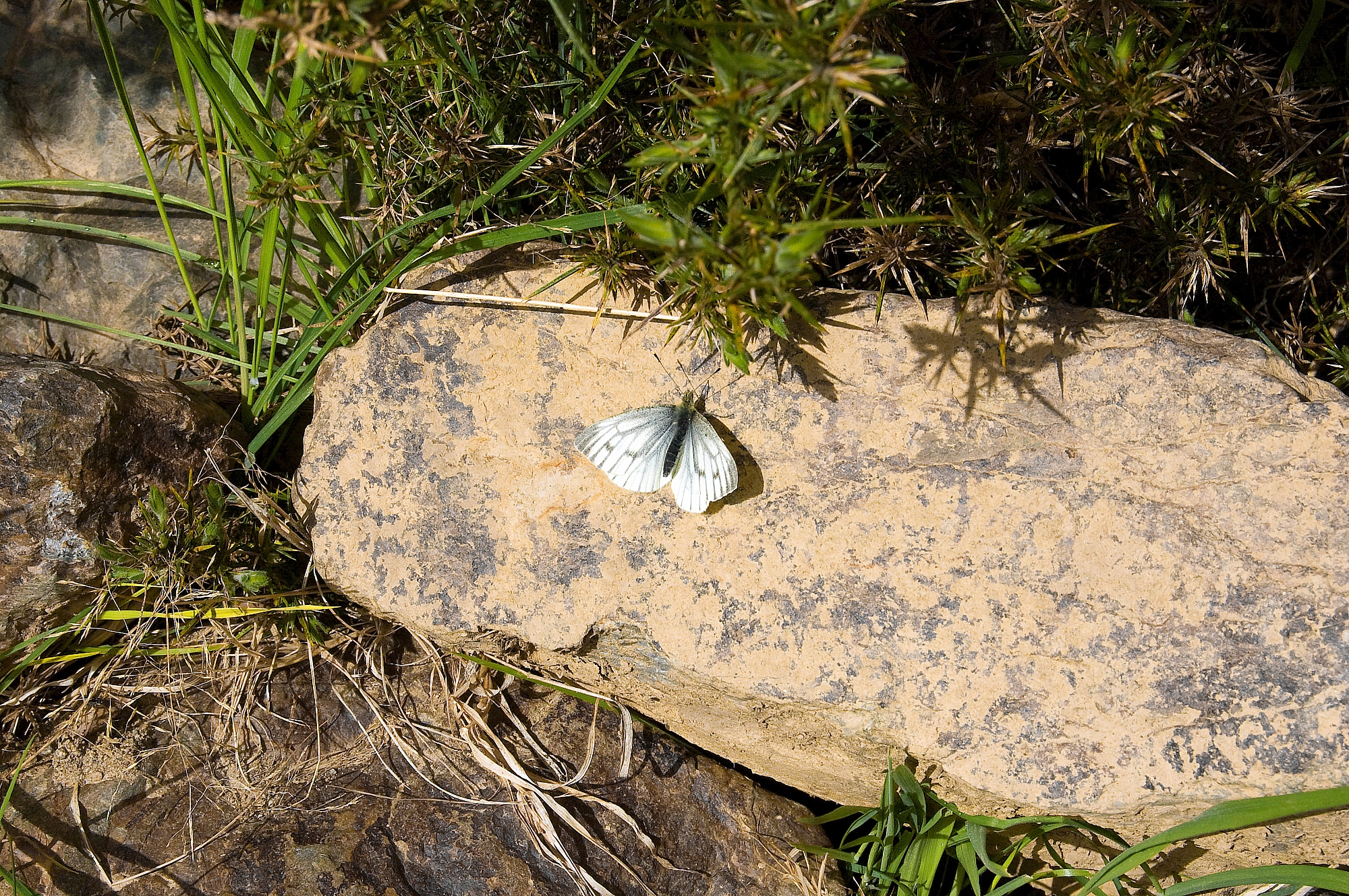
Colourful mosses, grasses and toadstools

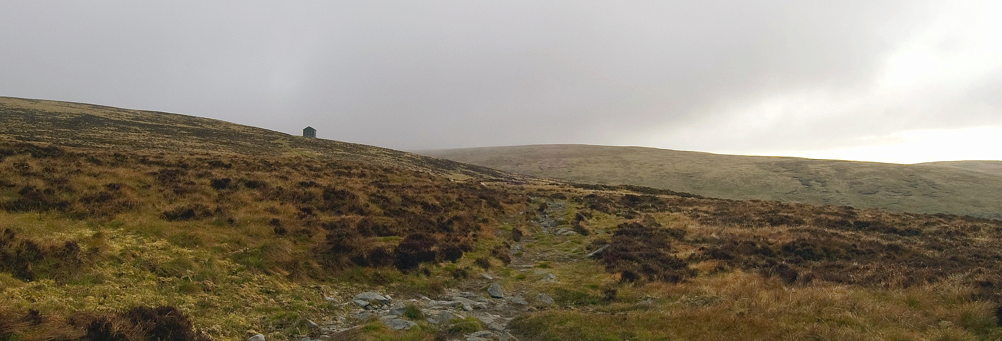
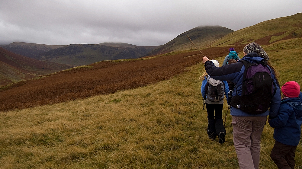
After gaining the ridge proper after the first sheepfold we had a snack-break at the gap in the fence. Next was the short pull up on to Little Dodd...

Heading on up Little Dodd

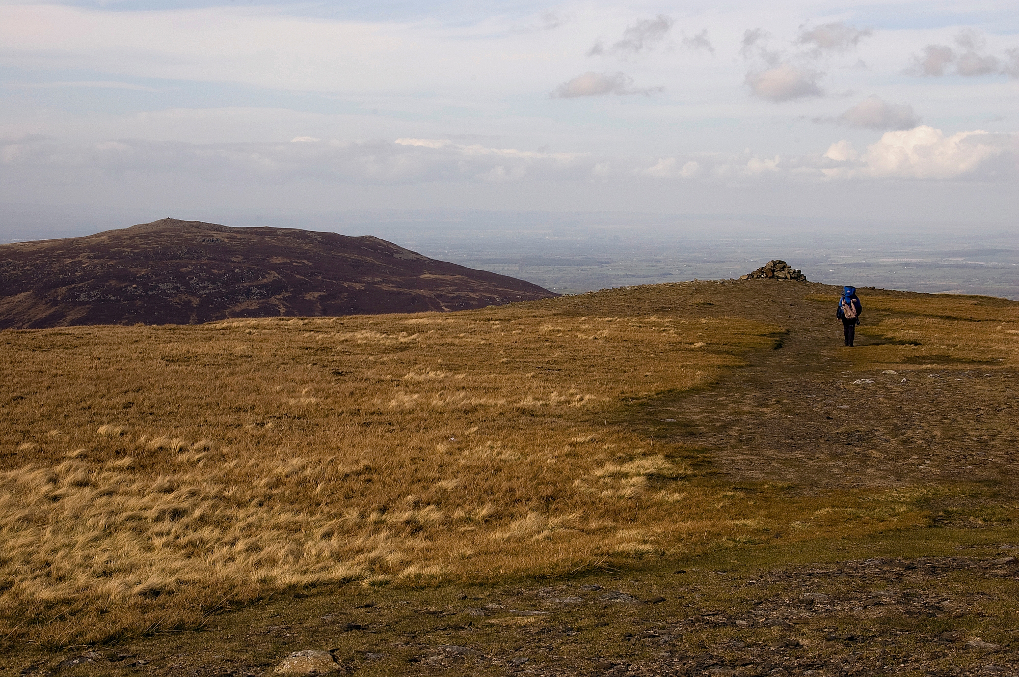
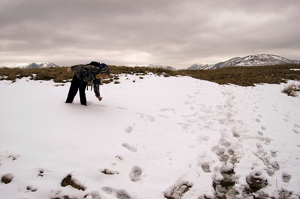
... from where the younger members of the party claimed that they could see a huge squirrel. It took us a while to figure it out:

The giant squirrel

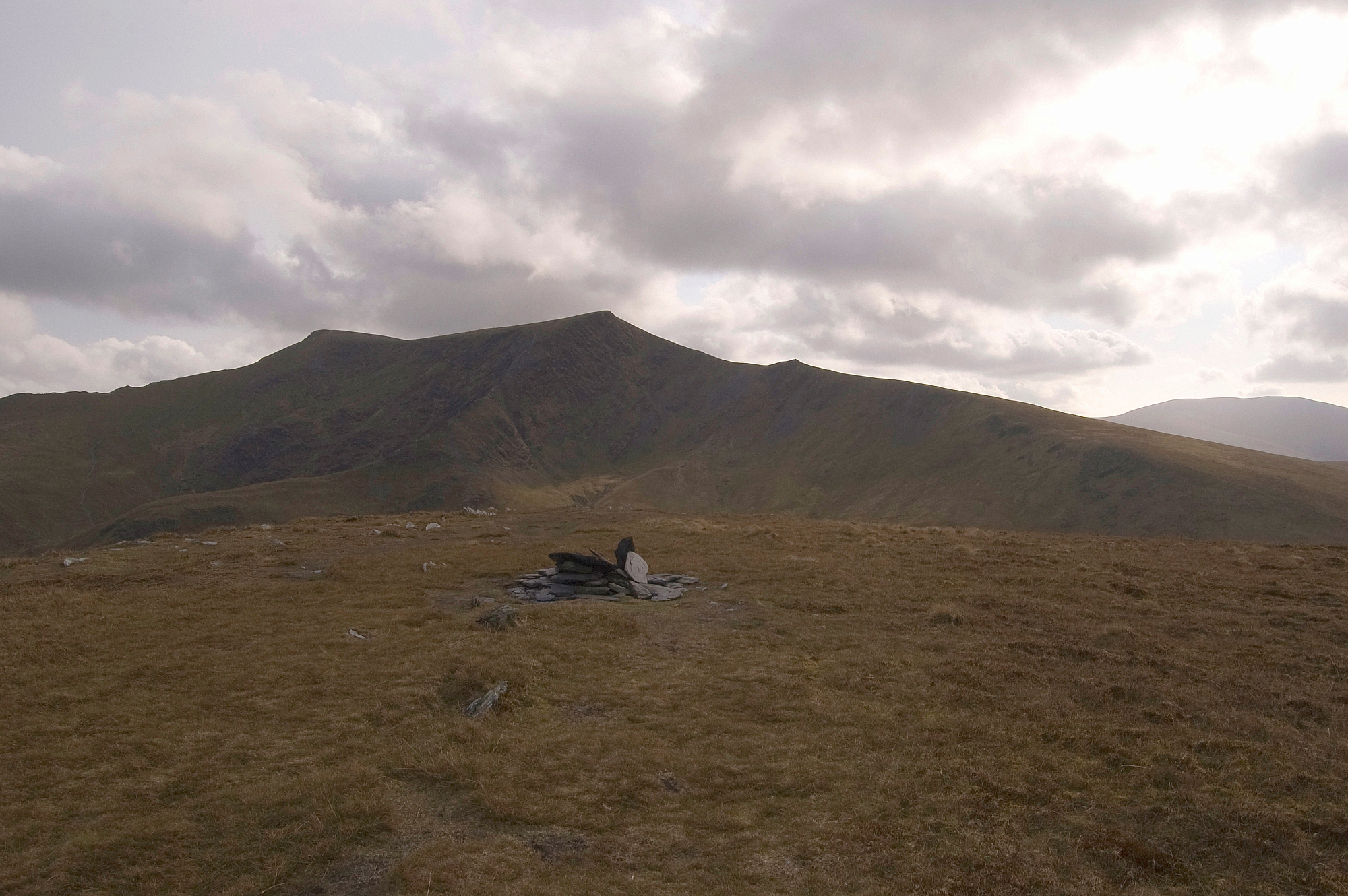
The view of Mellbreak was impressive too:

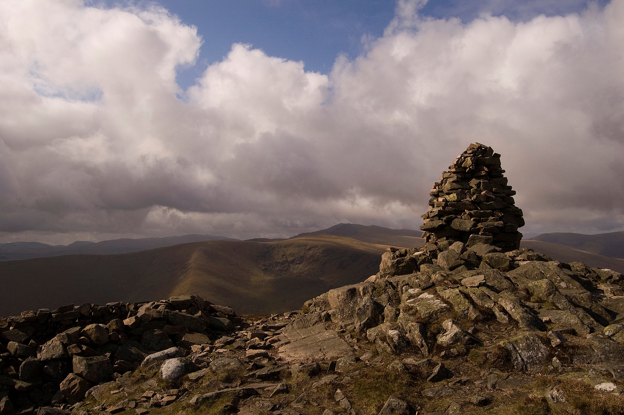
Mellbreak from Little Dodd

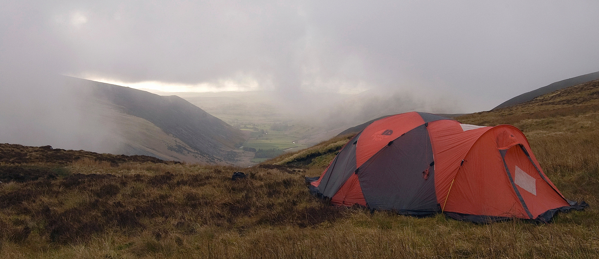
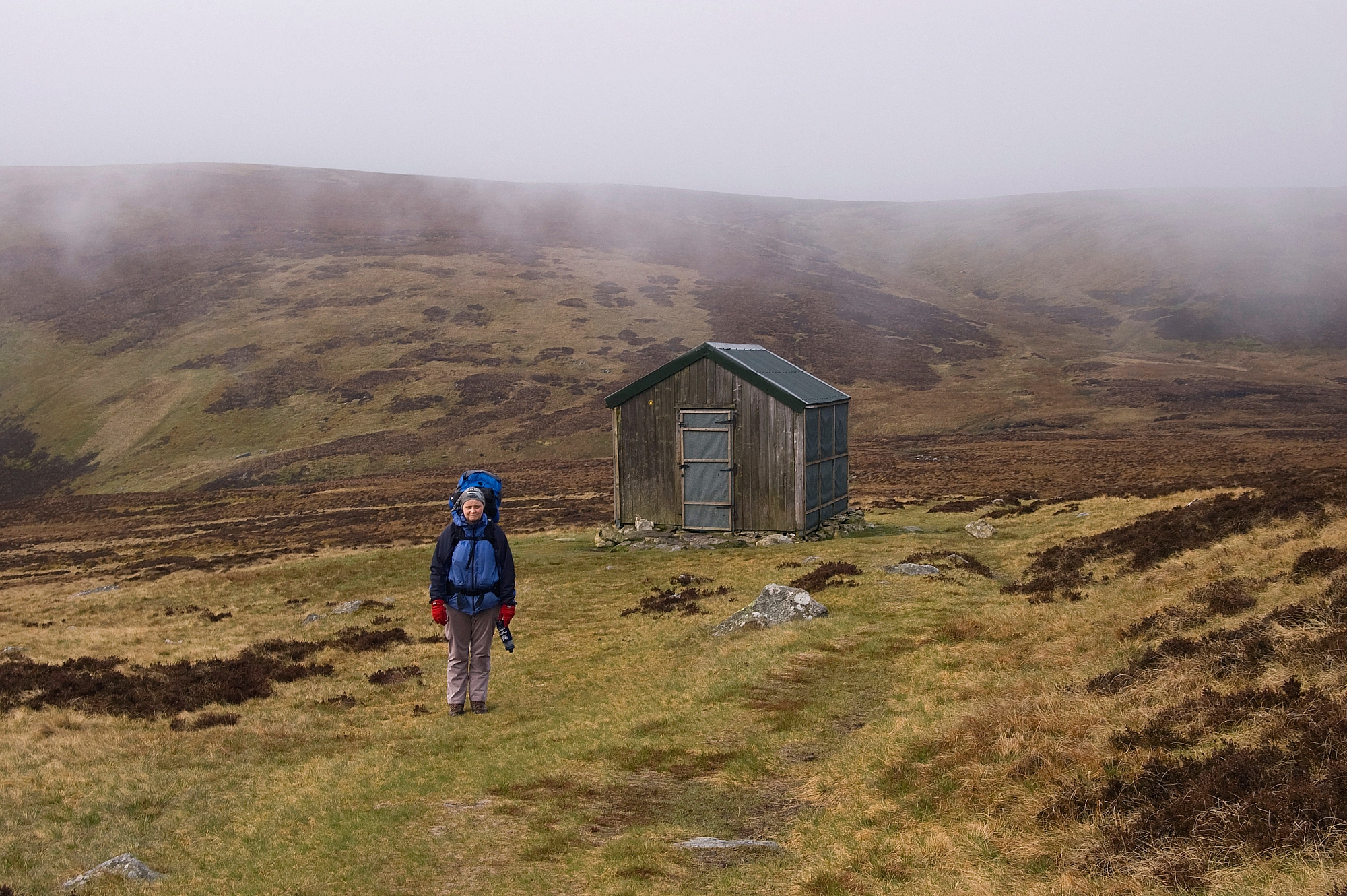
Just beyond the final fence and just below the final pull to the top of Hen Comb we pitched the 4-man bothy for the kids and had a proper lunchbreak. Some of the party had done enough ascending and wanted a rest before going back down, so the mums went off to the summit while the others stayed low for a while:

Toadstool and moss

Smile!

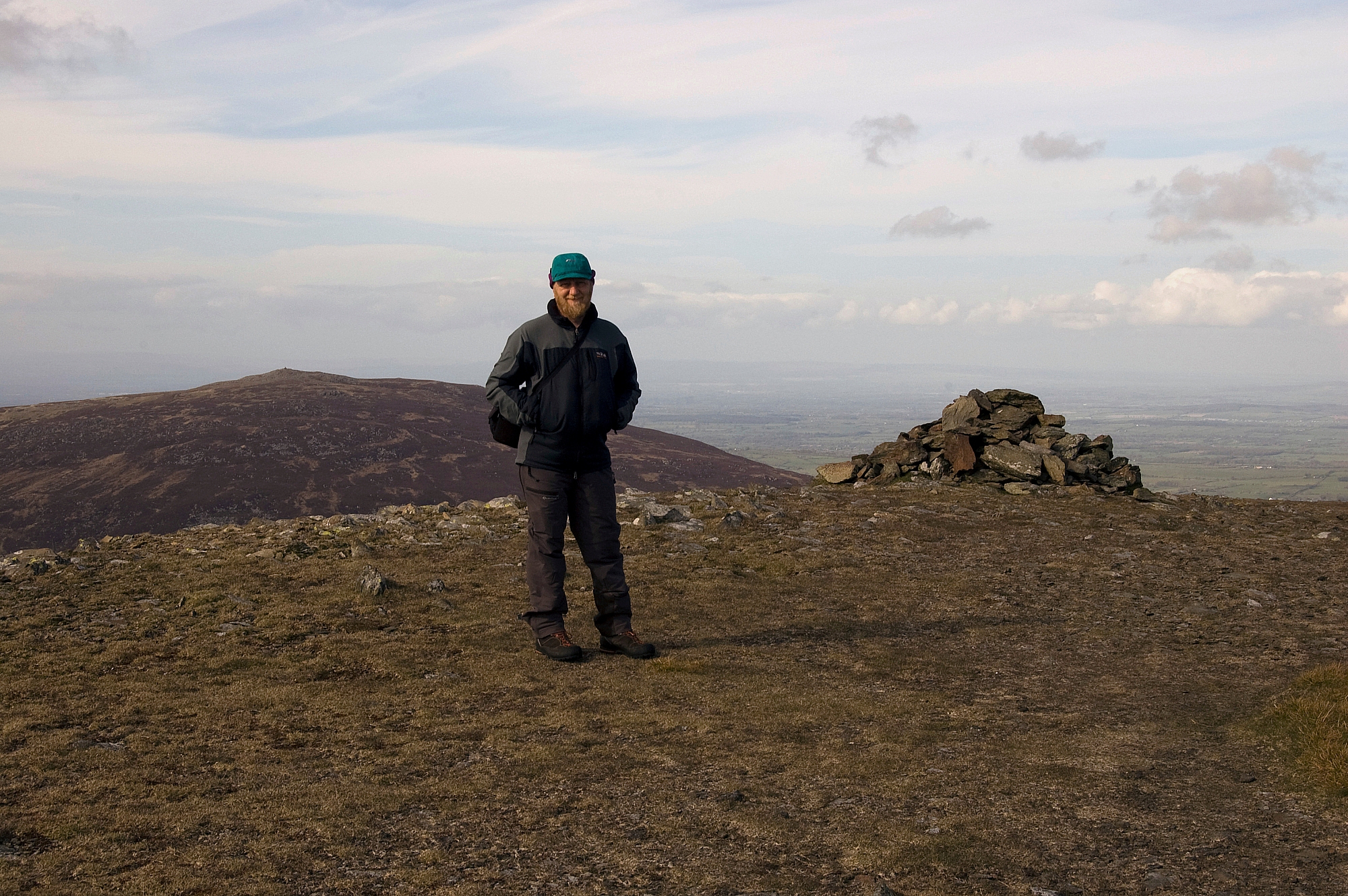
Geoff dons his "I'm in charge" Buff

Inca/Buff/Goth girl

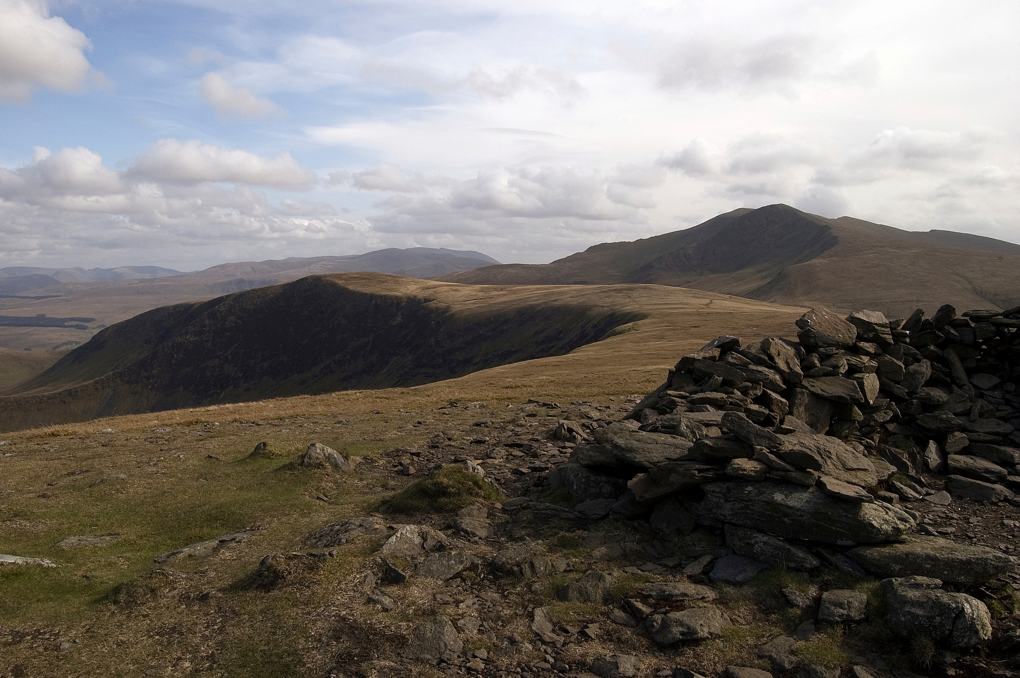
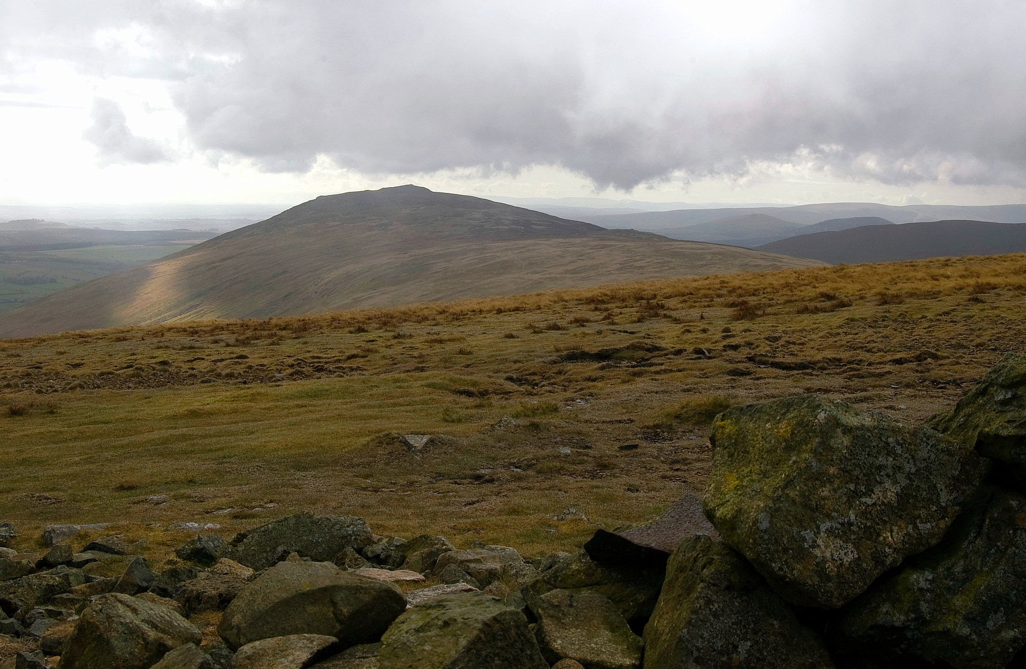
After a while the mums came back and I went up to the top with Geoff and Ella. The views from such a low top were surprisingly good:

Geoff surveying the scene

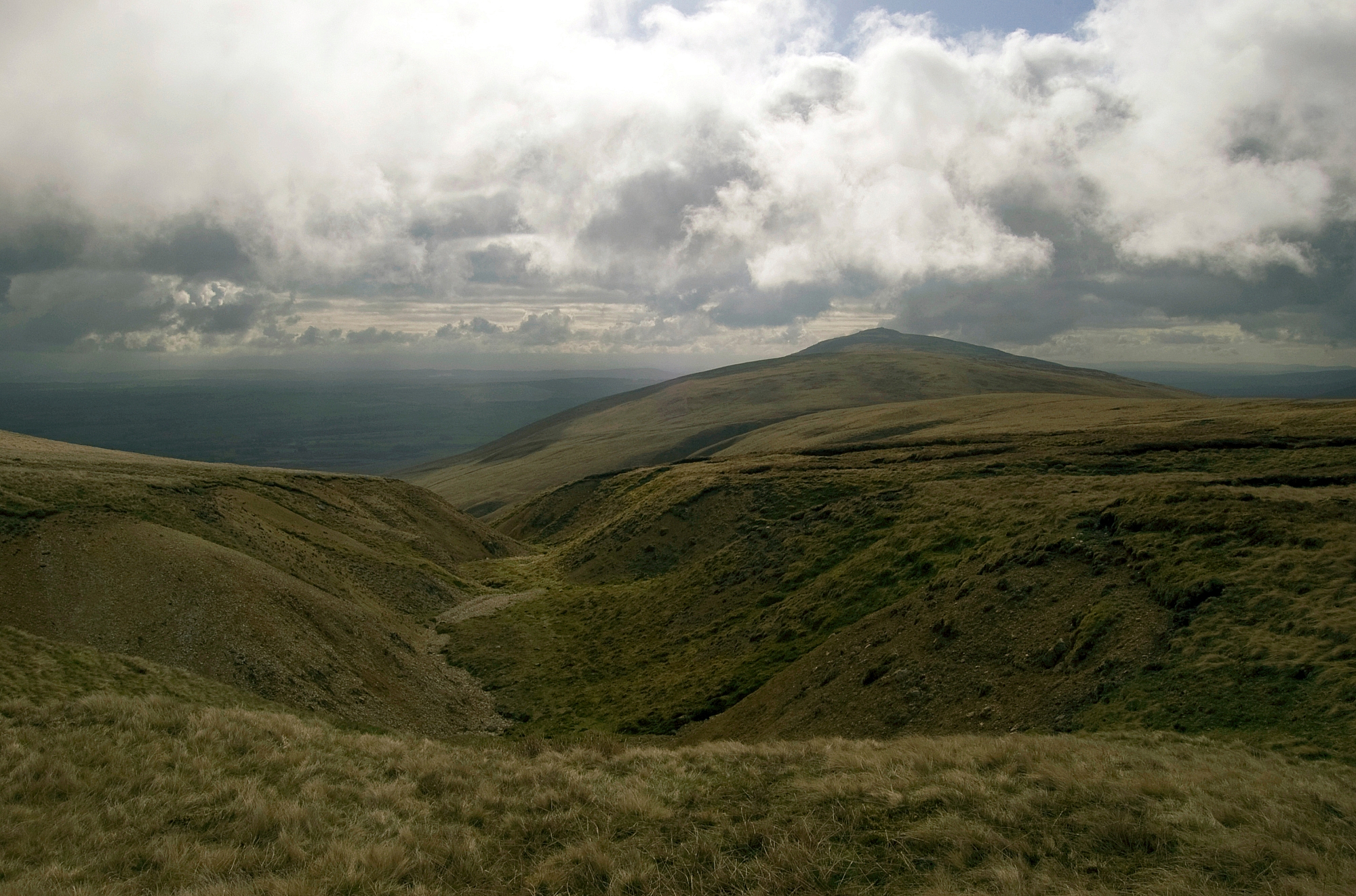
Whiteside, Hopegill Head, Grasmoor and Whiteless Pike above Mellbreak

The fells around Buttermere
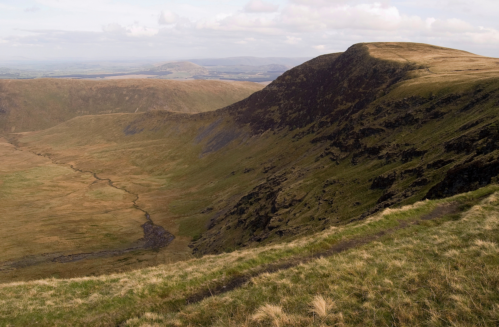
Mosedale

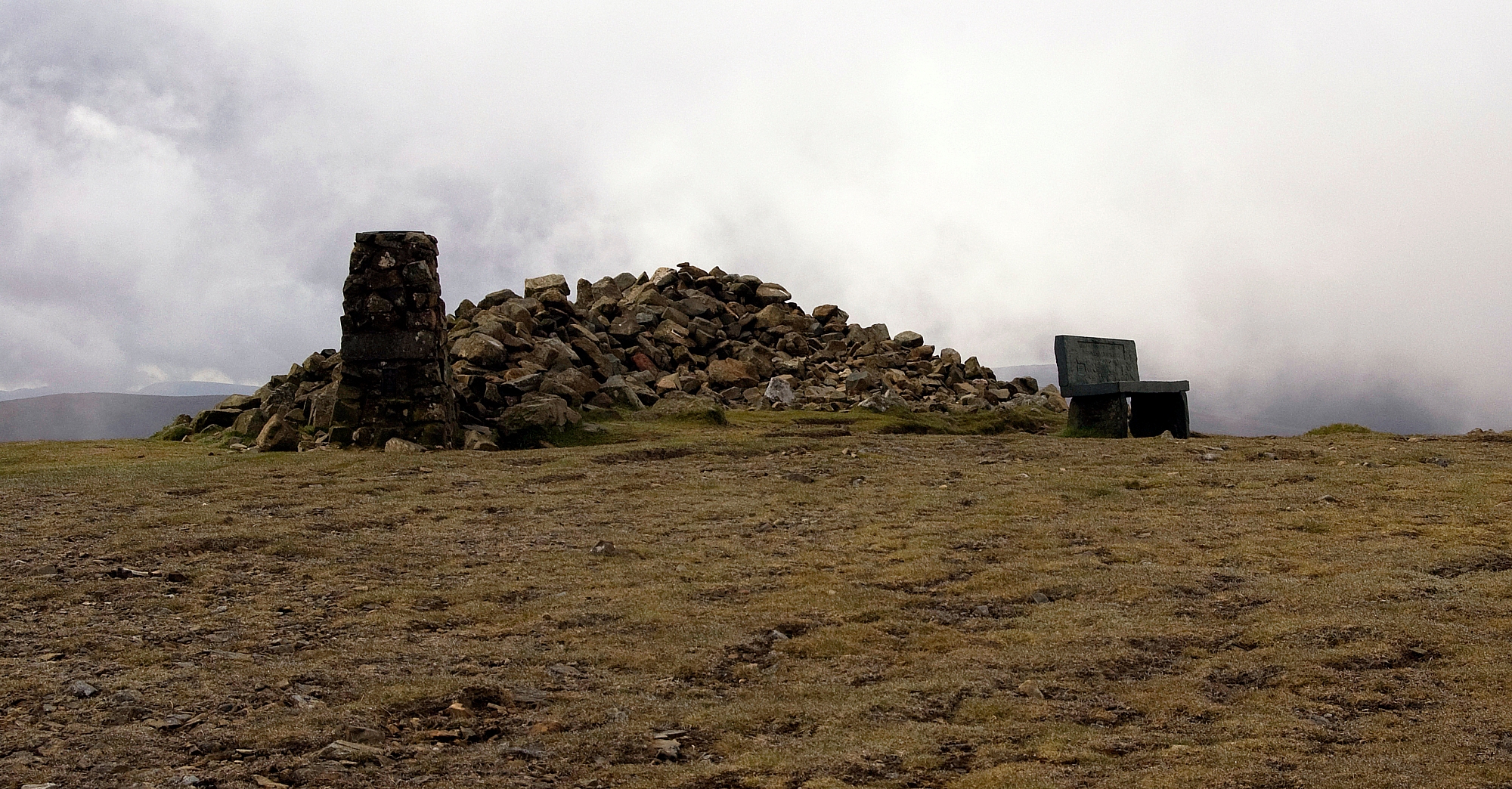
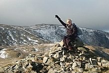
Ella adorning the summit outcrops

After regrouping and breaking camp our navigator opted to lose height sooner rather than later, so we headed down off-piste towards the old mine workings on the eastern flank. There was a lot of bracken to be negotiated, mainly pathless apart from the odd sheep-track, and getting closer to the improbably-famous tree was little compensation. Of course as we got lower the bracken got taller, until the youngest of our group was unable to see either over or though it:

Bracken-clad slopes

Meanders in Mosedale Beck

More pathless bracken

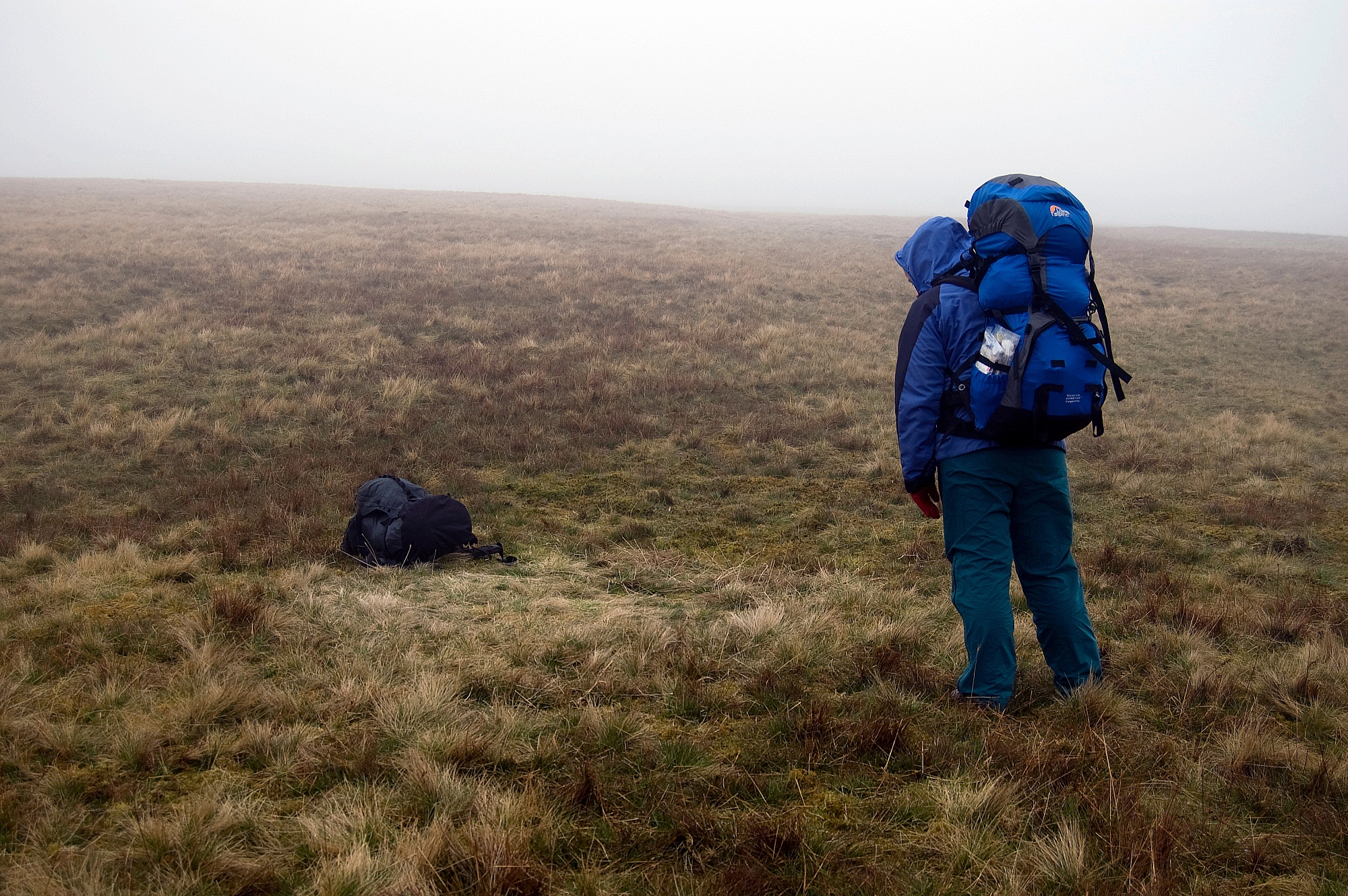
The Pathfinder Corps

Eventually we got down to the beck and while the others had a breather the blokes went off to look for a suitable crossing-place. Finding no easy stepping-stones we decided to make our own, and spent ten minutes rearranging and adding to the riverbed. While performing this feat of civil-engineering, we discovered that the tussock-grass alongside the beck is a favourite place for weasels. Sadly I have no pics of any of this, as I'd stashed the camera in the pack in order to keep it dry in the event of an inadvertent dunking.

After we'd completed the structure we got the party across, the only incident was one dunked foot, nothing of any consequence compared to the next bit...

Our navigator, the one who had decided that off-piste was OK, had assumed that the ground on the far side would be the same as that on the nearside, i.e. firm and dry. Nope, not a bit of it. It was chest-high tussock-grass with knee-deep bog-holes in between. Geoff had to carry his youngest, and a couple of times they jointly face-planted the marshy ground as Geoff persisted in finding the deepest bog-holes. Of course, we all found it hilarious and did little to help him. Eventually we got to the fence alongside the Mosedale track and breathed a sigh of relief - it had taken us 20 minutes to cover less than 200 yards. Geoff added to his tally of woes by breaking a fencepost as he tried to lever his marsh-ridden frame over the metal railing, so we all laughed again!

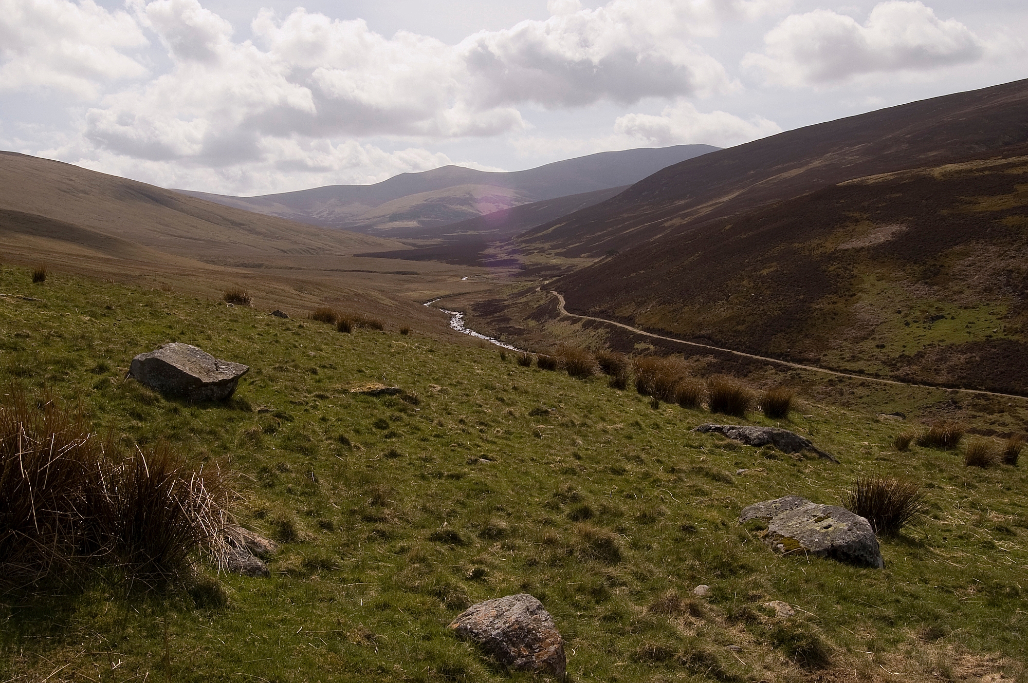
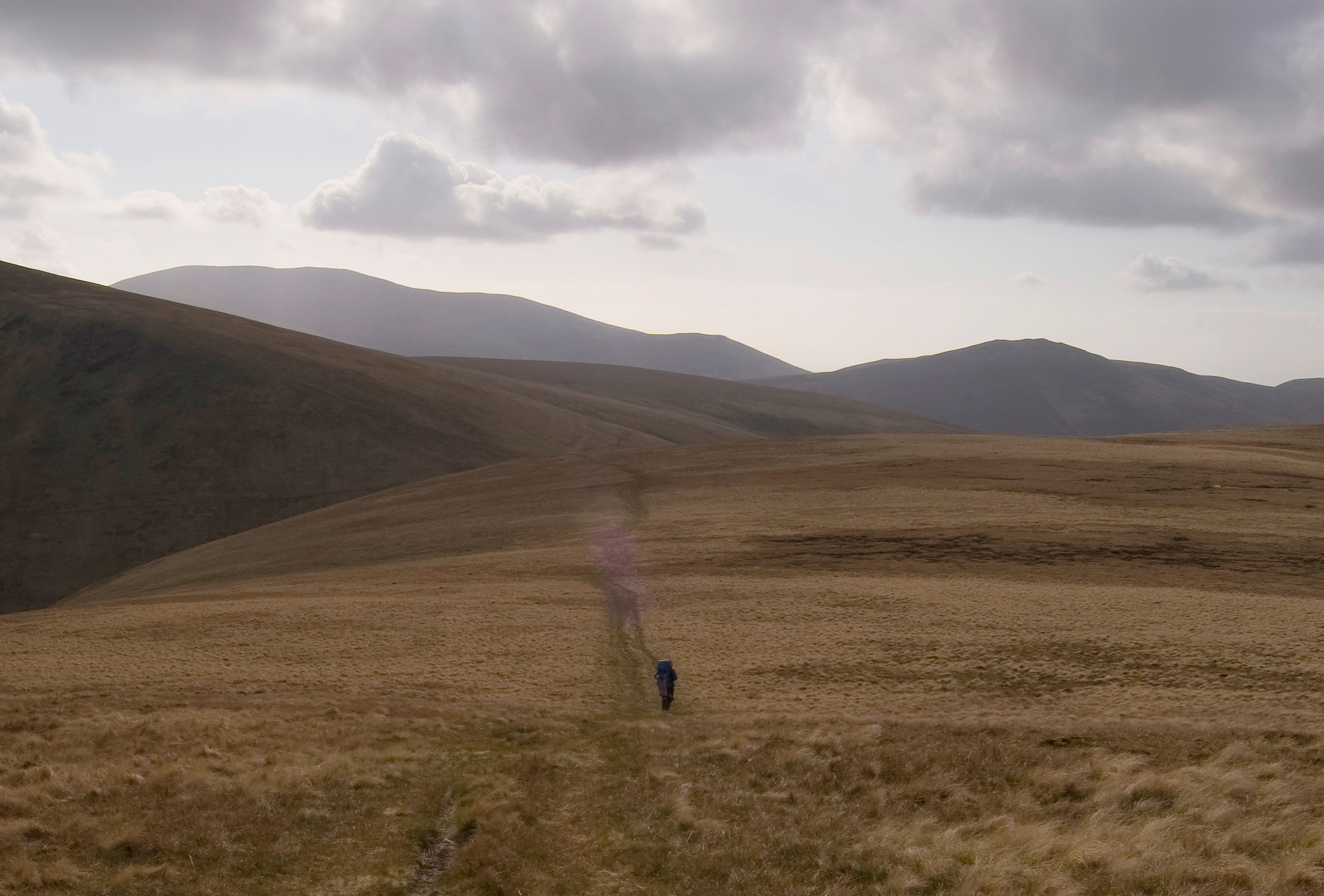
Back on terra-firma we made good progress down the Mosedale track:

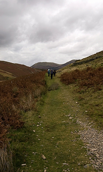
Looking down the Mosedale track

Looking up the Mosedale track

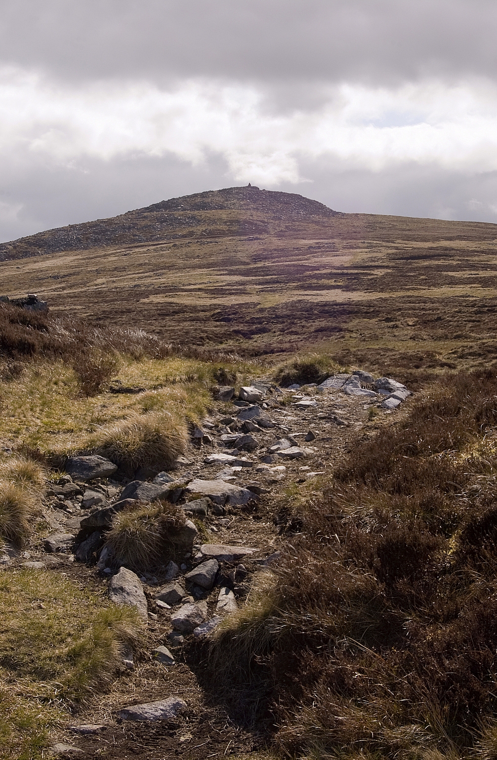
The summit-end of Hen Comb

The walk back to the cars was a leisurely affair and we spotted much that we'd missed on the walk-in:

Fungus 1

Hen Comb ridge

Fungus 2 - so far, this weird one has defied all of my attempts at identification

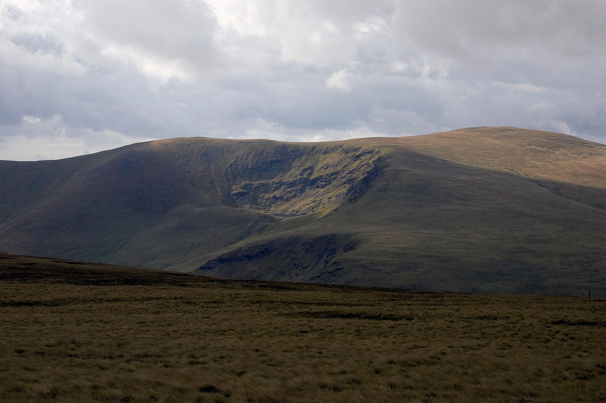
Whiteside and Grasmoor

We were soon back at the cars and making our way back to the hostel where, after getting cleaned up and changed, we had a fine 3-course evening hostel meal (I can recommend the ribs as a starter).

Afterwards we declined a walk to the pub as the heavens had opened, so we stayed in, chatted over hot drinks in the lounge and then had an early night.

Walk stats:

  • Distance: 4.35 miles
  • Ascent: 1381 ft
  • Wainwrights: 1

To be continued...

Northern Fells Wildcamping – Part 4 – Finishing Off

Posted by on May 22nd 2010 in Annual Wildie, Great Escapes, Lakes Escapes, Wildcamping

The next morning we were clagged in again so we had a prolonged breakfast waiting for the wind-driven rain to abate. Eventually we packed up and checked out the vacated pitch to ensure that we'd left no trace of our temporary residence. Other than the dry patch uncovered as we struck the tent there wasn't any sign that we'd overnighted there, and we were confident that the ensuing rain would soon deal with that:


Without a trace

We headed back to and over the col and took the path beside the Glenderamackin to the footbridge below White Horse Bent:

Descending beside the Glenderamackin


While we were on our way down the wind picked up and lashed rain at us, so I packed away the camera to keep it safe. Declining the option to continue down the path along river, we crossed the bridge and went up the easy slope and along the deceptively-long ridge to the summit of Souther Fell. After a few minutes of map-checking just below the summit, we went off-piste down the eastern flank to intercept one of the diagonal tracks back to Low Beckside. We'd met no other walkers that day until we reached Mungrisdale.

At valley-level the wind and rain had ceased and the temperatures were rising fast, so we took the opportunity to rehydrate at The Mill Inn at Mungrisdale. Well, it would have been ignorant to have passed by without going in. That, and the fact that it would have been cruel on the wild horses needed to drag me kicking and screaming up the road:


The Rehydration Station


From there it was but a short mile back to the car at Bowscale Moss. Thankfully the local equine population weren't there to give us a send-off:

The final stretch back to Bowscale Moss

Just one more post to follow, then we're done.

Northern Fells Wildcamping – Part 3 – Rises and Falls

Posted by on May 21st 2010 in Annual Wildie, Great Escapes, Lakes Escapes, LMAO!, Wildcamping

So there we were, on Carrock Fell, trying to figure out which way to go next. As I saw it, we had three options:

  • Stay up high - take in Knott and Great Calva, drop down to Skiddaw House, cross the Caldew dryshod at the bridge, head East up Mungrisdale Common;
  • Take a middling route - ascend Knott, drop down Snab, ford the Caldew, head South up Mungrisdale Common;
  • Take a direct route - descend the flank of Carrock Fell to the bottom of Grainsgill Beck, follow the Skiddaw House service-road to the base of Snab and then proceed as per the middling option.

Predictably we couldn't agree, so we delayed the decision and took a short-cut back to the bothy-shed, where we made a brew and reassessed the situation.

Chris didn't fancy slogging up Knott and Great Calva, and I'd been up them before, so we resigned ourselves to backtracking down the beck and fording the Caldew at some convenient point. At least I had the opportunity to grab some pics on the way down, and we met a couple of walkers heading up the Cumbria Way. These were the first folk that we'd met, and by strange coincidence the bloke worked for the same company as Chris, albeit in the Netherlands not the UK. A bit later on we met another bloke sweating his way up the beck, we didn't chat for long as he seemed intent on gaining the ridge. Anyway, back to the beck pics...


Falls in Grainsgill Beck

A beautiful watersmeet

Passing the old mines, we decided to read the sign that we'd disregarded on the way up:

Don't disturb the rocks!


On reaching the Caldew we walked along the service-road looking for a place to ford the river. I was dismayed to find this stash of empties at the side of the road - FFS, if some twats have gone to the trouble of driving all the way up there for a session on the vodka, it wouldn't have been much extra effort to have taken their empties back down in the same car, would it? These lazy inconsiderate arseholes should be banned from the fells, IMHO. If we'd been heading down, we'd have carried the rubbish out, but we had to leave it.


Evidence of arseholes


Shortly after that we found a suitable fording-place. I rock-hopped to the middle and balanced on a slippery flat rock, looking for the next dry step, but there was none. With a quick two-step in the calf-deep water I was soon on the far bank, with damp boots and socks but no other ill-effects. I warned Chris about the slippery rock and advised an alternative, but she stepped on it anyway and it got the better of her. In slow-motion she leaned too far, her pack dragged her over even more and she ended up lying in the water. She was fairly-well drenched. I didn't dare to laugh. OK, OK, so I did laugh. Lots. And loud. Being a decent, caring sort of chap, I raced off downstream to retrieve the dropped water-filter bottle and left Chris to find her own way to dry land. She was wet but uninjured, so we sat in the warm breeze and had lunch while she dried herself and her kit. Oh, and we laughed a bit more, just for good measure:

Chris drying off

We were at the bottom end of Long Gill, and looking at the map we figured that the best thing to do was to go straight up to Bowscale Fell. Redressed and fit to go, we had one last look up the Caldew towards Skiddaw House. A bit further up the river we could see something that looked like a bridge, and Chris gave me some stick based on that impression. Luckily for my reputation, subsequent investigations indicate that there isn't really a bridge at that point, so the soaking wasn't in vain:


Looking up the Caldew

The walk up to Bowscale Fell was a real hard slog with no paths through the tussock-grass and mossy ground on the unremitting slope. Over an hour later we reached the top:

Chris approaching the viewpoint cairn near the top of Bowscale Fell

Bannerdale Crags and Blencathra from Bowscale Fell

A rare picture of me

From there the next objective was a rather more easy proposition, with gentle paths skirting the drop-off and leading up to Bannerdale Crags:

Bannerdale Crags

The view from the edge of the crags was worth the effort:

The viewpoint cairn on Bannerdale Crags

Blencathra beyond the summit of Bannerdale Crags

From there it was a simple and straight descent to the col at the source of the Glenderamackin...


Heading for the col

and onwards to a nice dry pitch on the north-west side of the col, looking down Blackhazel Beck.

Pitched above Blackhazel Beck


After another good meal and a lot of rehydration, Chris settled down early while I went out for an easy evening stroll to the cairn atop Mungrisdale Common:

Approaching the Mungrisdale Common cairn, with Skiddaw in the background

The back of Blencathra from Mungrisdale Common

Losing the light

After spending a while there appreciating the utter quietness of the place, I headed back to the tent, pondering the fact that we'd only seen three other walkers during the day. I was hoping for a sunset worthy of our efforts, but this was the best that could be mustered:


The sun setting over Great Calva

To be continued.

Northern Fells Wildcamping – Part 2 – On The Caldbeck Fells

Posted by on May 20th 2010 in Annual Wildie, Great Escapes, Lakes Escapes, Wildcamping

After a good night's sleep in very windy conditions we woke fairly early to find that the weather was still cold, breezy and drizzly. The views down to the valley were good but intermittent:


Morning clag

Great Lingy Hill bothy-hut from the first pitch

We had a hearty breakfast and packed away sharpish. After pausing for a photo-opportunity near the bothy-hut...

The bothy-hut


we branched off the Cumbria Way and took the easy approach to High Pike:


Chris starts up towards High Pike


Chris huddled in the shelter, staying out of the icy wind...

High Pike shelter and summit

while I wandered off to take some pics of the fell and its surroundings:


Carrock Fell from High Pike

High Pike trig-point, cairn and memorial bench

The Bench, in memory of Mick Lewis
The inscription reads:
HE IS A PORTION OF THAT LOVLINESS THAT ONCE HE MADE MORE LOVELY

The next objective was Carrock Fell. We descended to the Cumbria Way and skirted the top of the Drygill ravines...

Drygill ravines

where we got our first glimpse of Bowscale Tarn overlooked by its guard of impressive crags:

Bowscale Fell and Tarn from High Pike

After a slog along the wide ridge, taking in Miton Hill and Round Knott, we arrived at Carrock Fell's summit. It's an impressive place with extensive views in most directions, well-worth a visit:

Carrock Fell summit cairn

Skiddaw and its subordinates from Carrock Fell

We dropped back down to Round Knott and had a discussion about our next course of action. We wanted to walk the fells on the other side of the Caldew, but there were a few ways of getting there. There was much procrastination...


The descent from Carrock Fell


To be continued.

Northern Fells Wildcamping – Part 1 – The walk-in

Posted by on May 19th 2010 in Annual Wildie, Great Escapes, Lakes Escapes, Wildcamping

After the long drag up the M6 we nipped into The Mill Inn at Mungrisdale for a swift beer before parking the car at the road-side overlooking Bowscale Moss (my thanks go to Karl Holden for suggesting this parking-place). After escaping from the marauding locals that insisted on trying to bite chunks out of our kit, we hoisted our packs and set off along the pleasant country road, passing through Bowscale and on towards Mosedale.


Chris fends off the pack-munching livestock

On the approach to Mosedale we got our first decent view of one of our objectives - Carrock Fell:

Carrock Fell above Mosedale

After looking at the fell and considering the weather forecast, we decided to change the plan of attack - instead of tackling Carrock Fell head-on and overnighting somewhere between there and High Pike, we opted for the longer walk-in along the valley of the Caldew and up Grainsgill Beck towards Great Lingy Hill. We knew that this would add considerably to our mileage and would mean that there would be much ground to be travelled twice, but we wanted to be near to running water all the way, and we knew that the ridge from Carrock Fell onwards would be dry. As it turned out the walk-in was a pleasant affair with much to see:

The view up the Caldew valley...

where the gorse was in full bloom...

and the trees lean away from the prevailing wind.

We saw plenty of butterflies (Green-veined White (Pieris napi), female, first brood?)...

and a Red Squirrel that ran the full length of the wall from Swineside to Roundhouse.
Mouseover the pic for an edited version.

Remember what you were told about checking for dead sheep when drinking from streams?

We did 🙂

There are many interesting rocks in the bed of the river, here's one that appealed to my geological side:

Fold 1

Fold 2

A while later we reached the bend in the road where it heads off westwards to Skiddaw House, and we ascended alongside Grainsgill Beck until we reached the ridge. After much searching we found a patch of dry level ground and pitched there for the night, within sight of the bothy-shed (formerly a shooting-box) on Great Lingy Hill, within 10 yards of the Cumbria Way and 10 yards west of the beck (so as not to be breaking the law which prohibits camping on the Caldbeck Fells). Shortly after getting set up the weather took a turn for the worse as the wind got up and the rain set in, but we were warm and snug in our "room with a view". During one odd clear spell we thought that we could make out two people at the bothy-hut, but we couldn't be sure. Anyway, here's a couple of pics taken a few minutes before the clag came down:


To be continued.

A long weekend around Windermere – Part 1 – Two Wainwrights

Posted by on April 6th 2010 in Great Escapes, Lakes Escapes, YHA

This was always going to be an interesting experience - we were going away with another family who were new to hostelling and to fellwalking, so many things were going to be different - the planning, the sharing of responsibility, the scope of what we deemed to be achievable given the ages and inexperience of the younger members of our group.

Things started to get interesting right from the off... after getting everybody settled in the cars we pulled out of the driveway but couldn't get out of the Close, as our adjoining neighbours had set their property alight and there was a fire-engine blocking the exit. Thankfully nobody was hurt and there was little damage, due to the quick response of the Fire Service. The car's trip-computer couldn't calculate the journey-stats, but the sad fact was that we'd covered ten metres in 40 minutes.

The Thursday afternoon journey up the standard A5/M6 route was frustrating, there being many hold-ups due to accidents/roadworks/bad weather, but after a few extra hours we arrived at Ings to sample the delights of the Little Chef. From there it was but a short trip to Windermere YHA, where we were assigned a couple of family-dorms that were by far the smallest that I'd ever stayed in. I think that if I had been new to family-hostelling I'd have been put off for life by this, as there wasn't even enough space between the bunks to walk without clattering the steps. Thankfully our friends were tolerant and the matter didn't become a major issue, but in future I think we'll be asking about dorm-sizes before making a booking. That was all that was poor about the hostel. We dined there on the Friday evening and had all of our breakfasts there, and all of the meals were of good quality. The staff were very helpful and all of our kids liked the place, so all was well.

Friday dawned grey and damp but the outlook was good, so we stayed with the original plan of having a simple walk as a test of what we could achieve as a group. We chose to walk from the hostel towards the Garburn Pass, and at Garburn Nook we would have the option to bag Sallows and perhaps Sour Howes before we returned. Nothing too high and risky, but the prospect of fairly good views and some easy snow underfoot was sufficient incentive for the kids to get excited.

The first leg was a bit of road-walking. The daffodils were just waking up...


Daffs in the woods


... as we headed towards Town End:


The approach to Town End


From Town End we took the footpath down to the two bridges over Trout Beck where we had a few minutes of rest and play:


The first bridge


The second bridge


Trout Beck


From there we walked up the slope to the A592 and made our way along it to a delightful mossy-walled bridleway that went up beside The Howe.

The rising path gave us ever-wider views of the fells surrounding the lowly Troutbeck Tongue:


Caudale Moor, Thornthwaite Crag, Froswick and Ill Bell surrounding Troutbeck Tongue


There was some interesting cut wood lying around:


A bit further up we got a better view of Troutbeck Tongue:


Troutbeck Tongue


... and we found some woods where we might find friendly bears, according to one member of our party...


Approaching the lair of the friendly bears


... who thought it was a good idea to hold hands with someone, just in case the bears weren't feeling that friendly after all:


Bear-hunters - formidable and fearsome, and yet casual and relaxed. It's an interesting tactic, IMO


Luckily, the bears didn't trouble us - we made it unscathed to Garburn Nook and then headed up the track to the ridge:


Geoff looks on as the others tackle the track to the ridge


While the others got comfy at the ridge, us blokes took a short stroll to the top of Sallows, from where we got a fair view of Sour Howes:


Sour Howes from Sallows


Geoff reaches the top of Sallows


The view from the top of Sallows - click the pic for a larger version


Back at the ridge we prepped for a split in our party. Ella nipped off alone to bag Sallows and would join us blokes on the easy trudge to Sour Howes, while the others returned to the Garburn Road, having achieved enough for the day.

We encountered some patchy yet deep snow on the way to Sour Howes:


Ella in the snow, making snowballs to chuck at Geoff


Geoff gets his revenge 🙂


The final pic of the day was of Windermere from the slopes of Sour Howes:


Windermere


We caught up with the others on the Garburn Road and retraced our route until we reached the end of the bridleway. Instead of going via the two bridges we stuck to the road, crossed Church Bridge and went back via Low Fold and Town End.

The kids had really enjoyed the adventure and hadn't struggled at all, which was good news. Back at the hostel we had a lazy evening and a good meal while figuring out what to do for the next day.

To be continued...