Posts tagged 'Wainwrights'

A few days at Borrowdale – Part 4 – Return and round-up

Posted by on April 28th 2011 in Great Escapes, Lakes Escapes, YHA

It was our last morning at Borrowdale, the forecast was for more hot weather and we didn't fancy another walk in such conditions. After packing the cars we went into Keswick for some retail therapy. Gifts were bought for friends and family and we got caught up in a procession of folk carrying a wooden cross through the town centre to the Moot Hall. Amazingly we still managed to get away from the shops without buying more kit, but not until after we'd managed to refuel ourselves first at Java and Chocolate and then at the Lakeland Pedlar Whole Food Cafe.

Narrowly avoiding a round of "obstacle golf" (I suppose this is the PC version of what we used to call "crazy golf") we returned to the car and raced off to the A66 for the long haul back home.

I suppose that a few walking stats wouldn't go amiss...

Wednesday

  • Distance: 4.2 miles
  • Total ascent: 1652 ft
  • Wainwrights: 1 - Bessyboot 1807 ft (first ascent for all of us, first Wainwright for Millie)

Thursday

  • Distance: 6.9 miles (including detour to Lonscale Fell)
  • Total ascent: 2361 ft (including detour to Lonscale Fell)
  • Wainwrights: 2 - Skiddaw 3053 ft (first ascent for the others, second ascent for me), Lonscale Fell 2344 ft (first ascent for me and for Geoff)

Illnesses and injuries:

  • Prickly heat (Chris and Anna)
  • Heel blister (me)
  • Rock/face impact (Jacob, who forgot to let go of the projectile that he had intended to whang into the stream)

So, two more Wainwrights knocked off the to-do list, only 20 still to do.  The Wainwrights and Routes map has been updated accordingly.

A few days at Borrowdale – Part 3 – Long and gentle

Posted by on April 27th 2011 in Great Escapes, Lakes Escapes, YHA

Thursday morning and yet again some of us were up bright and early. Some of the others were reluctant to part company with their duvets, until they were informed of the possibility that they might miss breakfast.

Fed and packed, we loaded the cars and drove indirectly (I made a few wrong turns) to the free-for-all that is otherwise known as the Gale Road car-park. After spending some time finding a less-boggy and less-pot-holed bit of verge for the car, we started to make our way up the zig-zag path towards Jenkin Hill for our ascent of Skiddaw:


Looking back to Latrigg and the Gale Road car-park from the Skiddaw zig-zags


Again, the youngest members of the party needed a fair few pit-stops on the steeper sections, as the sun was beating down again and the temperatures were higher than the previous day. Truth be told, the older members were glad of the rest too.

After the last steep section the path almost levels out across Jenkin Hill and we made good progress to the gate and stile below Little Man where we stopped for elevenses.


The gate and stile below Little Man


The un-barbed fence that runs towards Lonscale Fell


There was much discussion as to whether to go up Little Man before heading for Skiddaw proper. I'd been up these fells already and didn't mind either way, and eventually the decision was made to head for the main top and then decide about Little Man on the way back down, based on how the kids were faring. Looking back from the upper slopes of Skiddaw, it did seem a shame to be bypassing the lesser Wainwright. No matter, onward and upward!


Outflanking Little Man


After pausing for the application of a little blister-prevention strapping, Anna made good speed up the final slope:


Home-made all-terrain personnel


The worst bits over, it was just a short stroll from the South Top across the top to the trig point


From the South Top the view westwards opens up, bringing back memories of a great walk along Longside Edge a few years ago, back when the route was a delightful thin trod winding through the heather. Looking down at it now, it looks like somebody's bulldozed a road along the crest:


Long Side, Longside Edge and Ullock Pike


A few minutes later and we were at the summit, restocking with carbs and rehydrating. The views would have been outstanding were it not for the haze:


At the top


Geoff makes it to the North Top as Natasha returns to the trig point


After a suitable amount of loitering we started to head back down, declining the option to take the Little Man path. As we passed by we noticed many of these critters defending their territories:


One of the many Wheatears that lay claim to the upper slopes, click to get a better pic


Back at the gate and stile me and Geoff veered off to make a beeline for Lonscale Fell while the others continued down the original route of ascent. After a leisurely 30-minute stroll we were sat at the small cairn trying to identify distant fells through the haze:


Blencathra from the top of Lonscale Fell


Clickable Panorama - Blencathra to Skiddaw


From there we took an indistinct track that led through grass and then heather in the rough direction of Gale Road. After a bit of meandering down steepening ground we found a distinct marker post (part of the "gateway" in Wainwright's Pictorial Guide, the fence being long-gone) at the head of a dry stream. We followed the straight line of that stream until it reached a new fence that prevented us from negotiating the ravine of Whit Beck, so we had to follow the fence across very steep and slippery ground until it reached the broad Cumbria Way trail that leads to Skiddaw House. After crossing Whit Beck at the ford and having a good bellyful of the cool clear water there we strolled the short distance up the ravine-side track to the junction with the path that we'd started on only a few hours before.

Five minutes later the rest of the group got down to us and after a short break we all headed back to the cars. Back at the hostel it was the same routine as before - showers, another great YHA meal, deal with the sunburn and a chill-out before bedtime.

All in all it had been another great day, most of the others hadn't walked as high as Skiddaw before and there's something special about someone's first 3000-footer, all the better because of the distinct lack of the customary rain. The only downer was the persistent haze - I'd been telling them all about the magnificent views to be had from the top, only to be banjaxxed by ironically good weather. Never mind, it's an excuse to go up there again sometime.

To be continued...

A few days at Borrowdale – Part 2 – Short and steep

Posted by on April 25th 2011 in Great Escapes, Lakes Escapes, YHA

Some of us were up bright and early next morning, outside taking pics well before breakfast...


Looking over the hostel grounds


The River Derwent from Longthwaite Bridge


High Spy and Castle Crag


Woodwork


Eventually the others surfaced and after we had breakfasted we headed off towards our objective - Bessyboot on Rosthwaite Fell. Even though it was still early a heat-haze was beginning to develop:


Heading for the crossroads


The first time I've ever seen this sign dry!


From the crossroads we headed for Stonethwaite, there were plenty of opportunities for the kids to lag behind looking at the newborn lambs:


Lamb-watchers


Beyond Stonethwaite we took the lane above the fields to the crossing of Big Stanger Gill, from where a steep but well-tended and delightful path winds up through Bull Crag Woods towards the notch between Hanging Haystack and Alisongrass Crag. The steepness and increasing heat meant plenty of stops for the kids and hence some photo-opportunities:


First pit-stop


Alisongrass Crag and the fells above Watendlath


The path twists and turns between the trees


Looking down on Stonethwaite and the Borrowdale valley


After another pit-stop at the "very awkward stile" and another after the wall-crossing, we reached the open fell and made our way along the track to find a suitable place for lunch. By then the sun was beating down with some ferocity and the SPF50 had to be wielded:


Chris poses for scale


In search of a place for lunch


Curiously-weathered mineral veins


A peek at Eagle Crag


After lunch we crossed the marsh that is the standing source of Big Stanger Gill and made our way around to the perched boulder which marks the start of the easy short pull up to Bessyboot, the summit of Rosthwaite Fell. As you can see, Millie was quite chuffed to have reached her first ever Wainwright summit, so chuffed that I had to take two pics:


Millie and Anna atop Bessyboot


Ditto


Although Bessyboot is a low summit, it has great views of  the surrounding fells:


The two Gables, Base Brown, Brandreth, Grey Knotts and Fleetwith Pike


Tarn at Leaves, Rosthwaite Cam and Glaramara


The Skiddaw Group in the distant haze


We left the top and went down to the waterside to catch some rays or to dip toes in the cool clear water. Wainwright says "Tarn at Leaves has a lovely name but no other appeal". I beg to differ - it's a fine place, a wildcamper's delight:


Tarnside


Reeds and weeds


Muggins spoiling the view of the crags around Rosthwaite Cam
Anna took this pic


Anna and Millie after the toe-dipping


Offers to nip up to the Cam for a look-see were declined, so we shouldered the packs again and made off for the track down to Combe Gill.


Rosthwaite Cam and Glaramara again


We had intended to intercept the OS's green-dashed path but it turned out to be a map-maker's flight of fancy. Before long we were going down a worryingly steep grassy and craggy slope on the north side of Dry Gill. Some of the party found this section unpleasant, but our pathfinders were enjoying themselves:


Pathfinders


Anna found and photographed some interesting pink rocks in Dry Gill. Not sure what they are but they're different to the other rocks outcropping thereabouts. I suppose I'll have to dig out the BGS map of the area to find out what they are:


Pink rocks in Dry Gill


One more view of Rosthwaite Cam and Glaramara


Eventually we crossed Dry Gill to easier ground and found a fair track that's not marked on the map:


Descending on the south side of Dry Gill, with a great view before us


Chris nearing Combe Gill


After crossing Combe Gill we had a breather. The kids amused themselves by throwing stones from our pathside perch to the gill below, with no other folk about we thought it was a bit of harmless fun until Anna accidentally let one go vertically instead of across and down. With no idea where it would land, we just hunkered down and hoped for the best. After what seemed ages, there was a loud thud and a shower of gravel in the small area around which we were sitting. Lucky, eh? The ensuing rollocking echoed around the fellside but we all saw the funny side of it and a course of proper stone-throwing was instigated.

From there it was a simple but delightful walk back to the hostel via Mountain View, over Folly Bridge and along the short via ferrata riverside chain-walk section just as we entered the hostel grounds.

After we'd got ourselves showered and changed we booked in for a superb meal at the hostel and chilled for the rest of the evening before turning in early again to get some rest in preparation for the expected rigours of the next day.

To be continued...

How much is that Wainwright in the window…

Posted by on January 21st 2011 in Great Escapes, Rambling on..., Wildcamping
Tags:

... the one with the wa-ger-ly trail?

Come on, sing along, you all know the tune...

... but what about the numbers?


The path to High Street


I've been doing some rough sums, trying to work out how much the quest to do the 214 has cost so far and how much more it'll cost me to finish them during the next 18 months (I aim to get them all done before I turn 50)...

The total so far is 192 but the actual count is 200, as some tops have been revisited.

Of these 200:

  • 35 were during 8 wildcamping trips
  • 106 were during 25 mildcamping trips, a total of 61 nights
  • 53 were during 24 YHA stays, a total of 50 nights
  • 4 were during 2 undergrad fieldtrips
  • 2 were during 1 B&B weekend

For this costing, I've made the following assumptions:

  • Food and beer costs aren't included - I'd have bought the stuff anyway if I'd stayed at home
  • I'm estimating that I've spent £1000.00 on gear that I wouldn't otherwise have bought
  • Car maintenance, tax and insurance etc. aren't included - again, I'd have paid for them anyway
  • Wildcamping costs were fuel only
  • Mildcamping costs were fuel and site-fees
  • YHA costs were fuel and YHA fees
  • Fieldtrip costs were £20.00 each
  • B&B costs were £50.00 and fuel
  • I'm not including trips when I walked but didn't bag any Wainwrights
  • Calculations cover trips during the last 30 years, so I'm estimating an average mildcamping pitch at £5.00 a night and YHA stays at £10.00 a night
  • Usually I've been getting there, around and back by car, so I'm estimating an average fuel price of £3.30 a gallon, an average of 42 mpg and an average mileage of 450 per visit, giving an average fuel cost of £35.36 per return trip

So...

  • Wildcamping costs were 8 x £35.36 = £282.88
  • Mildcamping costs were (25 x £35.36) + (61 x £5.00) = £884.00 + £305.00 = £1189.00
  • YHA costs were (24 x £35.36) + (50 x £10.00) = £848.64 + £500.00 = £1348.64
  • Fieldtrips costs were 2 x £20.00 = £40.00
  • B&B cost was £35.36 + £50.00 = £85.36
  • Gear cost was £1000.00

Tot up that lot and it comes to £3945.88 which works out at an average of about £19.73 for each of the 200 times I've topped-out.


Mickleden and Great Langdale


So, what of the other 22 Wainwrights that I've yet to knock off the list?

I've looked at the map and I reckon that at the very least I'm looking at 4 YHA visits (a total of 9 nights), 2 wildcamping weekends and 2 mildcamping weekends. For this costing, I've made the following assumptions:

  • Food and beer costs aren't included - I'll probably buy the stuff anyway if I stay at home
  • I'm estimating no spend for gear - barring unforeseen events, I have all that I will need
  • Car maintenance, tax and insurance etc. aren't included - again, I'll be paying for them anyway
  • Wildcamping costs will be fuel only
  • Mildcamping costs will be fuel and site-fees
  • YHA costs will be fuel and YHA fees
  • Calculations cover trips during the next 18 months, so I'm estimating an average mildcamping pitch at £7.50 a night and YHA stays at £15.00 a night, and for the car I'm estimating an average fuel price of £5.50 a gallon, an average of 42 mpg and an average mileage of 450 per visit, giving an average fuel cost of £58.93 per return trip

So...

  • Wildcamping costs will be 2 x £58.93 = £117.86
  • Mildcamping costs will be (2 x £58.93) + (4 x £7.50) = £117.86 + £30.00 = £147.86
  • YHA costs will be (4 x £58.93) + (9 x £15.00) = £235.72 + £135.00 = £370.72

Tot up that lot and it comes to £636.44 which works out at an average of about £28.93 for each of the 22 tops still to do.

OK, so it's gone up a lot, but I reckon it's not too much to pay for being in places like this:

Angle Tarn

I trust that somebody out there will check my maths 😉

The Keeltappers and Grunters Social Club 2010 Coniston Meet – Sunday

Posted by on December 18th 2010 in Great Escapes, Lakes Escapes, YHA

Sunday morning dawned bright and frosty but without any overnight snow. The area around the hostel was picturesque in the morning light:


Looking towards Dixon Ground


Far End cottages


We were soon breakfasted, packed and away to Dunmail Raise - we had limited time for Wainwright-bagging as Frank wanted to go to the Montane sale in Ambleside and then to The Outdoor Warehouse sale in Windermere. We would only have time for one top, so we opted for Seat Sandal. Managing to get to the top of that one would be good for me - twice before, I'd sweated up Raise Beck only to be held back by reluctant friends or relations. Third time lucky, I figured.

We opted for the direct and steeper ascent up the West Ridge, reserving the Raise Beck route for the descent. Being in the open meant that the views were much better than what was on offer along the beck:


Moraines on Dunmail Raise


Thirlmere with Skiddaw in the distance


On the way up I was faffing with the camera and Frank had got well ahead. In my efforts to catch up I slipped on a patch of iced grass and landed on my knee. It didn't feel too bad at first so I ignored it, but after a while it started to give me hassle. I popped a couple of Ibuprofens which reduced the pain but the joint just wasn't acting right so I strapped it up and carried on. Common-sense said that I should bail after phoning Frank, but I wasn't going to fail on this mountain again. With much use of the "f", "b" and "c" words, I got beyond the break in the slope and managed to limp stop-start up the easy ground to the top.  Frank must have been waiting in the shelter of the wall for half an hour when I hobbled into view:


From the top of Seat Sandal


At the wall I popped a couple more pills and had a breather until I felt better. After a snack and a brew I managed to get a few pics before and during the knee-crunching descent northwards to Grisedale Tarn:


Fairfield and St. Sunday Crag


Dollywaggon Pike and the ridge to Helvellyn


Alcock Tarn, Grasmere, Coniston Water, Esthwaite Water and hints of Windermere and Morecambe Bay


Around Grisedale Tarn


After reaching the top of Raise Beck and having another few minutes to allow the knee to recover, we pushed on down the icy path back to the cars, stopping only to take a few (poor) pics of some of the cascades:


Upper cascades


Lower cascades


After we'd got ourselves sorted at the cars we nipped off to Ambleside so that Frank could have a look in the Montane sale. There was plenty of nice discounted kit in there but we resisted the urge to buy. The same couldn't be said of our visit to The Outdoor Warehouse in Windermere though, where Frank brought forth and wielded his wallet for the purposes of Christmas-pressie shopping.

After that, we said our goodbyes and went our separate ways. Aside from a few miles of dodgy traffic on the M6, there was no more excitement. The knee now seems to be sorted, I expected it to be a problem for a few more days but I'm happy to report that I was wrong.

The Keeltappers and Grunters Social Club 2010 Coniston Meet – Friday and Saturday

Posted by on December 15th 2010 in Great Escapes, Lakes Escapes, YHA

I'd started out a couple of hours earlier than usual which meant that I had time to call in at Windermere to do a bit of Christmas shopping. While walking the town I got quite a shock when I saw that the shop-front of The Outdoor Warehouse was plastered with "Closing Down" and "Sale" banners. Despite my solemn oath to stay out of such places, I had to go in and find out what the story was. Turns out that they're closing down the shop early in the New Year but they're going to continue as an online retailer. I suppose it's a good move financially, but it does mean that there'll be one less place to actually get hands on quality kit before deciding about buying it. If you're in the market for some seriously-reduced gear, I'd recommend a look in there before it's too late. They had a good selection of half-price down-filled jackets on display, including much stuff that's not on their website.

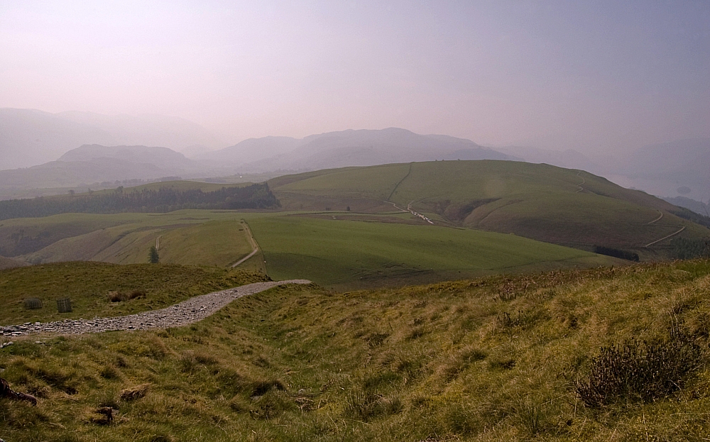
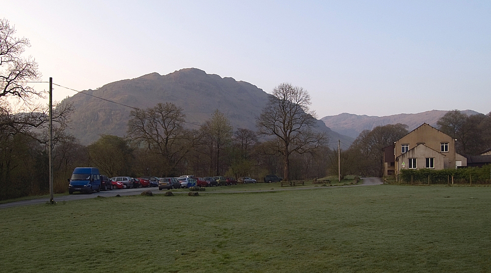
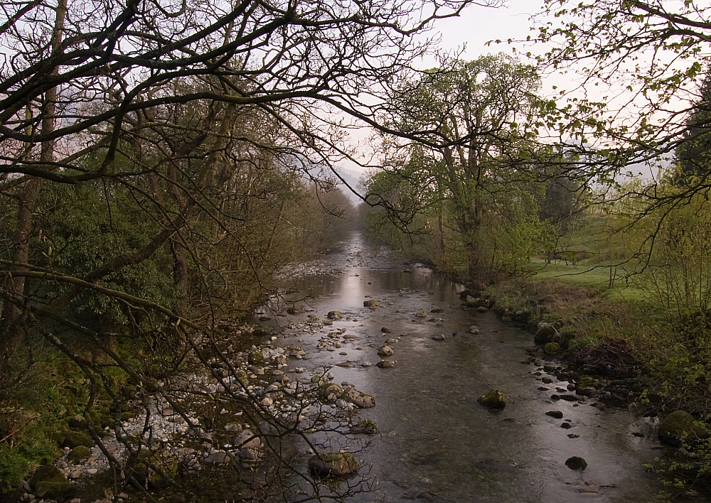
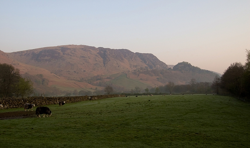
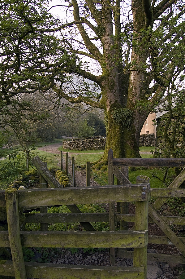
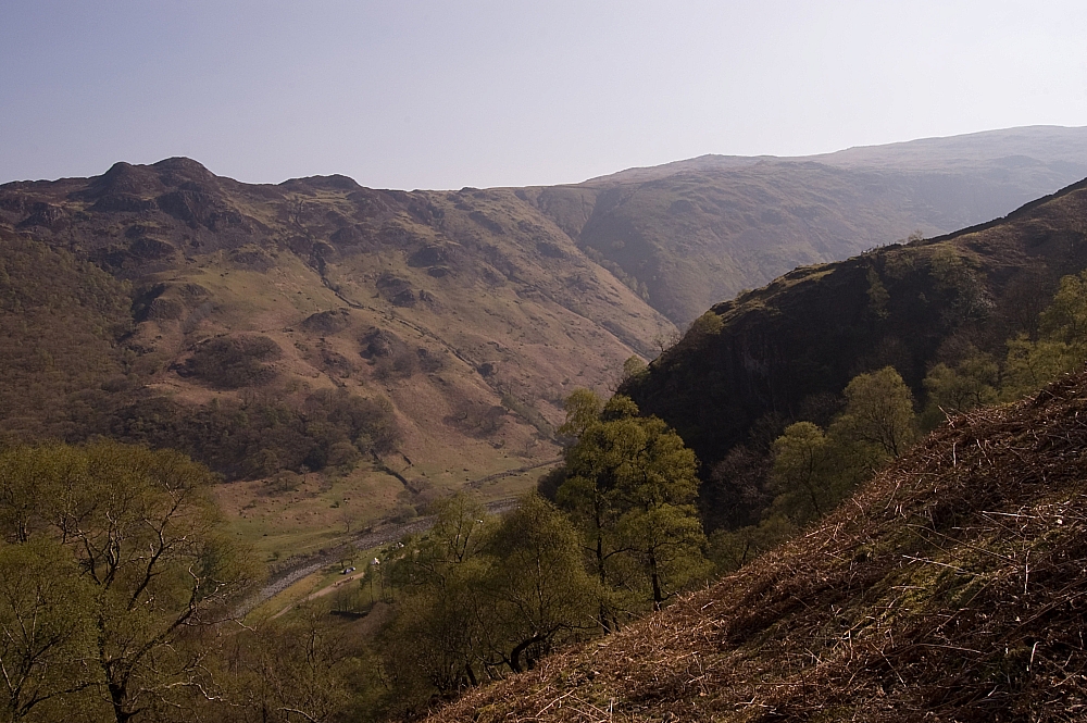
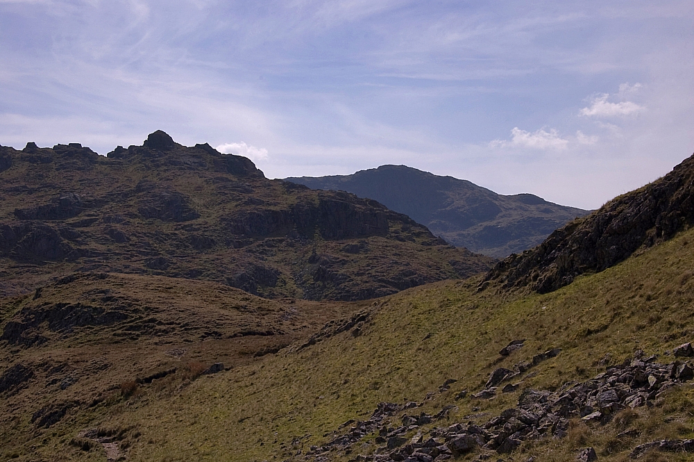
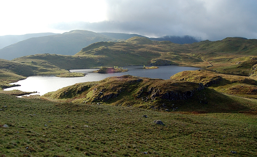
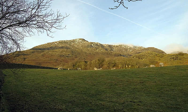
After that I made my way to Coniston, stopping occasionally to take pics from the roadside:


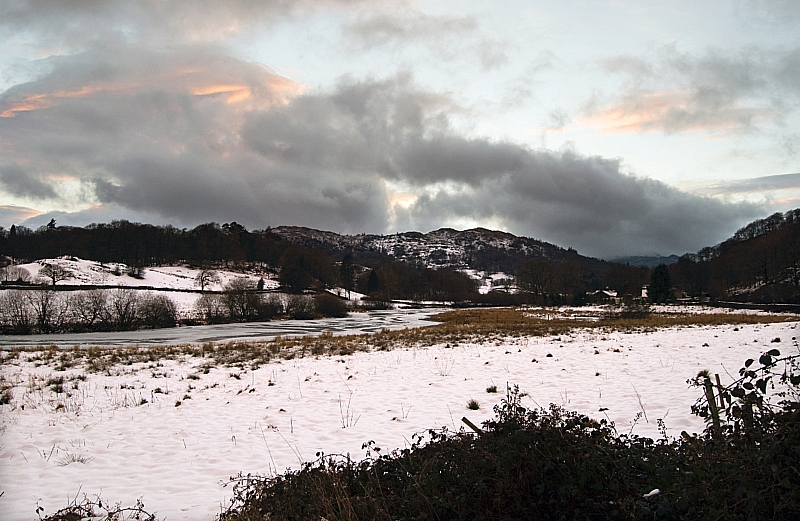
Looking towards Skelwith Fold and Black Crag


I arrived at YHA Coniston Holly How mid-afternoon, took my gear in, made a brew and sat reading in the lounge. After a while Frank arrived with the news that Mike was ill and wouldn't be arriving on Saturday morning as per his original intention. As we already knew that the other two invited folk couldn't attend, we went to The Crown ASAP and planned accordingly. It wasn't going to be a weekend of serious snow-play  - temperatures were on the rise and a thaw had set in. Frank's prime objective was to climb an in-condition gully, I wanted to bag a few "undone" Wainwrights and christen my snooshows, neither of us would get what we wanted. Over a fine pub-meal we played with the options before heading back and bunking down for the night.

Bright and early next morning we were up, breakfasted and parked up in the quarry car-park on the Walna Scar Road below Timley Knott. The sun was out and there was hardly any snow visible on The Old Man of Coniston:
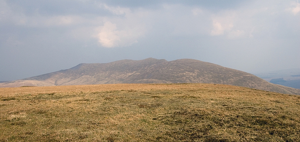
 

The Old Man


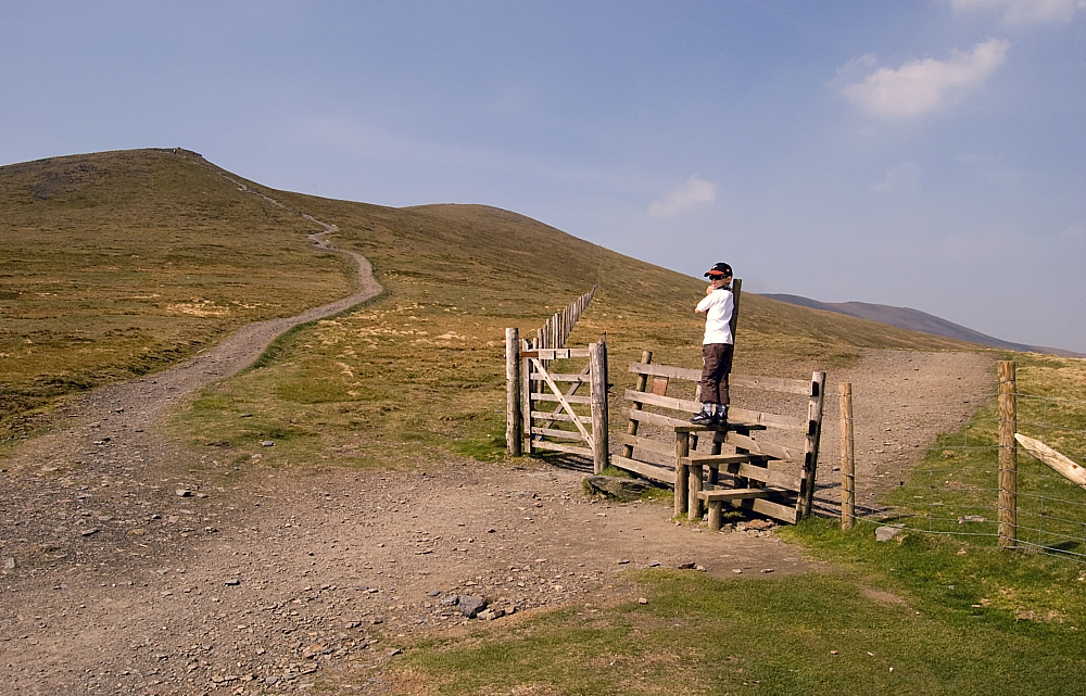
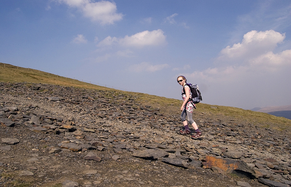
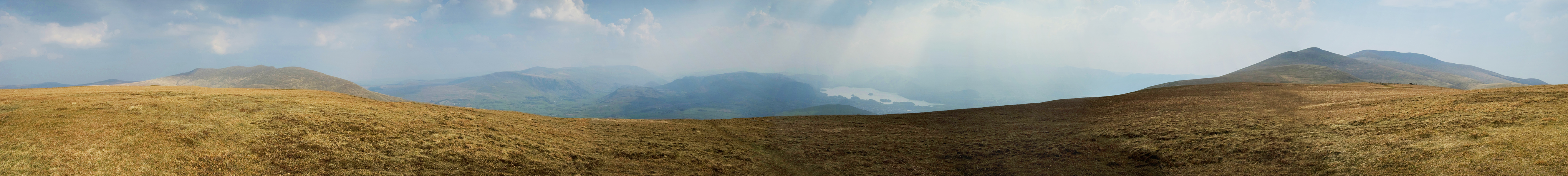
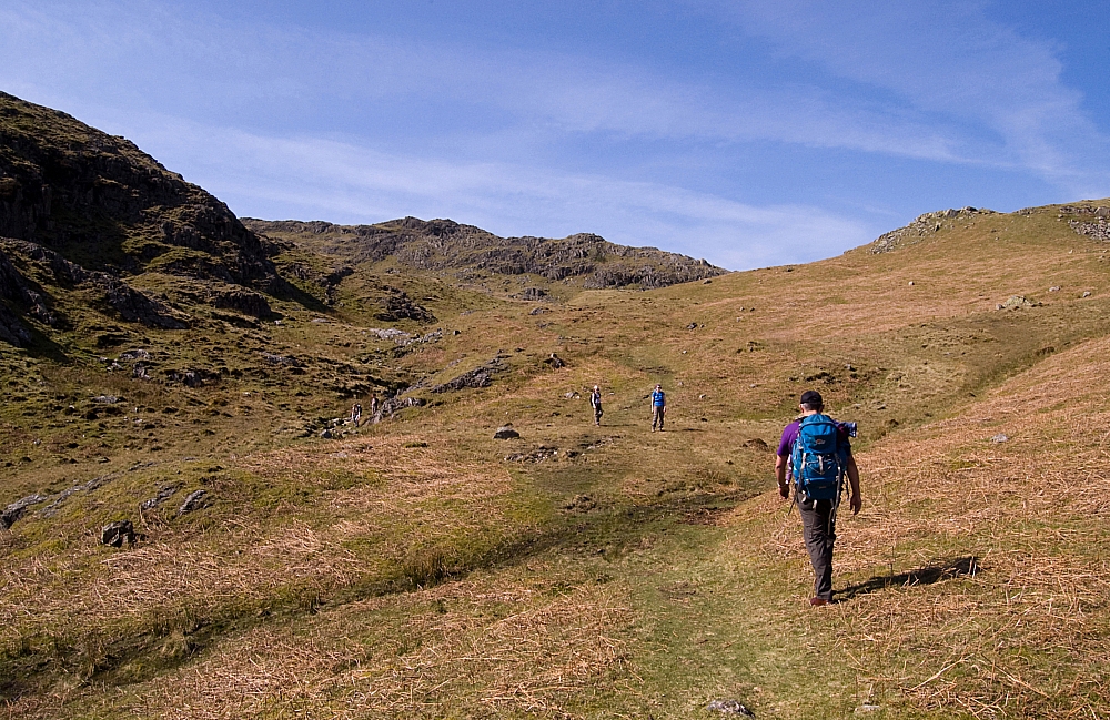
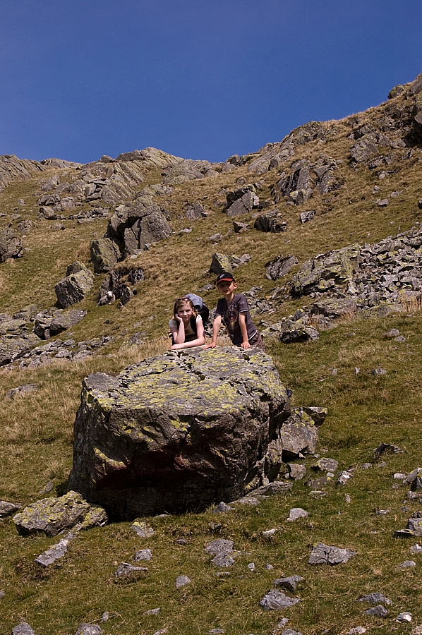
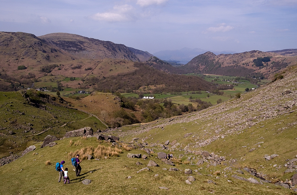
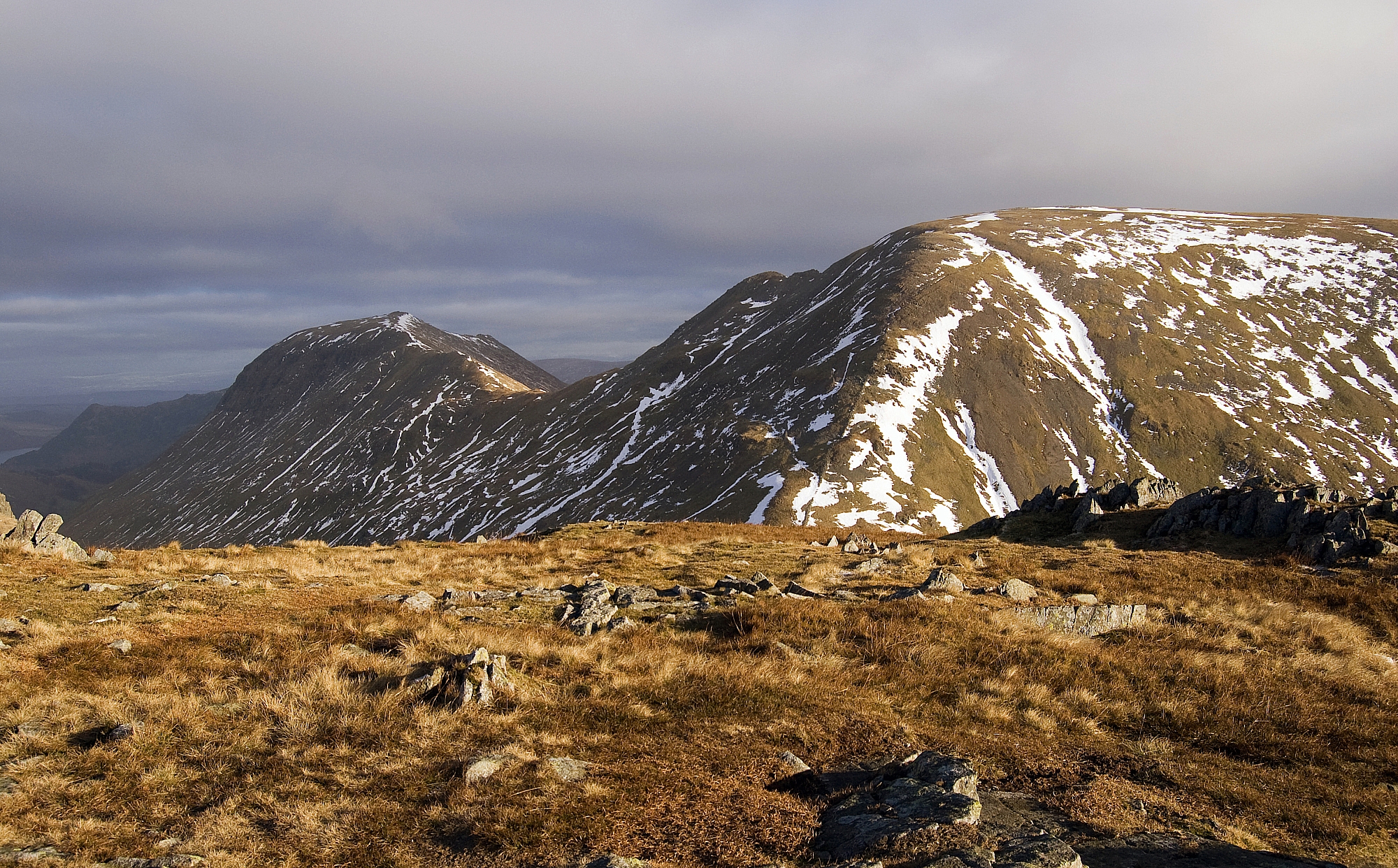
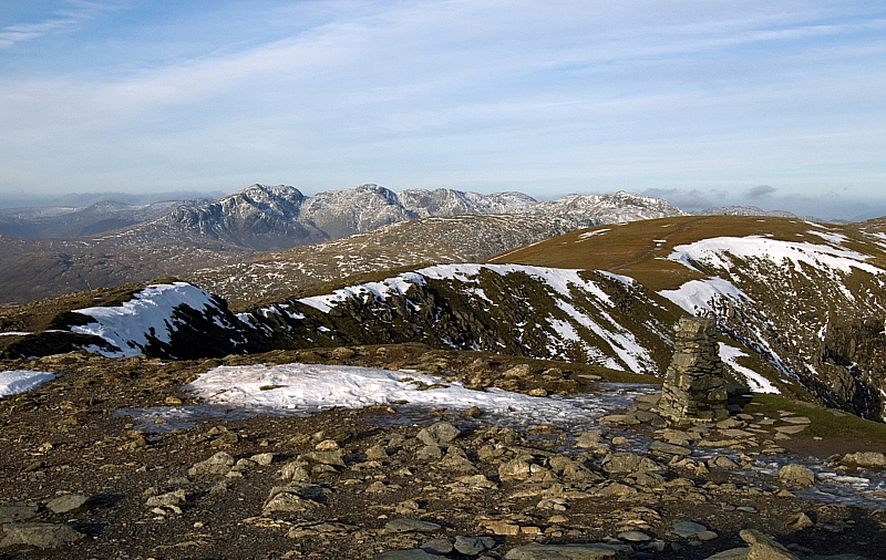
After seeing the conditions, it was obvious that crampons and axes wouldn't be required and that there was no chance of a gully-climb. We lightened our packs and headed North with the intention of taking the popular quarry-path to The Old Man's summit. There were plenty of photo-opportunities on the way up:


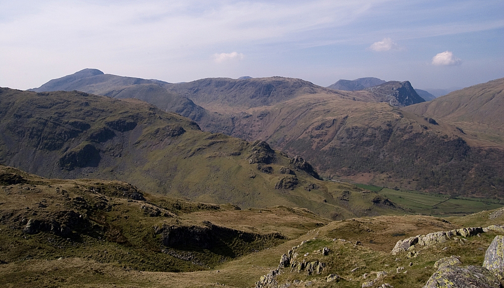
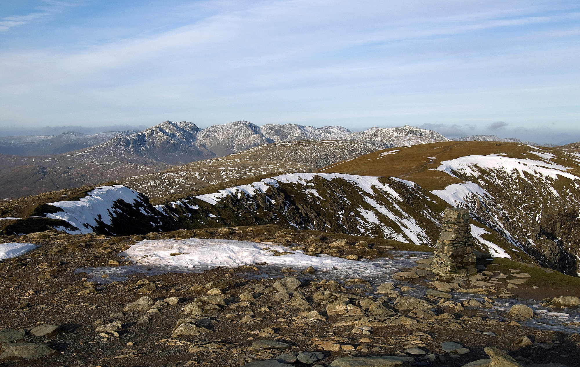
Panorama - The Old Man to The Yewdale Fells


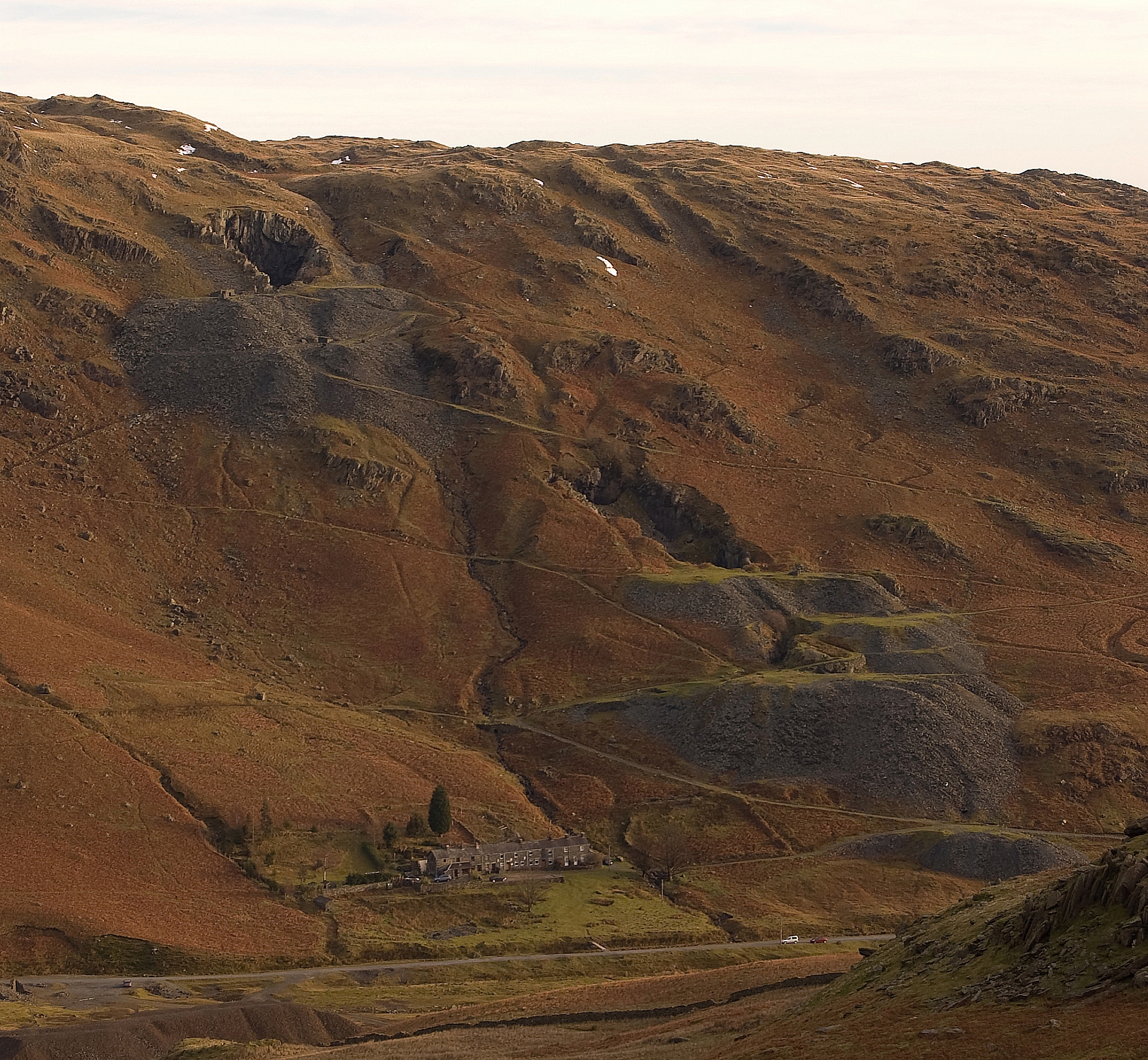
Looking back to the quarry car-park


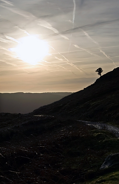
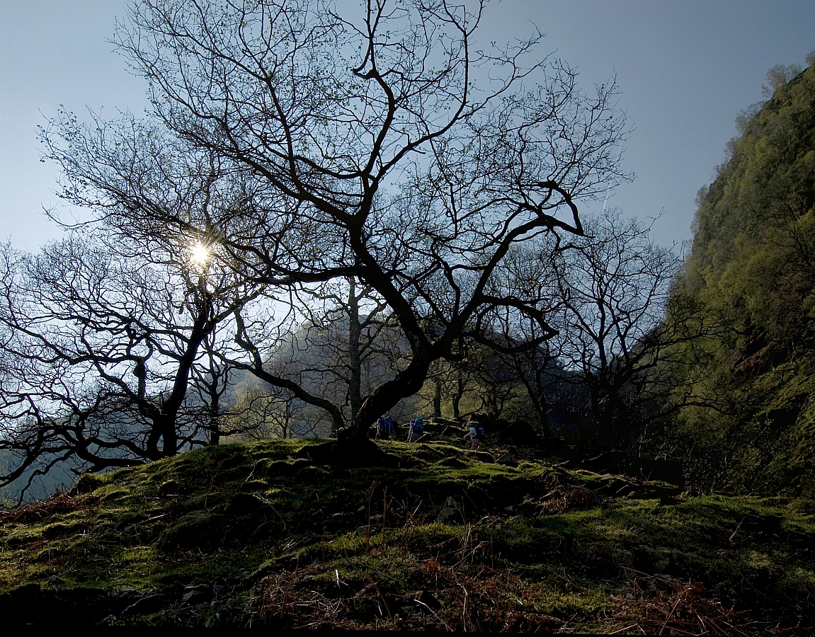
A lonely tree overlooks the path


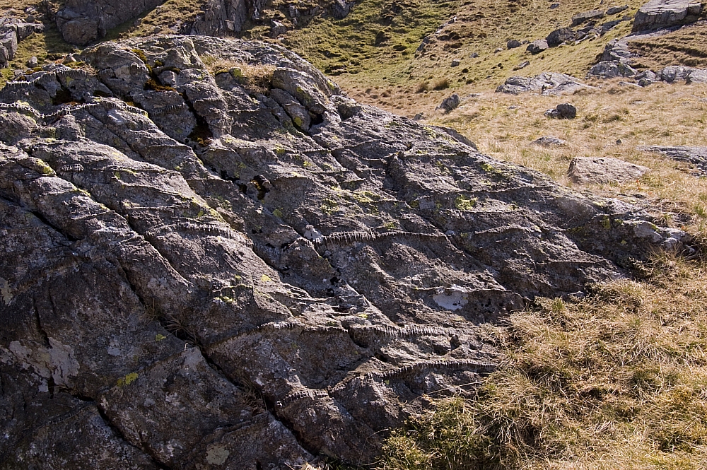
The Old Man - gnarled, craggy and weathered
The mountain also looks like that
🙂


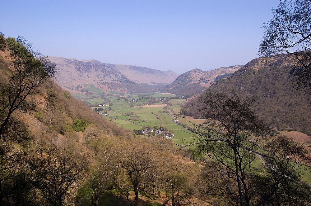
YHA Coniston Coppermines from The Bell


Another look back to the quarry car-park


Quarries below Sweeten Crag


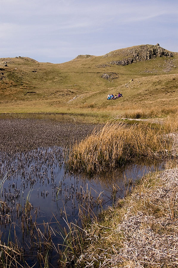
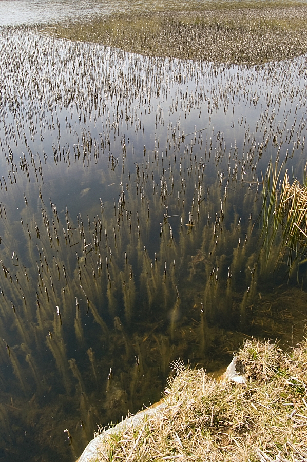
At the crossroads we turned left and headed up the track towards Low Water. There was evidence that others had been this way before us:


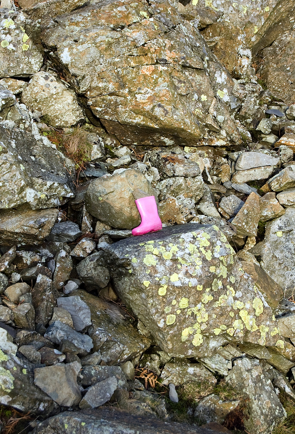
We never found the matching Therm-a-Rest 🙂


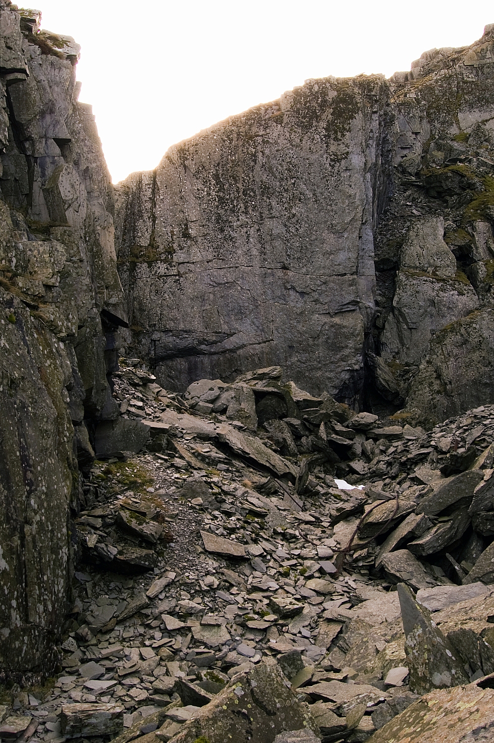
We paused for a cuppa at a convenient place and went off to investigate the relics of a long-gone industry:


Quarry buildings


More quarry buildings


How are the mighty fallen


Inside one of the quarries


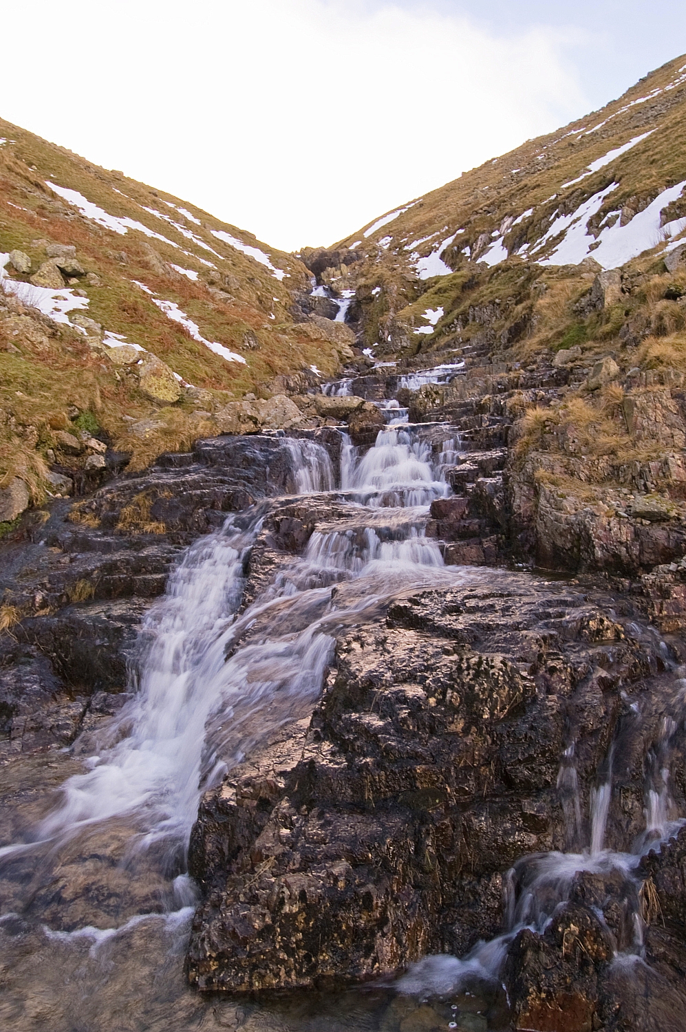
A short while later we were on the track above a thawing Low Water. One look at the gullies justified our decision to leave the pointy metalwork in the car:


Low Water


Low Water again


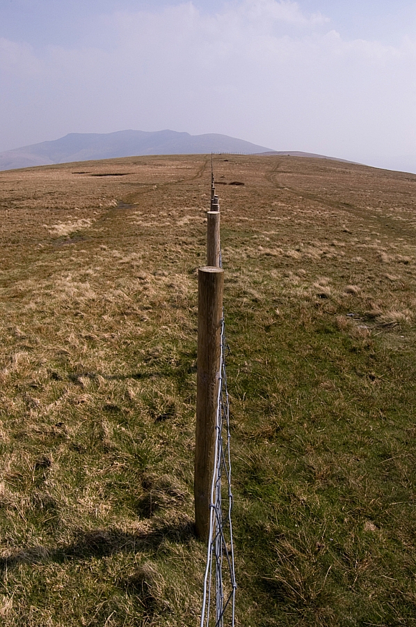
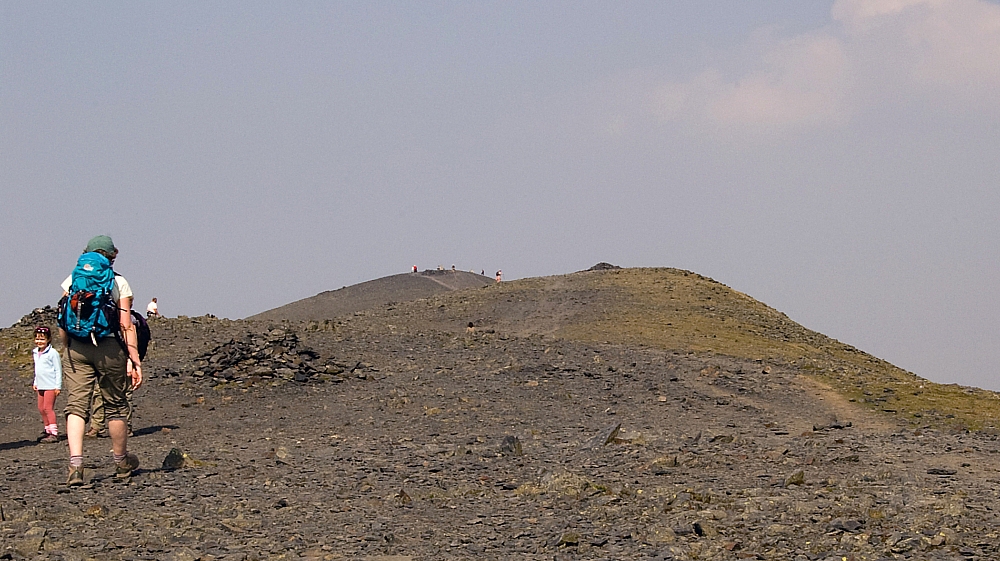
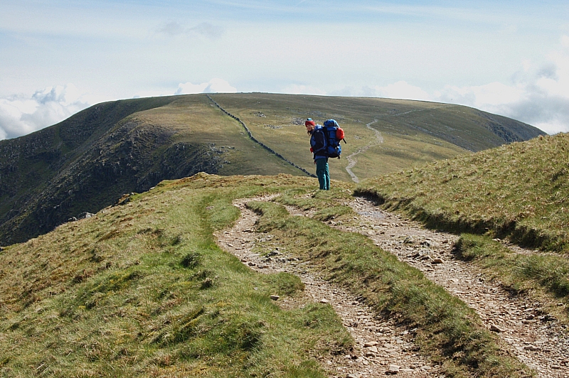
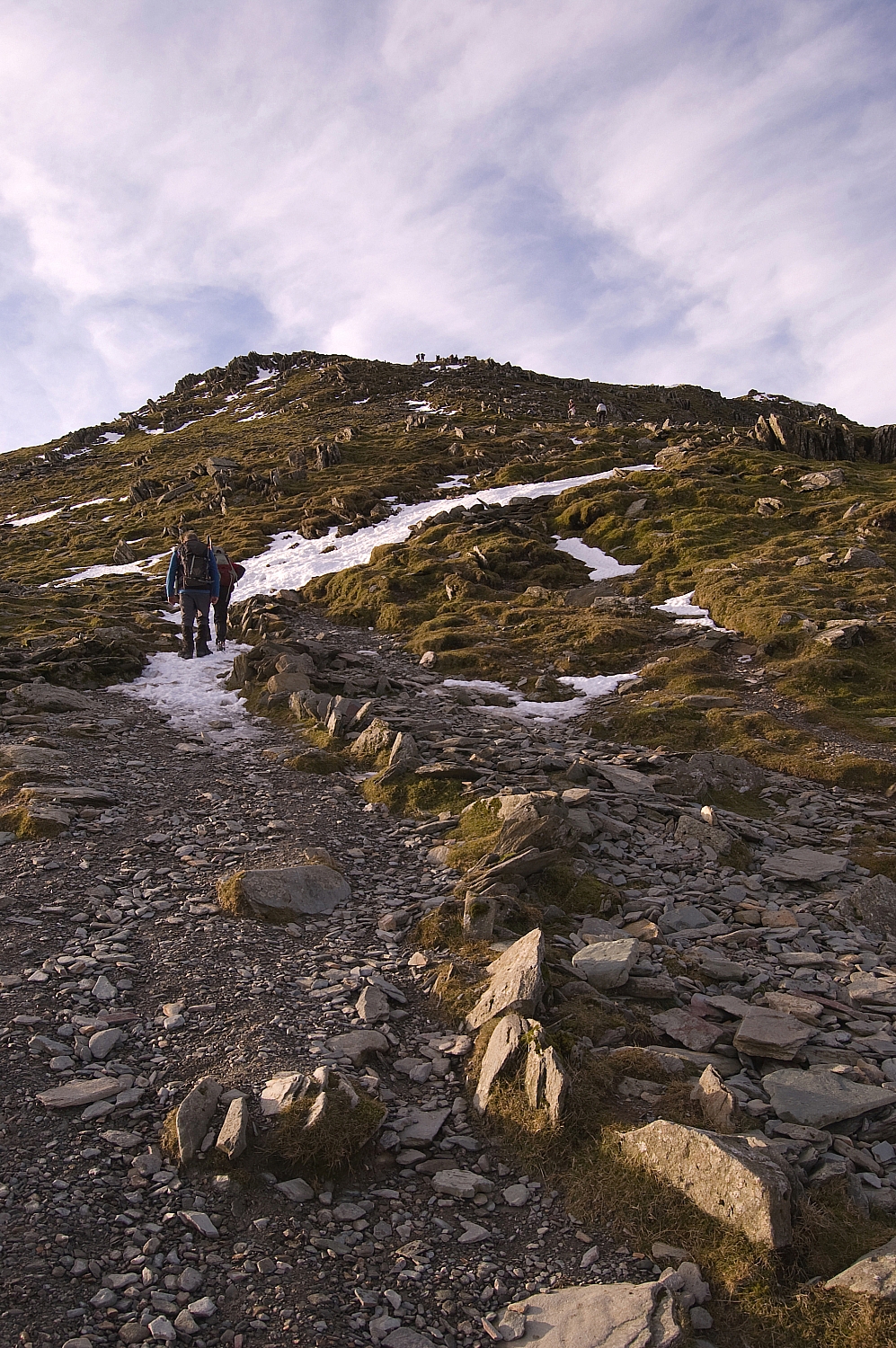
From there it was a short pull up snow-filled tracks and crag towards the busy summit. There were more photo-opportunities:


The final stretch


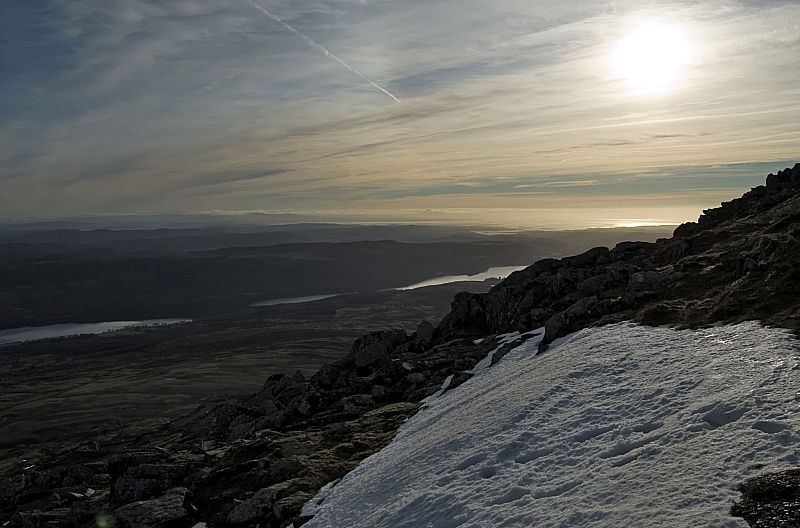
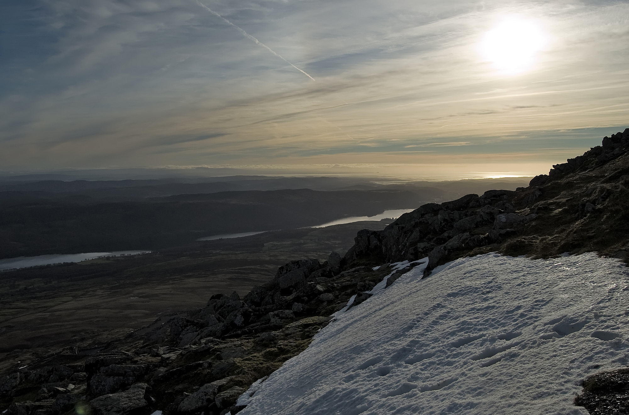
Coniston Water and distant clouds over North Wales


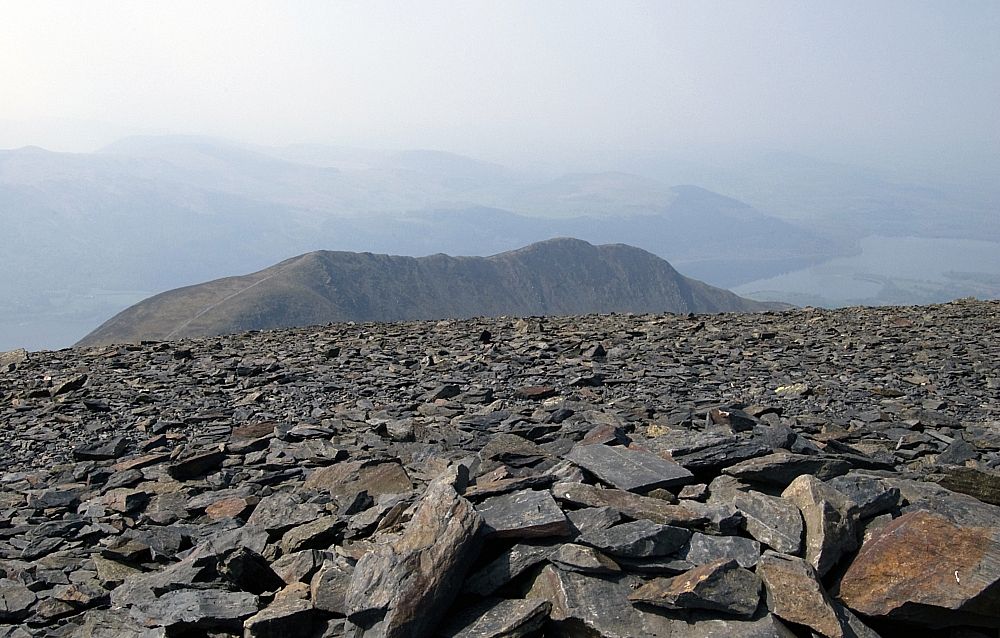
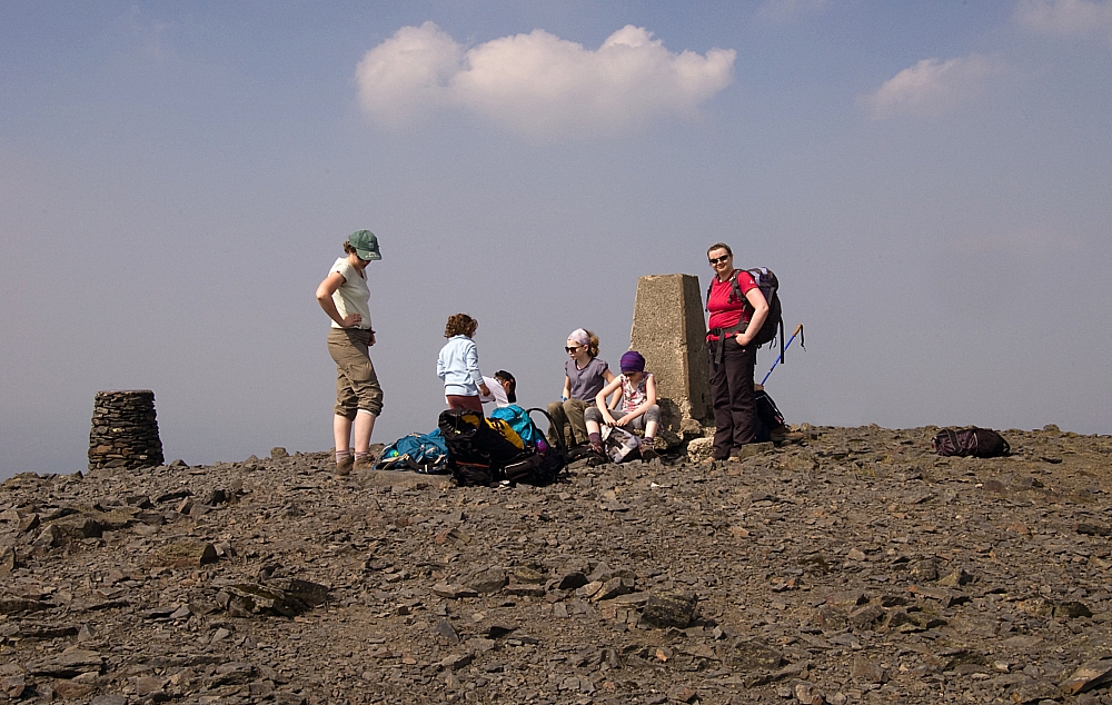
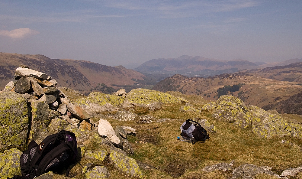
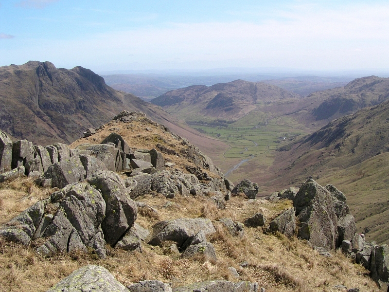
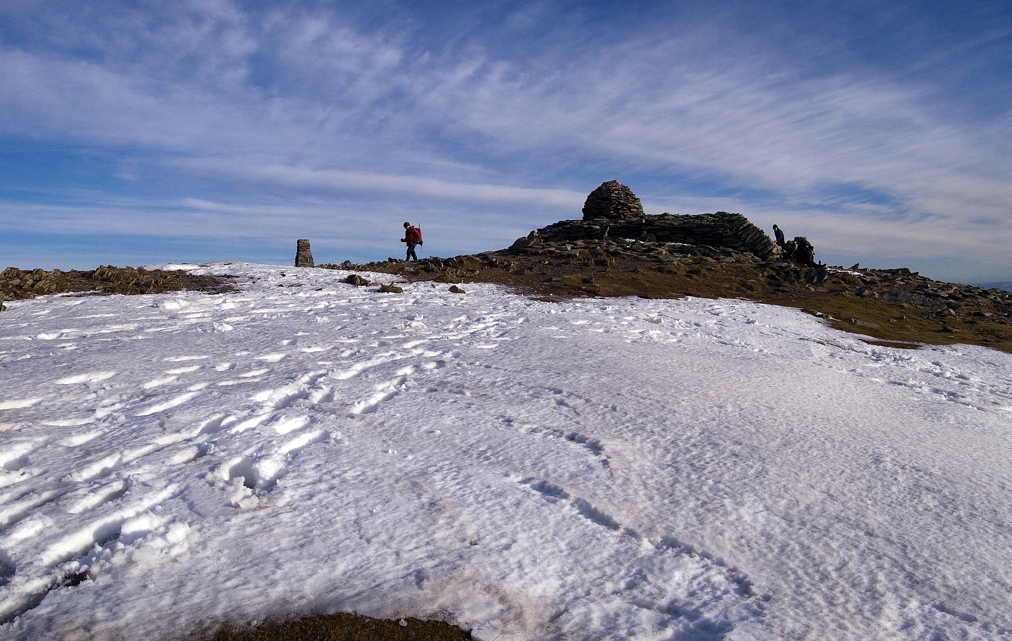
The summit was a busy place so I wandered off to take some pics while Frank took shelter for a snack-break. There was much to see:


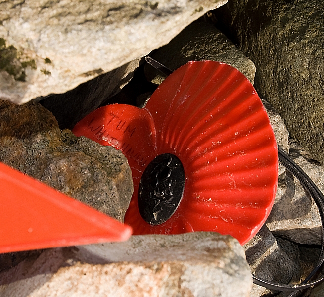
There were poppies tucked into the cairn - poignant reminders of folk that no longer walk these fells


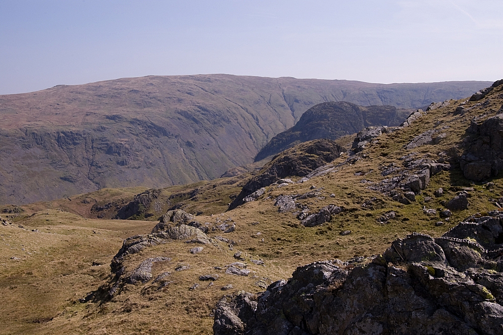
Looking towards the Scafell range


An old survey mark carved into a rock in the plinth of the cairn.


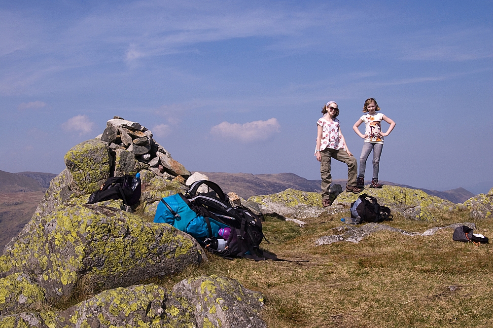
The trig-column and the summit cairn
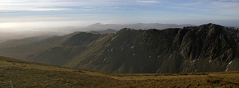
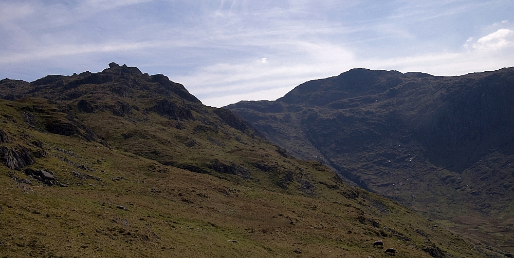
 

The Dow Crag ridge


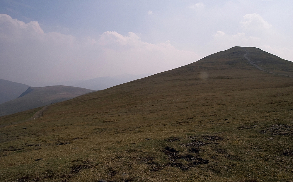
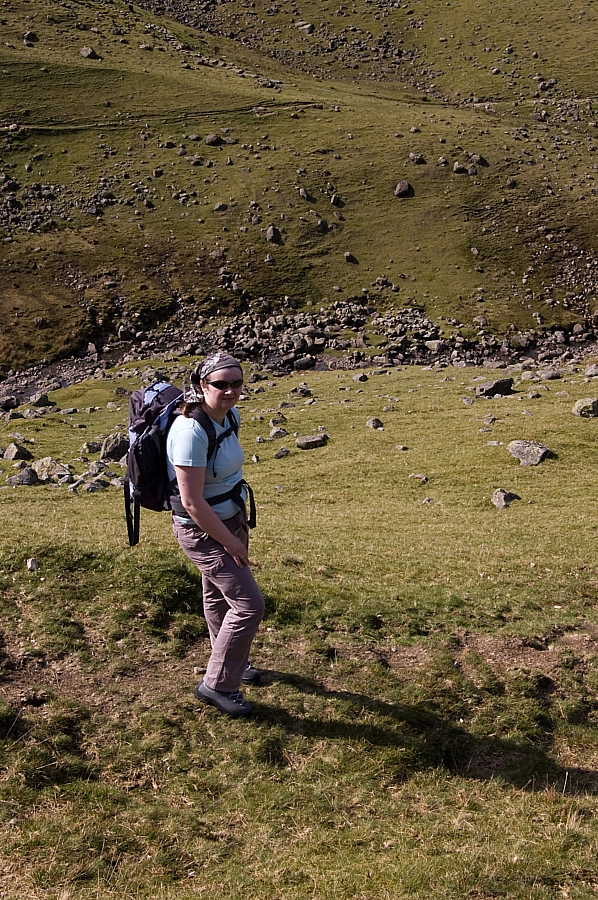
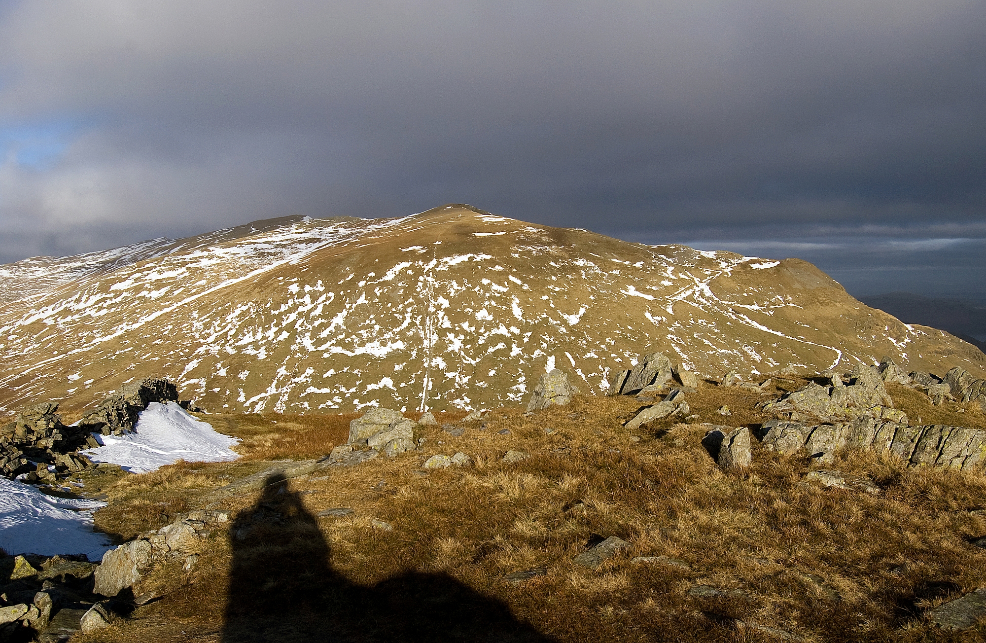
From there, we headed off towards Brim Fell. Here's me, pausing during the easy stroll:


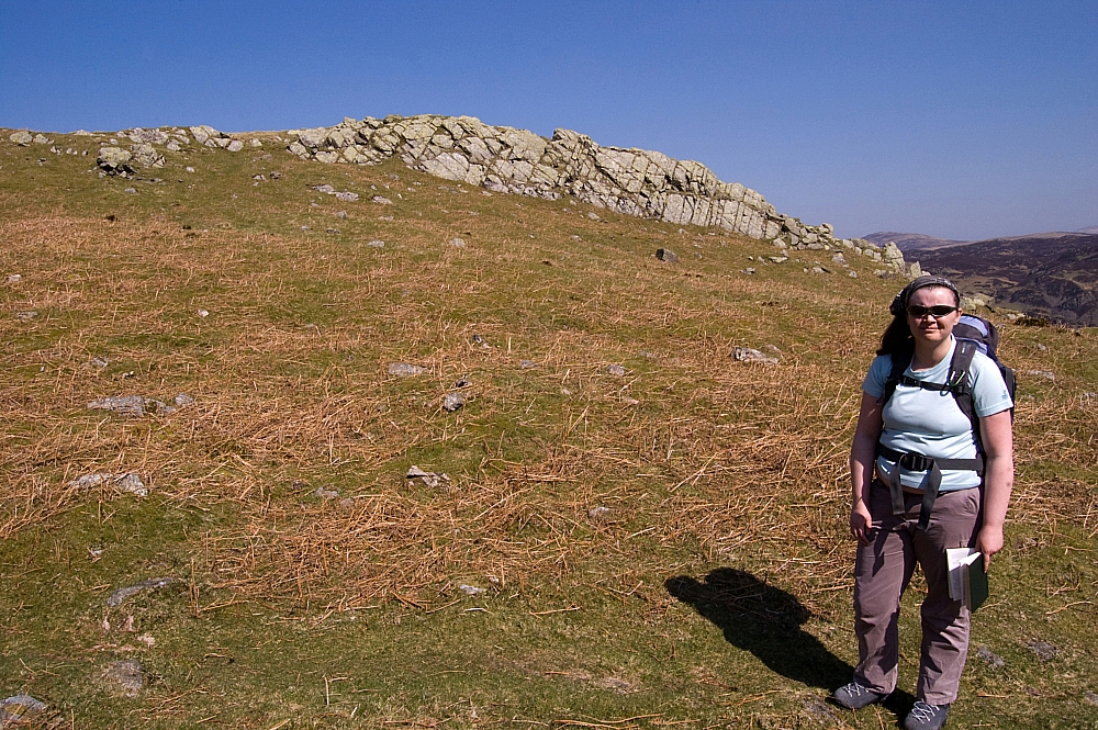
Still refusing to wear a hat despite the lack of natural insulation up-top


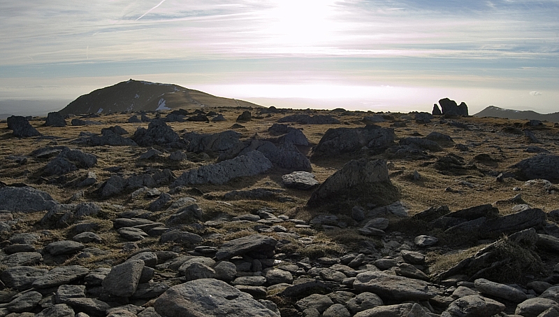
Looking back at The Old Man from Brim Fell summit


Brim Fell cairn and another view of the Scafell range


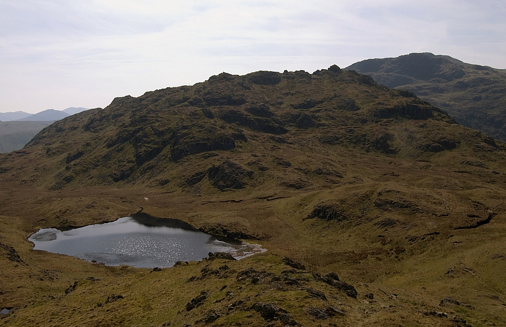
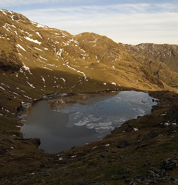
From there we headed down to a snowy and busy Goat's Hawse:
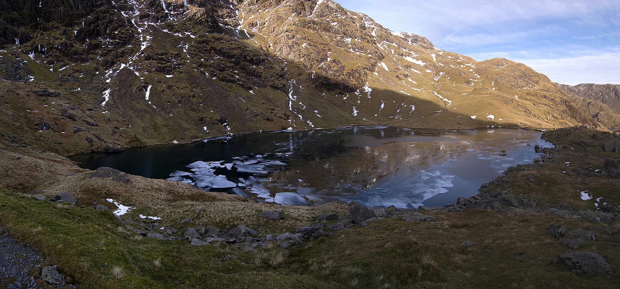
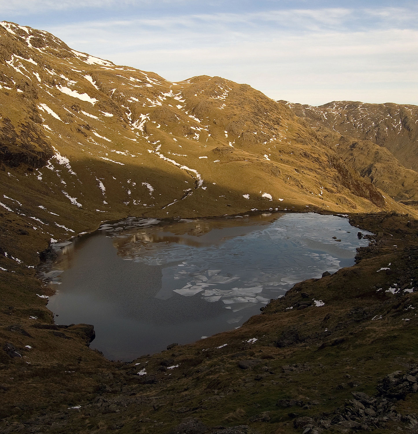
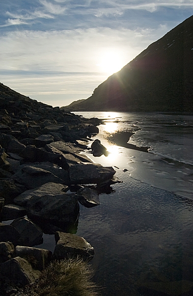
 

Goat's Water


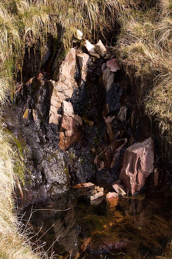
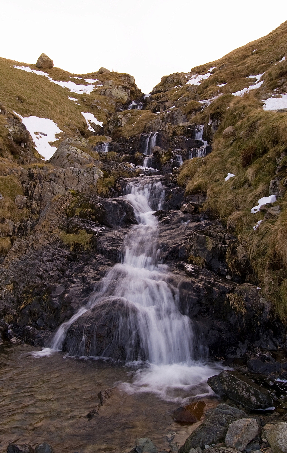
We paused alongside Goat's Water for a while, there was much to see, do and discuss:


Dow Crag's magnificent rocky architecture


Ice on Goat's Water


Impact on ice on Goat's Water


Light on ice, water and rock


From there it was a simple walk back to the car. We discussed much on the way down, not least the fact that the absent Mike was supposed to be providing a hearty chilli for the evening meal. Frank's selection of cheeses and my Chicken Tikka bites with Tempura Prawns weren't going to be enough...

After we'd got ourselves sorted at the hostel we headed off to the village shop in search of ingredients. Fish, rice and onions were liberated from the Co-op. The fish needed time to defrost so we took it into a warm pub for an hour or so, as you do. After suitable rehydration we went back to the hostel to concoct our evening meal - the prawns made a decent starter, Frank's rice, fish and chicken dish was good and the bread-pudding with custard and caramel was indeed as stodgy and filling as ever. The bottle of red went down well too while we set the world to rights before turning in for the night.

To be continued...