Friday night was uneventful - some light breeze and some occasional drizzle but not enough to warrant closing the flysheet. I'd been snug as a bug, the Lifeventure Downlight 900 bag on test being on the warm side of comfy. Mike said that he'd been a bit cold and was regretting having left his down bag in Wales the previous weekend. Nothing that a good breakfast couldn't cure, though.
Drying the gear in the morning sunshine
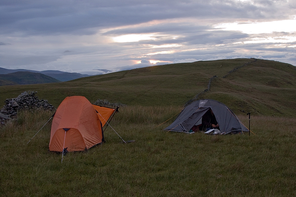
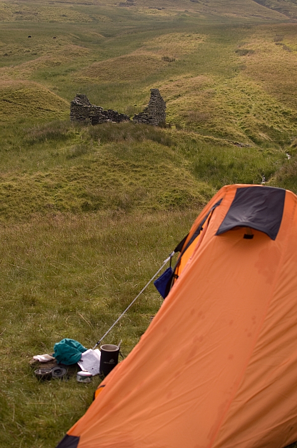
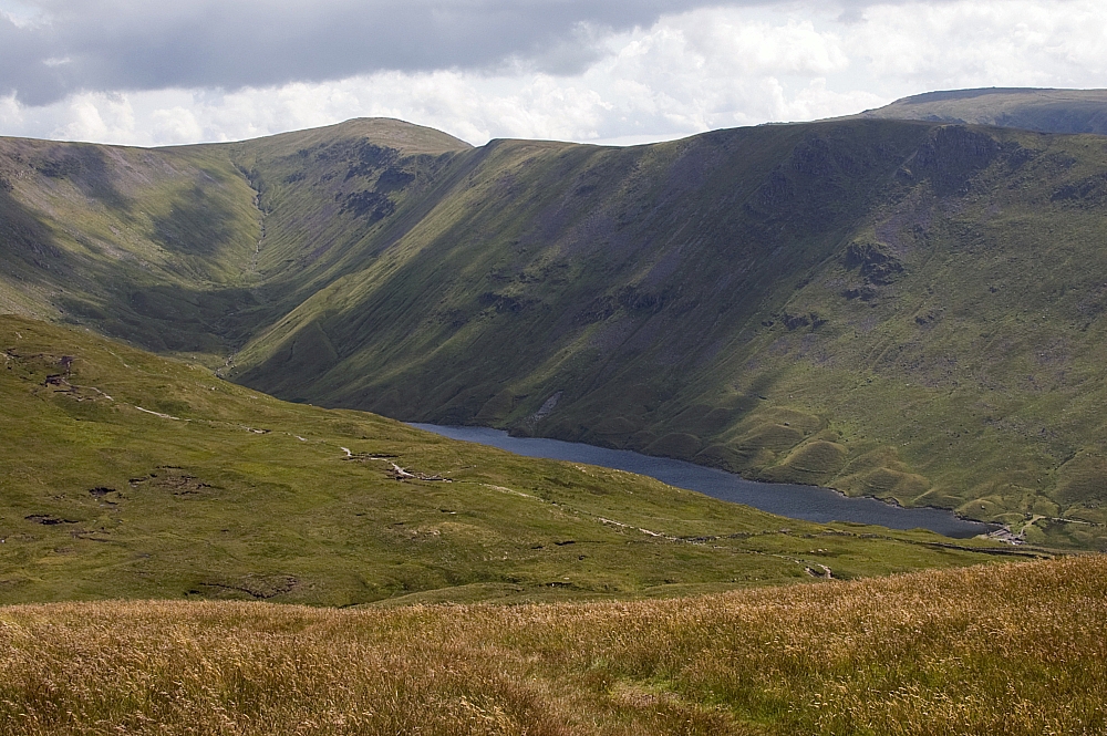
Looking back at Brownthwaite Crag and Pikeawassa from the overnight pitch
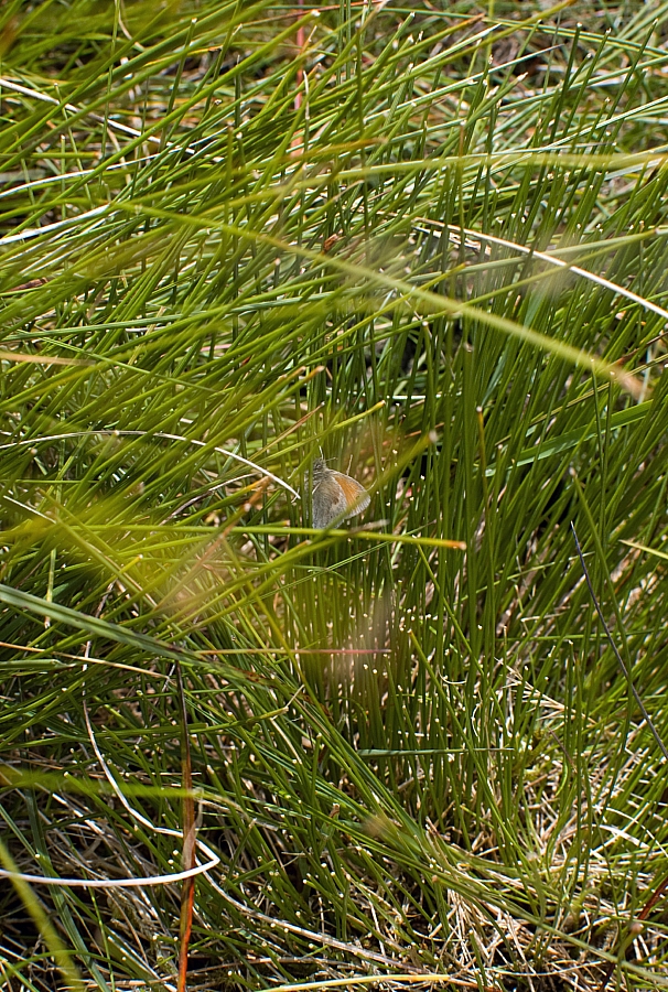
By the time we'd packed up and checked that we'd left no lasting trace the morning was heating up nicely and it was only a matter of time before the sun would break through the clouds. We wanted to be on the High Street before it got too hot so we crossed the shoulder of Gowk Hill to intercept the track to the Keasgill Groove, scattering many moths and Small Heath butterflies from the grass as we went:
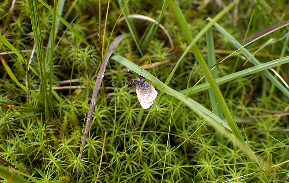
Small Heath (Coenonympha pamphilus)
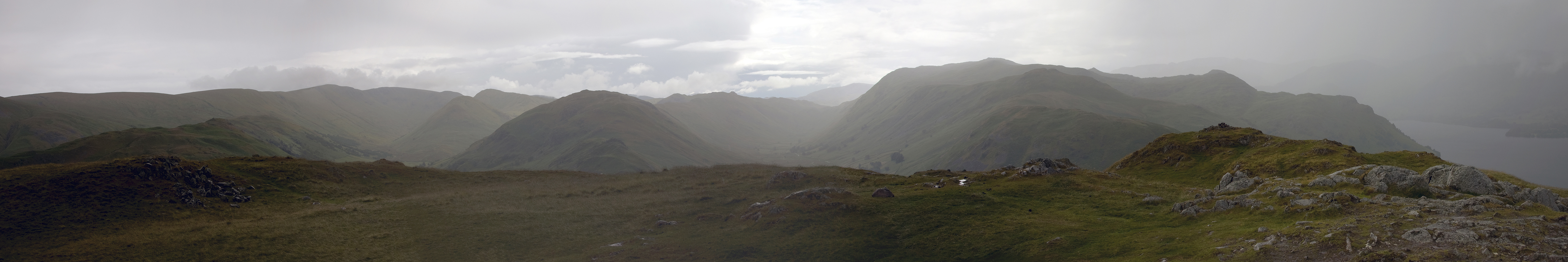
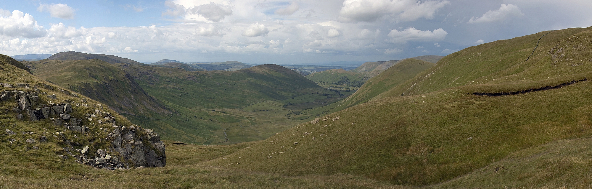
On the track to the Groove we stopped for a breather and were rewarded with great views behind and below us:
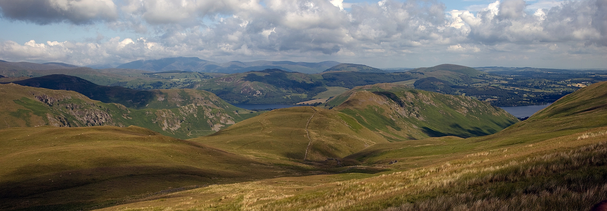
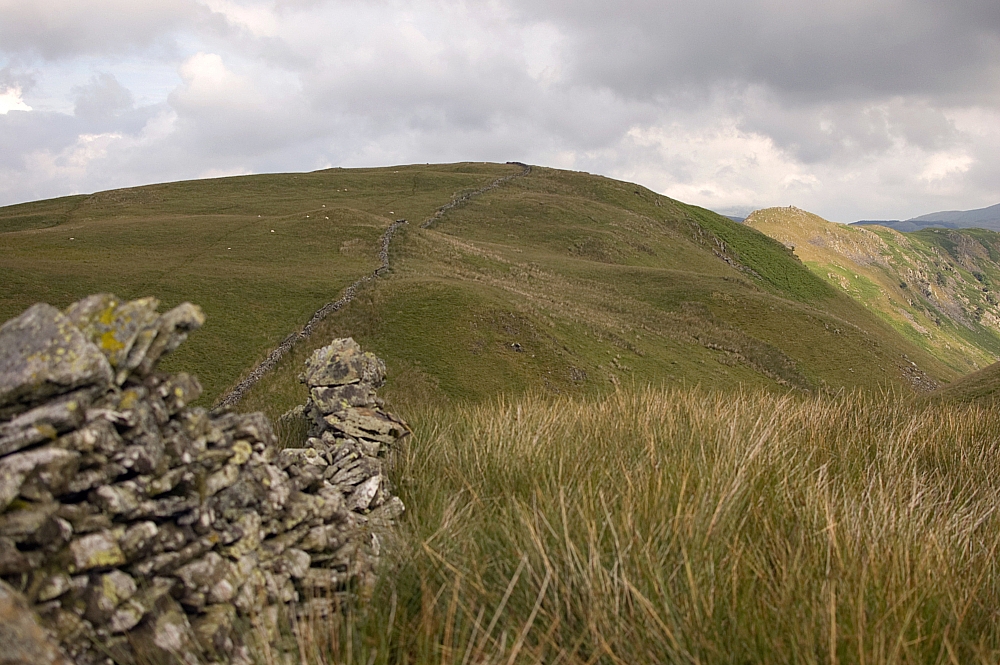
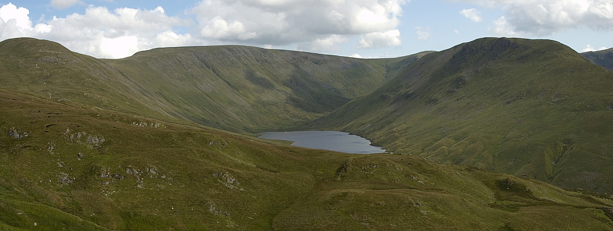
The Gowk Hill - Steel Knotts ridge, our first-night pitch is in the dip below centre
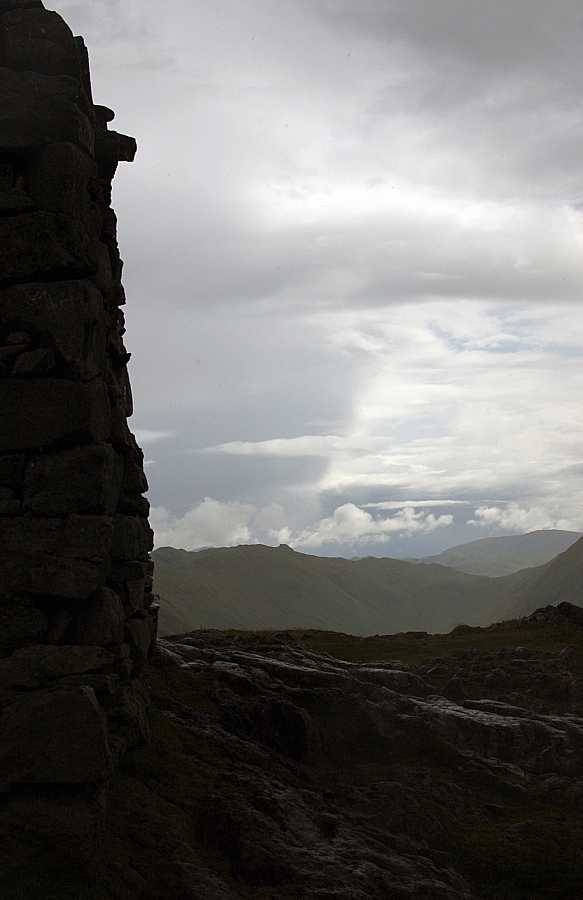
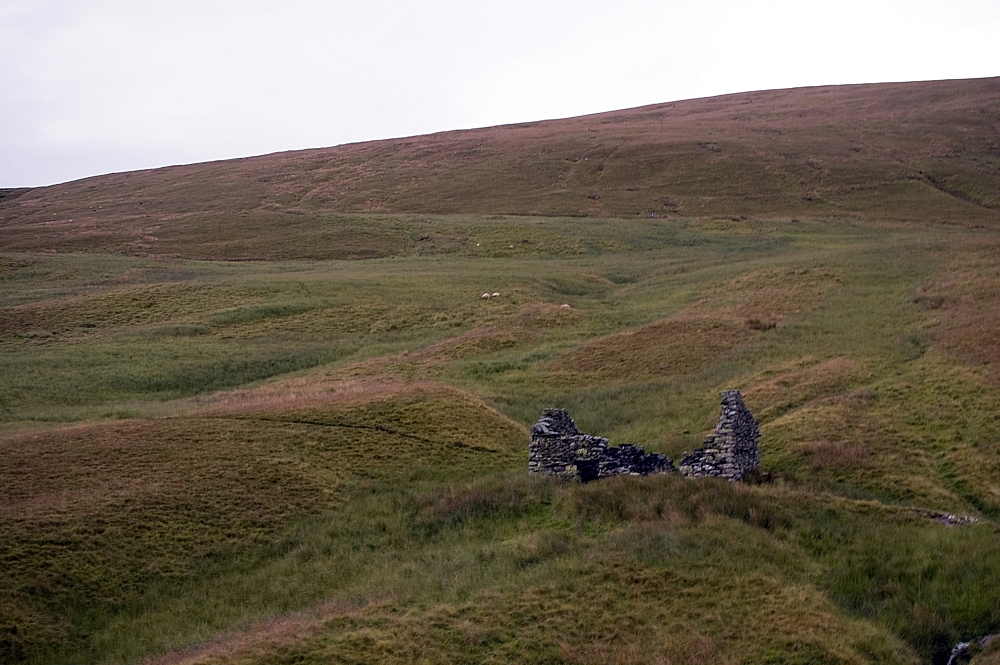
Looking down on The Bungalow that was built for Kaiser Wilhelm
After reaching the ridge we headed southwards and after drawing water at Redcrag Tarn we sat in the sunshine in the lee of the deer-wall. Snacks and tea were consumed while I strapped my heels. Refuelled, we struck out for High Raise to find some rocks for Mike to walk on:
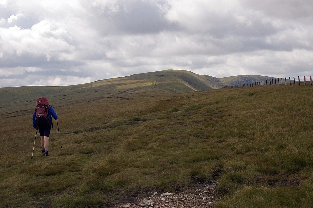
Mike strides out towards Redcrag Tarn
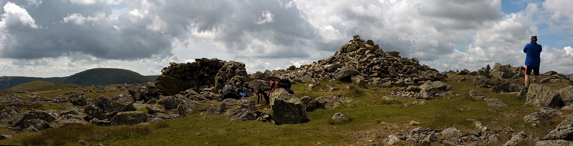
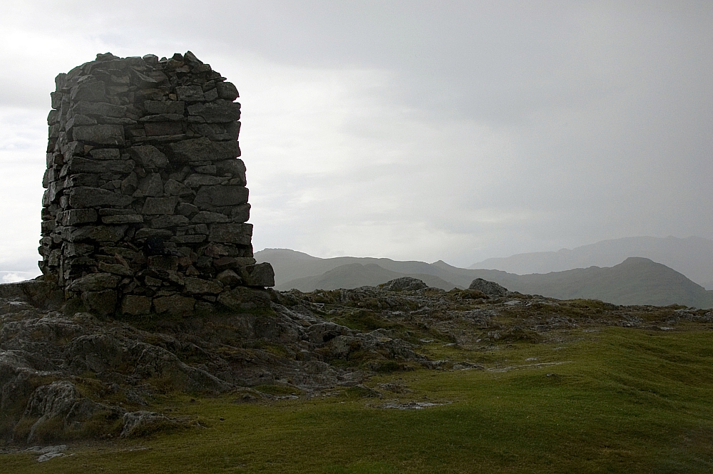
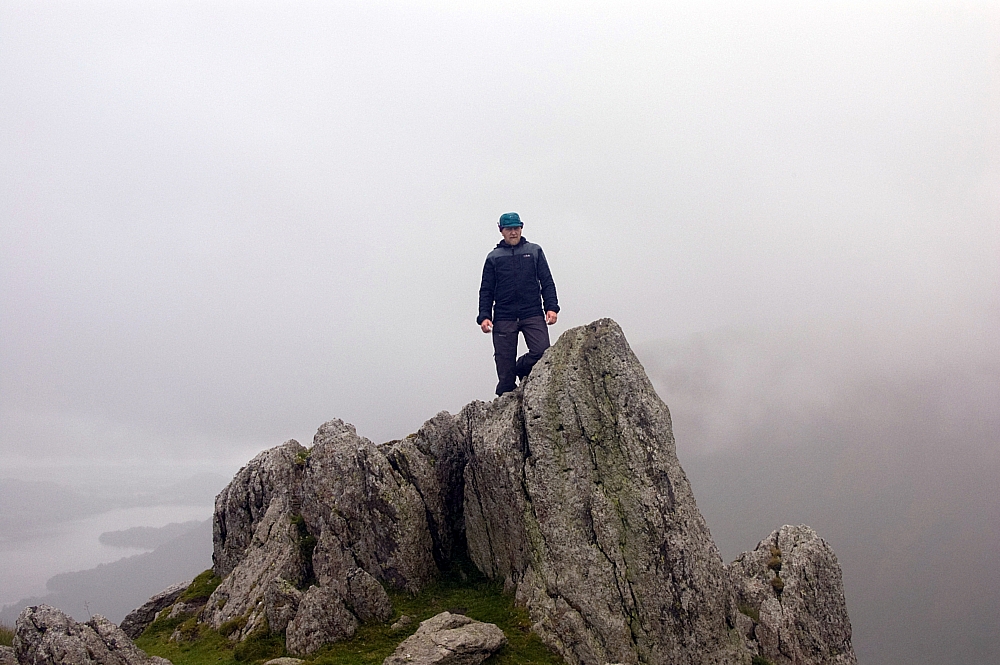
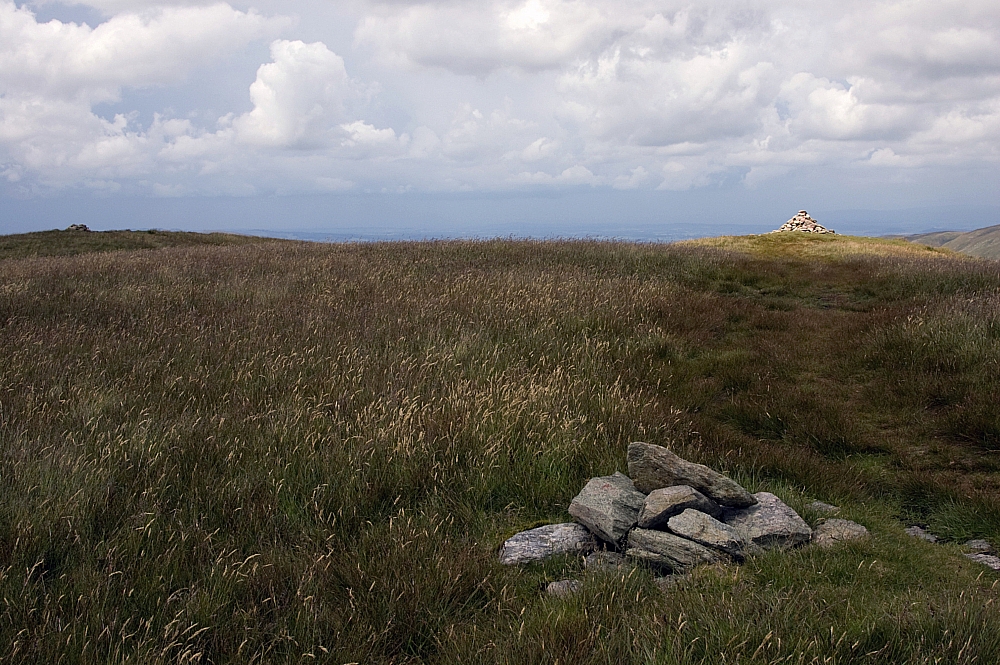
High Raise summit
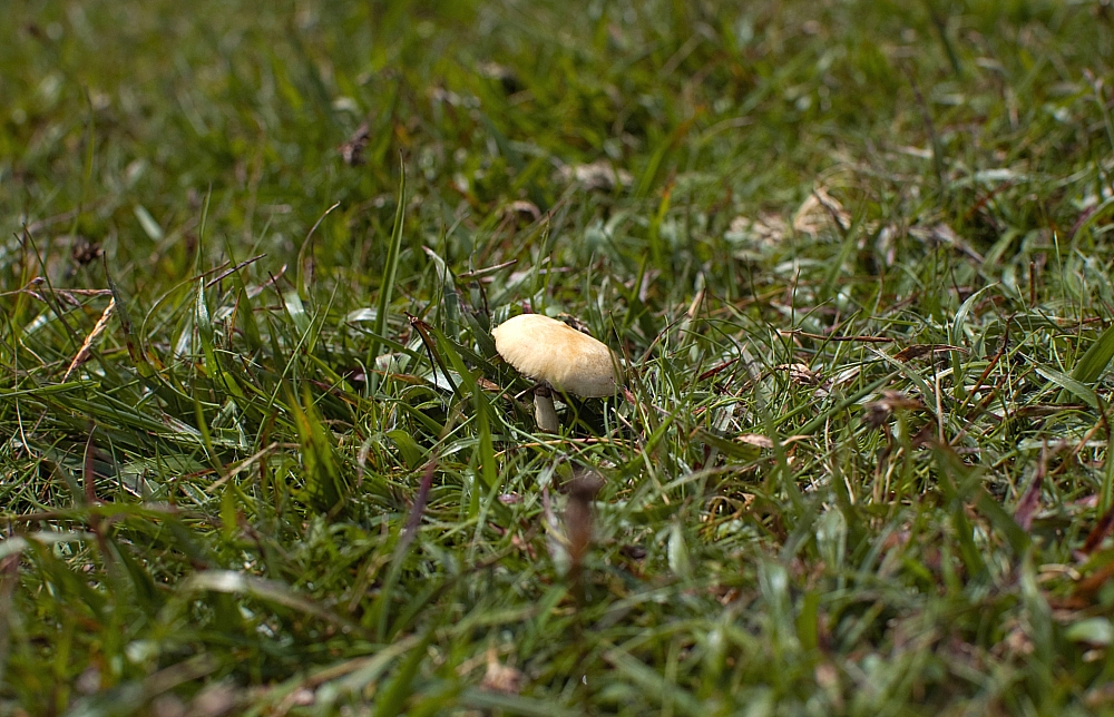
A mushroomy thing
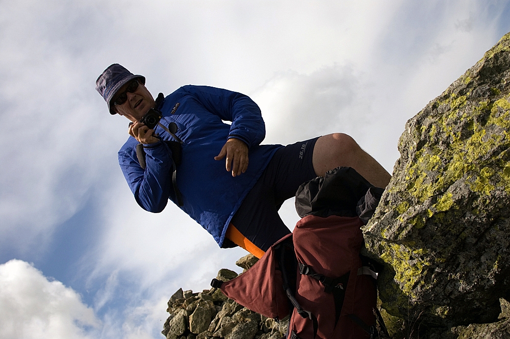
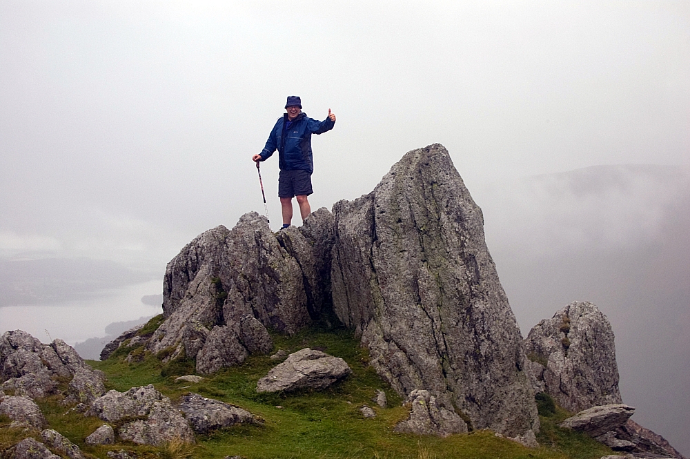
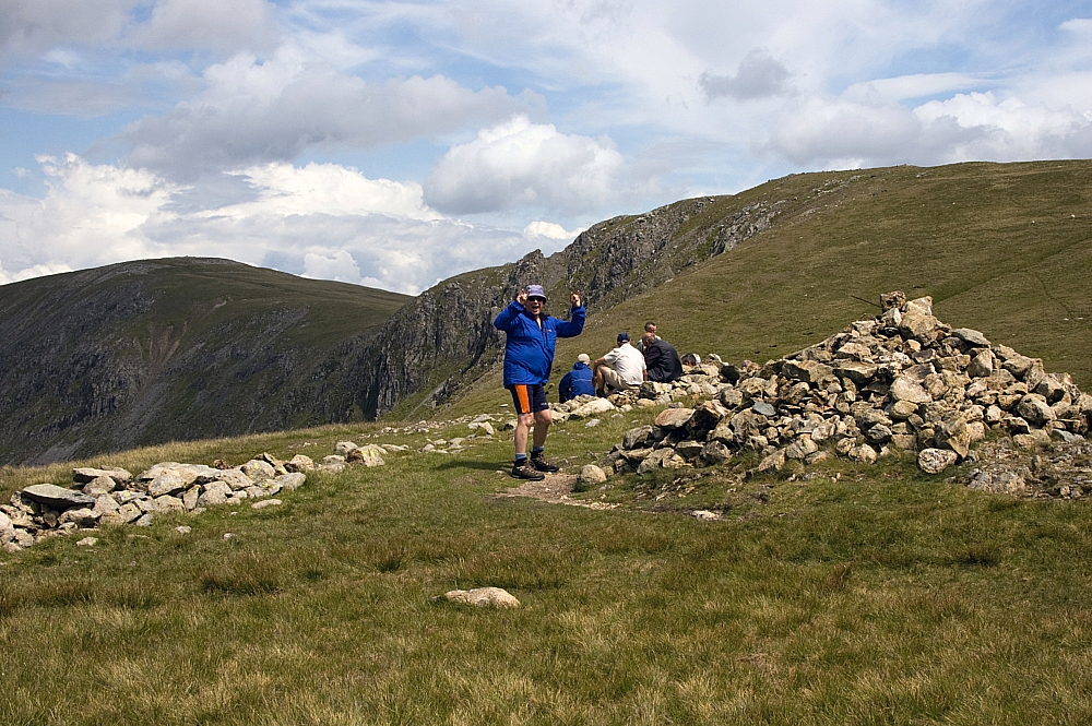
Snapping him snapping me
We considered a detour to Kidsty Pike but opted for the direct track to Rampsgill Head instead. After that we headed for the Straits of Riggindale and after a good look down the valley we made our way to the easy summit of The Knott:
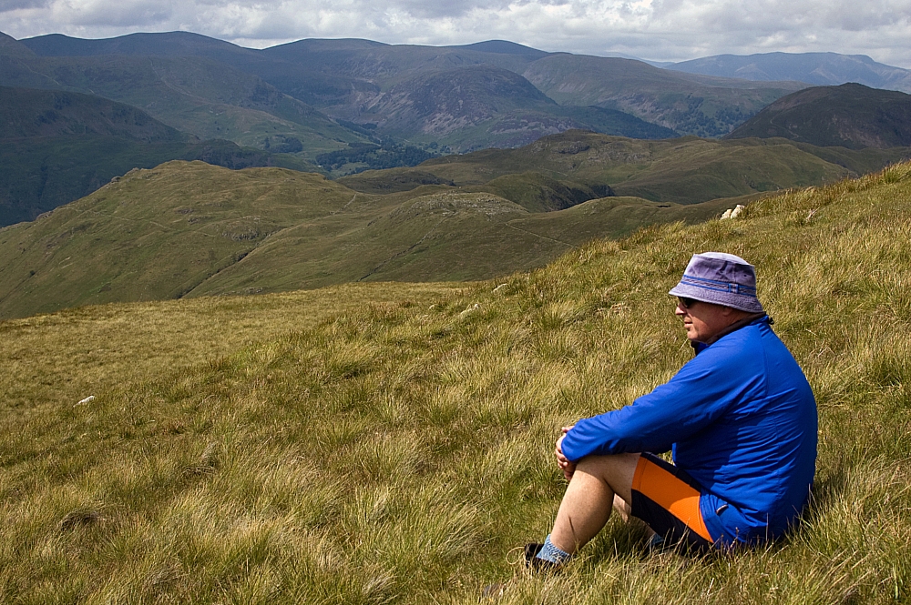
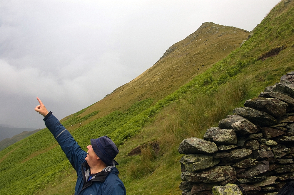
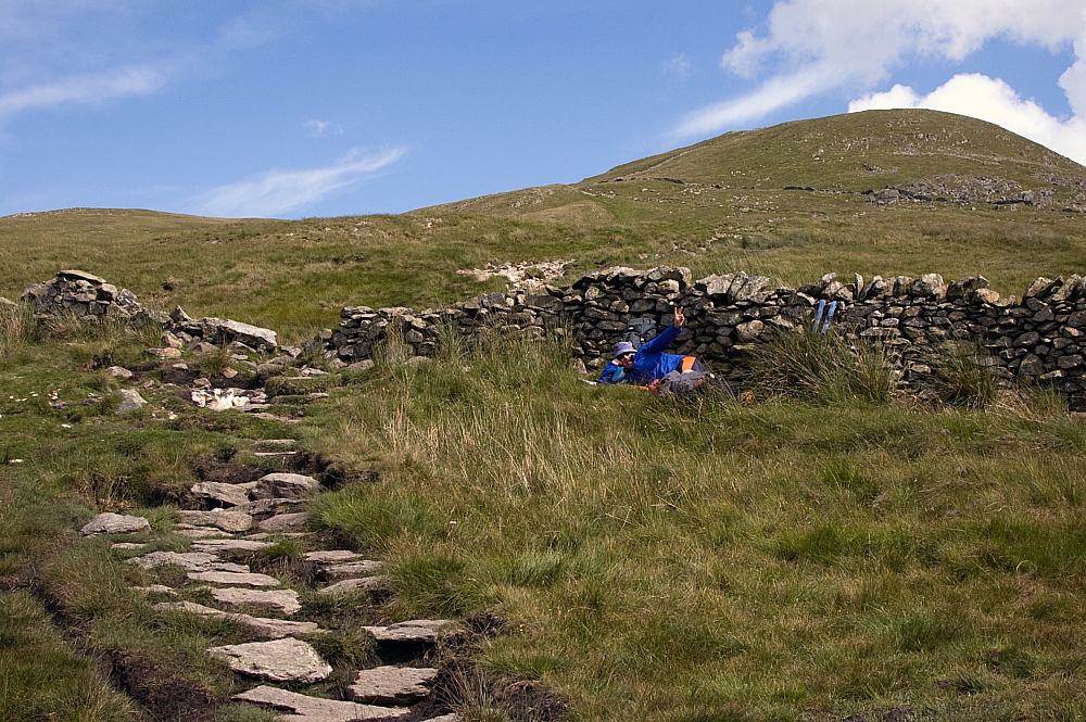
Mike contemplates the scenery
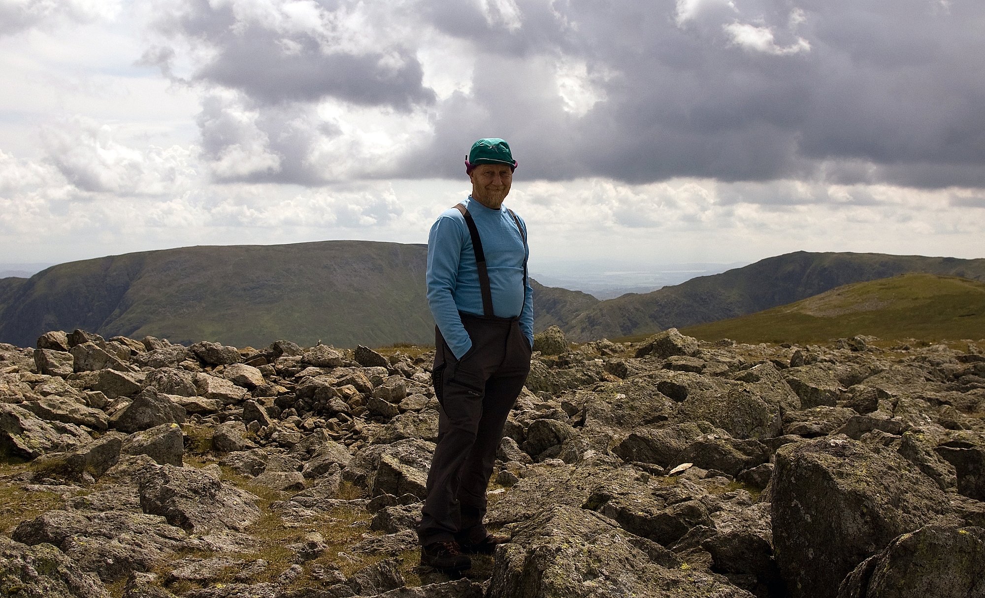
At the summit of The Knott, Mike gets over-enthusiastic
We made our way down to the wall near Sulphury Gill where Mike had a doze while I nipped up to the top of Rest Dodd:
The three cairns on Rest Dodd
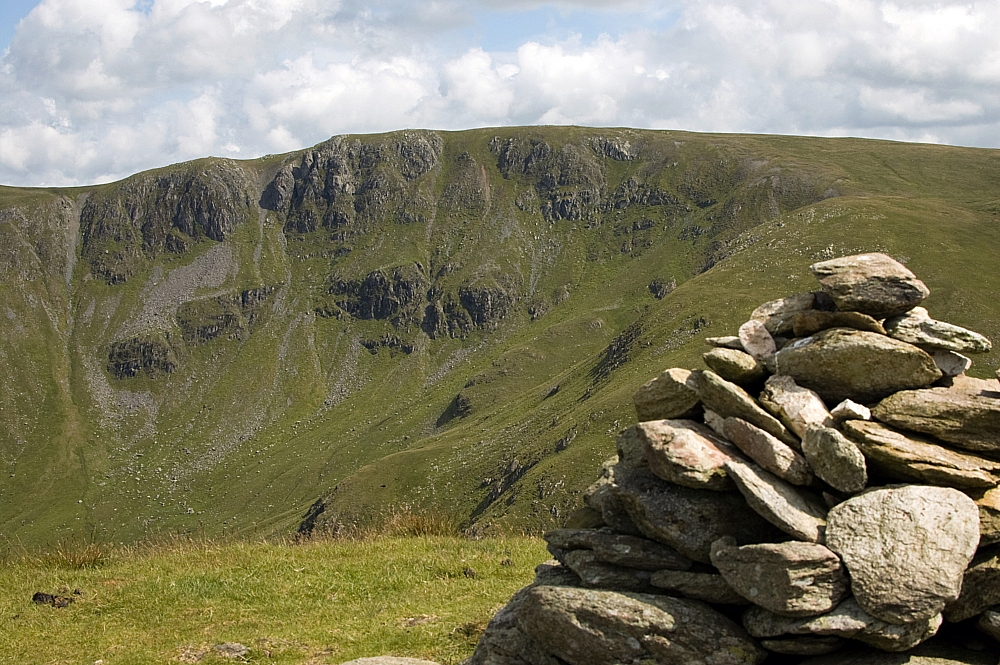
Rampsgill Head crags from Rest Dodd
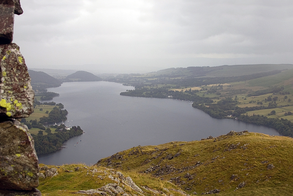
A glimpse of Angle Tarn
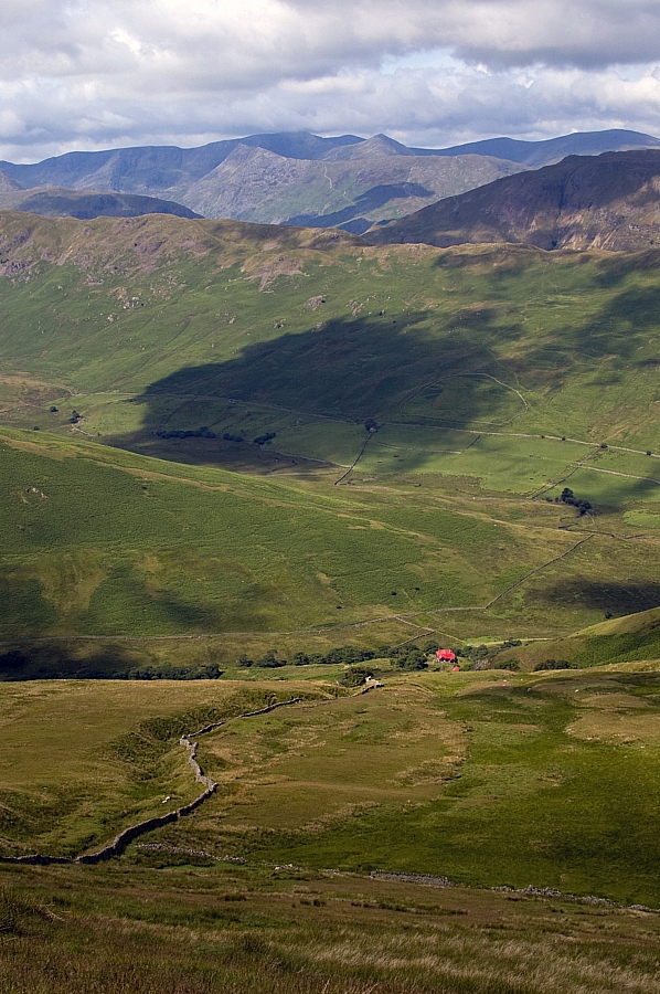
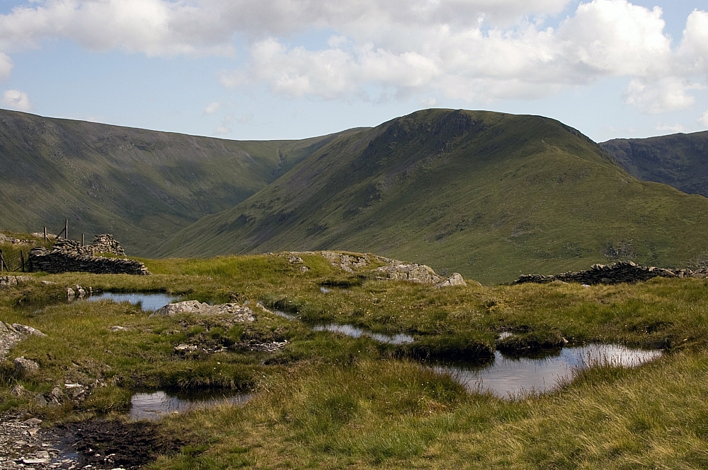
I had intended to bag The Nab from there but I wasn't sure that I had enough water or energy for the return trudge. The day was hot and I didn't want to get Mike worried if I got myself into hassle, so I retraced my steps back down. The Hayeswater valley looked particularly good in the dappled sunlight:
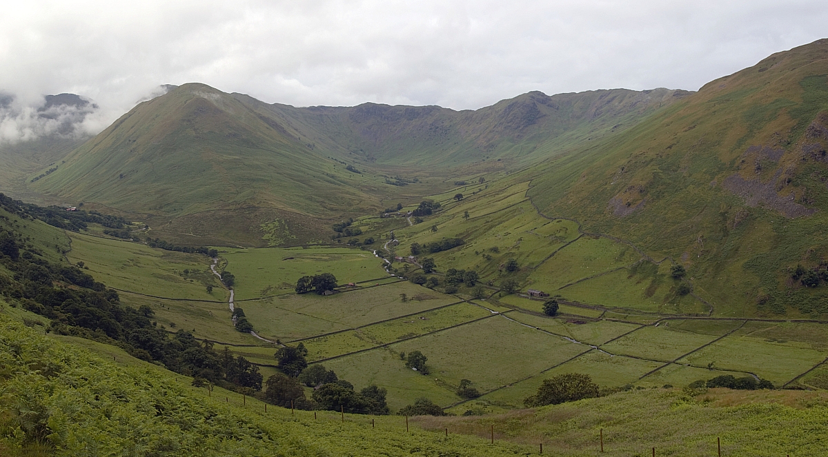
Thornthwaite Crag, Gray Crag and Hayeswater
Another Small Heath
R & R
From the wall we made our way down the track towards Angle Tarn:
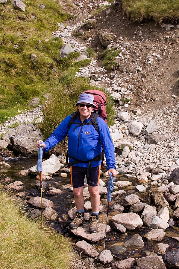
Mike crossing Cheesygrin Beck
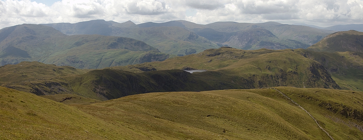
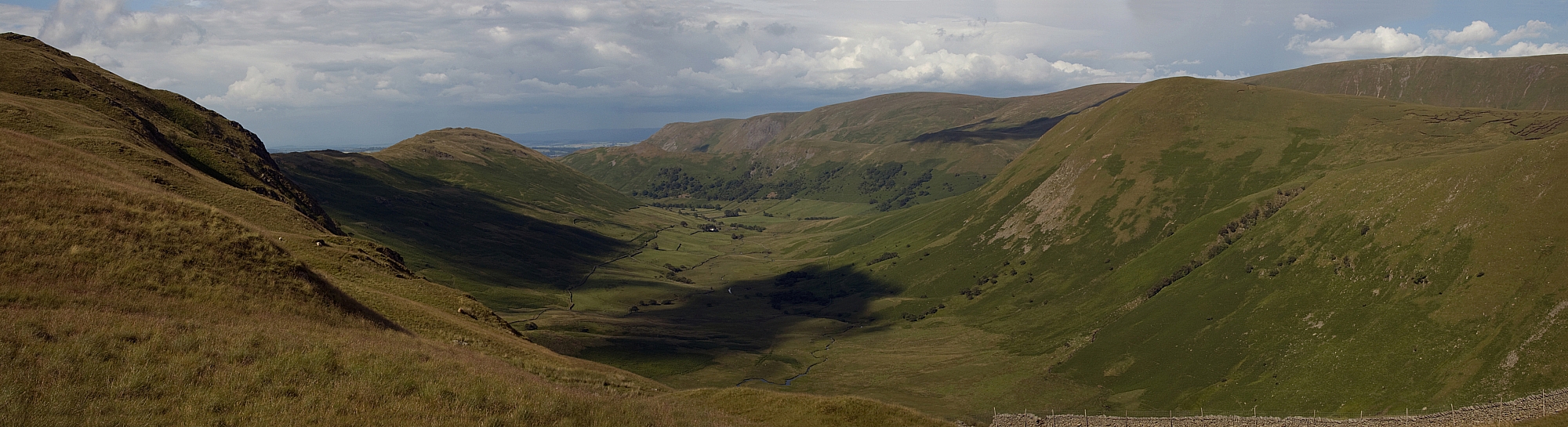
From the track there were fine views back towards High Street:
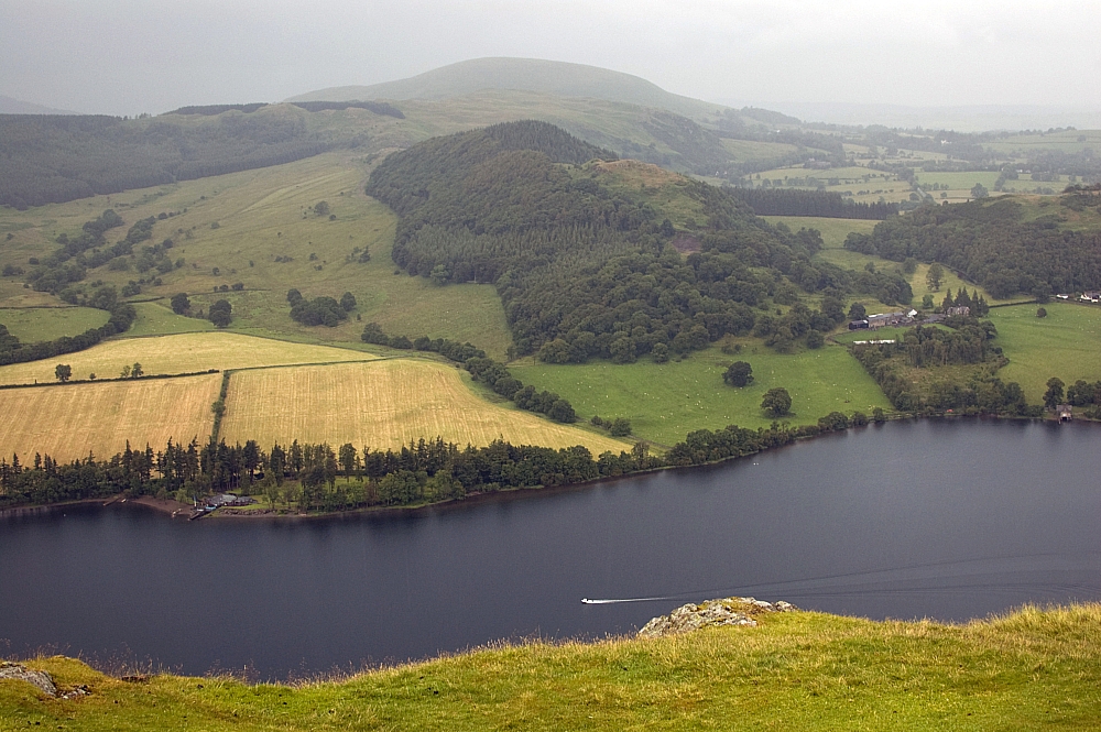
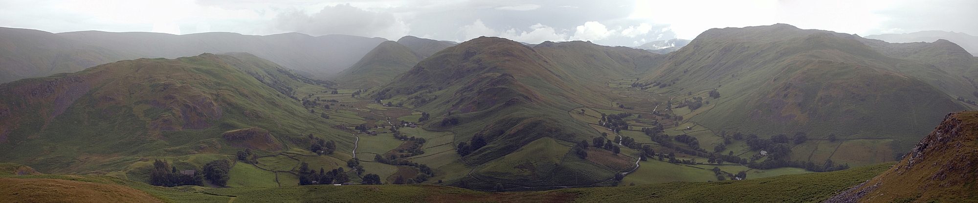
Hayeswater and surrounding fells
We paused for a while on Satura Crag, and even contemplated overnighting there. It's a curious place with good views, small tarns, outcrops with interesting geology and quite a few secluded places to pitch small tents:
Bannerdale from Satura Crag
Gray Crag from Satura Crag
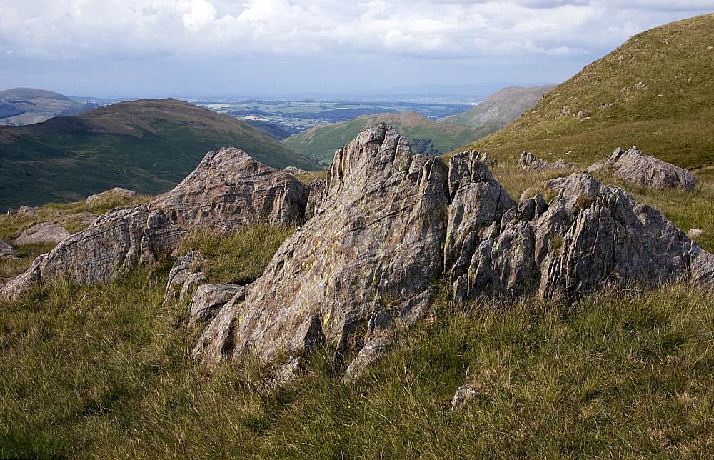
Outcrops
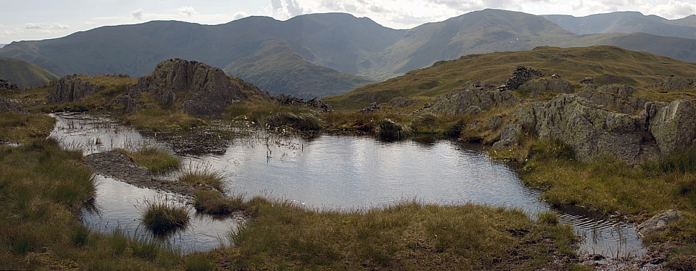
Small tarns on Satura Crag
From there it was a simple stroll down to Angle Tarn. We could see two other tents set up there but it's a big enough place for pitching without encroaching on anybody else's privacy. On the way down I took a small detour for a look down into Bannerdale:
Bannerdale
Down by the tarn we were soon set up for our second night. Before long we were fed and watered, the rest of the evening was devoted to sitting in the sunshine, shooting the breeze and a little exploring with the camera:
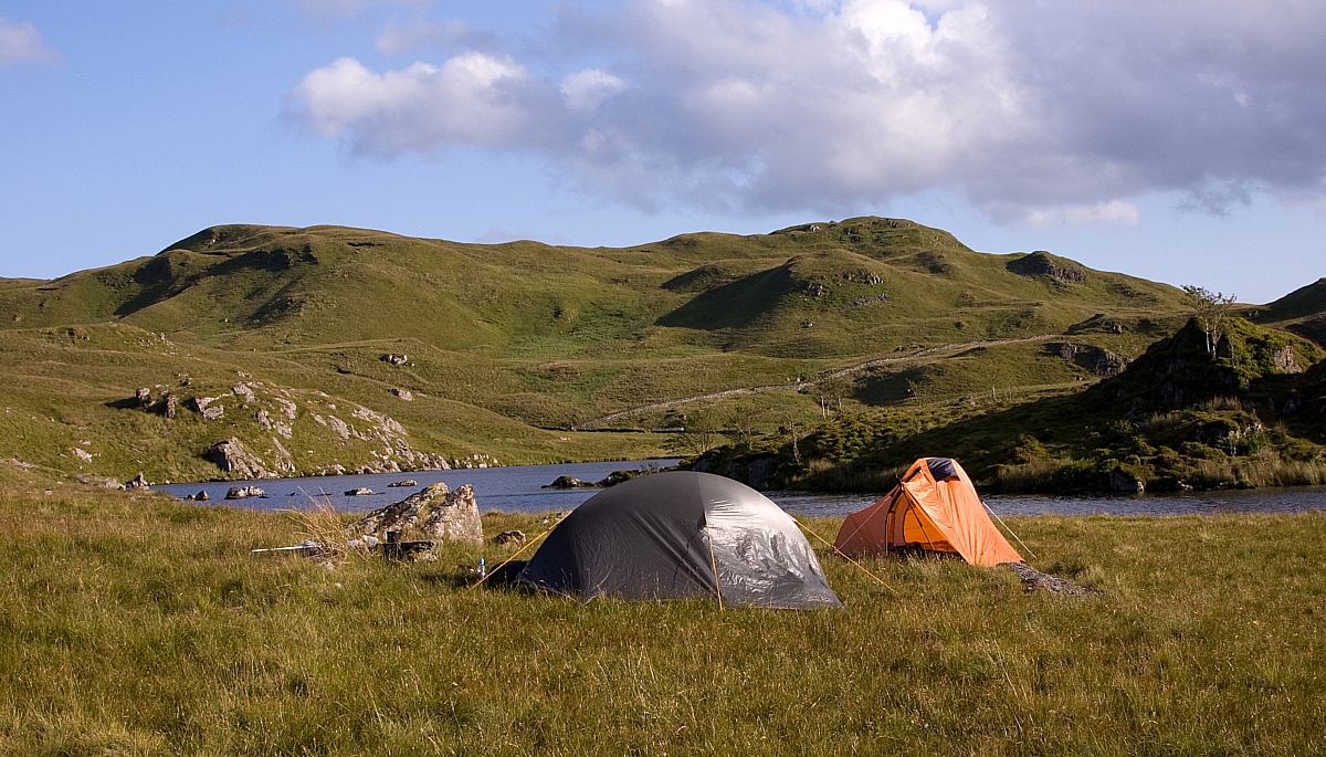
Pitched at Angle Tarn
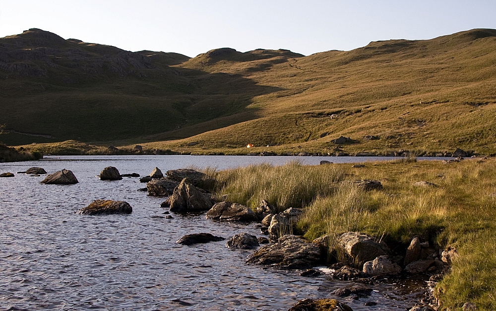
Towards Angletarn Pikes
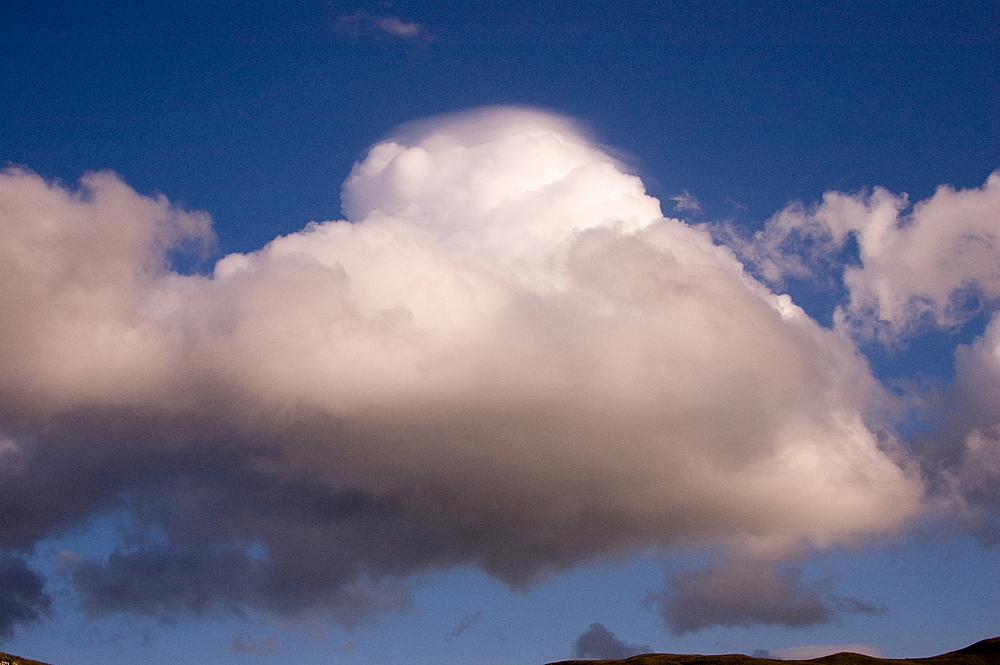
A big cloud with fuzzy little cloud on top - quite an odd thing. A pileus cloud, perhaps?
Camo bird
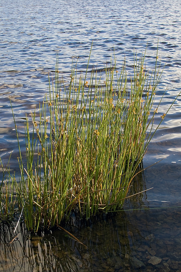
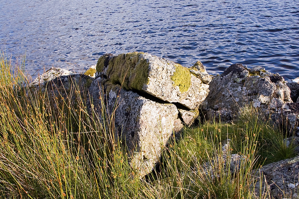
Down by the waterside
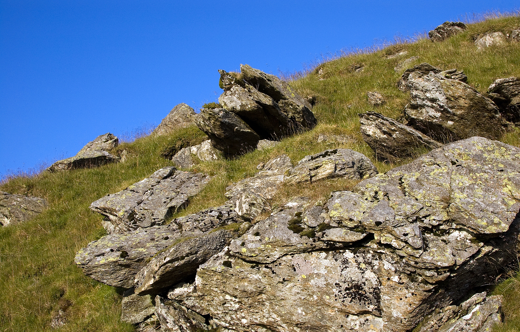
Rock
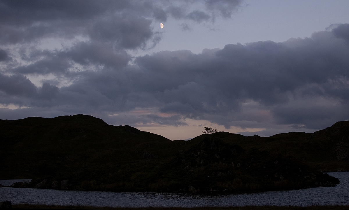
Moon over Tracy Island
To be continued...