
Monday dawned still, dull and damp after a fair bit of overnight rain. There was a full cover of low cloud which threatened a drizzle that never happened. The tops of the surrounding hills were obscured. For some reason the weather's been like that or worse every single time I've been to the Peak District.
I was grumpy again, having had an awful night trying to sleep on the slightly-padded torture-rack that masqueraded as a bunk-bed. Maybe a hearty breakfast would cheer me up.
Well, no, it didn't. For a start they don't serve porage. After slumming it with cornflakes I queued for the cooked items only to be pissed off by the ignorant twat in front of me who decided to use the bacon/sausage tongs for the bacon, the sausage, the salami and then the cheese, despite the fact that there were other tongs set out for the latter two items. To make it worse, he dropped his cheese onto my plate and didn't have the manners to apologise to me, he just scraped it off and carried on serving himself. I hate cheese and I hate ignorant twats, so I felt a primordial desire to shove the contaminated tongs up his arse. He was one of the rich folk, he must have thought that his money meant that he had no need for manners. I resisted the urge to castigate him, deeming him incapable of understanding that he might be fallible. Besides, I've been taught that it's rude to mock the afflicted. When I got to the fried eggs there were two left, they'd been in the hot cabinet for far too long and were vulcanised rather than overcooked. Reaching the hot-drinks area I found that there was no white sugar - the staff hadn't checked and restocked before opening for breakfast.
It was a disappointing start to the day. Chris collared the receptionist and told her that two of our four bunk-lights were inoperative, and while she was there I chipped in with a complaint about the shaving-light. Said receptionist said she'd get things fixed.
After that we dressed for the great outdoors. A low-level walk was in order so we agreed a suitable route and set off. Here you go, here's a map, just follow the muddy-brown line. Anti-clockwise, if you please.
![]()
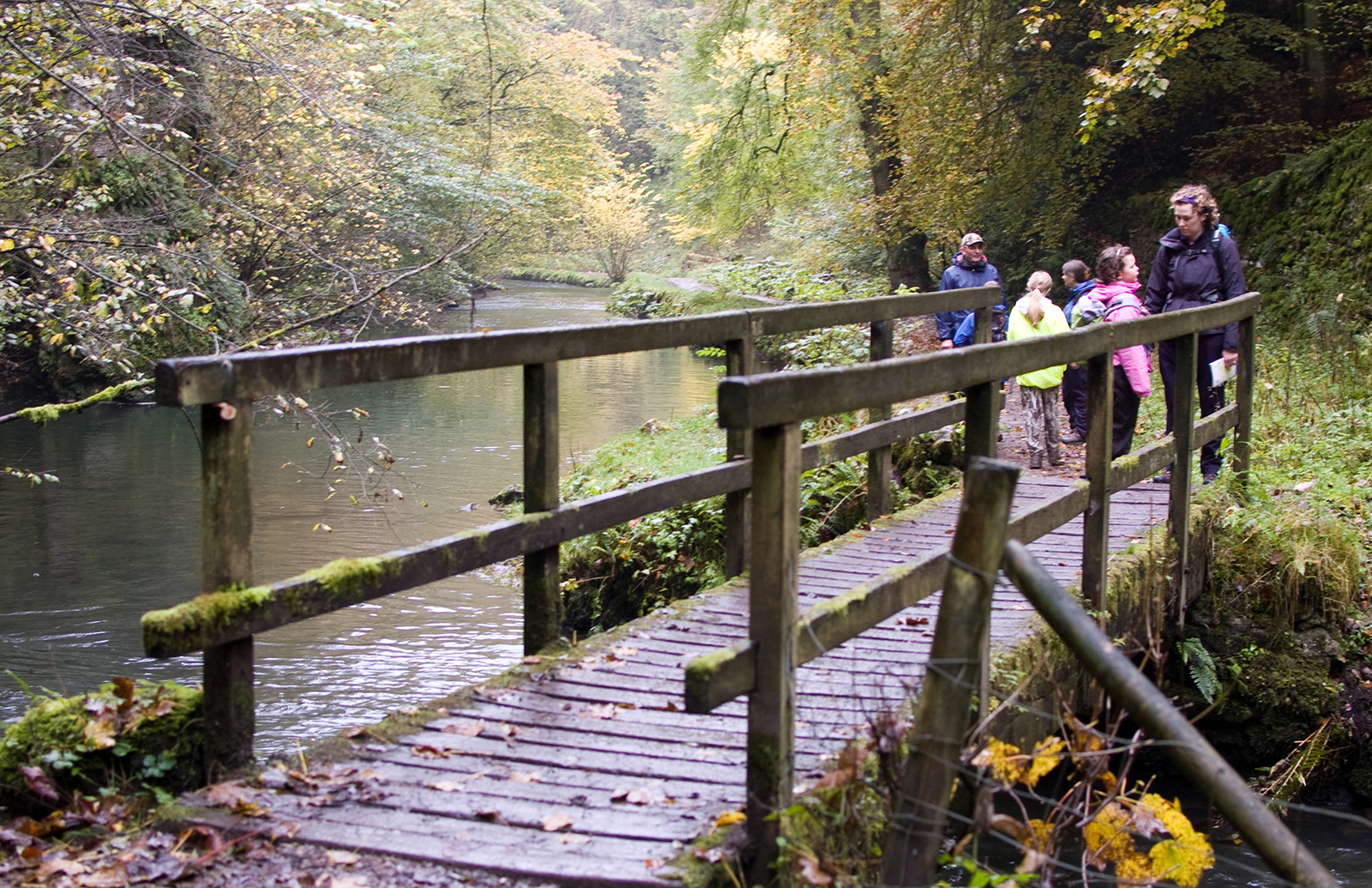
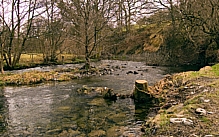
The first objectives were the pubs in the village - not for drinking, just for menu-reading. After sorting a venue for an evening meal we took the grassy/muddy footpath that leads southwards past Pennilow and into Beresford Dale.
The first pic-stop was at Pike Pool, where there is a slippery bridge. We didn't see any Pike:
A bit further downstream these Dippers (Cinclus cinclus) were intent on defending their territory:

I'm guessing that it wasn't the Dippers that put up this sign:

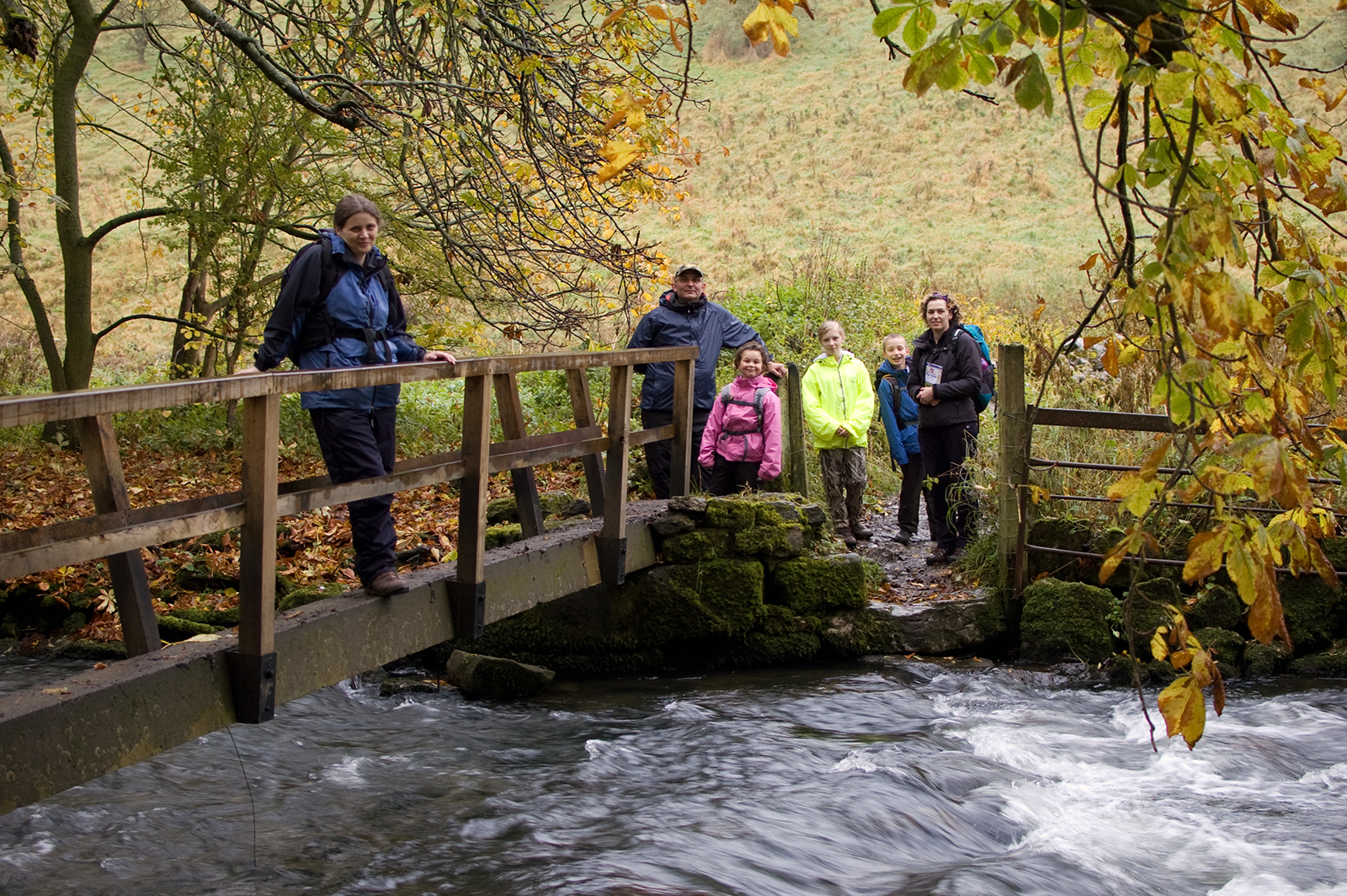
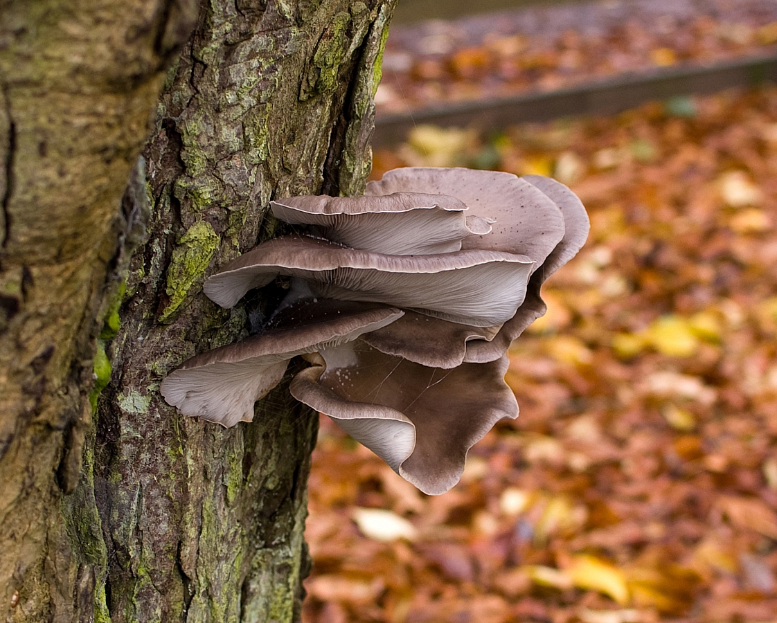
There was much to see at the bridge. It was mostly wet, mouldy or both:

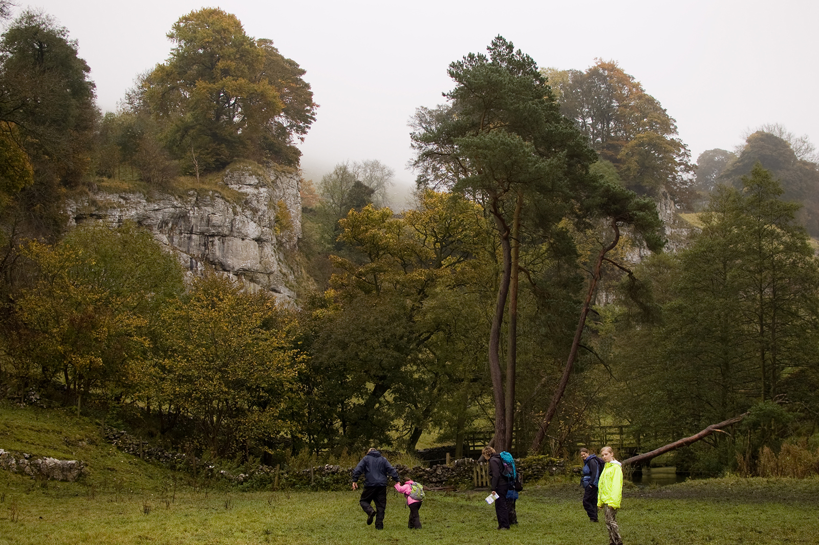
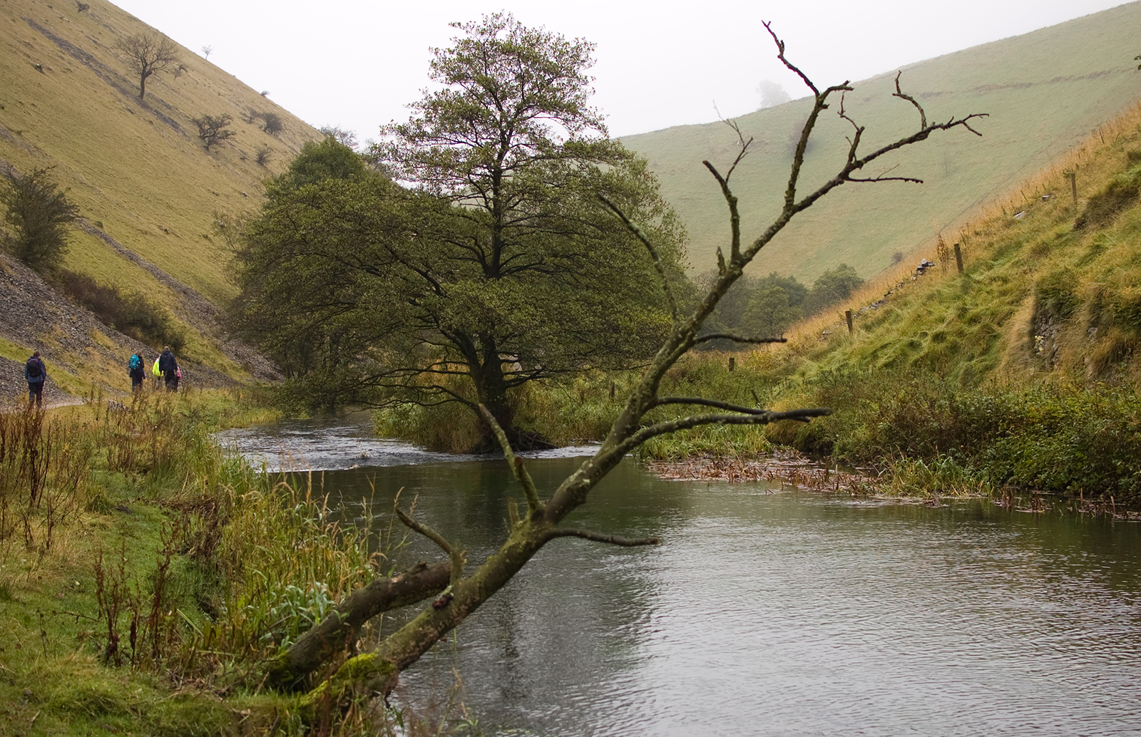
The field at the southern end of Beresford Dale was somewhat waterlogged but crossing it was worth the effort for the views of the head of Wolfscote Dale:
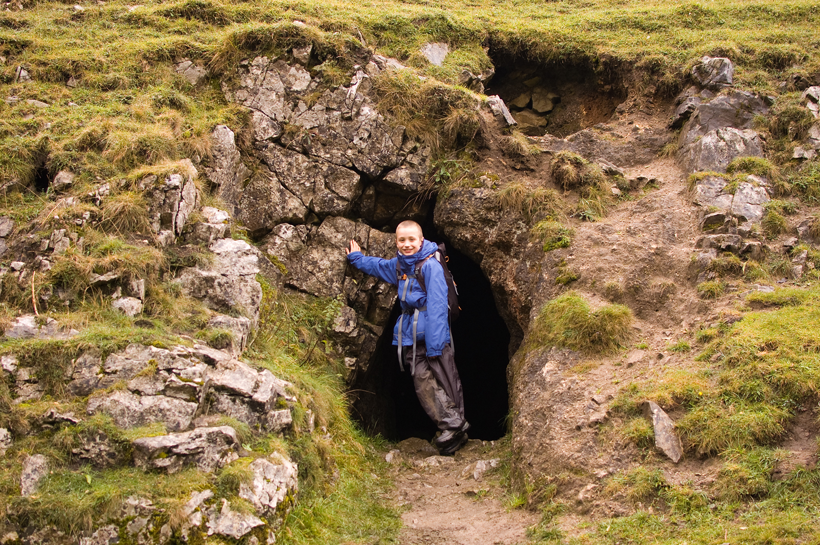
Once through the marsh there was a significant change of terrain - fewer trees, more limestone, better paths. We spent some time snacking in and around Frank i’ th’ Rocks Cave:

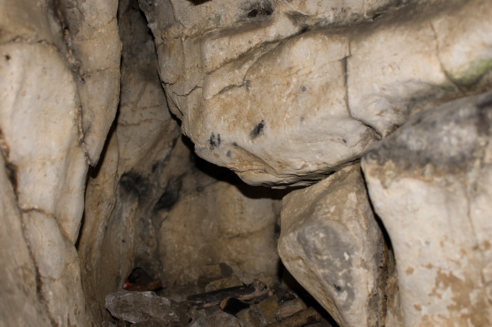

Am I the only one thinking that I've seen something similar before?
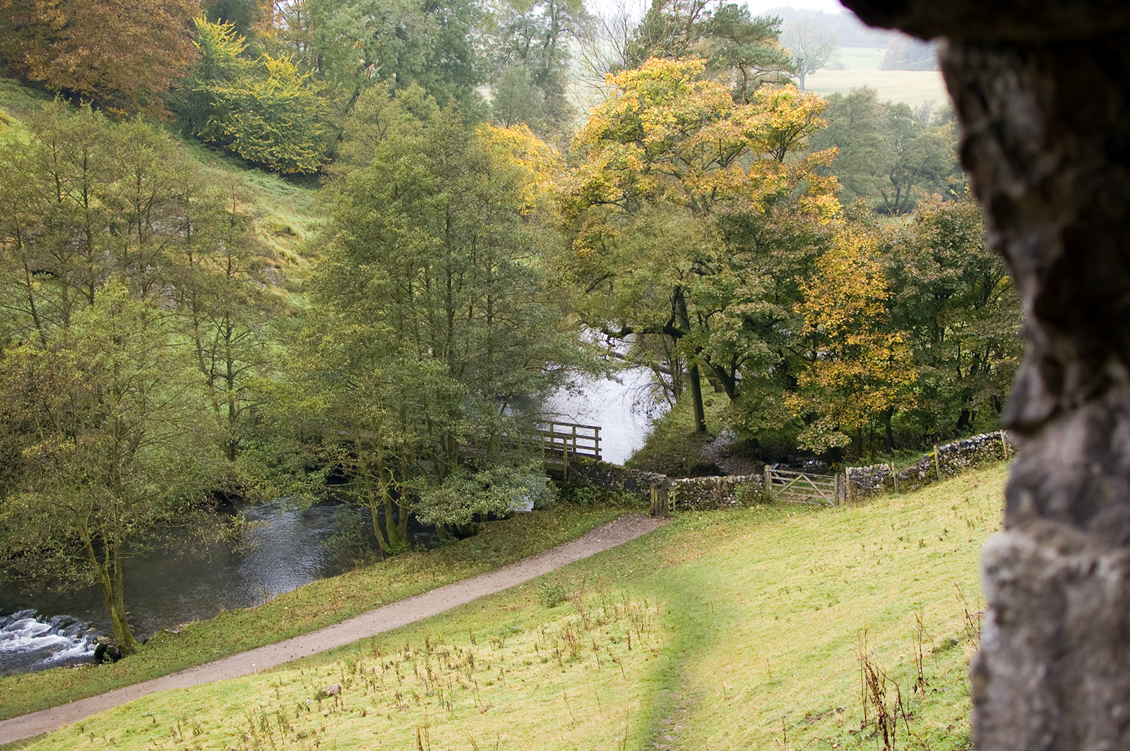
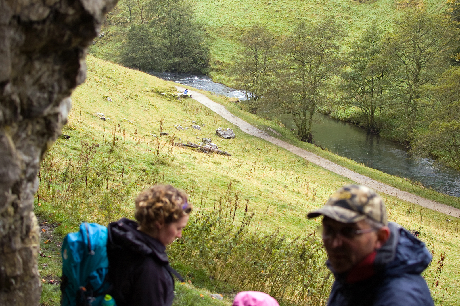

From there we progressed downstream on a good path beside the river:
Luncheon was taken near the entrance to Biggin Dale, where there were fine views of Peaseland Rocks:

Further up Biggin Dale there's a cave that had to be investigated. The kids badgered me to take them in, we went about 25 yards before the water underfoot became water overankle and forced a retreat:
From there the route took us roughly northwards, past a nature reserve and the delightfully-named Ferny Bottom, until the point at which we escaped the dale and headed uphill towards the start of the enclosed track that led to Reynards Lane. The gate at the start bore a confusing combination of signs:
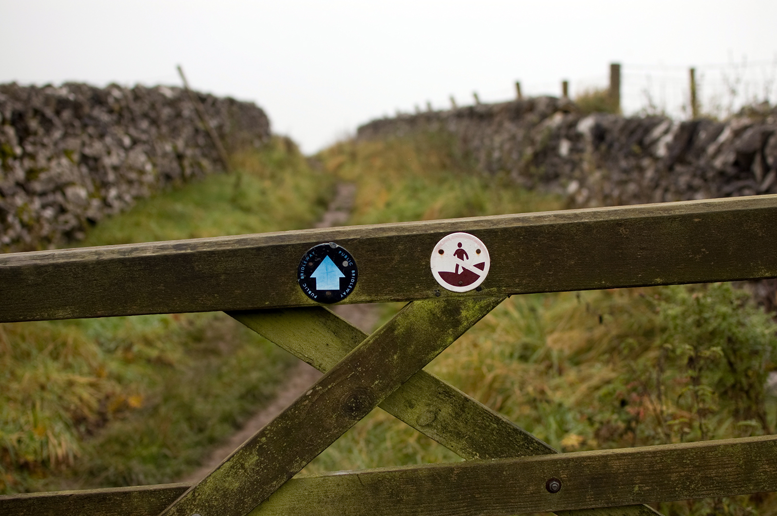
The way I read it, one sign says it's a Public Bridleway, the other says there's Negative Access, which at first sight seems to be a conflicting situation. After all, it is perfectly OK to walk along a Public Bridleway - see here.
Anyway, we passed through the gateway, walked the progressively-muddier enclosed path until it met with Reynards Lane, and carried on until we found a Public Footpath sign on the right indicating a route that, according to the map, promised to be a direct short-cut across a field to "Leisure Lane". We figured that the short-cut would be off-road and hence safer, so we went for it.
The footpath headed over a low blind brow and towards an obvious convergence of walls that funnels traffic into another enclosed track which is Leisure Lane, bounded by walls and wire. It was obvious that cattle used this route quite a lot - the wet ground was hoof-pitted, and the further we went the deeper the mud and shit became, but we could cope with a bit of that. We were, after all, in cattle country. Up to that point, the walk had been a pleasure.
But there was worse to come...
A hundred or so yards along this crap-fest there was a short gap in each of the enclosing walls, presumably the gaps had originally been gateways, here's an aerial view of the place...
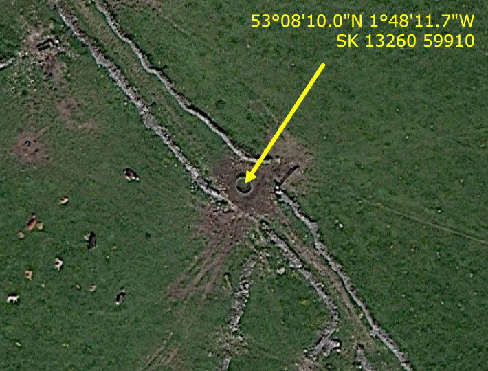
And slap-bang in the middle of the path, twixt the two wall-gaps, was a large round steel cattle-feeding trough-type thing. Now, the contraption itself wasn't an unavoidable thing - yes, it was an obstruction, but in theory we could have just walked past it. The problem was the shit-zone around it, there was more cow-shit and cow-piss than water and there was more water than mud. It was gut-retching stuff. The shit-zone diameter was about 30 feet which meant that it blocked the footpath and extended into the fields on both sides and up the lane both ways. The depth near the middle was about 2ft.
We couldn't climb over the walls because of the wire, so we had to wade or retreat. The kids had had enough of the day, they just wanted to finish the walk ASAP and the hostel was just 400 yards away. A retreat to the road and the ensuing detour would have been too much for them.
So we waded. We tried to keep to the deep mud rather than the sloppy shit but the bad stuff was unavoidable.
🙁
The last bit of the walk was awful. The stench from our crap-covered clothes was horrific. There were tears. Clothes were ruined.
Back at the hostel we had to be hosed-down before we dared to go indoors. Many of the socks had to be bagged & binned.
In the dorm some things had improved. We now had a working shaving-light. Oddly, they'd only fixed one of the two duff bunk-lights. "Close but no cigar", as the saying goes.
And folk wonder why I don't like the Peak District.
We dined at The Charles Cotton Bar that evening. Great service and great food. We'd earned it.
Top Tip: If you're dining there and want a proper filling meal, get there in time for the day-menu - lashings of real food at good prices. The evening-menu is that Norbert Quizzine stuff - great-tasting items but mini-servings on maxi-plates with maxi-prices.
To be continued...


The waymark sign on the right (dark red on white background) informs that the bridleway does not lead to Open Access Land.
Brian
Apart from the “Mess”, that’s a nice walk. We will be doing something similar in a few weeks. The food in the Devonshire is excellent, large and reasonably priced. The staff are great. The little coffee shop/post office that you would have walked past, near the Derbyshire, also does good food. I think they do breakfasts as well if i’m not mistaken.
What a miserable sod that farmer is to put the silage on the bridleway. Like you have shown, pedestrians can use a bridleway. I would email Mr Ranger and let him know how you feel.
@Brian Cowling - Are you sure? The BMC site says "The negative access symbol... Natural England’s guidance states that this symbol should only be used in very limited circumstances - where the boundary between access land and land with no access rights needs clarifying or where there are persistent problems with trespass." http://www.thebmc.co.uk/crow-access-symbols
@Brian Cowling - Got it now - the Negative Access sign "may be used to mark the end of area-wide access although other access rights may exist, for example public rights of way." http://www.naturalengland.org......urway.aspx
The sign's meaning isn't as obvious as it could be - round red-bordered signs with red diagonals usually indicate prohibitions. My shiny new A-Z Adventure Map doesn't have these symbols in the legend.
Anyway, I've amended my post text accordingly.
@AlanR - We dined at The Devonshire Arms the next evening, it is indeed a fine pub.
@Brian Cowling - There's more...
"A ‘negative’ access symbol has been developed to inform the public when they are leaving an area of access land in circumstances where there is no obvious boundary and there is a real need to clarify this. The negative symbol should be used sparingly to avoid proliferating negative messages about access issues. In particular, it will only be suitable for use where there are definitely no other access rights, for example access by tradition or public rights of way, leading from the point where it is to be sited." Source (pdf)
So, it would seem that the Negative Access sign is unnecessary (and hence potentially confusing), there being other clearly-available access as indicated by the Bridleway sign.
Wire cutters, Sir.
I never leave home without them these days. If the farmer had blocked your right of way, you would have no option other than cutting your way through his fence.
I've had enough of barbed wire. It should be banned.