OK, so it started with a plan. Drive up to Ennerdale, park at Bowness Knott, leg it up Grike and spend Friday night there, go on to Crag Fell, Lank Rigg, Caw Fell and Haycock and camp up there Saturday night, then either drop back down or carry on to the Pillar range depending on time, fitness, weather etc..
Well, it didn't quite work out like that. The traffic on the M6 was heavy, which added two hours to my travel time, which meant that I couldn't get onto the tops on Friday night. Further to that, in the (free) car-park at Bowness Knott there were signs that told of footpath closures due to forestry work , which meant that I wouldn't be able to follow my preferred route back down the valley if I went on past Pillar.
So, I spent the evening down by the lake and the night in the car, and made a new plan...
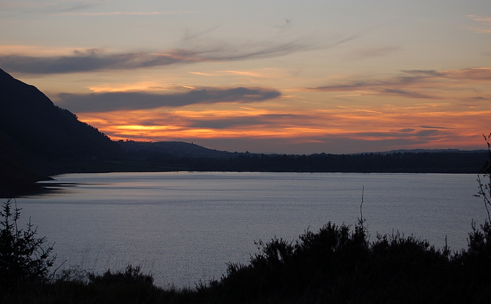
Ennerdale sunset
Saturday dawned cloudless after a clear, warm and starry night. Kitted up, I walked up the valley to the first concrete bridge and stopped there for breakfast beside the river. After that I crossed the valley and walked up through the plantations to the confluence of Silvercove Beck and Deep Gill, where there is a beautiful halt with waterfalls, cascades and a narrow bridge that looks like it should have a troll living beneath it. This was the last running water for miles, so I stuck three litres in the platy and started the grind up the ridge to the col between Caw Fell and Little Gowder Crag, walking directly into the strengthening sunlight.
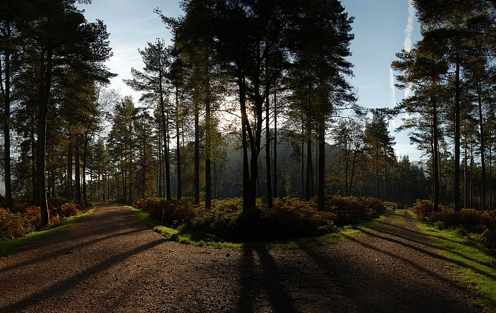
The parting of the ways
After much sweating I reached the col and, after a breather, I made my way past Little Gowder Crag to the summit of Haycock. At the top was a nice couple that had passed me on the way up. We chatted while I set up the Jetboil for a brew, we took some photos (I must remember to email them their pics after posting this) and then they went off to make their way up to Scoat Fell and beyond.
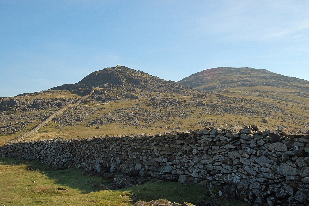
Little Gowder Crag with Haycock in the distance
After a cuppa, a light snack and a smoke, I made off to Caw Fell, which is a simple place on the map but a source of confusion on the ground. It's a simple walk alongside the ridge-wall to the cairn, but, when walking towards it, you get the impression that it's not the highest point on the fell, probably because there are no high fells to the west to give a proper perspective. I marched on past the cairn and beyond the corner of the wall to the shelter at NY 12497 10763 for a break and to decide whether to follow the wall northwards then westwards to Crag Fell, or make a bee-line for Lank Rigg. I was getting through lots of fluids because the day was so hot, and the platy was nearly empty, so I decided to take the more direct route westwards, as it meant crossing several streams where I could resupply often without having to carry a full load.
I rounded the top of Caw Fell Crags then set off through the heather and boulder-fields on a direct line towards Red Gill, negotiating the ravines of Bleaberry Gill and Long Grain on the way. The watersmeet at the bottom of Red Gill looked like a great place to camp, but I pushed on up the Gill and set up for the night next to the sheepfold in the col between Lank Rigg and Whoap. It was only when I went down to the stream for a wash that I realised that my arms and face were red with sunburn.
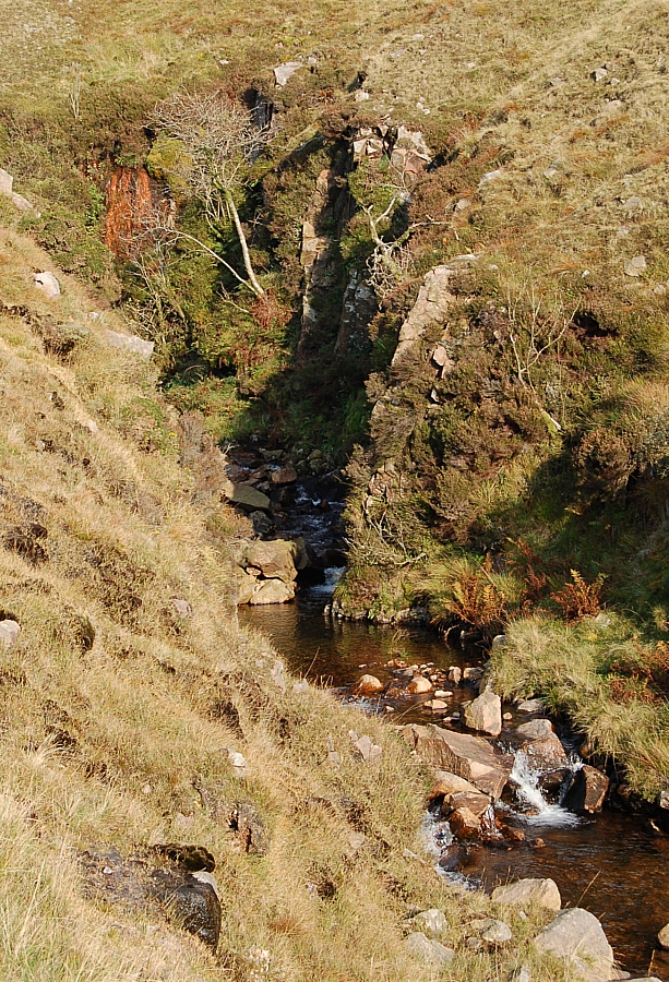
A ravine in Long Grain
I didn't sleep much that night - it was too warm even though the sky was clear and starry. I spent some time looking for meteors (it was the start of the Draconids shower) but I didn't see any. I did doze off eventually during the small hours after losing a running battle with a family of shrews that seemed to want to party the night away between the tent footprint and the groundsheet.
I woke just before first light and decided to stroll up to the top of Lank Rigg before breakfast. The view towards the rising sun was impressive and compelling, but I couldn't stay too long as I wanted to get fed and packed up before the lowering clouds wet the tent too much.
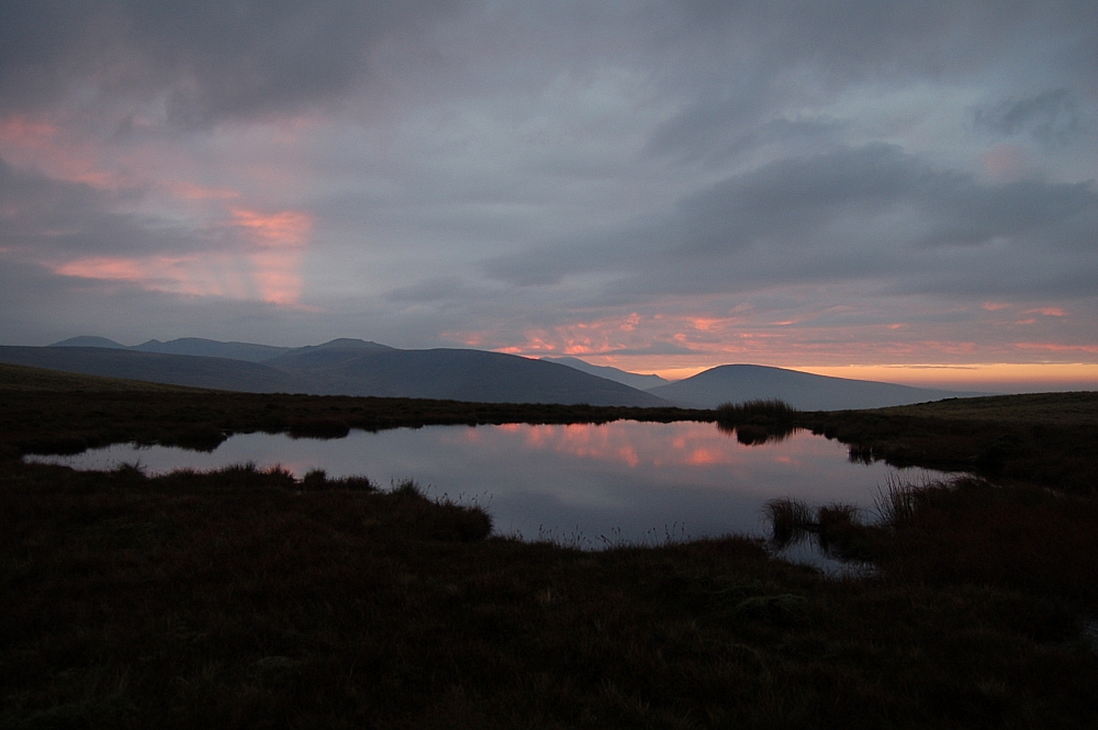
Sunrise from the top of Lank Rigg
An hour later I was away over the top of Whoap and into the plantation below Crag Fell. From the far side of the trees it was a ten-minute pull up a heathery slope to the tops for an excellent view of Ennerdale Water and the hazy upper valley. After a few pics I trudged the mile or so along the marshy ridge to Grike and its many cairns, and then it was time to be getting back down.
I made a bee-line down the slope to the sheepfold in Ben Gill, stopping part-way at a bield to watch a little bird whose territory I had accidentally invaded, then it was back to the steep descent past the waterfalls and through the trees to Bleach Green Cottages and a ball-aching route-march along the lake-side path back to the car, where I dumped the gear and went for a much-needed bath in the lake.
The journey back was dire. The traffic on the M6 was crawling from J39 to J24, and beyond that I only managed to get above 60mph after J14. It took over seven hours and an extra gallon of petrol to do the 220 miles to get home.
I reckon it was worth the hassle.
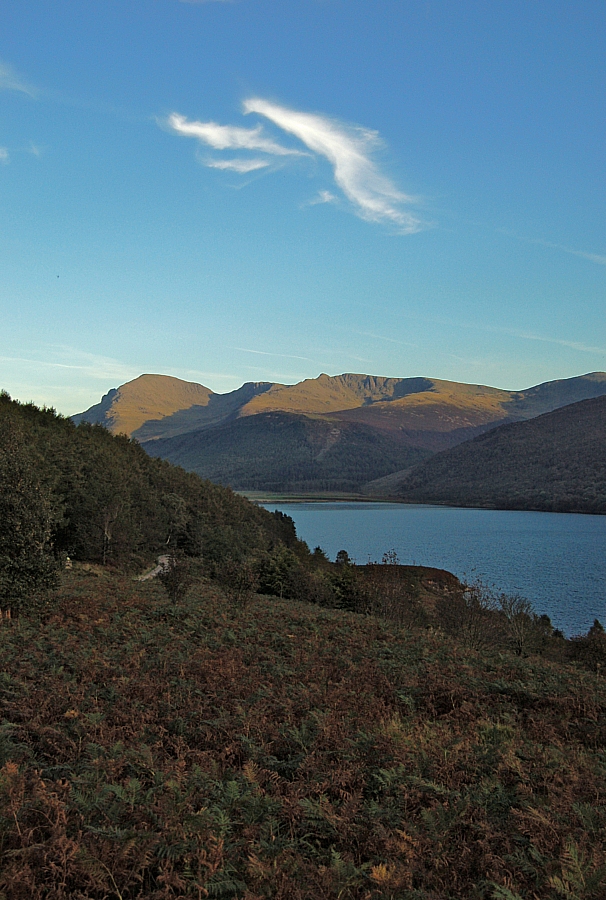
Contrails over the Pillar group
My thanks go to David and Ros Shelton for the chat and pics atop Haycock, and to Gareth Browning (Beat Forester) of Wild Ennerdale for the information regarding access and parking.




Nice pics - especially the one of the trees and the shadows. Sounds like the weekend was a good'un despite the hassle!
Lovely report Oh Beardy One.
Lord Elpus & I are off to the Lakes next weekend and so have a similar nasty trip to get there.
But you are right - it is always worth it - even if its chucking it down. The break and the challenge is everyrthing when you are there. You come home spring-cleaned.
Great sharp photos BG, sounds like a great trip apart from the M6 (what was up with that?), and I'm not sure about the bath in the lake...
I saw the info about the Ennerdale path closures but I was too late to warn you.
Thanks for the comments, folks.
camping girl: the pic of the trees and shadows is really a cheat - I couldn't fit it into one shot with the lenses at my disposal, so I had to resort to the dodge of stitching together a series of pics using Autostitch. It's a powerful freebie program that I use a lot, I can never see the joins.
alan: Wherever you get to, I hope you both have a good time. I look forward to reading your report.
Geoff: The M6... bottlenecks at 3->2 lanes for roadworks, compounded on Sunday by fans returning South after a significant football match. Maybe next time I'll plan around the soccer fixtures instead of MWIS! Oh, and the lake-bath WAS necessary 🙁