Posts tagged 'Swirl Hawse'

Coniston Fells Wildcamping (again) – Part 3 – More Roasting

Posted by on July 21st 2009 in Great Escapes, Lakes Escapes, Wildcamping

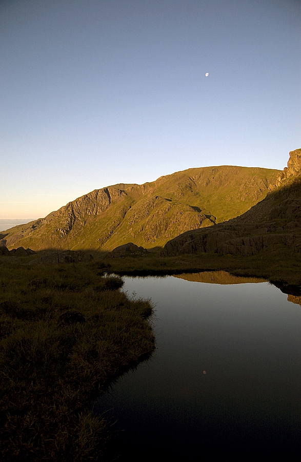
I sat in the shade of a boulder at the Fairfield col, supping tea, assessing the conditions and pondering the map. Well, the Xda Orbit to be precise - the more I use it (with MemoryMap loaded), the more I like it. It's not just that it uses the GPS to mark my position on the map, I like the way it tells me the direction of travel from that position as soon as I move away from it. And there's the huge amount of map data that can be fitted onto the tiny transflash/microSD card. And the internet access, which, signal permitting, can pull up Google Maps and the like. And...

Anyway, back to the assessing...

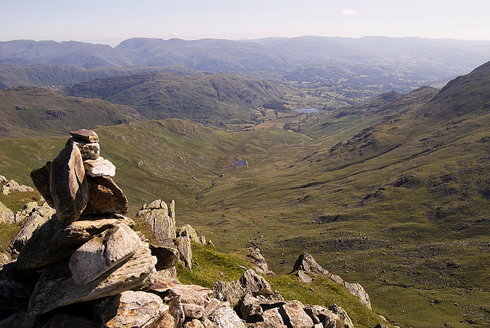
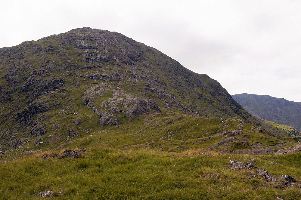
The thermometer was chucking out big numbers... up to 35C in the shade, and the lack of breeze wasn't helping matters. I took in 2 pints of fluids in preparation for the slog to the next known water-supply. Before getting there, there was the rather inconvenient matter of a fair bit of backtracking - a direct slog back up the grassy slope to Swirl How and a return down the Prison Band to get to a footing on Wetherlam...


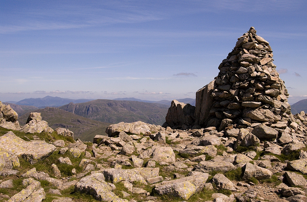
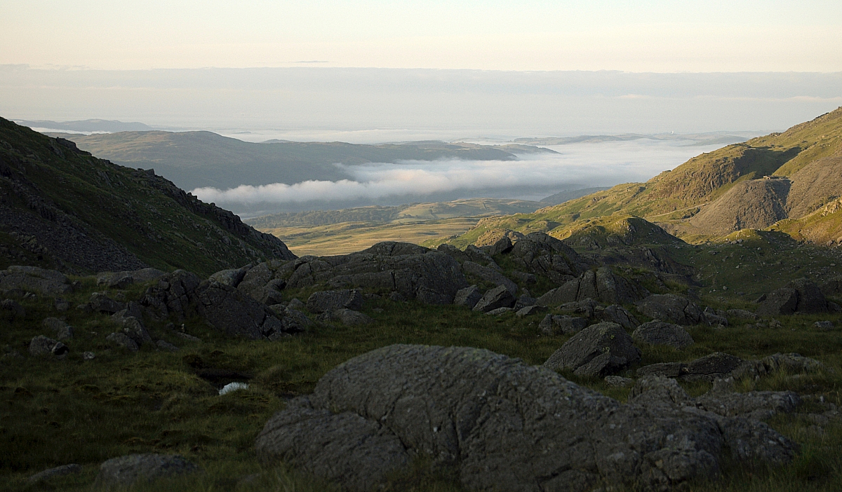
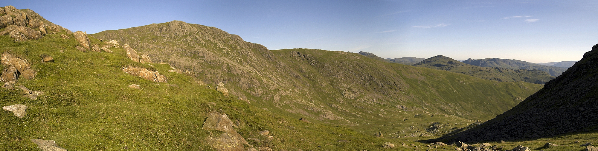
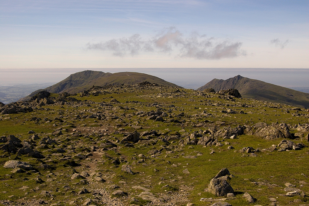
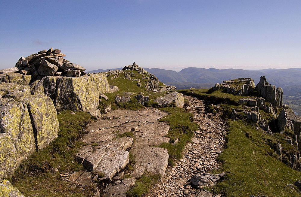
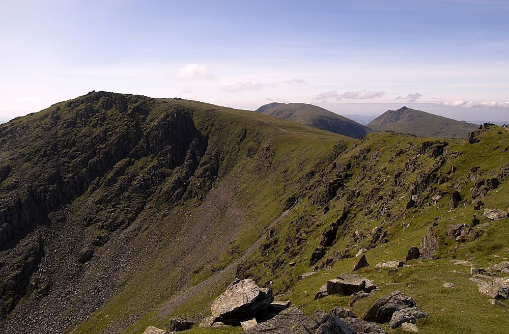
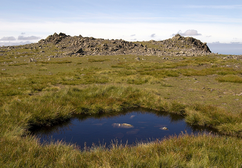
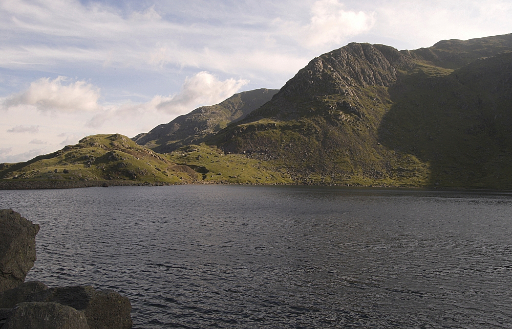
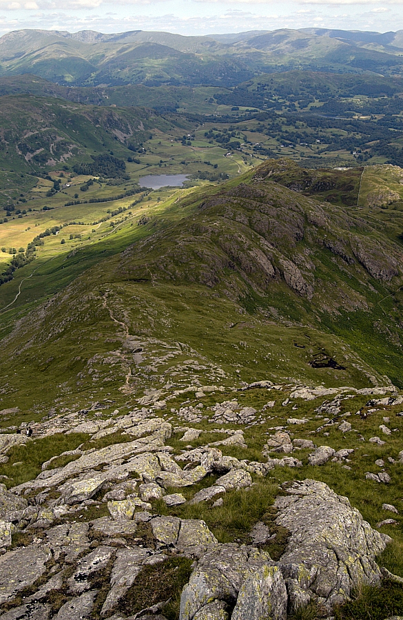
Skiddaw and The Langdale Pikes from Swirl How.


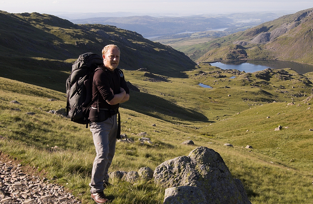
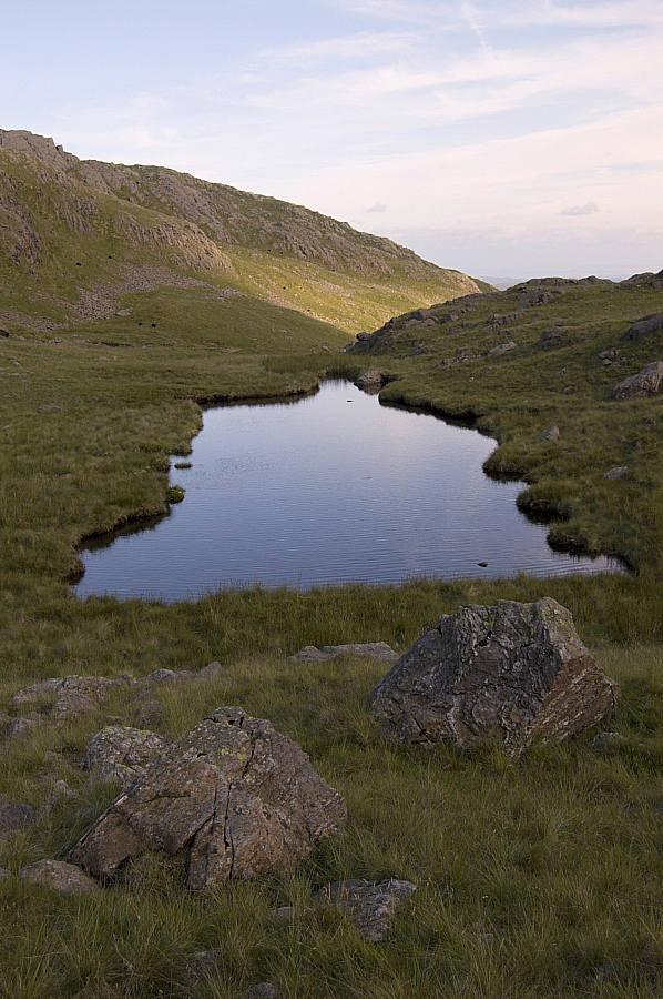
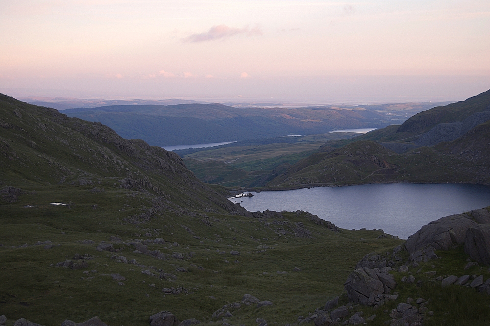
Yet again I was surprised to have a summit of Swirl How to myself. I could see a small party of folk on the top of Great Carrs, but other than that the area was strangely devoid of people. Anyway, I pushed on back down the Prison Band, back to Swirl Hawse and started the pull up the slopes of Wetherlam, where the sun and lack of breeze dictated another stop as planned at the next watering-hole (NY 27995 00855, another possible wildcamping spot?):


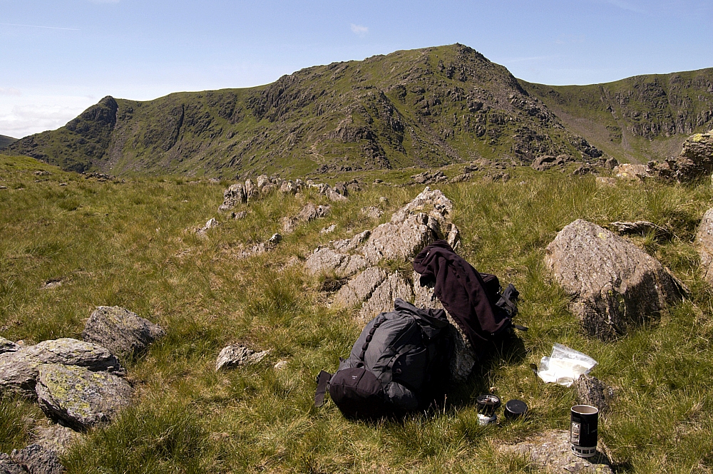
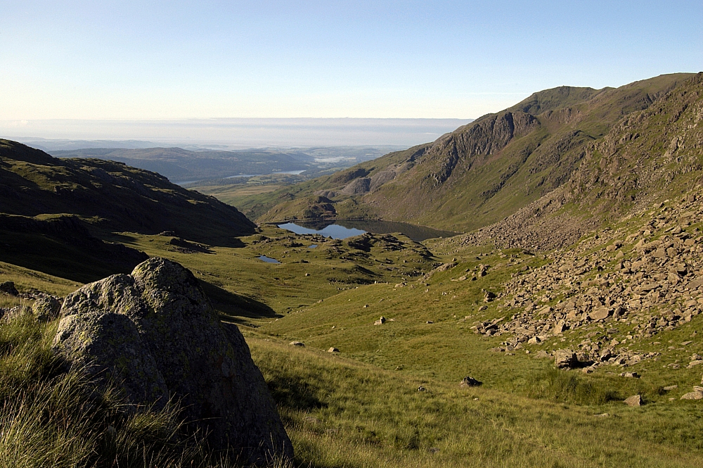
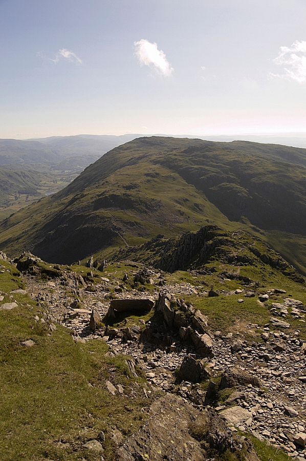
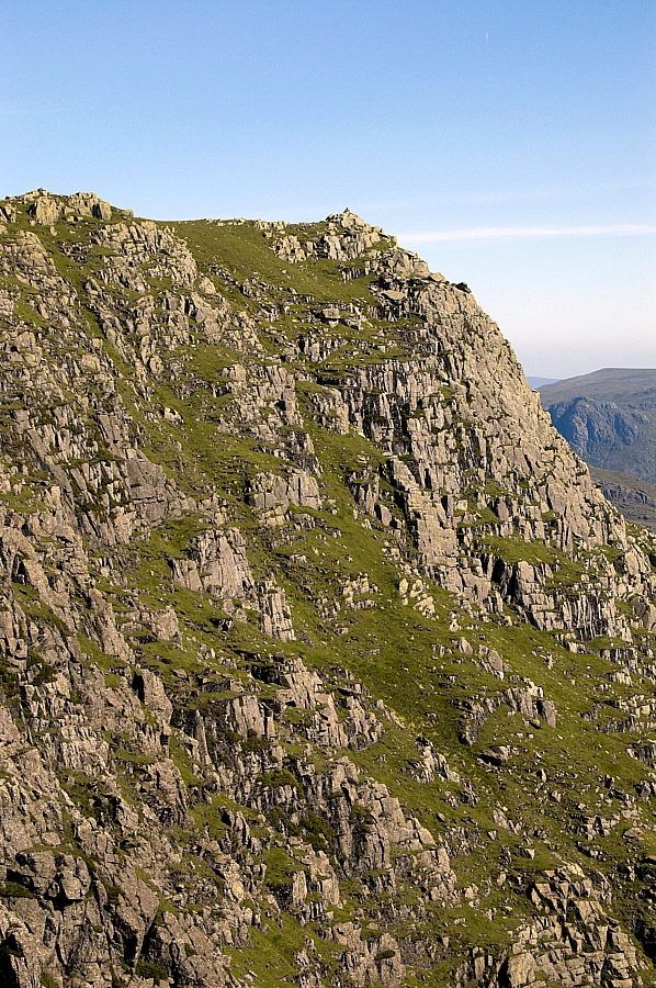
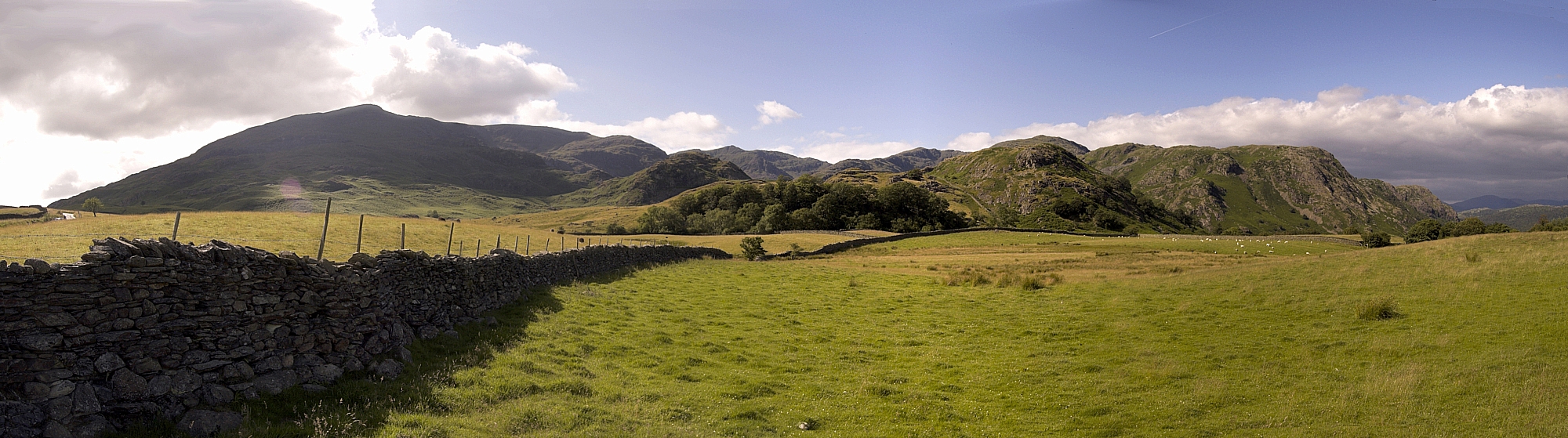
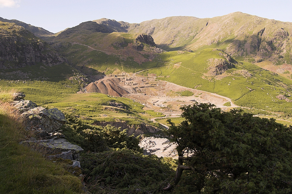
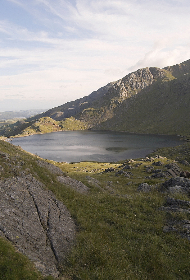
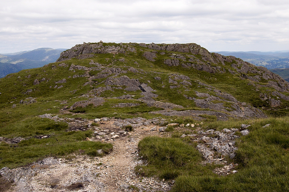
Swirl How and the Prison Band from the Wetherlam path


With body, Platy and Aquagear bottle rehydrated from the peaty puddle, the walk up to the top of Wetherlam was a doddle. Compared to earlier, the summit was as busy as a supermarket car-park - at least fifty folk were resting their weary bodies up there. I waited a respectable distance away from the cairn, and made another brew and a meal while the summit cleared and the skies clouded over a little, offering some protection from the sun. Eventually I'd had enough, and after taking a few pics from the top...


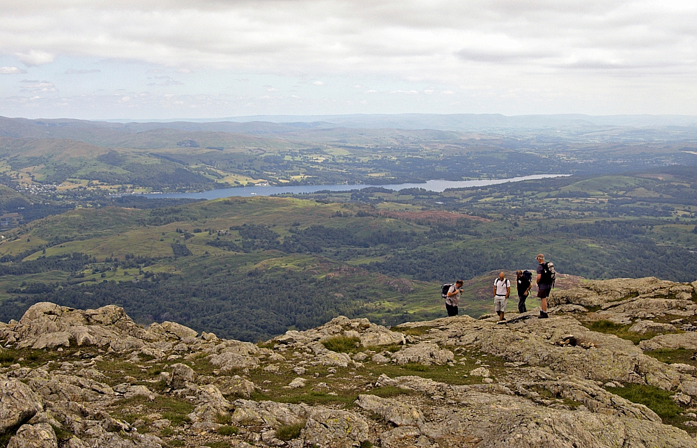
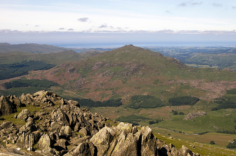
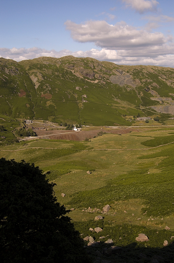
Windermere from Wetherlam


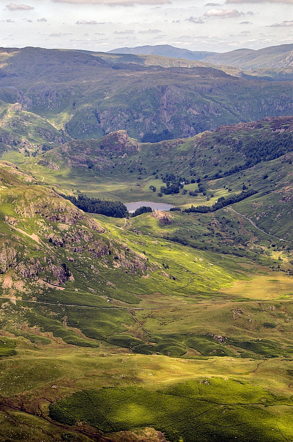
Blea Tarn from Wetherlam


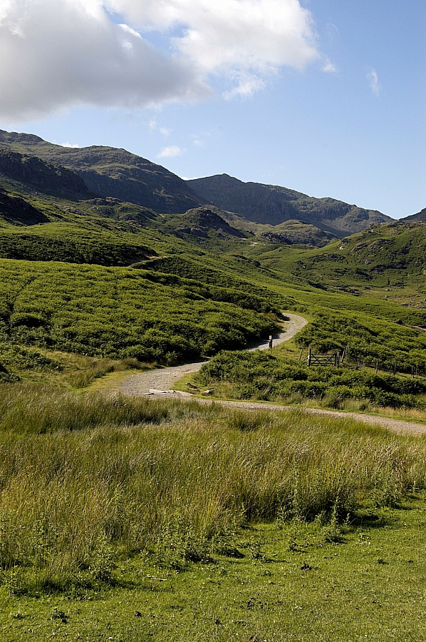
I made my way down the steep shoulder of Wetherlam Edge:


Looking down Wetherlam Edge to Little Langdale


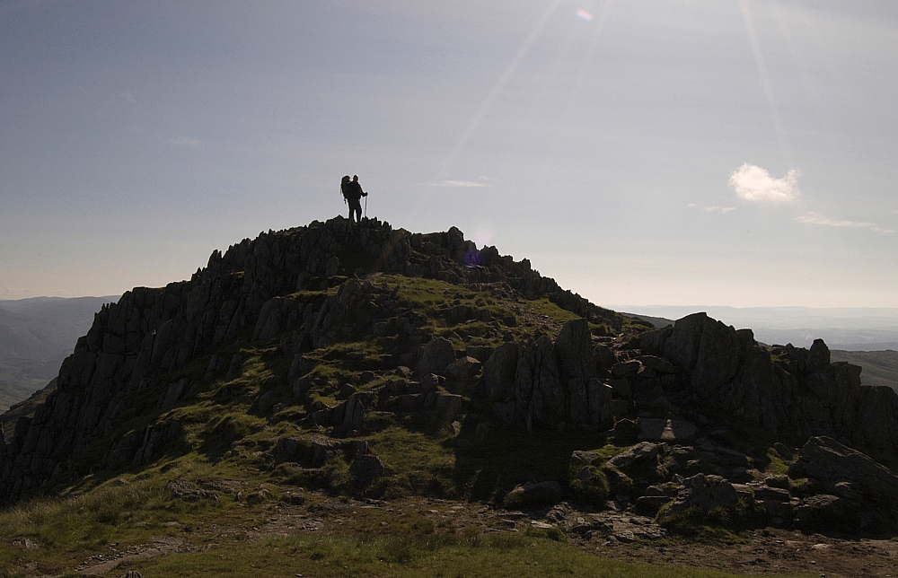
to the neat little top of Birk Fell Man...


Birk Fell Man


before stopping for another photo-opportunity:


Looking back up Wetherlam Edge


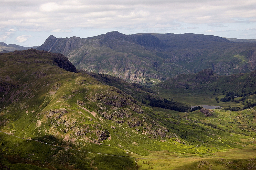
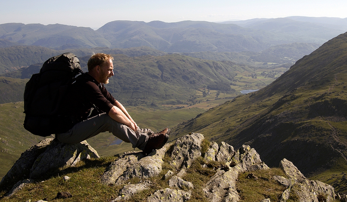
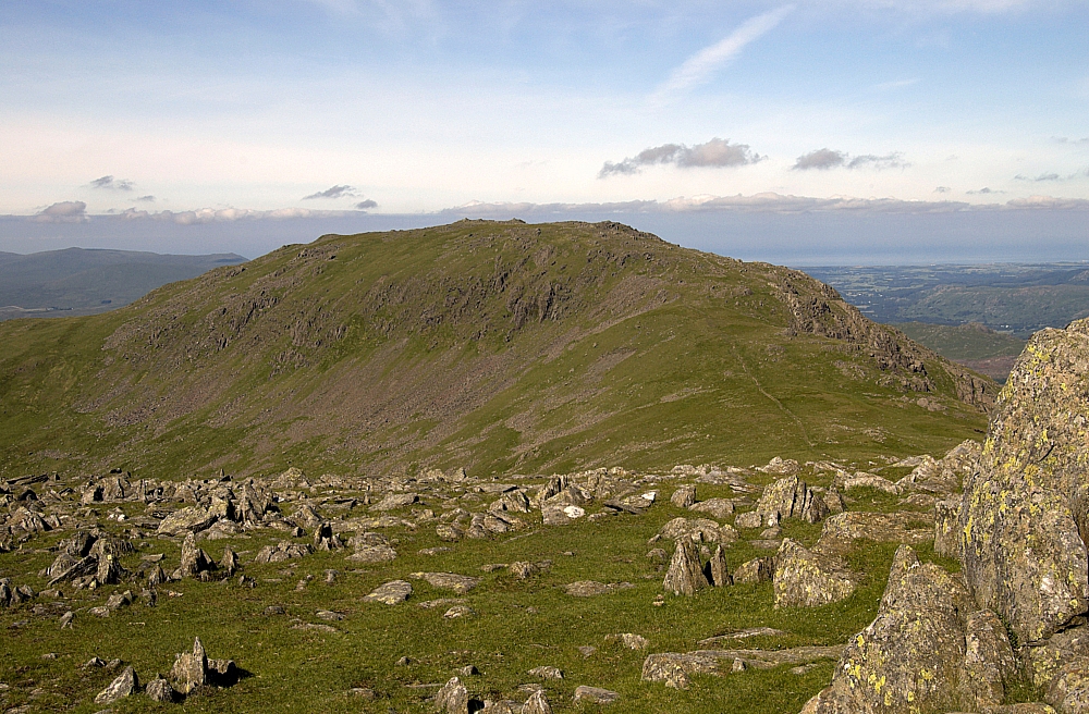
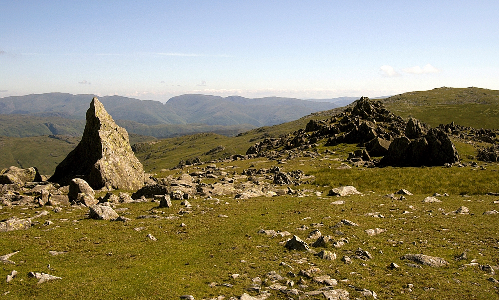
The Langdale Pikes from Birk Fell Man


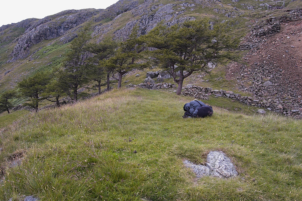
Taking the path off to the right, there was a steepish descent to a strange tree-guarded grassy platform which had great views over Dry Cove Bottom. If it wasn't for the lack of readily-available water, this would have made an impressive, if exposed, wildcamp pitch:


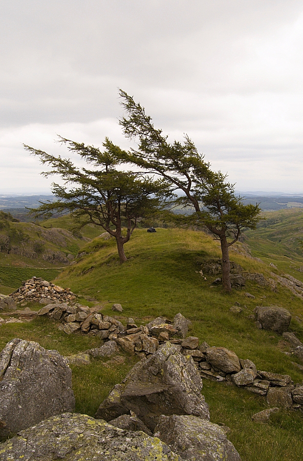
Trees guarding the platform


Another view of the platform


Dry Cove from the platform


The original plan was to overnight in Dry Cove Bottom near to Henfoot Beck, but it was only mid-afternoon - far too early to settle down, and I was in no mood to stop walking. Besides, any heavy overnight rain would probably result in a washout, so I changed the plan on-the-fly and decided to carry on and do part of the route that I'd planned for Sunday.

I followed the path along the side of the Tilberthwaite Gill gorge and reached the road from behind the cottages of Low Tilberthwaite:


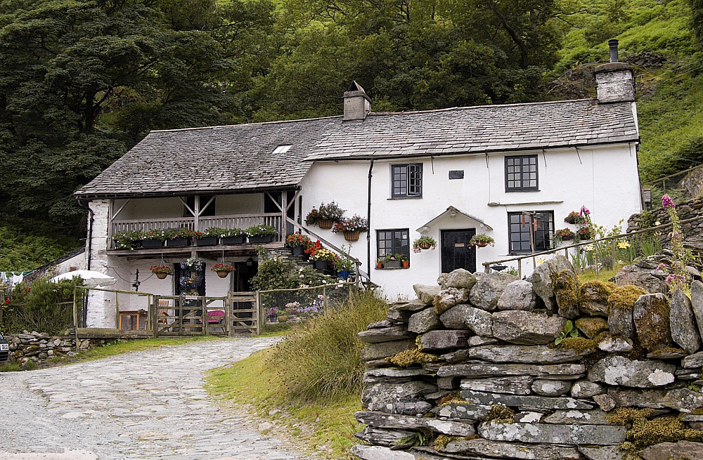
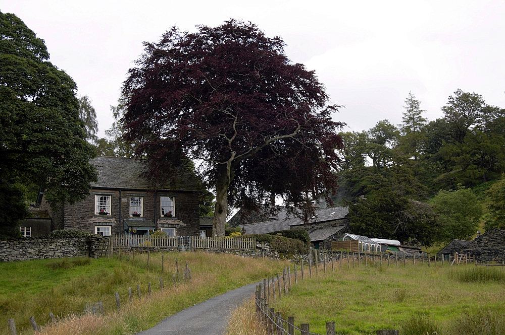
Low Tilberthwaite cottages


Although the sky was now completely clouded over, the air was still hot and still, so I had a five-minute breather next to Yewdale Beck while trying to figure where the RoWs (RsoW?) were on the ground. I decided that the path lay across fields from High Tilberthwaite to Holme Ground...


Holme Ground


and then up through gated woodland...


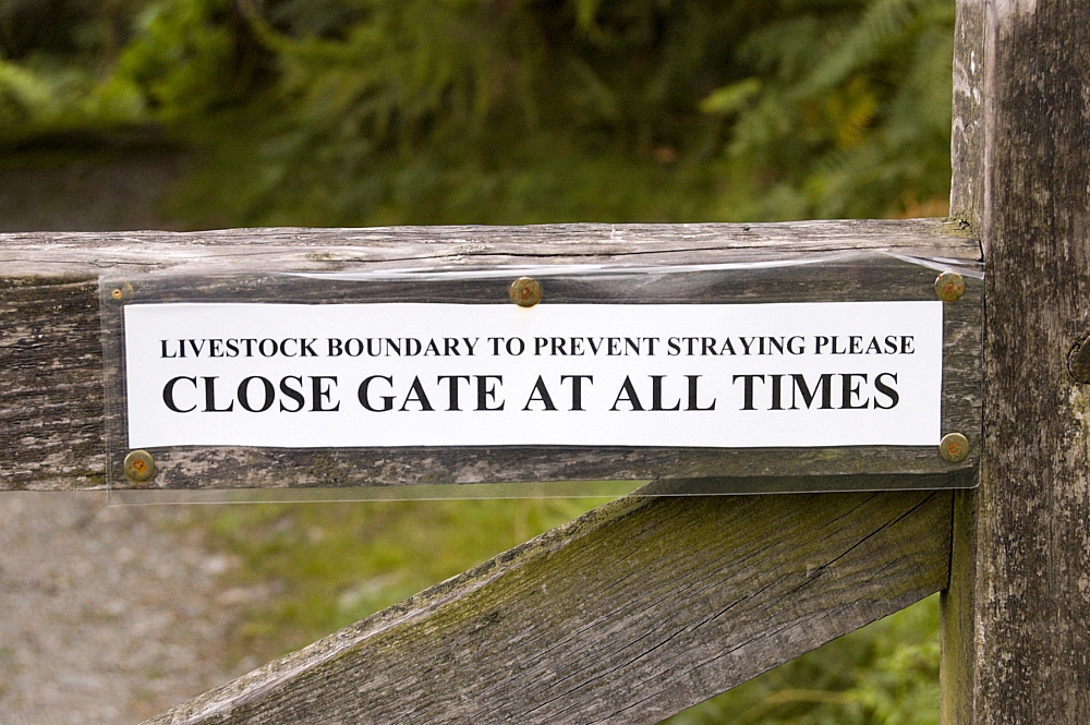
So, does anyone else think that a little punctuation would go a long way?


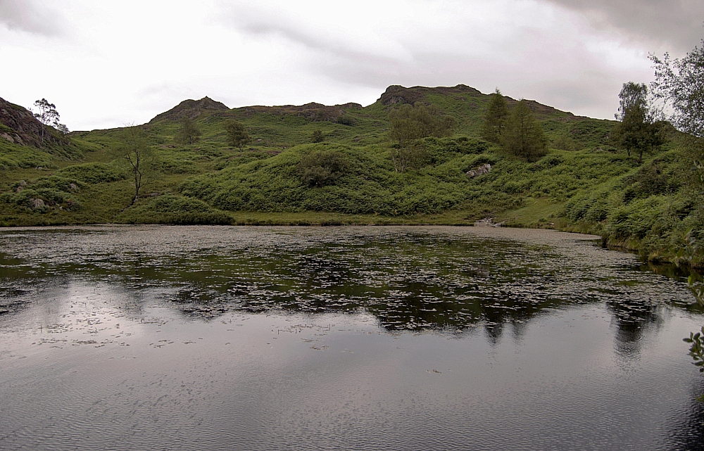
to the two disused quarry reservoirs to the north of Holme Fell:


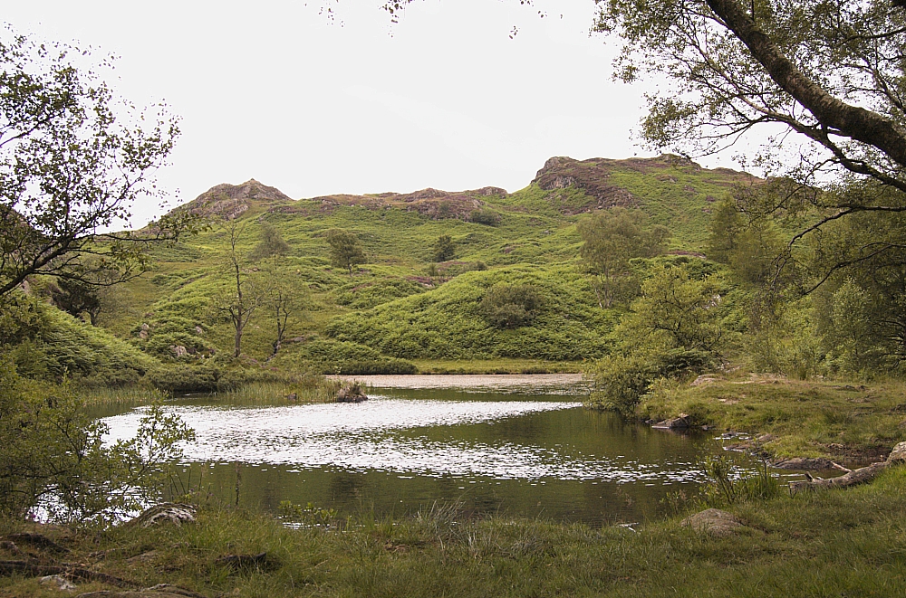
The larger quarry reservoir


Ivy Crag and Holme Fell


Although it was only early evening, I pitched in the trees next to a swathe of Juniper bushes which gave off a most wonderful aroma. After roaming around for while I settled down to a meal and a brew just as the clouds gathered and the wind and rain started:


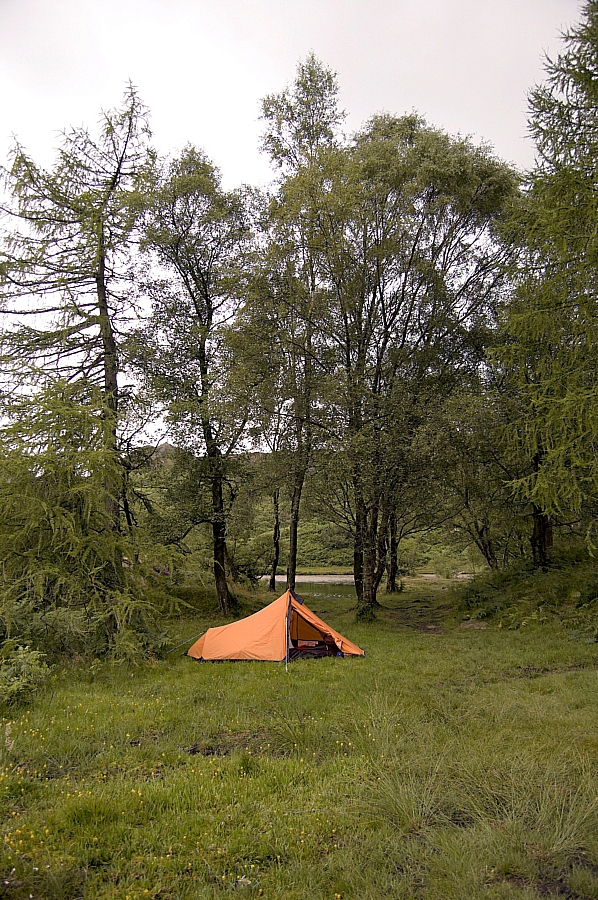
The pitch in the woods


Knowing that I was in a good place for an early-morning saunter up to Holme Fell, I hunkered down for the night before darkness fell, safe in the assumption that there would be no NT wardens about in such conditions. The rain during the night was constant, and driven hard by the wind, but the tent held firm and performed admirably. I had no trouble sleeping.


To be continued.

Coniston Fells Wildcamping (again) – Part 2 – Roasting on the Ridges

Posted by on July 20th 2009 in Great Escapes, Lakes Escapes, Wildcamping

You know that there's a great day ahead when the morning starts like this:


Moon over Brim Fell


The view down towards Coniston Water was no less impressive:


Cloud over Coniston Water


After a leisurely breakfast and the necessary ablutions I struck camp and wandered the hundred yards or so back up onto the path below the Black Sails ridge. While I was tightening my bootlaces a fellow wildcamper, Steve, caught up. He'd spent the night down at Levers Water and he too was heading for Swirl How, so we walked together for a while:


Looking back towards Levers Water


Steve's good with a camera, so good that he managed to get a rare snap of this strange critter:


Posing


The pull up to Swirl Hawse was a sweaty affair, with the sun strengthening and not a hint of a breeze, despite the warnings from MWIS. The view from the Hawse was simply stunning, the following pic doesn't do it any justice at all:


Great Carrs and Wet Side Edge from Swirl Hawse


We took our time going up the Prison Band, stopping often to draw breath and take pics:


Steve on the Prison Band


Looking back down the Prison Band towards Wetherlam


Having a breather


Before long we were at the summit of Swirl How. I'd expected there to have been more folk about up there, but we had the place and the views to ourselves:


Coniston Old Man, Brim Fell and Dow Crag from Swirl How


Steve's next objective was Brim Fell, so after a snack we exchanged contact details and went our separate ways. I took the track around towards Great Carrs, a top that I'd been to many years ago but in zero visibility and without a camera. I paused at the shallow col at the top of Broad Slack to nab some pics:


Great Carrs from the top of Broad Slack


Grey Friar from the top of Broad Slack


A few yards further on is a memorial to the crew of Halifax Bomber LL505 - "S" for Sugar. I'll let the pics do the talking:


From there it was a quick walk to the delightful top of Great Carrs...


The top of Great Carrs


from where there were great views down Greenburn towards Little Langdale...


Greenburn and Little Langdale


and back over Broad Slack to Swirl How:


Broad Slack and Swirl How


After a few minutes admiring the scenery and pottering about looking at the rocks, I set off again, down the easy grass slope to the west. I dumped the pack at the Fairfield col and walked on up to Grey Friar for a fantastic 270-degree panorama from Coniston Old Man around to the other Fairfield (the one above Grisedale Tarn). I took a string of photos to stitch together to make a huge panoramic pic of the scene but it didn't come out well, so you'll have to make do with a few single shots:


Goat's Hawse flanked by Coniston Old Man and Dow Crag


Harter Fell across Dunnerdale


Looking towards the other Fairfield


Looking back across the summit plateau to the twin tops of Grey Friar, I noticed a small tarn - the first reachable water I'd seen since leaving Swirl Hawse. If I'd known about it beforehand, I'd probably have pushed on the day before and spent the first night there instead. Unnamed and unmapped, it's a spot for a future wildie, perhaps?


Grey Friar's tops and tarn


I wandered back down to reclaim my pack and sat back for a mid-morning snack and a brew, made some notes and planned the rest of the day.

To be continued.

Coniston Fells Wildcamping (again) – Part 1 – Up Sam Bottom

Posted by on July 16th 2009 in Great Escapes, Lakes Escapes, Shiny new kit, Wildcamping

After the previous effort to walk these fells (see here and here), I was determined to get the job done this time. The weather forecast was a poignant reminder of the conditions during the last outing, but I've walked through much worse.

The weather was fine and hot, with just a few clouds here and there to frame the view. The drive up the road from Coniston to the old quarry car-park had to be interrupted to take in this fine sight of some of the target fells:


Coniston Fells Panorama


Beside the Walna Scar Road


I parked up in exactly the same space as before in the car-park near Timley Knott on the Walna Scar Road and, after getting kitted-up, started off along the winding quarry-road towards Boulder Valley and Levers Water:


The quarry-road


After a while I passed through the gap between The Bell and Stubthwaite Crag and onto the section where the path passes along a ledge beneath Crowberry Haws. From there, the views across the Coppermines Valley were impressive:


Looking towards Wetherlam


The Coppermines Valley and YHA


There was also a fine selection of flora and fauna next to the path:


Purple #1


Purple #2


The next stop was in Boulder Valley, to have a look at the famous "Pudding Stone" (the one on the left). OK, so it's a big boulder, but I wouldn't say it was anything special:


The Pudding Stone


Next it was up to the gap between Brim Fell End and Simon's Nick for the first sight of Levers Water:


Levers Water, with Swirl Hawse on the skyline


and a glimpse down into the darkness of the Nick:


The Nick


After the short stroll around to the weir to cross the outflow, it was time to take on some water and to grab a few more pics:


Levers Water again


Swirl How beyond Levers Water


From there it was a quick walk to the top end of the Water, where, after a brief look back towards Raven Tor...


Raven Tor above Levers Water


I took the path that leads up towards the col of Swirl Hawse. The grimness of the shaded scene above was amply compensated by the views of ground already traversed:


Another look back


After some heavy breathing, a stiff pull and a sweaty half-hour I was in position to pitch my erection in Sam Bottom, where I stayed until sunrise:

😯 😯 😯


The tarn with no name


A smaller tarn nearby


Pitched by the tarn


Another view of the pitch


And another


A final look back towards Coniston


Blue evening sky above Swirl Hawse


To be continued.